Lost Ranch Ruins to Lost Ranch Mines Loop
View Photos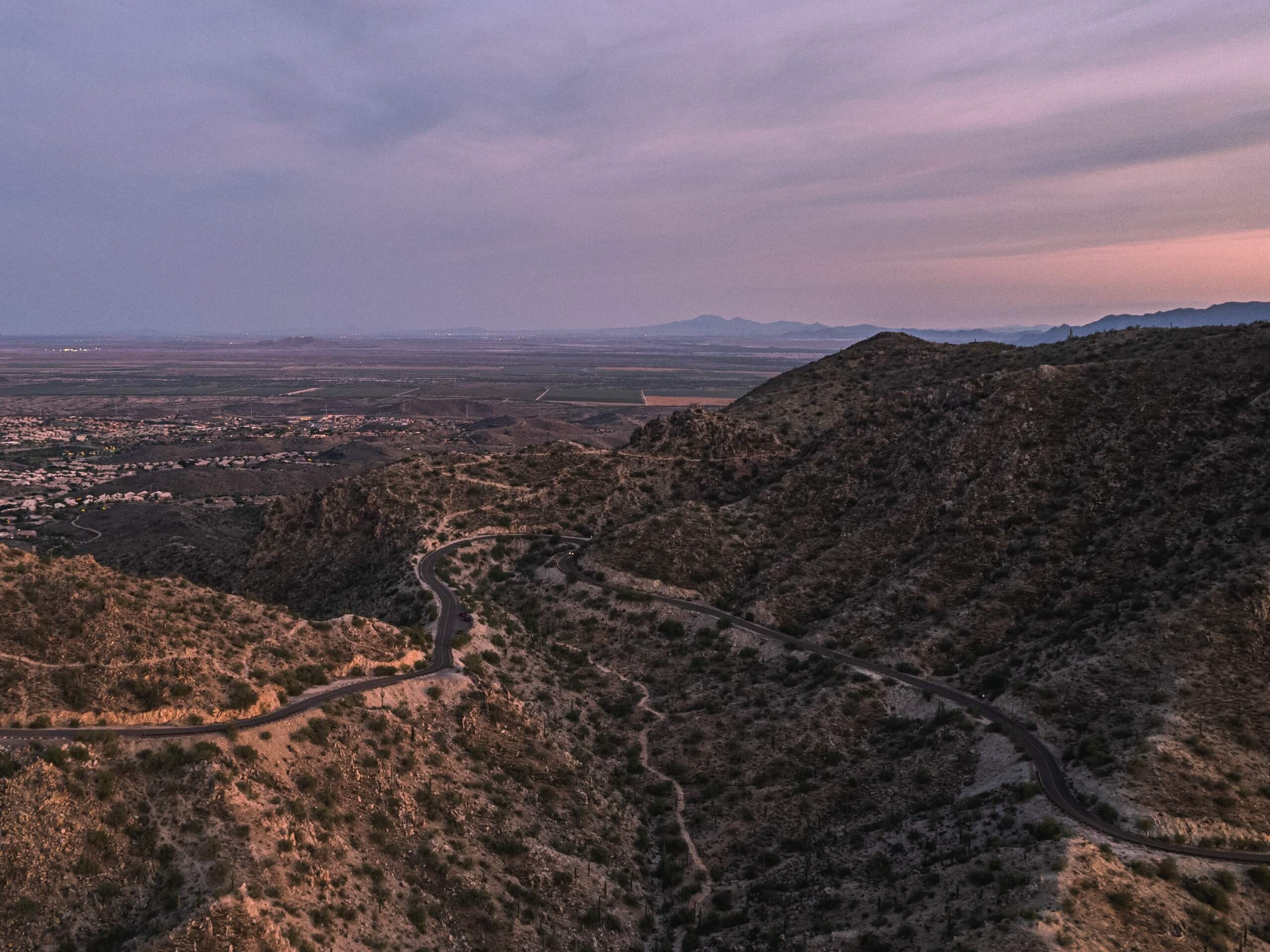
Lost Ranch Ruins to Lost Ranch Mines Loop
Difficulty Rating:
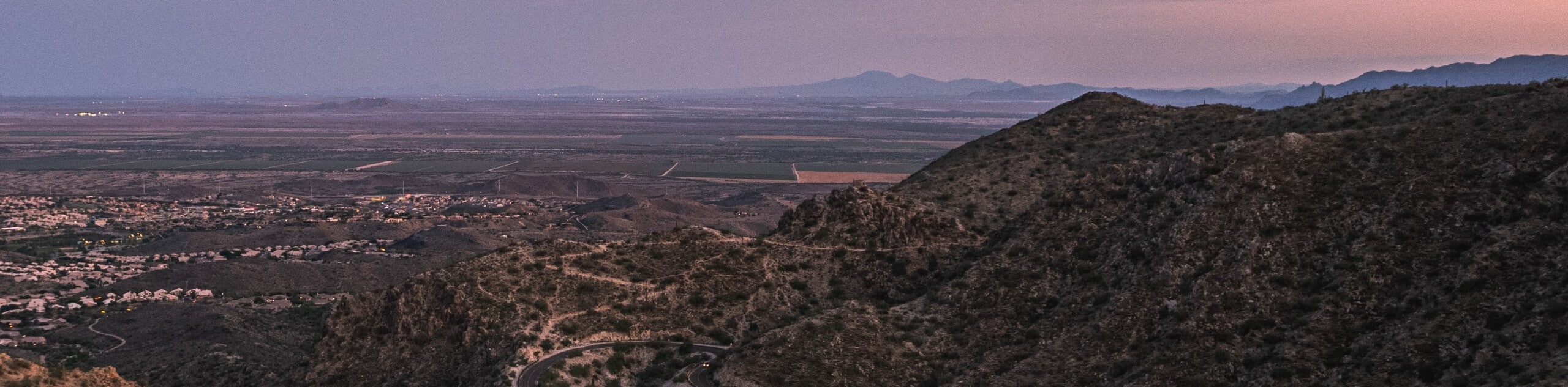
The Lost Ranch Ruins to Lost Ranch Mines Loop is a heavily trafficked 4.9mi hike in the South Mountain Preserve of Phoenix. This hike combines some interesting historical sites with impressive views. It’s a bit of a grind with some steep climbs involved, but it’s worth the work. We recommend this route for intermediate hikers and better. Expect heavy traffic.
Getting there
The trailhead for the Lost Ranch Ruins to Lost Ranch Mines Loop is off S 19th Ave.

About
| Backcountry Campground | No |
| When to do | October-May |
| Pets allowed | Yes - On Leash |
| Family friendly | No |
| Route Signage | Average |
| Crowd Levels | High |
| Route Type | Loop |
Lost Ranch Ruins to Lost Ranch Mines Loop
Elevation Graph
Weather
Lost Ranch Ruins to Lost Ranch Mines Loop Description
The Lost Ranch Ruins to Lost Ranch Mines Loop combines great views of the Estrella Mountains and a historic site. The Lost Ranch Ruins. This hike is super rewarding, but it’ll make you work for it! Expect some steep climbs. There isn’t any scrambling required, but the grade gets pretty high. This isn’t the best trail for kids or beginners but it’s fun for intermediate hikers and better.
Since this is a longer, steeper hike, make sure you bring lots and lots of water, consider sun protection, and plan your hike for the cooler winter months if at all possible. Poles may be helpful for this trail.
The route is a loop, and it can be hiked either way, but our route goes clockwise. From the trailhead, take Pyramid Trail up to the 4-way junction. Stay right here and continue to the next fork., where you’ll stay right. Continue to the base of the loop, where you’ll bear left (but take care not to take Gila Trail, which immediately splits off to the left from Lost Ranch Mine Trail).
You’ll soon begin to climb, and you won’t ease into it–it gets steep and stays steep. Atop the hill, bear right, traverse across the edge of the cliff, and then follow the trail as it descend steeply on the other side of the gully. Return to the base of the loop and then retrace your steps to the trailhead.
Similar hikes to the Lost Ranch Ruins to Lost Ranch Mines Loop hike

Two Bit and Rattle Saddle Loop
The Two Bit and Rattle Saddle Trail is a moderately challenging hike in the Phoenix’s Mountain Preserve near Piestewa Peak.…

Ma-Ha-Tauk and Crosscut Loop
The Ma-Ha-Tauk and Crosscut Loop is a moderate hike in Phoenix’s South Mountain Preserve. With pleasant views and not much…

Coach Whip Hike
The Coach Whip hike is a route in the Thunderbird Conservation Park in Glendale. The park mostly draws residents who…
Comments