Bursera and Gila Trail Loop
View Photos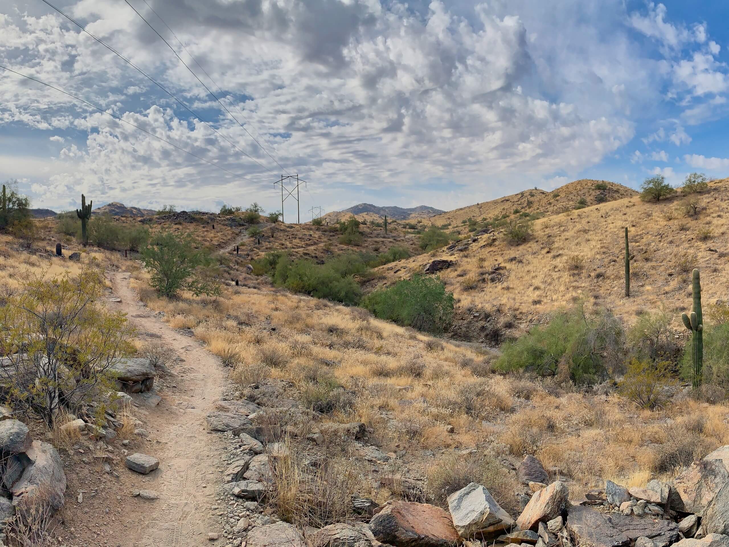
Bursera and Gila Trail Loop
Difficulty Rating:
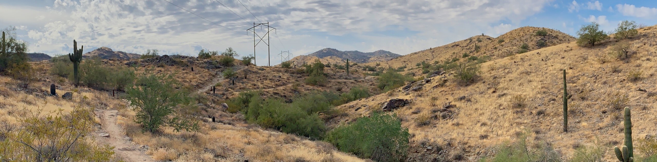
The Bursera and Gila Trail Loop is a hike in a quieter corner of Phoenix’s South Mountain Preserve. This route is 3.6mi long and sees light traffic, making it a pleasantly quieter escape in the preserve than many of the other trails. You can also enjoy this hike as-is or use the connecting trails to add some distance if you want to keep exploring. You can tailor the difficulty a bit by going clockwise versus counterclockwise.
Getting there
The trailhead for the Bursera and Gila Trail Loop is off S 19th Ave.

About
| Backcountry Campground | No |
| When to do | October-May |
| Pets allowed | Yes - On Leash |
| Family friendly | Yes |
| Route Signage | Average |
| Crowd Levels | Low |
| Route Type | Loop |
Bursera and Gila Trail Loop
Elevation Graph
Weather
Bursera and Gila Trail Loop Description
The Bursera and Gila Trail Loop provides you with the great scenery of Phoenix’s South Mountain Preserve without the crowds that more popular trails can bring. This route is pretty quick, but you can opt to add distance by following one of the connecting trails if you’d like.
You can decide to follow this loop either way. Keep in mind that counterclockwise makes for an easier hike and clockwise involves more steep uphill climbing. Our route goes clockwise, so reverse your route if you want an easier hike. Bring lots of water with you.
From the trailhead, take Pyramid Trail to the junction and keep right. Once you reach the fork of Bursera Trail and Pyramid Trail, stay left onto Bursera Trail. You’ll climb up the ridgeline, a steep effort. Enjoy a more laidback stroll across the rest of the ridge. Stay right at the fork and then right again to descend through a set of switchbacks into the valley. The route heads southeast back to the trail fork, from where you’ll retrace your steps.
Similar hikes to the Bursera and Gila Trail Loop hike

Palisade to Basalt Loop
The Palisade to Basalt Loop is a short, easy trail in the Deem Hills Recreation Area. This hike is 1.4mi

Two Bit and Rattle Saddle Loop
The Two Bit and Rattle Saddle Trail is a moderately challenging hike in the Phoenix’s Mountain Preserve near Piestewa Peak.…

Ma-Ha-Tauk and Crosscut Loop
The Ma-Ha-Tauk and Crosscut Loop is a moderate hike in Phoenix’s South Mountain Preserve. With pleasant views and not much…
Comments