Beverly Canyon Loop
View Photos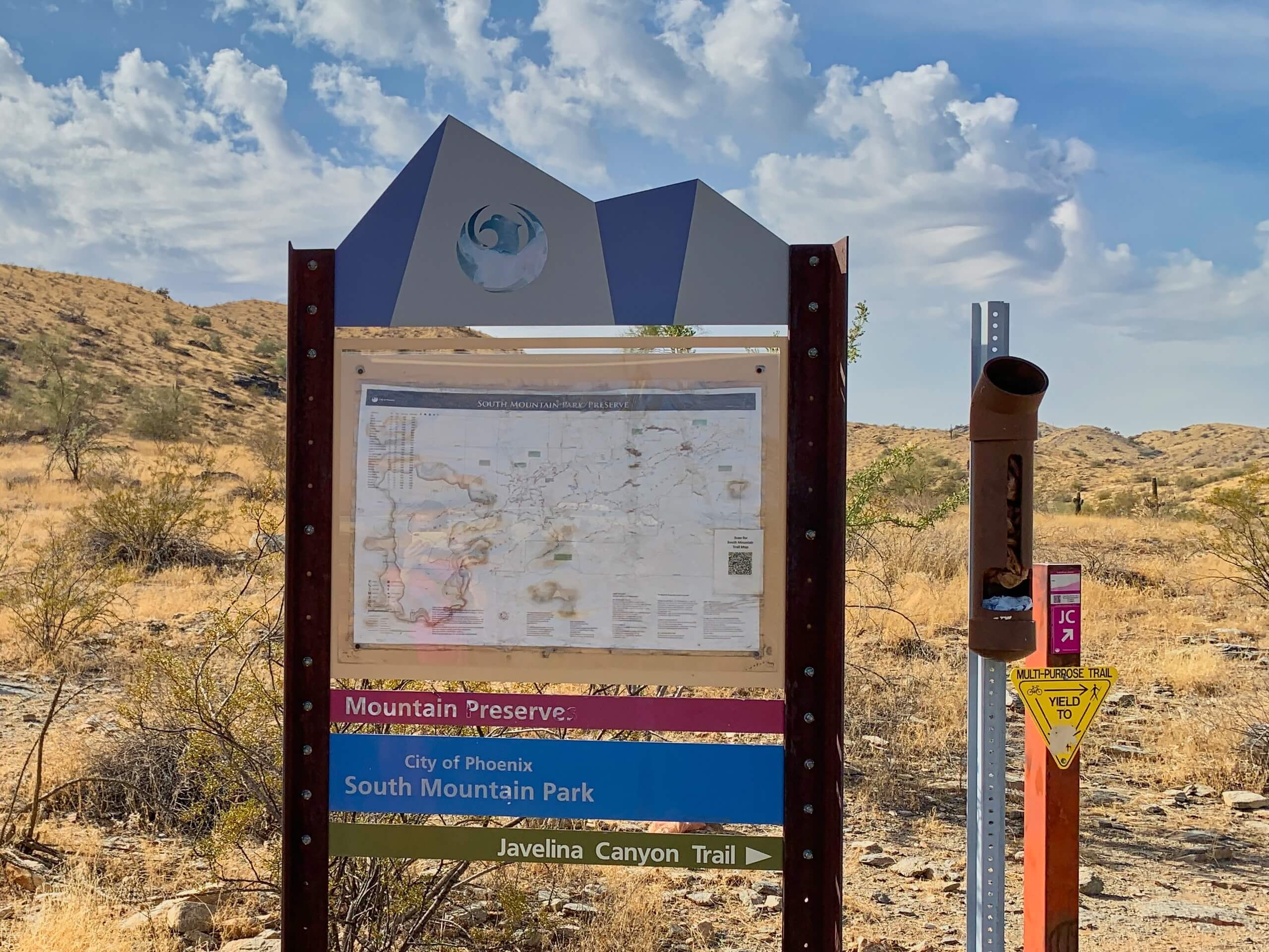
Beverly Canyon Loop
Difficulty Rating:
The Beverly Canyon Loop is a moderately difficult hike in Phoenix’s South Mountain Preserve. This route is just over 2.0mi long and sees light traffic, making it a pleasantly quieter escape in the preserve than many of the other trails. You can also enjoy this hike as-is or use the connecting trails to add some distance if you want to keep exploring. This route is especially nice when the wildflowers are in bloom.
Getting there
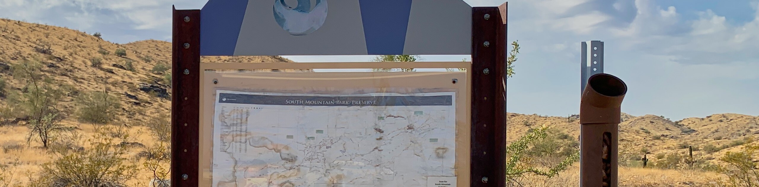
The trailhead for the Beverly Canyon Loop is at the end of S 46th Street.

About
| Backcountry Campground | No |
| When to do | October-May |
| Pets allowed | Yes - On Leash |
| Family friendly | Yes |
| Route Signage | Average |
| Crowd Levels | Low |
| Route Type | Loop |
Beverly Canyon Loop
Elevation Graph
Weather
Beverly Canyon Loop Description
The Beverly Canyon Loop provides you with the great scenery of Phoenix’s South Mountain Preserve without the crowds that more popular trails can bring. This hike leads you through a pretty canyon at the far northeastern end of the preserve. Look for desert wildflowers if you’re hiking during peak bloom times. The trail is obvious and easy to follow.
If this route is shorter than you’d like, you can continue past the top of the loop or use one of the other connecting trails to keep hiking. Download a route guide if you’re interested in exploring the area. Remember to bring lots of water with you and don’t hike in the heat of the day.
From the trailhead, take Beverly Canyon Trail. Note that Javelina Canyon Trail also departs from this trailhead, so you’ll want the trail on your left when you’re looking at the preserve. At the first fork, stay left. You’ll enter the canyon and encounter the base of the loop. Stay right here to hike alongside the ridge above you. Continue until the Pima West Loop splits off to the left and follow it, then take another left to stay on this trail. Continue until you rejoin the Beverly Canon Loop Trail and head back to the trailhead.
Similar hikes to the Beverly Canyon Loop hike

Palisade to Basalt Loop
The Palisade to Basalt Loop is a short, easy trail in the Deem Hills Recreation Area. This hike is 1.4mi

Two Bit and Rattle Saddle Loop
The Two Bit and Rattle Saddle Trail is a moderately challenging hike in the Phoenix’s Mountain Preserve near Piestewa Peak.…

Ma-Ha-Tauk and Crosscut Loop
The Ma-Ha-Tauk and Crosscut Loop is a moderate hike in Phoenix’s South Mountain Preserve. With pleasant views and not much…
Comments