Beverly Canyon Trail
View Photos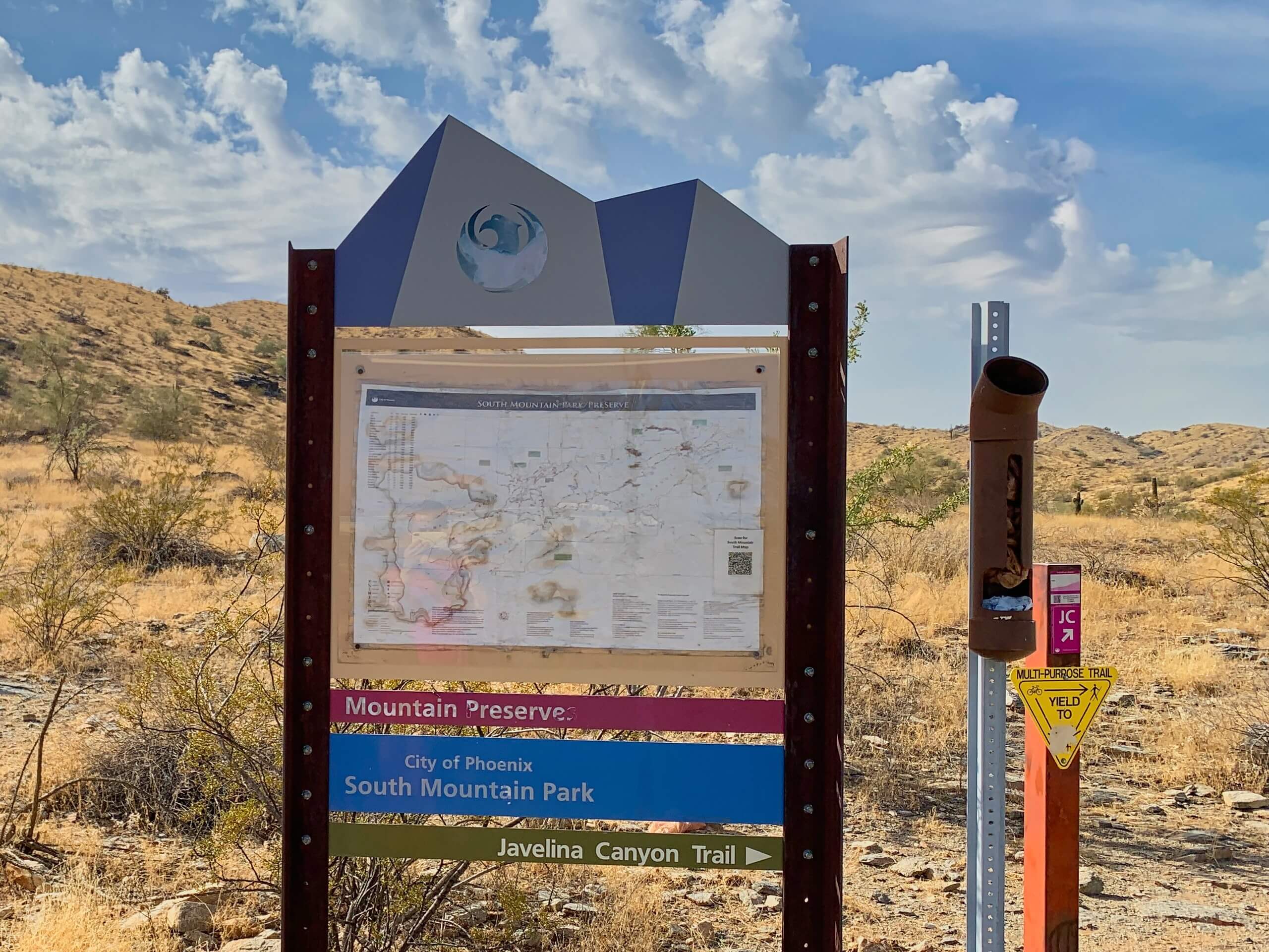
Beverly Canyon Trail
Difficulty Rating:
The Beverly Canyon Trail is a moderately difficult hike in Phoenix’s South Mountain Preserve. This hike is 2.4mi long and offers nice canyon views. It’s also, thankfully, a bit quieter than some of the other trails in the preserve. You can also enjoy this hike as-is or use the connecting trails to add some distance if you want to keep exploring. Dogs are allowed to join you on this hike as long as they’re kept on leash.
Getting there
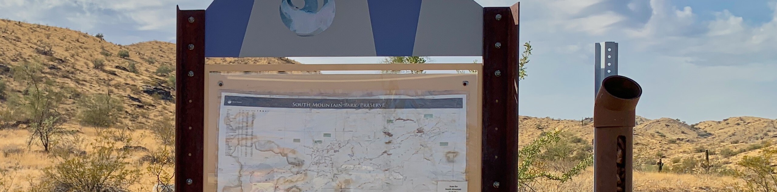
The trailhead for the Beverly Canyon Trail is at the end of S 46th Street.

About
| Backcountry Campground | No |
| When to do | October-May |
| Pets allowed | Yes - On Leash |
| Family friendly | Yes |
| Route Signage | Average |
| Crowd Levels | Moderate |
| Route Type | Out and back |
Beverly Canyon Trail
Elevation Graph
Weather
Beverly Canyon Trail Description
The Beverly Canyon Trail provides you with the great scenery of one of the canyons in Phoenix’s South Mountain Preserve without the crowds that more popular trails can bring. You’ll explore a canyon in the northeastern corner of the preserve. The surroundings are dry and rugged, but look for wildflowers and interesting cacti beside the trail.
If this route is shorter than you’d like, you can continue past the top of the loop or use one of the other connecting trails to keep hiking. Download a route guide if you’re interested in exploring the area. Remember to bring lots of water with you and don’t hike in the heat of the day. Additionally, keeping dogs on leash is important due to the frequency of coyote sightings in this area.
From the trailhead, take Beverly Canyon Trail. Keep in mind that Javelina Canyon Trail also departs from this trailhead, so you’ll want the trail on your left when you’re looking at the preserve. At the first fork, stay left. You’ll hike alongside the ridge immediately to your right. The Beverly Canyon Trail generally continues straight, so don’t be tempted to veer off on side trails. The route ends at the T-junction with National Trail. From here, turn around and retrace your steps.
Similar hikes to the Beverly Canyon Trail hike

Palisade to Basalt Loop
The Palisade to Basalt Loop is a short, easy trail in the Deem Hills Recreation Area. This hike is 1.4mi

Two Bit and Rattle Saddle Loop
The Two Bit and Rattle Saddle Trail is a moderately challenging hike in the Phoenix’s Mountain Preserve near Piestewa Peak.…

Ma-Ha-Tauk and Crosscut Loop
The Ma-Ha-Tauk and Crosscut Loop is a moderate hike in Phoenix’s South Mountain Preserve. With pleasant views and not much…
Comments