
Semaphore Lakes Trail
View PhotosSemaphore Lakes Trail
Difficulty Rating:
Hike along the Semaphore Lakes Trail to experience the serenity of tranquil alpine lakes and rugged mountain views. This 3.6mi out-and-back hiking route is only moderate in difficulty and has a slight elevation gain as you climb gently through the forest towards the series of beautiful lakes. Once there, you’ll have views of the Face and Locomotive mountains, with the Train Glacier nestled in between. This is a great half-day hike that is a little off-the-beaten-path.
Getting there
To get to the parking area for the Semaphore Lakes Trail from Pemberton, head north on Pemberton Meadows Road for 14.6mi and make a right turn to get onto Lillooet FSR. Continue on this for 0.9mi and make a left at the first cross street. Keep on for 4.3mi and turn right onto Hurley River FSR. Stay on this for 6.0mi, where you’ll find the parking area on your left side.

About
| When to do | June–October |
| Backcountry Campsites | No |
| Pets allowed | Yes - On Leash |
| Family friendly | Older Children only |
| Route Signage | Average |
| Crowd Levels | Low |
| Route Type | Out and back |
Semaphore Lakes Trail
Elevation Graph
Weather
Semaphore Lakes Trail Description
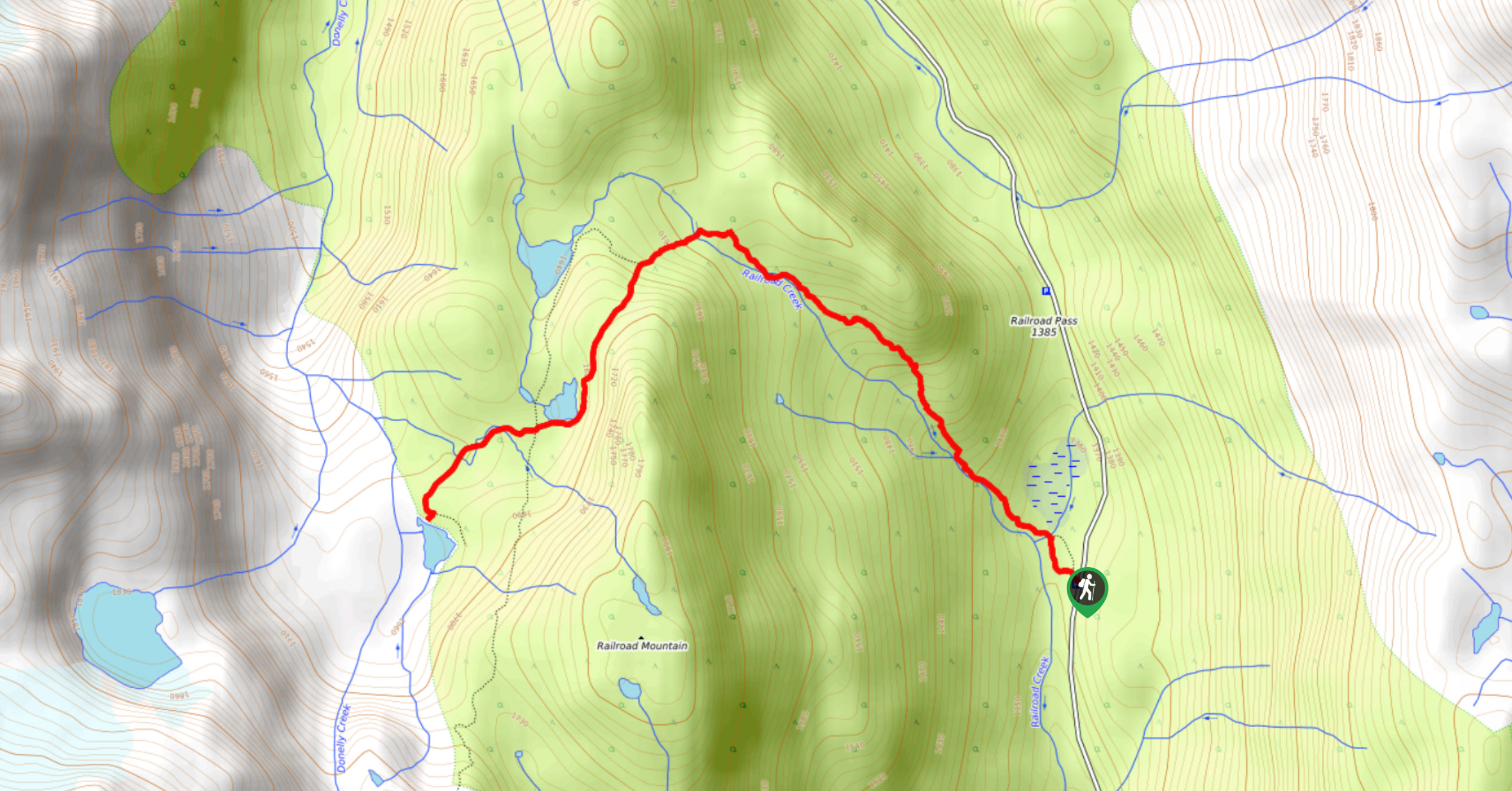
The Semaphore Lakes Trail is a moderate hike near Pemberton with some varied terrain and scenic lake views. The trail runs alongside Railroad Creek and has proximity to the lakes, making this route often wet and muddy, with the late season seeing the trail blanketed in snow. Make sure to wear proper hiking footwear, preferably water-resistant or waterproof, to stay comfortable and dry out on the trail. Additionally, the area around the lakes is known to be a common location for grizzly and black bear sightings. As is the case with most BC trails, remember to travel in groups, make lots of noise, and bring bear spray when hiking in this area.
This trail is a beautiful way to get out and experience the wilderness around Pemberton without tackling some of the longer and more challenging routes in the area. Along this hike, you’ll traverse some beautiful forest terrain before arriving at the tranquil waters of the Semaphore Lakes. To the west, you’ll have spectacular views of nearby peaks, including the Locomotive, Tender, and Face mountains, and Train Glacier. This 3.6mi route can be enjoyed by both experienced and amateur hikers alike.
Setting out on the trail, go left at the initial fork in the path and continue straight to cross over a creek, passing by a marshy area on your right. Continue along the route as it skirts Railroad Creek and climbs uphill through the forest. Eventually, the trail will turn west and cross over Railroad Creek on the approach to the Semaphore Lakes.
Upon crossing the creek, you’ll quickly reach another fork in the trail. Going right will take you on an optional route to the largest of the lakes, but you’ll keep left for the purpose of this guide. Continue on the path as it hugs alongside the second-largest of the lakes and turns west to arrive at a four-way intersection. Pass straight through to make your way over three creek crossings and arrive at the third and final lake.
When you reach the serene edge of the lake, spend some time breathing in the crisp air while exploring the area and taking in the impressive mountain views. To the west, you’ll have an awesome image of the imposing Face, Locomotive, and Tender mountains towering high above and the Train Glacier nestled in between the rugged peaks. After absorbing the scenic views, head back down along the Semaphore Lakes Trail to return to your vehicle.
Insider Hints
Wear water-resistant or waterproof hiking footwear, as the trail can be wet and muddy.
Bring bear spray, as bears are known to frequent the area.
Use microspikes or snowshoes to traverse the snow better later in the season.
Similar hikes to the Semaphore Lakes Trail hike
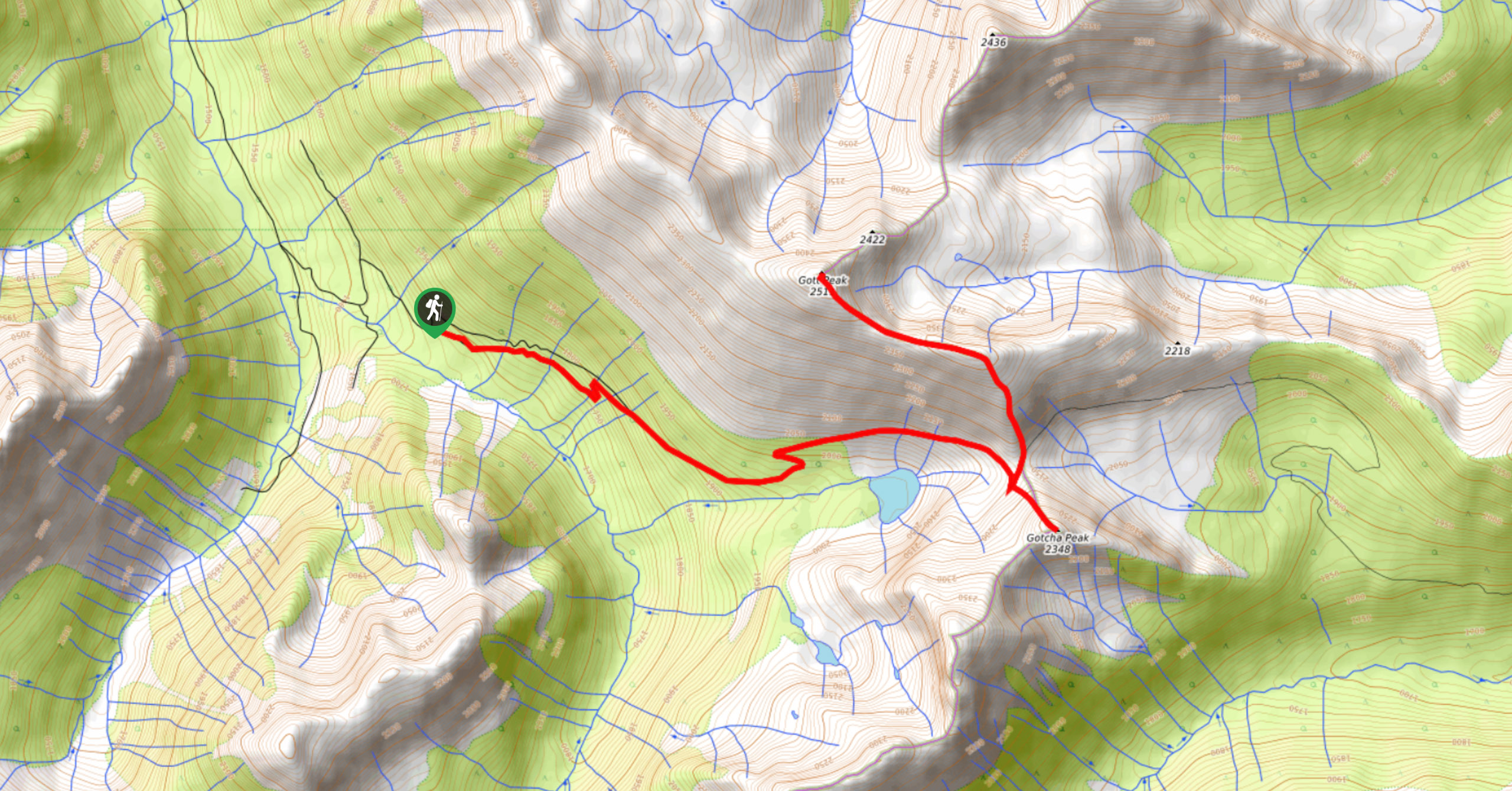
Blowdown Pass to Gott Peak
Blowdown Pass to Gott Peak is a difficult out-and-back trail that climbs uphill to summit Gotcha and Gott Peaks. Along…
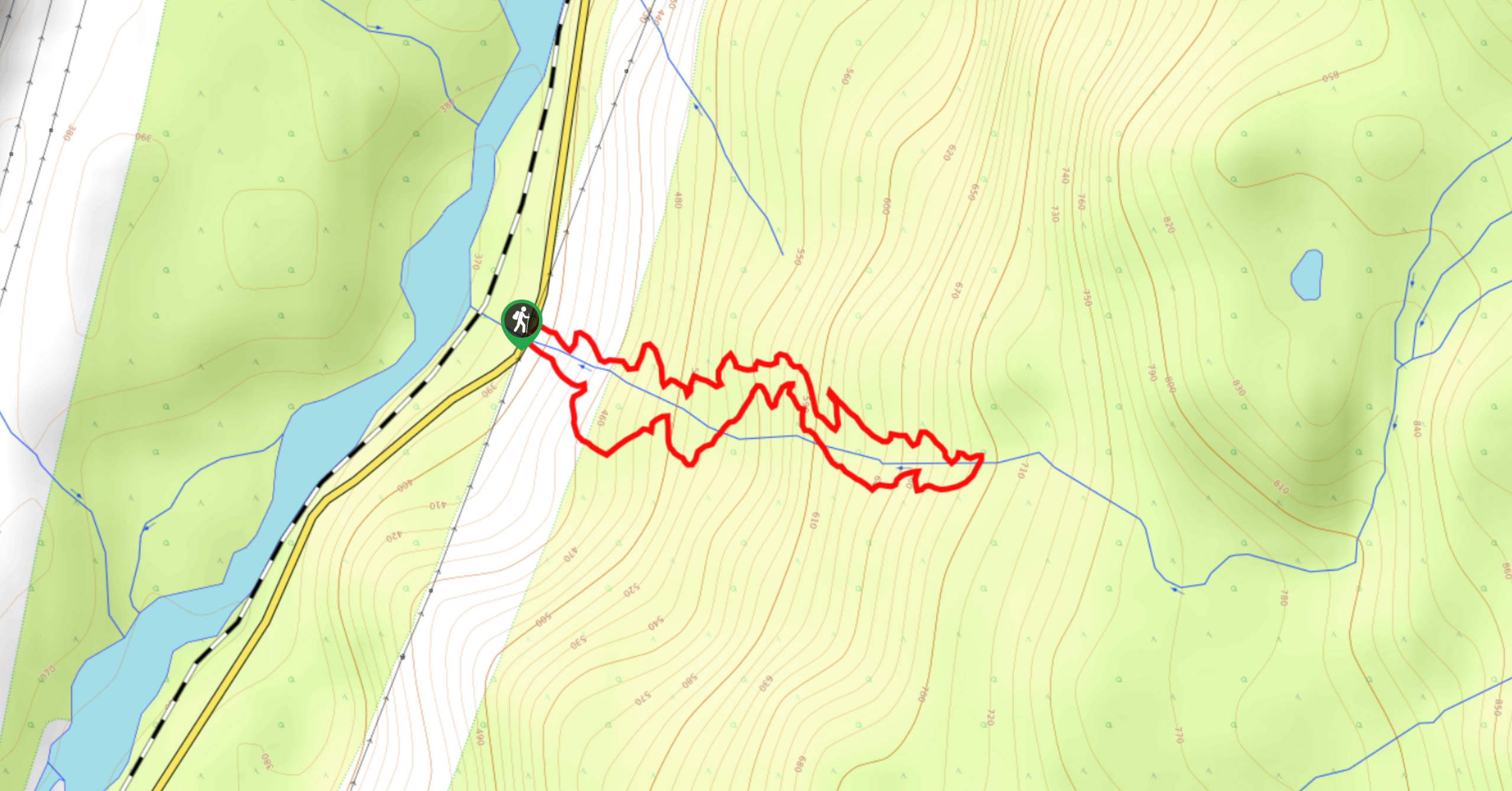
Cool Creek Canyon Hike
The Cool Creek Canyon Hike is a 1.3mi loop route near Pemberton that features spectacular mountain views and…
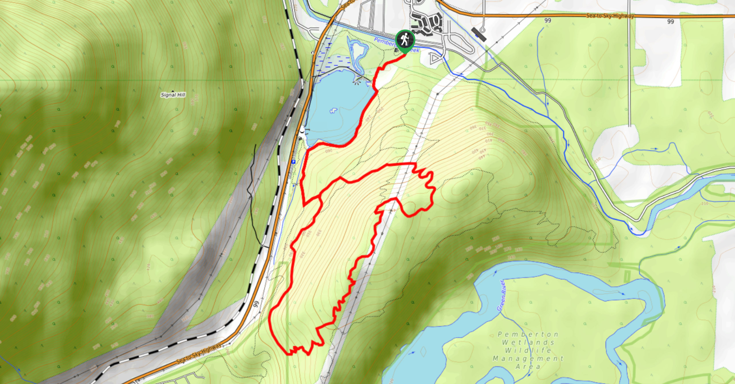
One Mile Lake Trail
Hiking around One Mile Lake will take you on a 4.3mi trek through the woodlands south of Pemberton.…
Comments