
One Mile Lake Trail
View PhotosOne Mile Lake Trail
Difficulty Rating:
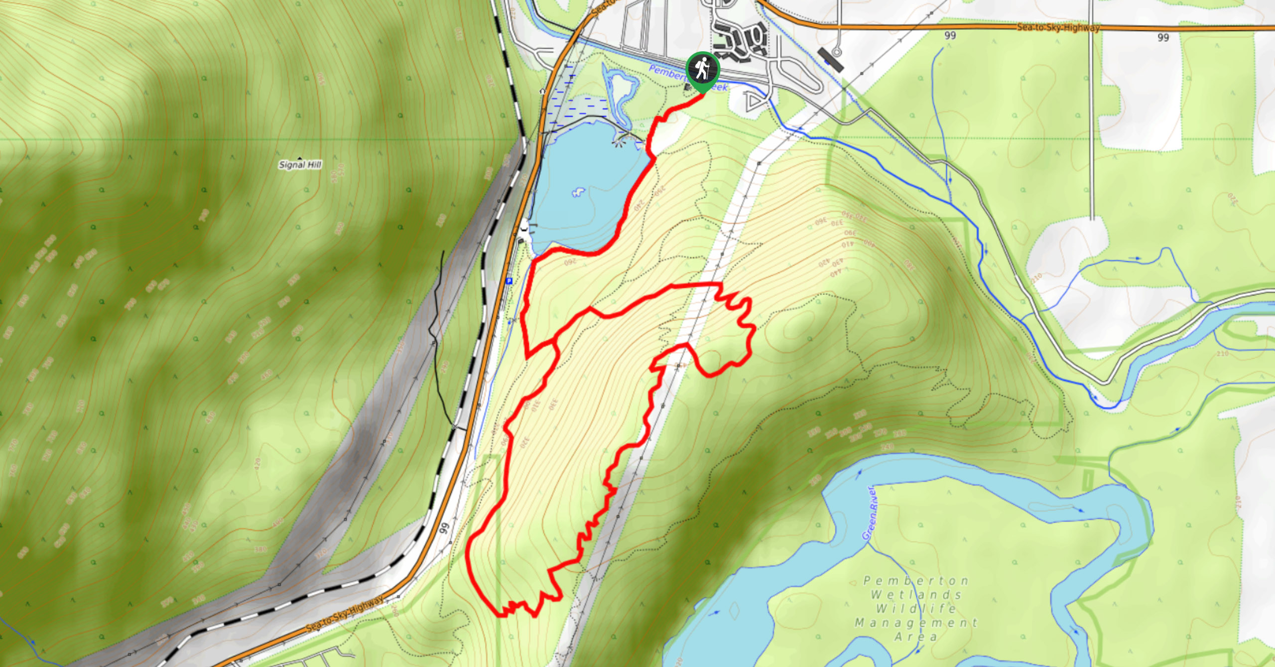
Hiking around One Mile Lake will take you on a 4.3mi trek through the woodlands south of Pemberton. Along the trail, you’ll have scenic views over the charming lake before heading through the forest cover on a loop that will reveal viewpoints overlooking the valley and surrounding mountains. This easy trail is great for families looking to experience the outdoors—just remember to bring bug spray!
Getting there
To get to the trailhead for One Mile Lake from Pemberton, park your vehicle near the tourist information centre on Inukshuk Way and follow the trail south to cross over Pemberton Creek. Next to the One Mile Lake Nature Centre, you’ll find the trailhead.

About
| When to do | Year-round |
| Backcountry Campsites | No |
| Pets allowed | Yes - On Leash |
| Family friendly | Older Children only |
| Route Signage | Average |
| Crowd Levels | Moderate |
| Route Type | Lollipop |
One Mile Lake Trail
Elevation Graph
Weather
One Mile Lake Trail Description
The hike around One Mile Lake is a scenic route through the woodlands south of Pemberton that provides nice views of the surrounding valley and nearby mountains. The trail comprises fairly easy terrain, making it a nice trek for hikers of all skill levels; however, due to proximity to the water, there are many mosquitos along the trail. Make sure to bring bug spray and adequate clothing to protect yourself from bug bites when hiking along this route.
Setting out from the trailhead next to the One Mile Lake Nature Centre, head south towards the lake and walk around its eastern shore. Reaching the junction at the end of the lake, go left to follow a path alongside the creek and another left at the next fork. Continue for a short distance and head left onto the Overhill Trail to follow a forested loop through the area. You’ll periodically have views overlooking the valley and nearby peaks along this stretch of the trail, including Mount Currie. After completing the loop, head back on the same path to return to One Mile Lake, where you can either spend the rest of the day by the water or head back to your vehicle.
Similar hikes to the One Mile Lake Trail hike
Blowdown Pass to Gott Peak
Blowdown Pass to Gott Peak is a difficult out-and-back trail that climbs uphill to summit Gotcha and Gott Peaks. Along…
Cool Creek Canyon Hike
The Cool Creek Canyon Hike is a 1.3mi loop route near Pemberton that features spectacular mountain views and…
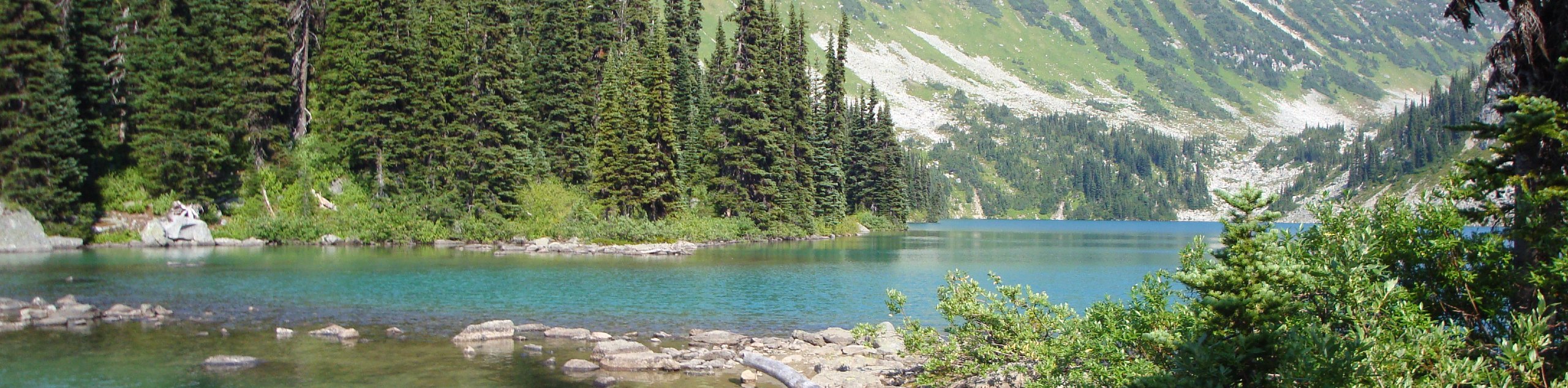
Hike to Rohr Lake
The hike to Rohr Lake is a fun 5.3mi out-and-back trail that traverses a variety of terrain, including…
Comments