
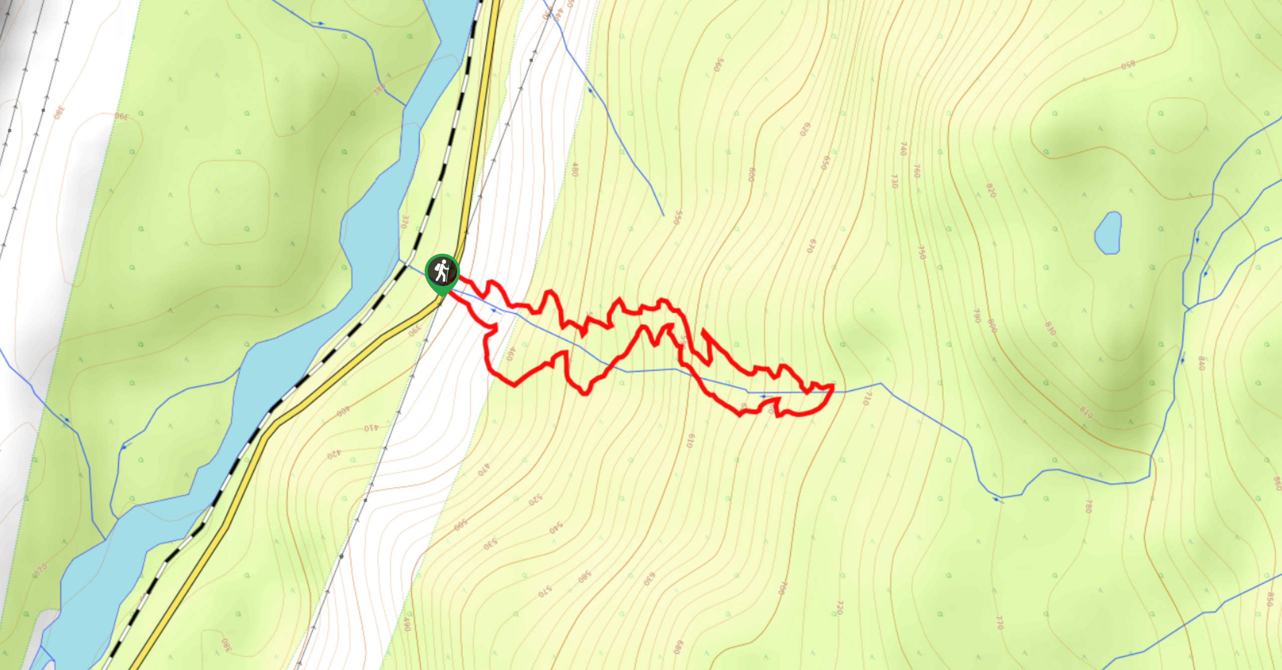
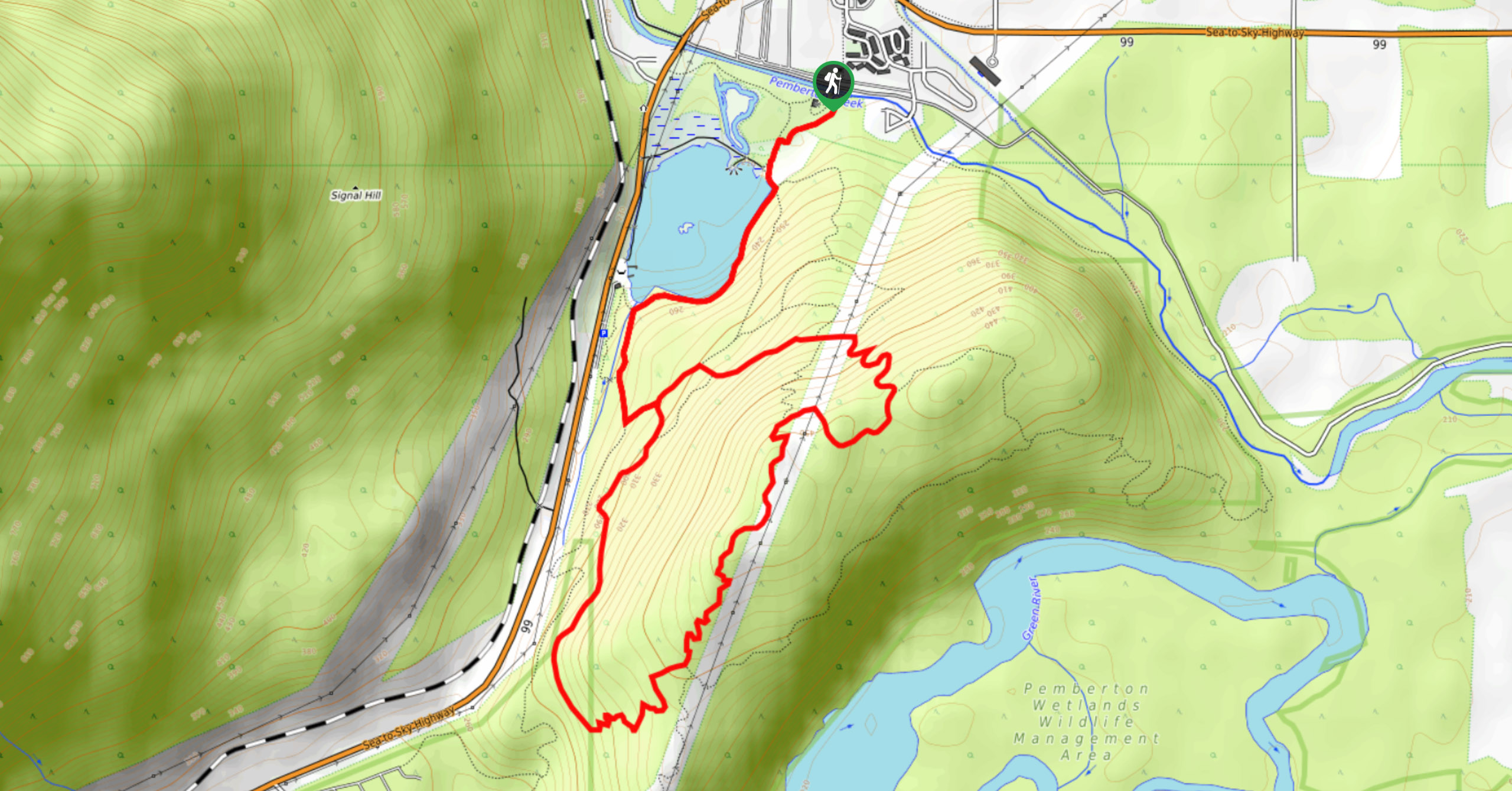
Cool Creek Canyon Hike
View PhotosCool Creek Canyon Hike
Difficulty Rating:
The Cool Creek Canyon Hike is a 1.3mi loop route near Pemberton that features spectacular mountain views and a majestic waterfall. Hike along this forested trail and spend some time at the picnic area, where you can admire the beautiful views overlooking the valley before continuing to gaze at the cascading waterfall. This short trail offers a good variety of terrain and can be enjoyed by hikers of most skill levels.
Getting there
To reach the Cool Creek Canyon Hike trailhead from Pemberton, head east on BC-99 N for 4.3mi and continue straight to get onto Pemberton Portage Road. Follow this for 8.5mi to arrive at the trailhead on your right.

About
| When to do | May–November |
| Backcountry Campsites | No |
| Pets allowed | Yes - On Leash |
| Family friendly | Older Children only |
| Route Signage | Average |
| Crowd Levels | Moderate |
| Route Type | Circuit |
Cool Creek Canyon Hike
Elevation Graph
Weather
Cool Creek Canyon Hiking Trail Description
The Cool Creek Canyon Hike is a popular loop northeast of Pemberton that features scenic views over the undulating terrain of the valley and a vantage point overlooking a majestic waterfall. Although this route is short, sections of the trail are steep in places. Make sure to wear proper hiking footwear and bring hiking poles to help traverse the steep terrain. Along the route, you’ll be rewarded with breathtaking views that look out over the valley and its surrounding mountains and witness the natural beauty of the cascading water that streams down the falls. This is a great little hike that you won’t want to miss out on in the Pemberton area.
Similar hikes to the Cool Creek Canyon Hike hike
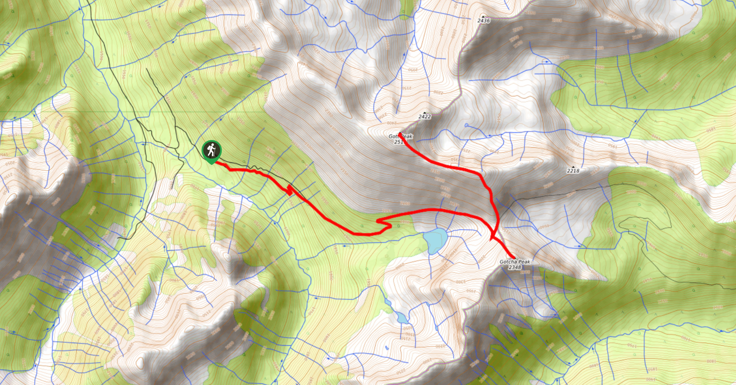
Blowdown Pass to Gott Peak
Blowdown Pass to Gott Peak is a difficult out-and-back trail that climbs uphill to summit Gotcha and Gott Peaks. Along…
One Mile Lake Trail
Hiking around One Mile Lake will take you on a 4.3mi trek through the woodlands south of Pemberton.…
Hike to Rohr Lake
The hike to Rohr Lake is a fun 5.3mi out-and-back trail that traverses a variety of terrain, including…
Comments