
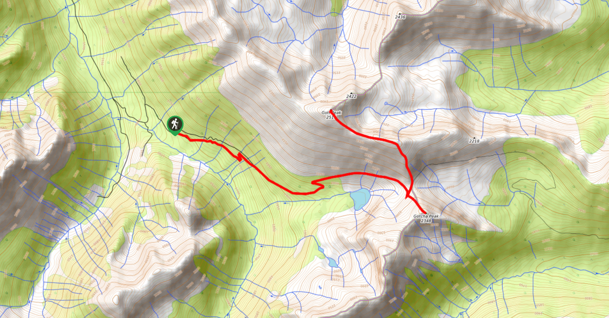
Blowdown Pass to Gott Peak
View PhotosBlowdown Pass to Gott Peak
Difficulty Rating:
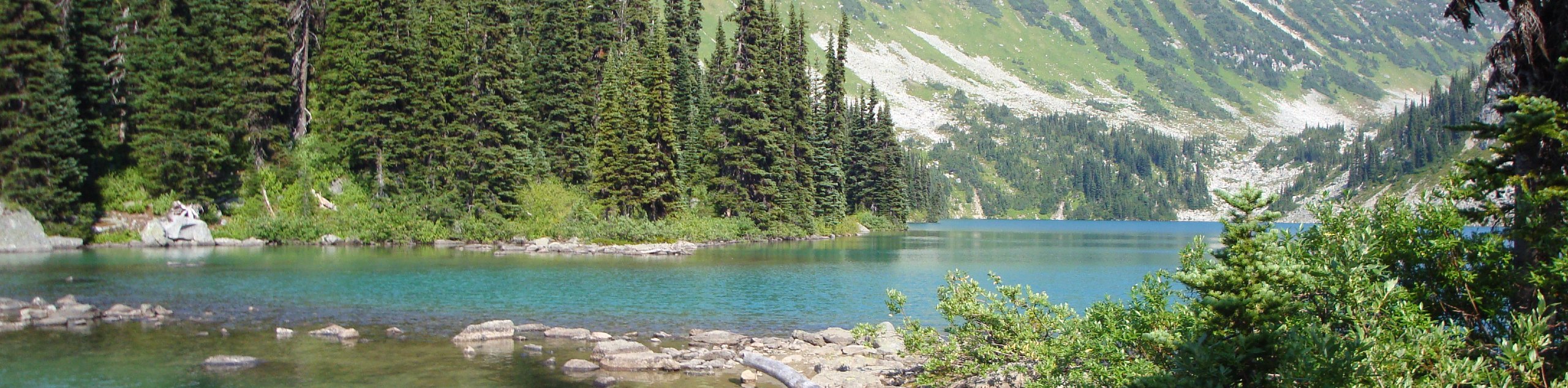
Blowdown Pass to Gott Peak is a difficult out-and-back trail that climbs uphill to summit Gotcha and Gott Peaks. Along the trail, you’ll climb through the beautiful woodlands and pass by a scenic alpine lake before scrambling up Gotcha Peak and working along a ridgeline to Gott Peak. This is a great day hike if you’re looking for a bit of a challenge along varying terrain without an overly technical trail.
Getting there
To access the Blowdown Pass to Gott Peak trailhead from Pemberton, drive east on BC-99 N for 4.3mi and turn right to stay on the road. Follow it for another 28.9mi, where you will turn right onto Blowdown Pass Forest Service Road. Continue for 6.6mi to reach the starting point of the hike.

About
| When to do | May–November |
| Backcountry Campsites | No |
| Pets allowed | No |
| Family friendly | No |
| Route Signage | Average |
| Crowd Levels | Low |
| Route Type | Out and back |
Blowdown Pass to Gott Peak
Elevation Graph
Weather
Blowdown Pass to Gott Peak Trail Description
Blowdown Pass to Gott Peak is a challenging out-and-back hiking route near Pemberton that climbs uphill for an elevation gain of 3461ft to summit Gotcha Peak and nearby Gott Peak. Hiking along the trail, you’ll pass by a pristine alpine lake before cresting a ridge that leads to Gotcha Peak. After a quick scramble up to the peak, hikers will return down to the ridgeline and follow it northwest on the approach to Gott Peak. After an initial climb, the trail will level out, and you’ll arrive at the summit. Admire the vast views over Stein Valley and the surrounding mountains before heading back down through the pass to return to your car below.
Similar hikes to the Blowdown Pass to Gott Peak hike
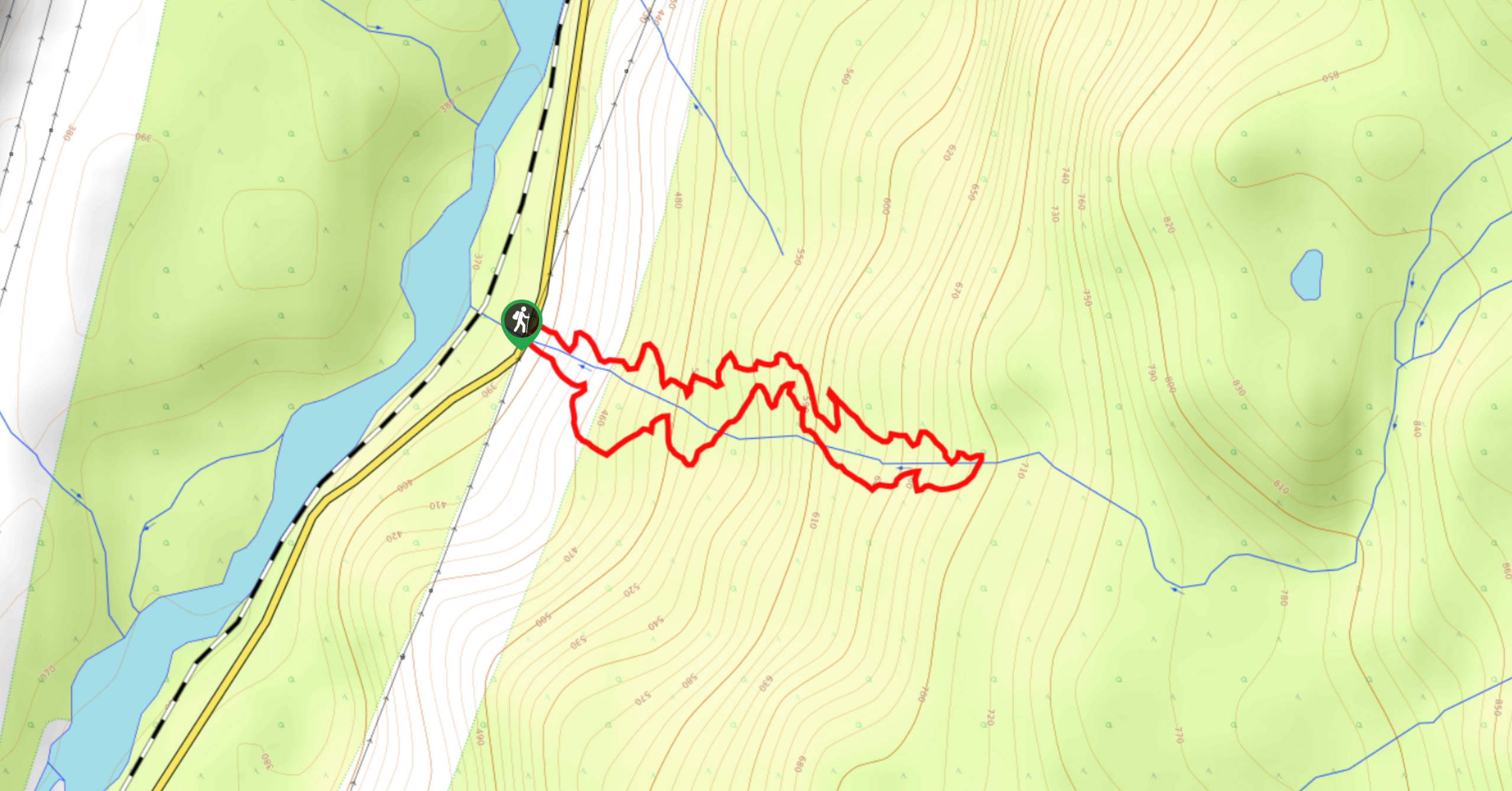
Cool Creek Canyon Hike
The Cool Creek Canyon Hike is a 1.3mi loop route near Pemberton that features spectacular mountain views and…
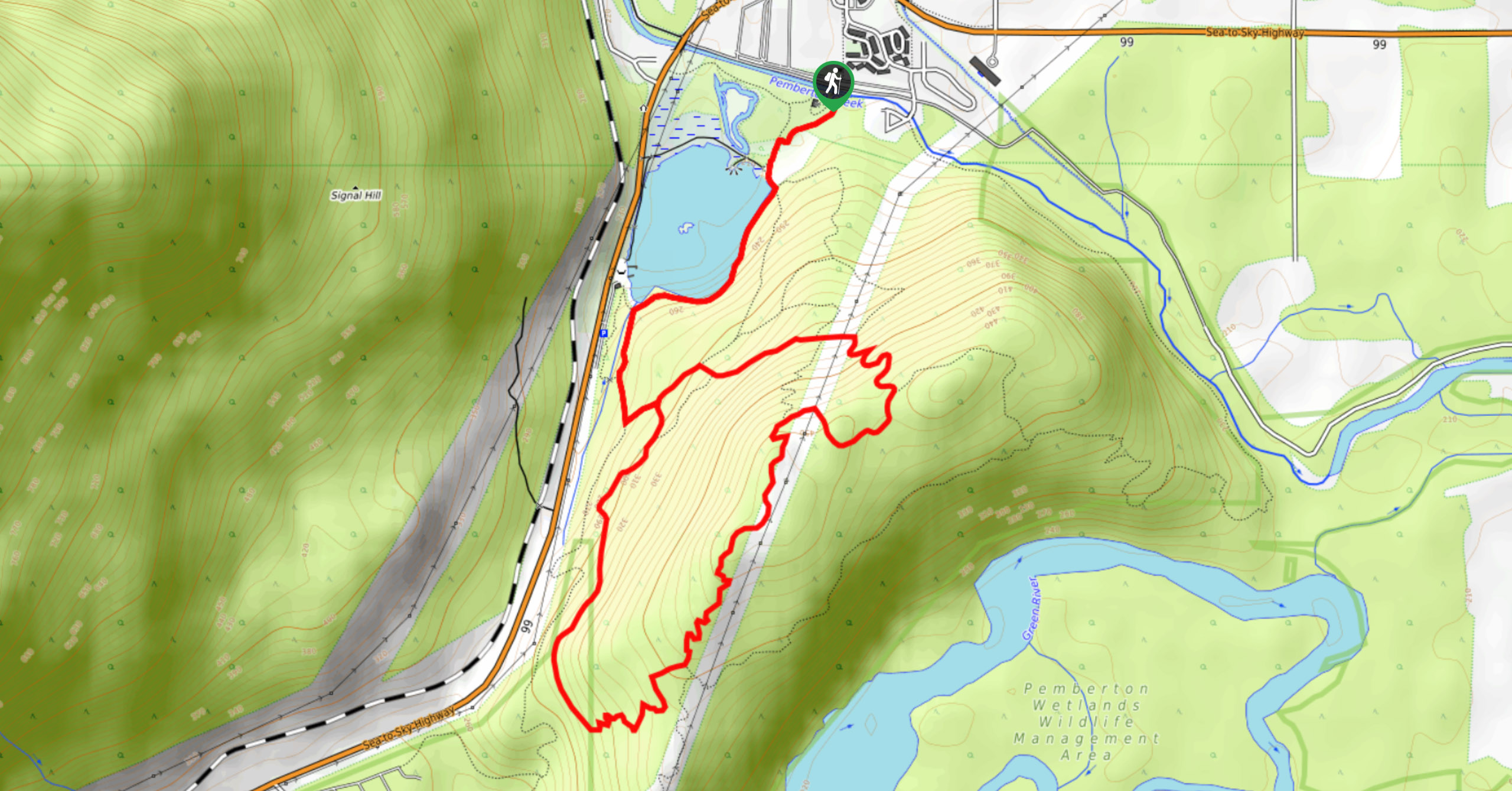
One Mile Lake Trail
Hiking around One Mile Lake will take you on a 4.3mi trek through the woodlands south of Pemberton.…
Hike to Rohr Lake
The hike to Rohr Lake is a fun 5.3mi out-and-back trail that traverses a variety of terrain, including…
Comments