Hike to Rohr Lake
View Photos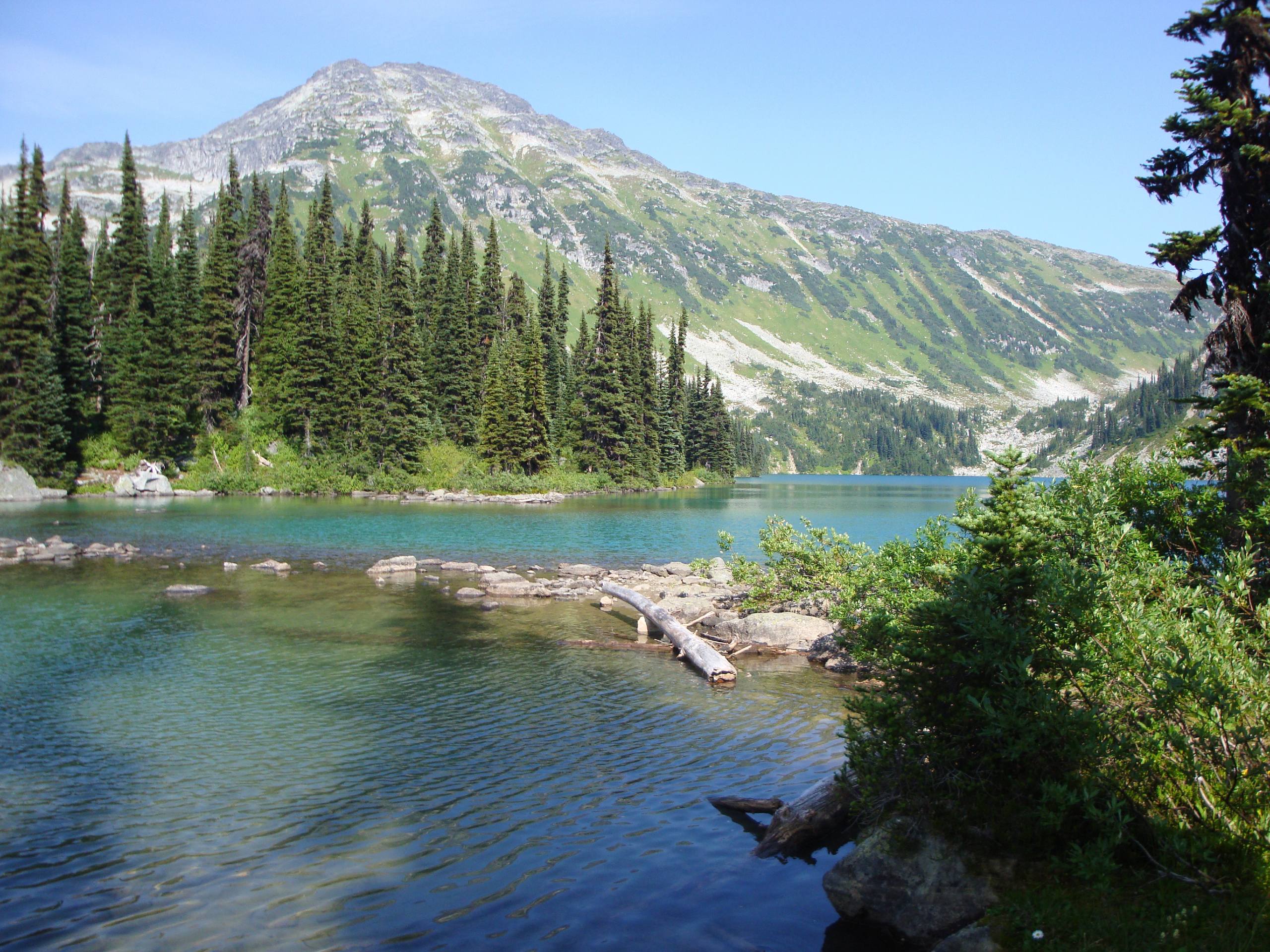
Hike to Rohr Lake
Difficulty Rating:
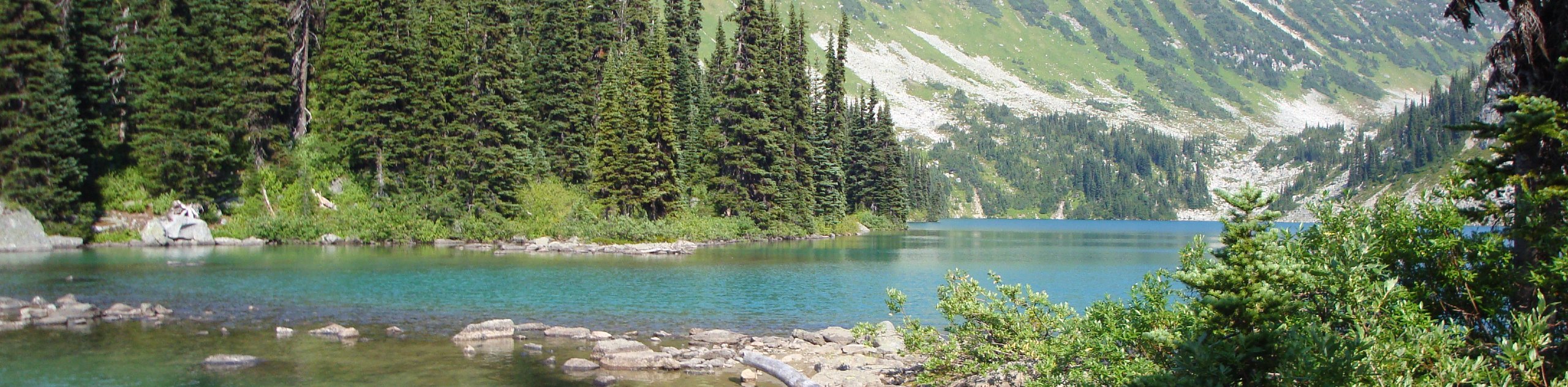
The hike to Rohr Lake is a fun 5.3mi out-and-back trail that traverses a variety of terrain, including flat service roads, dirt trails, and boulder fields to access the lake. Along the path, you’ll pass through a beautiful stretch of forest before crossing over a technical boulder field to arrive at the turquoise water of Rohr Lake and the surrounding mountains. This is a moderate hiking route near Pemberton that will provide hours of outdoor fun.
Getting there
To reach the Rohr Lake Hike trailhead from Pemberton, drive east along BC-99 N for 4.3mi and turn right to continue on the road. From here, continue for 16.6mi, where you’ll find parking on both sides of the highway.

About
| When to do | April–October |
| Backcountry Campsites | No |
| Pets allowed | Yes |
| Family friendly | No |
| Route Signage | Average |
| Crowd Levels | Moderate |
| Route Type | Out and back |
Hike to Rohr Lake
Elevation Graph
Weather
Rohr Lake Trail Description
The Rohr Lake Hike is a great trail near Pemberton that climbs uphill through the forest to the serene waters of Rohr Lake. Although the route is only moderate, there is a decent scramble section on the approach to the lake. Hikers should be prepared for trail conditions that will almost certainly include mud and snow early/late in the season and bugs during the summer. Bring any necessary gear, such as hiking boots, crampons, snowshoes, or microspikes, to better traverse the trail. Additionally, as is the case with most routes in BC, hikers should carry bear spray to avoid any potentially dangerous encounters with bears or big cats.
This hiking route has a great variation in terrain that will make for a fun day of uphill adventuring towards Rohr Lake. Setting out on the trail, you will very quickly reach a junction with Cayoosh Creek FSR. Follow the road north on a path leading through the forest towards the lake. Reaching a fork in the trail, follow the path to the left to stay on the service road for another 0.8mi. At this point, you will leave the road to continue along the Marriott Basin Trail. Follow this trail as it crosses over several streams before traversing a technical boulder field on the final approach to the lake.
Reaching the shores of Rohr Lake, you’ll be rewarded with picturesque views over the turquoise water and the rugged mountains that frame the backdrop. After taking in the spectacular views and spending some time by Rohr Lake, head back down the same trail to return to your vehicle below.
Similar hikes to the Hike to Rohr Lake hike
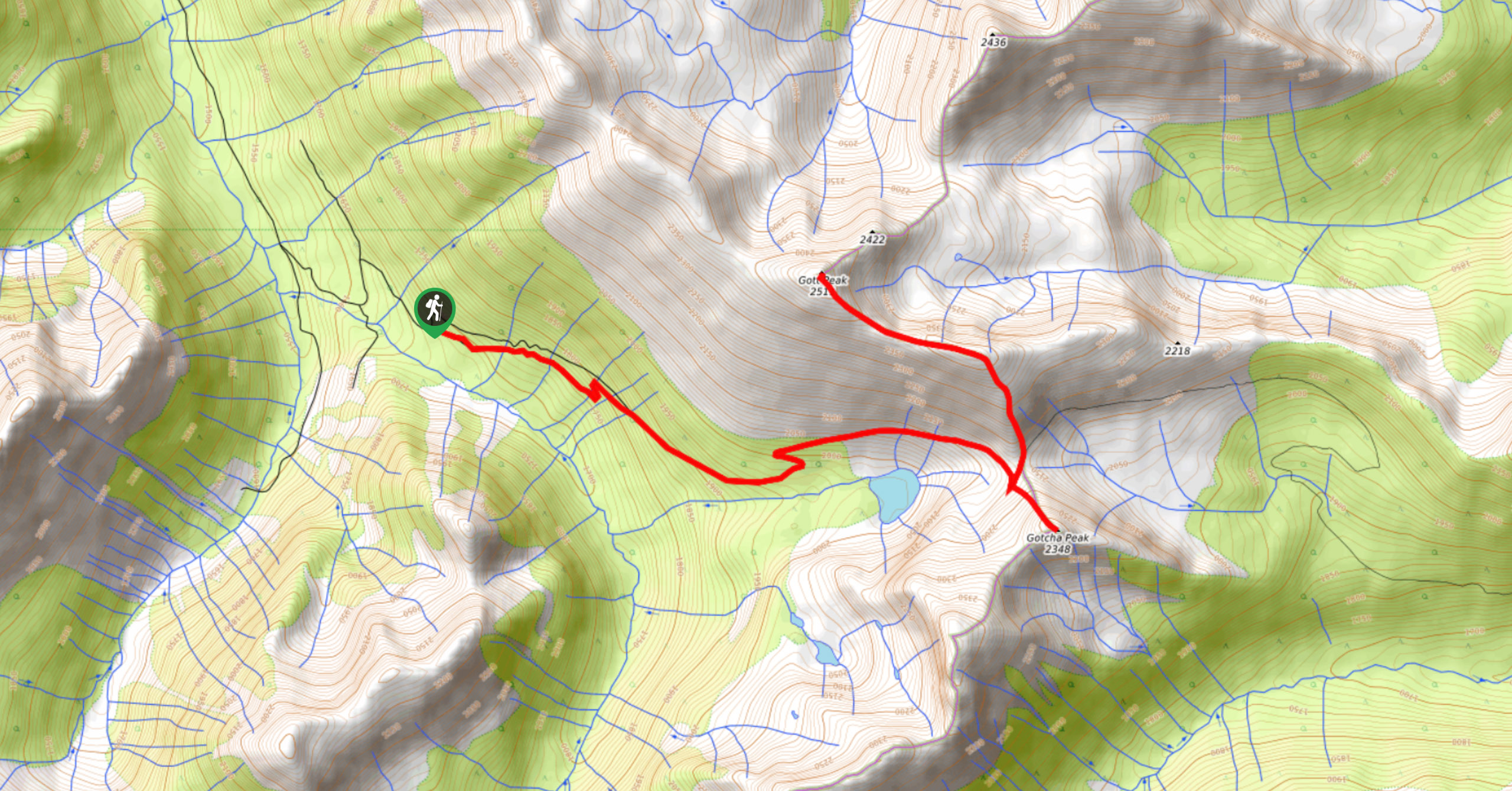
Blowdown Pass to Gott Peak
Blowdown Pass to Gott Peak is a difficult out-and-back trail that climbs uphill to summit Gotcha and Gott Peaks. Along…
Cool Creek Canyon Hike
The Cool Creek Canyon Hike is a 1.3mi loop route near Pemberton that features spectacular mountain views and…
One Mile Lake Trail
Hiking around One Mile Lake will take you on a 4.3mi trek through the woodlands south of Pemberton.…
Comments