
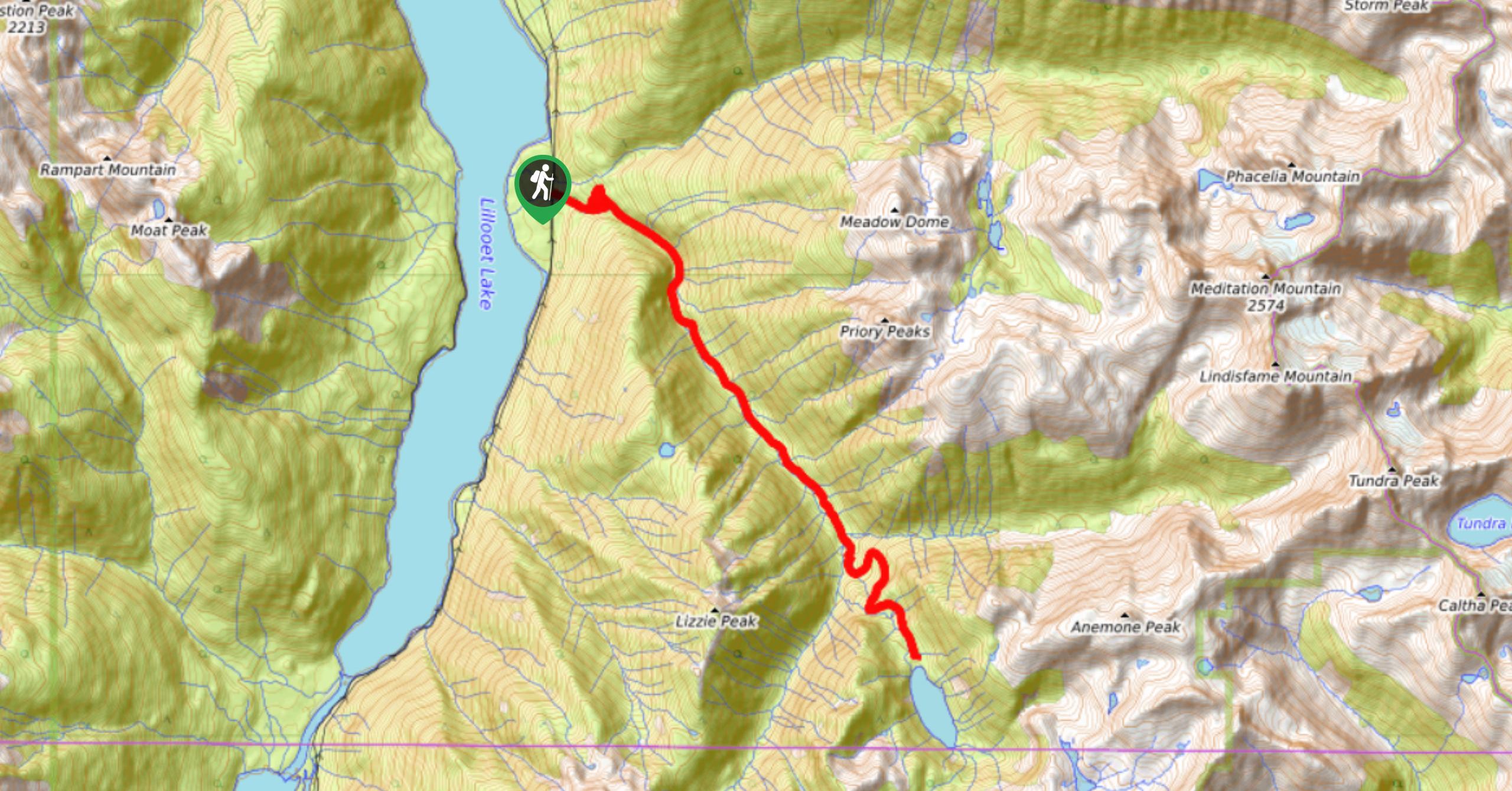
Lizzie Lake Trail
View PhotosLizzie Lake Trail
Difficulty Rating:
The Lizzie Lake Trail is a 14.7mi out-and-back hiking route southeast of Pemberton, BC, that climbs uphill through the forest to reach the scenic shores of the lake. Along the trail, you will pass between rugged peaks and through calming alpine meadows that are blanketed with wildflowers in the late summer. This trail is a great option for a long day hike or broken up into a multi-day adventure.
Getting there
To reach the Lizzie Lake trailhead from Pemberton, head east on BC-99 for 4.3mi and turn right to stay on the highway. After 6.2mi, turn right again onto In-SHUCK-ch Forest Service Road. The trailhead will be on the left at 9.9mi.

About
| When to do | July–September |
| Backcountry Campsites | No |
| Pets allowed | Yes - On Leash |
| Family friendly | No |
| Route Signage | Average |
| Crowd Levels | Moderate |
| Route Type | Out and back |
Lizzie Lake Trail
Elevation Graph
Weather
Lizzie Lake Trail Description
The Lizzie Lake Trail is a long hiking route southeast of Pemberton, BC, that first climbs uphill along a forest service road before transitioning to a pleasant trail through the beautiful alpine landscape. The route is a long day hike, but the terrain isn’t overly difficult to navigate, making this a perfect option for experienced hikers or those looking to build up their experience on a longer route. This area is frequented by bears, making sure to travel in groups, make lots of noise, and bring bear spray to prevent any potentially dangerous encounters.
Along the trail, hikers will experience a wide range of terrain and scenery, including beautiful stretches of woods along the forest service road and scenic alpine meadows once you begin to approach Lizzie Lake. Majestic mountain peaks will surround you in all directions as you climb uphill. From the beautiful edge of the lake, you will be able to spot Whisky and Tarn Peaks to the east, Beacon Mountain to the south, and Lizzie Peak to the west. Whether you want to hike the 14.7mi trail all in one day or spend a night by the picturesque lake, this is an awesome trail that should be on your list if you are in the Pemberton area.
Similar hikes to the Lizzie Lake Trail hike
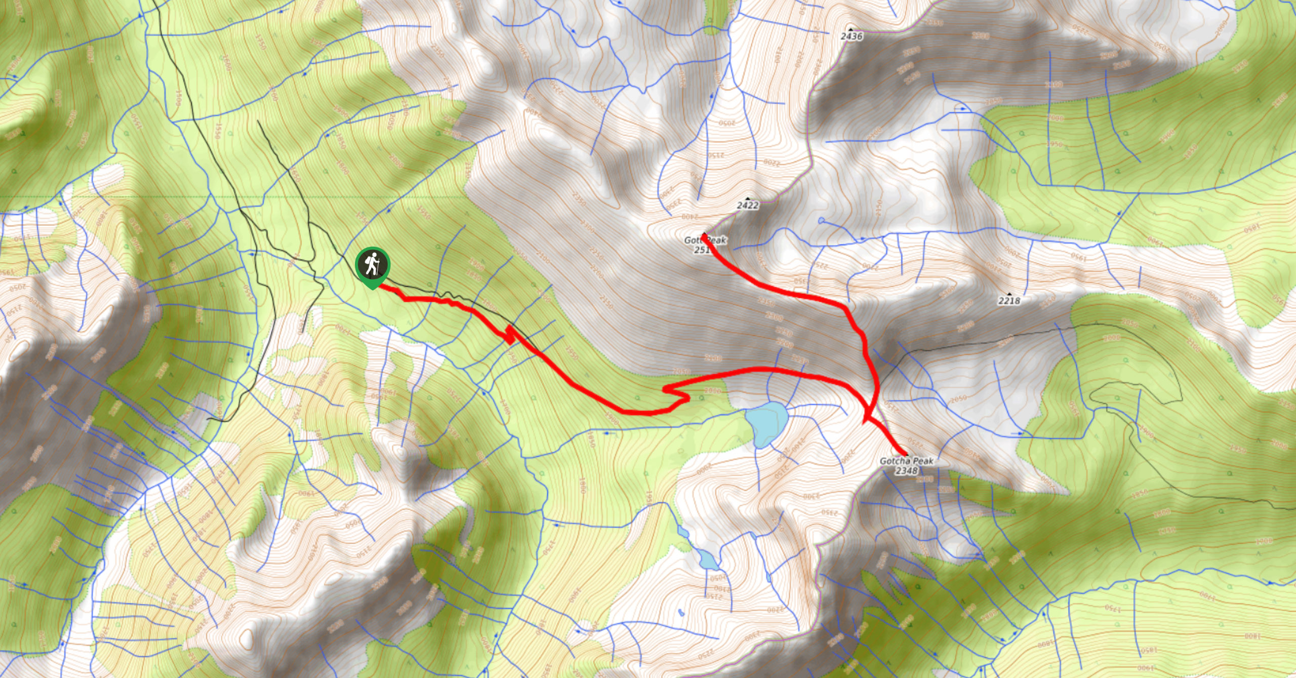
Blowdown Pass to Gott Peak
Blowdown Pass to Gott Peak is a difficult out-and-back trail that climbs uphill to summit Gotcha and Gott Peaks. Along…
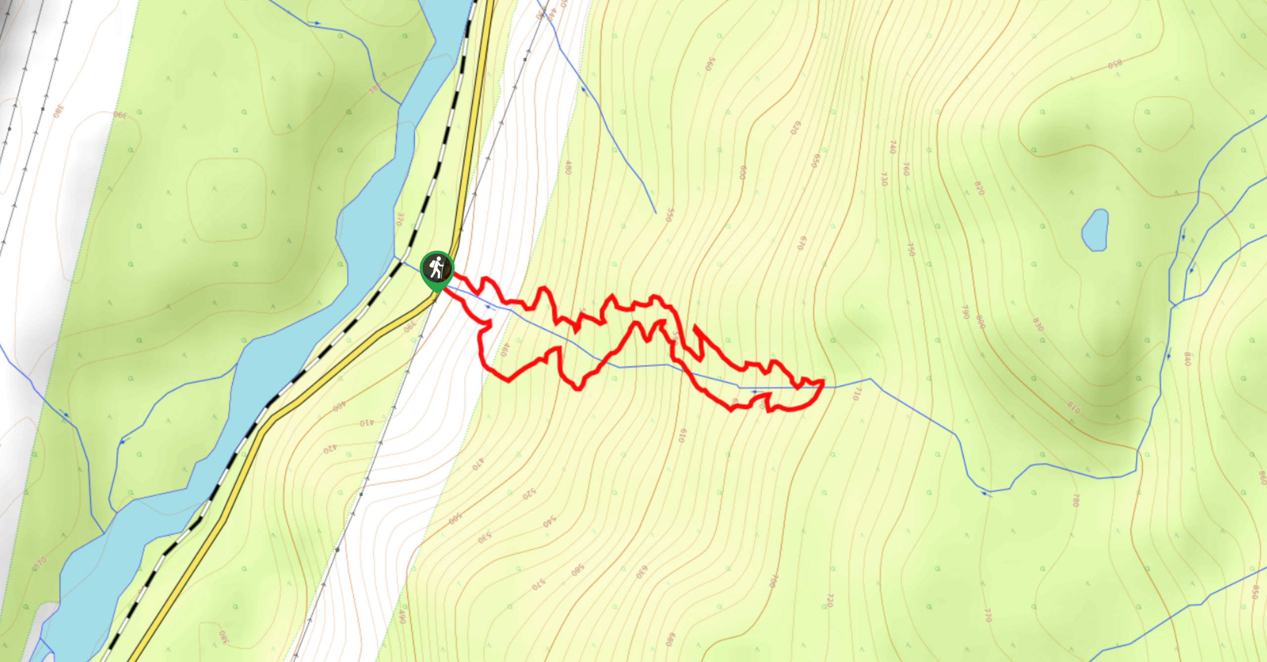
Cool Creek Canyon Hike
The Cool Creek Canyon Hike is a 1.3mi loop route near Pemberton that features spectacular mountain views and…
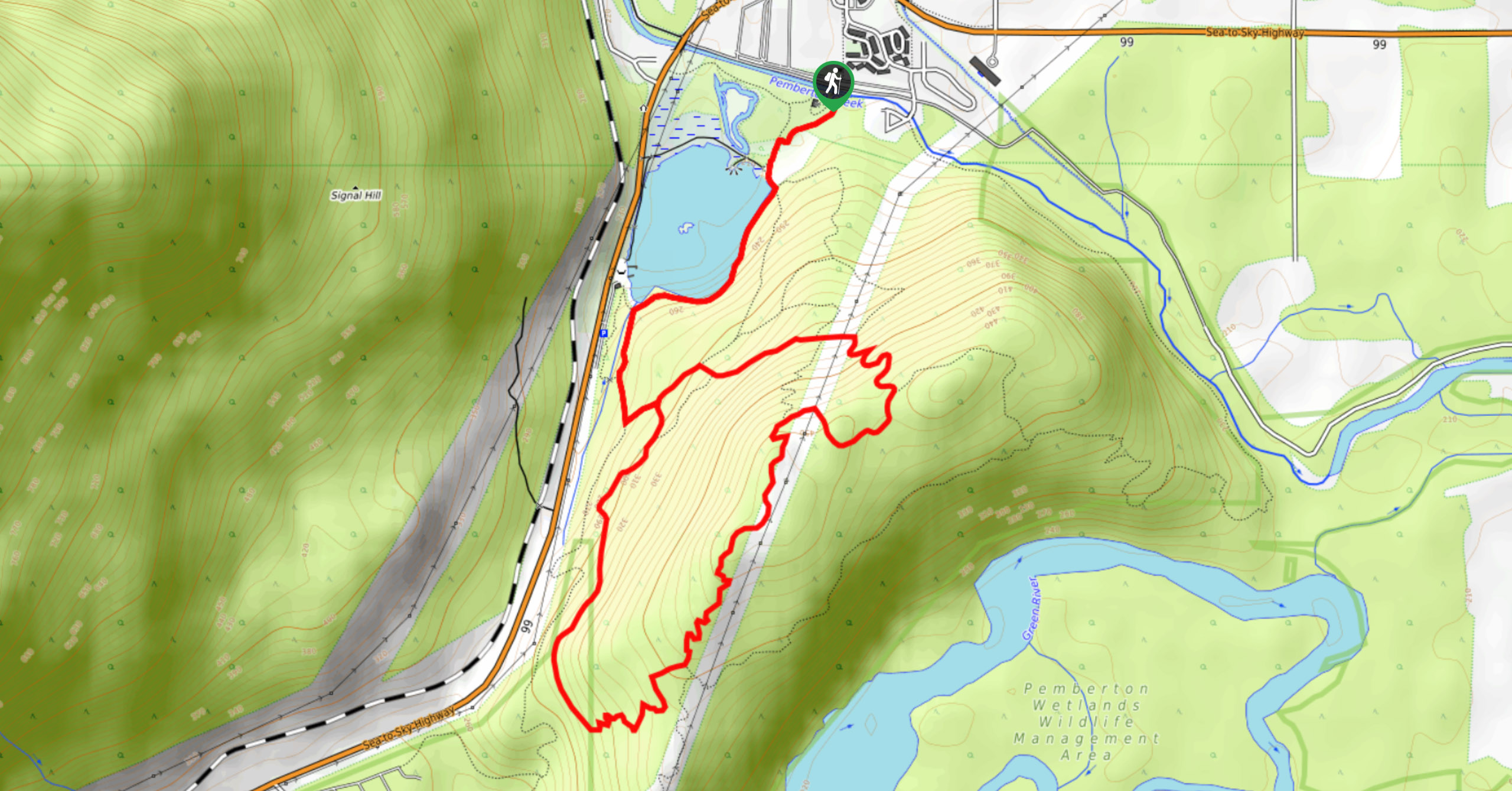
One Mile Lake Trail
Hiking around One Mile Lake will take you on a 4.3mi trek through the woodlands south of Pemberton.…
Comments