The Great Ridge and Win Hill hike
View Photos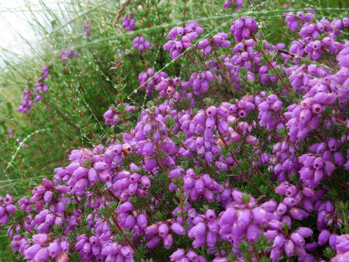
The Great Ridge and Win Hill hike
Difficulty Rating:
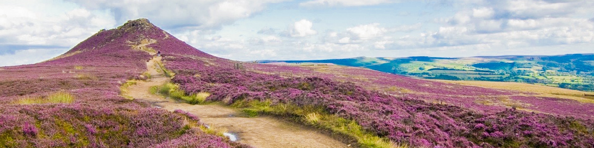
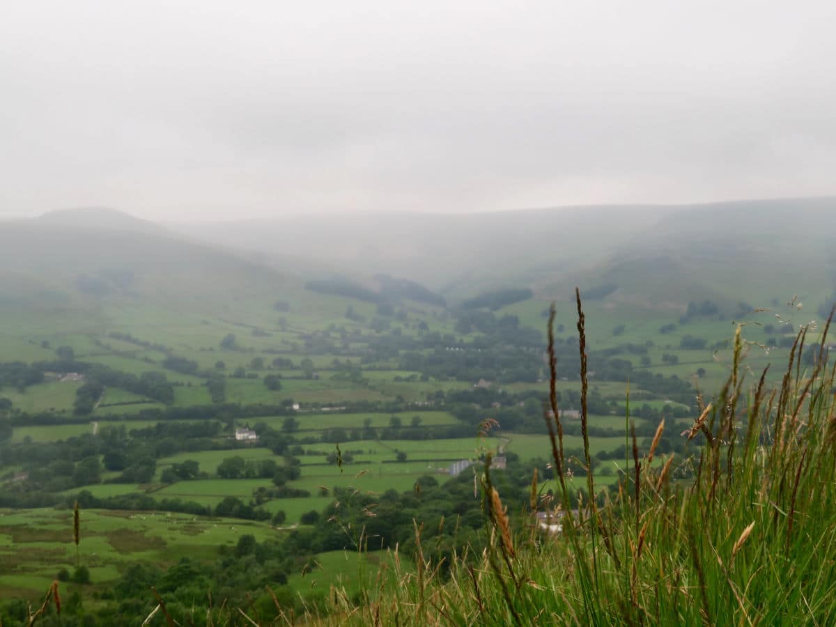
The Great Ridge is arguably the most walked ridge line in England, connecting the summits of Lose Hill (1562ft) and Mam Tor (1696ft) whilst dividing the grit stone Dark Peak to the North and the limestone dales to the South. With the addition of Win Hill it makes for a spectacular and challenging Peak District hiking adventure.
Getting there
You’ll start in Hope Village. It is on the A1687 between Castleton and Hathersage. The Hope Car Park is roughly across the street from the Grasshopper Cafe. It is requested you don't park outside The Old Hall Pub or the Cheshire Cheese Inn.

About
| When to do | All Year |
| Backcountry Campsites | Yes. Fieldhead Campsite Edale |
| Toilets | In Hope Village and Edale Village |
| Family friendly | No |
| Route Signage | Average |
| Crowd Levels | Moderate |
| Route Type | Circuit |
The Great Ridge and Win Hill
Elevation Graph
Weather
Route Description for The Great Ridge and Win Hill
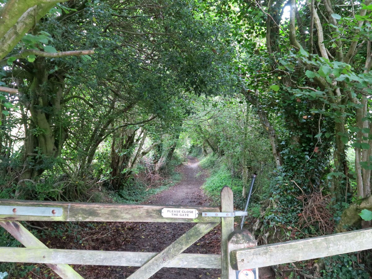
To get to the Great Ridge and Win Hill trailhead, walk down Edale Road. Turn immediately left onto Eccles Cl and follow for 328ft until you see a footpath to your right.
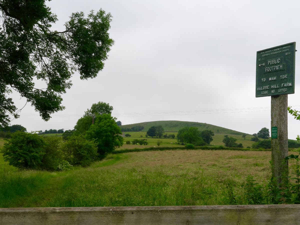
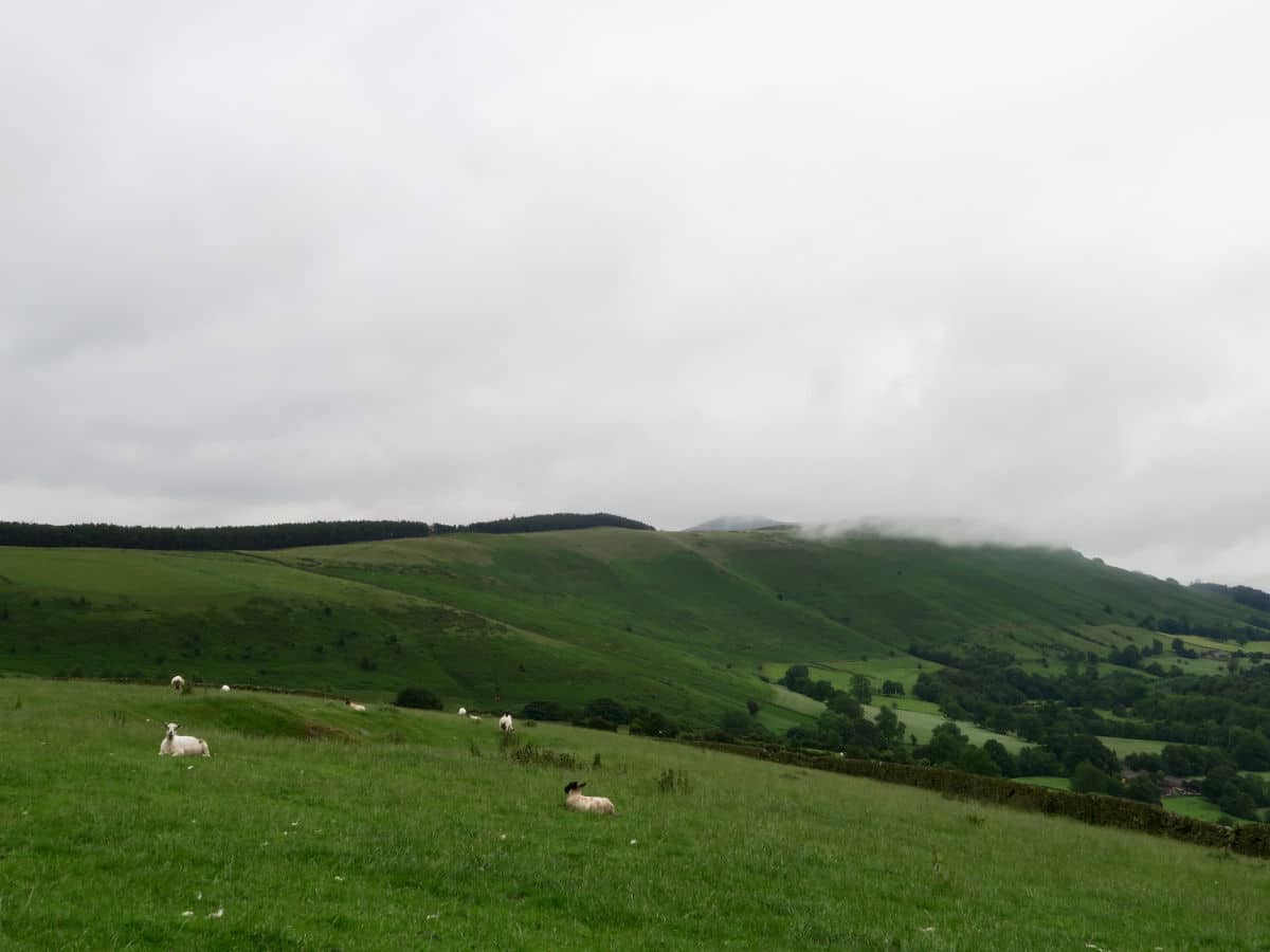
This footpath takes you towards Losehill Farm and gets progressively steeper. In wet weather the trod in these fields can get very muddy so come prepared with good footwear. Watch out for livestock with young in the springtime.
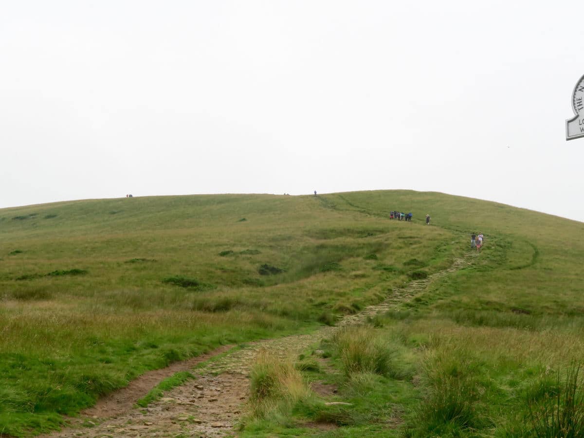
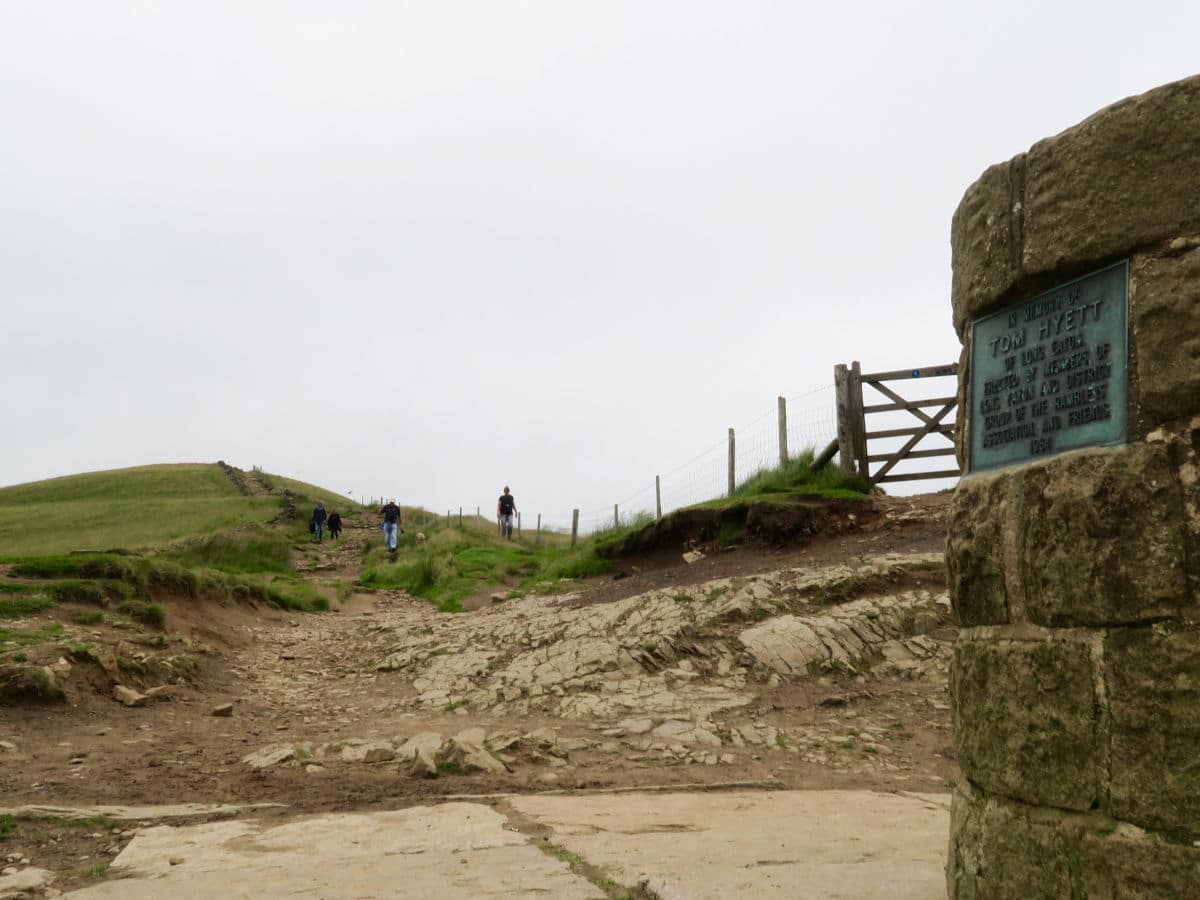
The footpath will eventually take you around the right hand side of Losehill farm and left over a stile just above it. The path will then swing right again and take you steeply up in the direction of the summit. Halfway to the top you will pass over another stile and the final section of paved footpath will be clear.
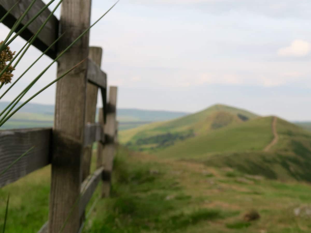
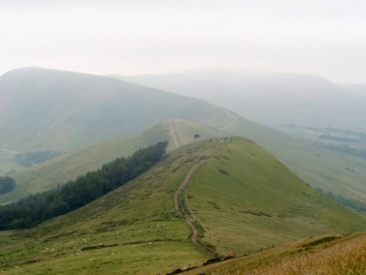
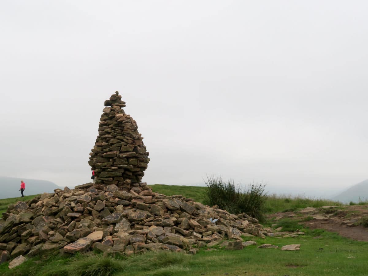
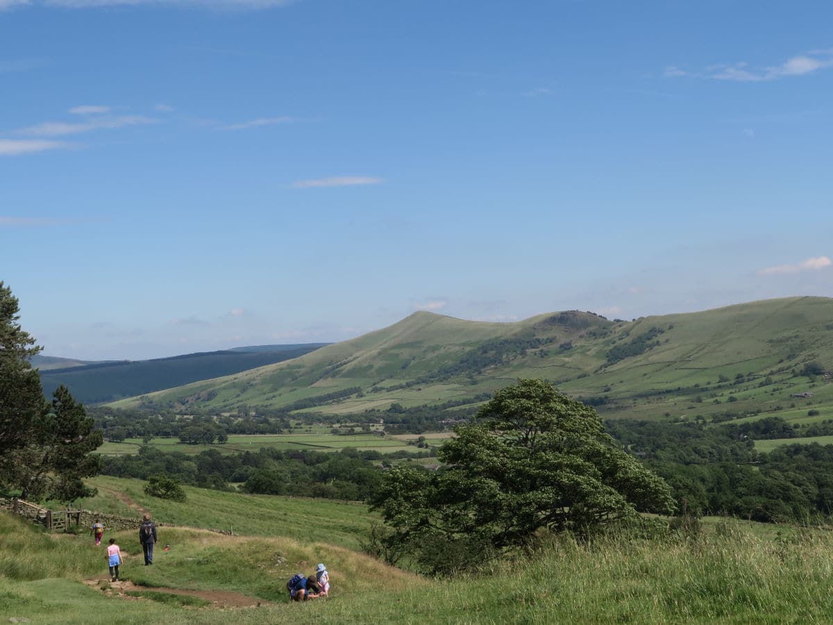
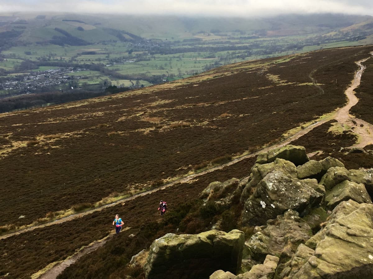
While you catch your breath at the top, you can enjoy the view of Win Hill (1516ft) to the East, the final climb of the hike.
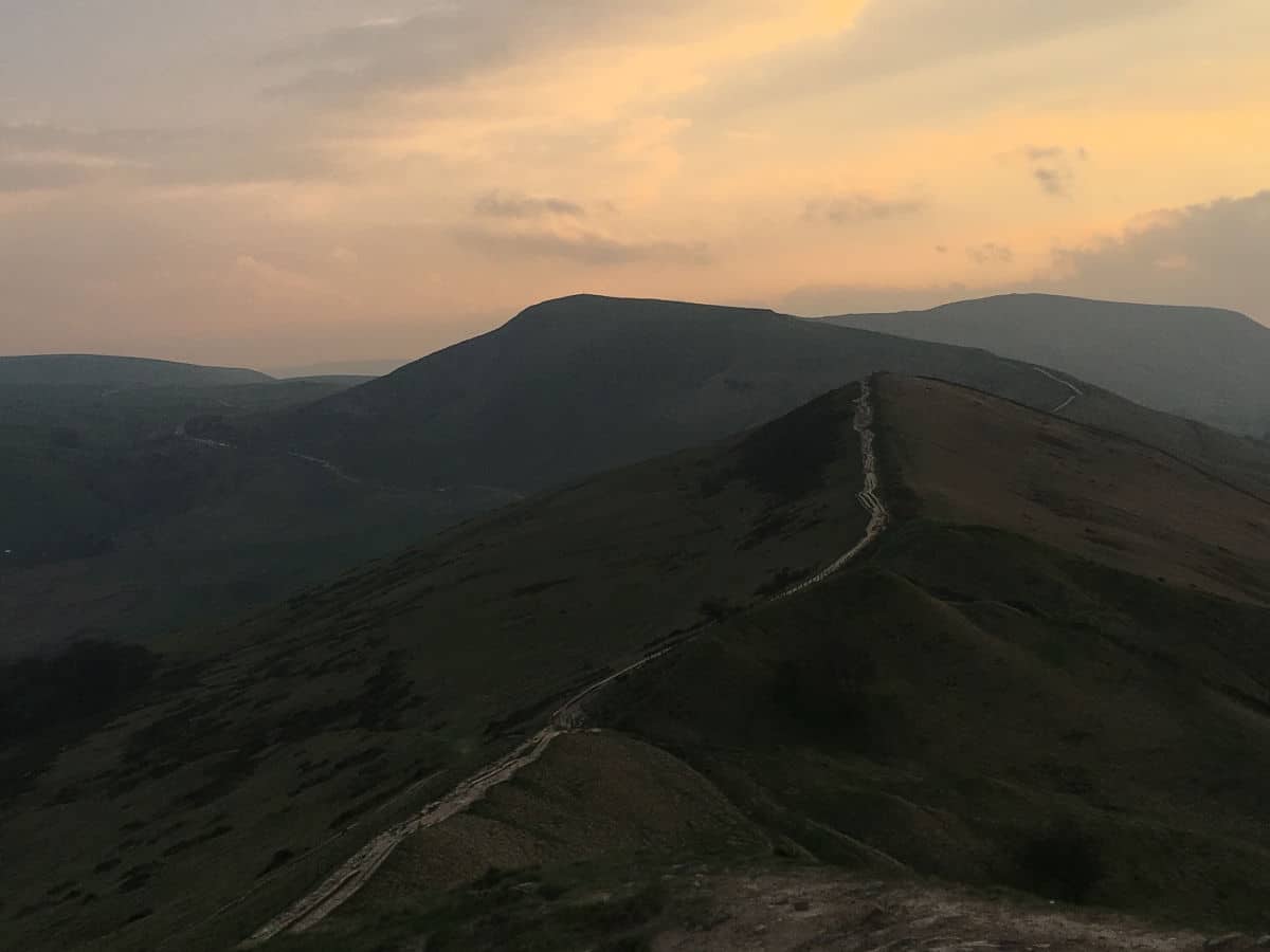
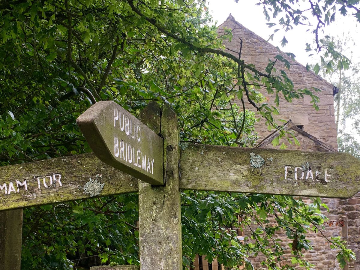
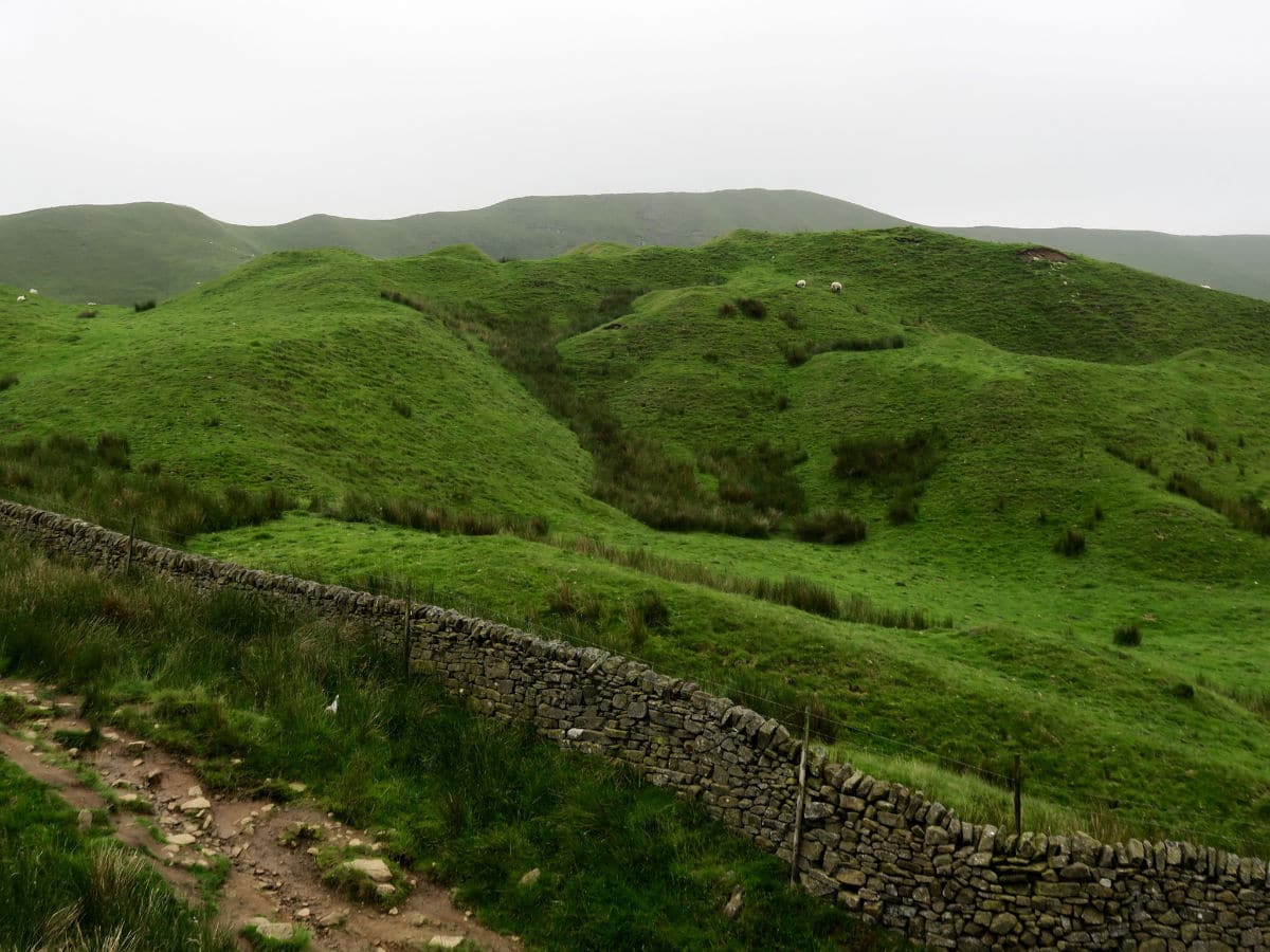
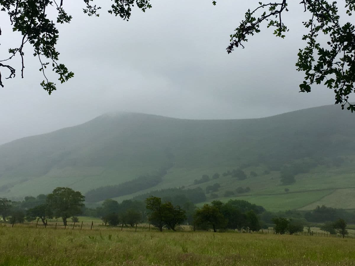
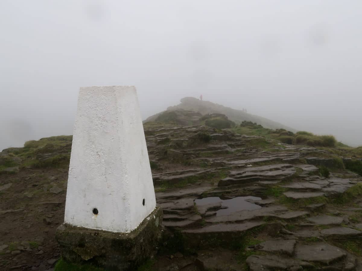
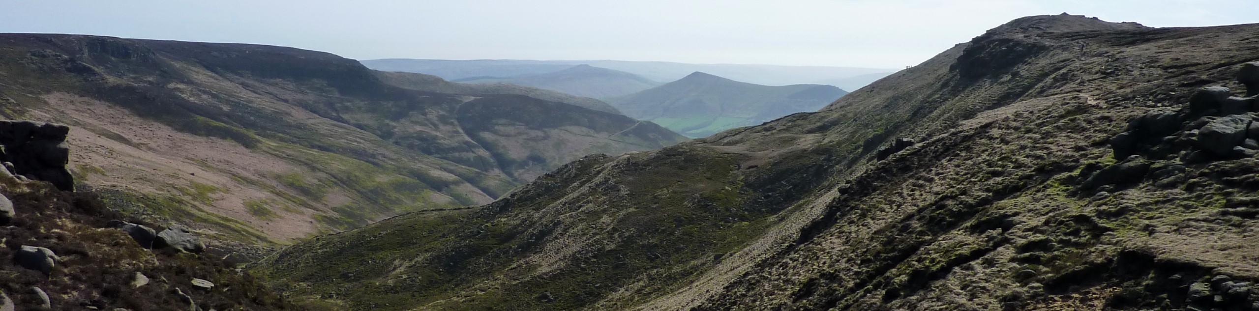
From the summit of Losehill, head west along the ridge towards Mam Tor. The path is well defined but the short descent from Back Tor is steep and badly eroded. Follow the path for approximately 2.0mi and onto the summit of Mam Tor. The wind can be strong up here so don’t linger too long if it is cold.
Descend off the summit of Mam Tor in the Direction of Rushup Edge, just before you reach the road take a sharp right down a smaller unpaved path. This will take you North to Greenlands farm and through a gate onto a small country lane. Follow the country lane back into Edale.
Once in Edale, follow the road (called Mary’s Lane by some) past the village hall and underneath the railway line. After 984ft you will pass a campsite. Take the footpath to the right immediately past the campsite and just before the church graveyard.
This footpath will take you across Grinsbrook Clough and to Ollerbooth farm. From here follow the signed and well defined bridleway to Nether Booth where you will join Edale Road for a short section before taking the first footpath on your left to Clough Farm.
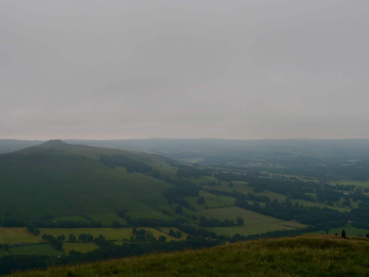
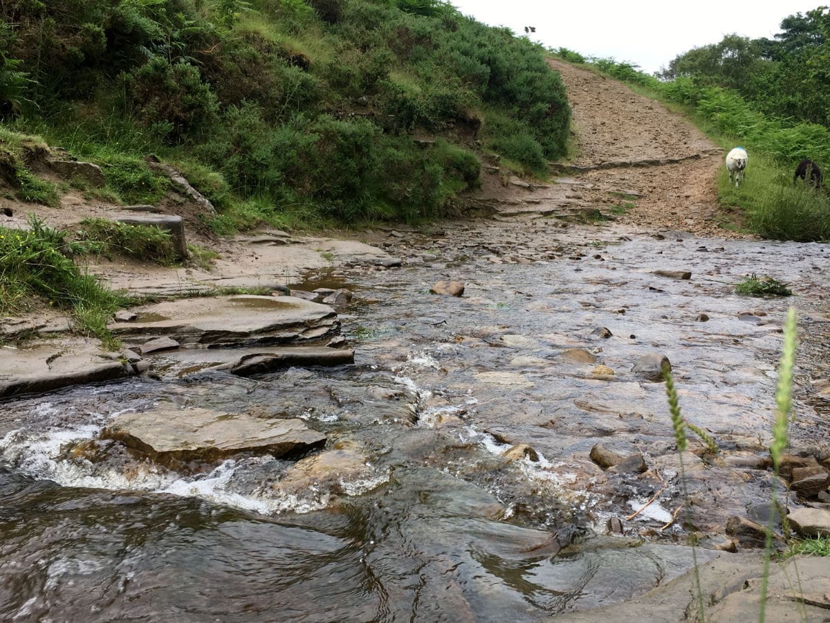
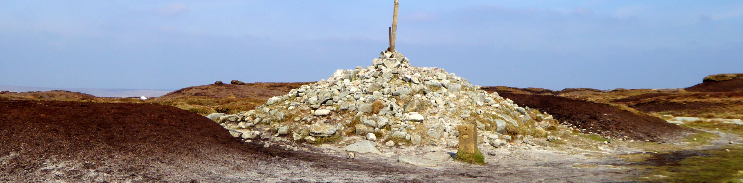
Stay right through Clough Farm. The track will start to gradually ascend before dropping down through coniferous woodland to the picturesque Jaggers Clough. Step across the river here and immediately start the ascent to Hope Cross, an ancient guide post and parish boundary marker. It is an excellent view point.
At Hope Cross take the right path junction and follow the wide path south east towards the rocky summit of Win Hill. This gradual ascent is longer than you think. On an overcast day when the summit is not in clear sight, take care to ensure you do not stray from this high track.
After taking in the views of Ladybower and Derwent Edge, drop down from the summit, going southwest. Pass through the small gate in the fence marked with a public footpath sign and continue on the descent. You will eventually come to a grassy track junction. You can either go continue straight ahead to Twitchell farm OR take the more obvious path leftwards to a country lane. Both routes will take you back to Hope Village, but the latter will go near the Station.
Want to find a less challenging walk in the Peak District? Check out the Stanage Edge Walk or the Dovedale Walk.
Insider Hints
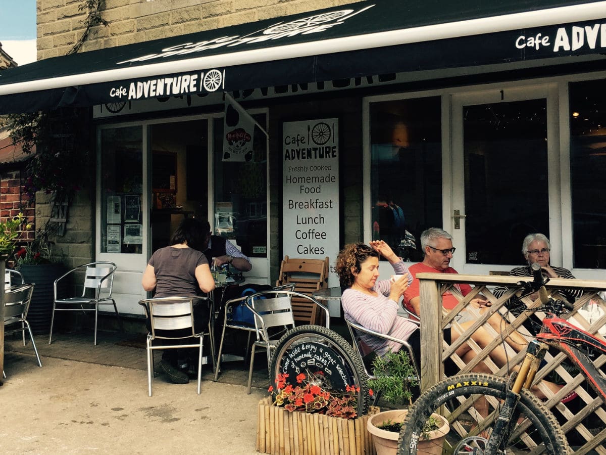
Refuel at Cafe Adventure near the trailhead. The local salted caramel ice-cream is incredible!
Look out for various farmstead honesty boxes near the trails offering range eggs and homegrown goods.
You can also take the train to Hope Station from Sheffield or Manchester Piccadilly OR the 271/272 Sheffield - Castleton bus.
Stop by The Old Hall after your walk. The rustic village pub dates from 1508 and there is a delightful patio.

Similar hikes to the The Great Ridge and Win Hill hike

Three Edges Walk
The Three Edges Walk is a challenging circuit in Derbyshire that will take you along three escarpments that offer some…
Bleaklow Head via Torside Clough
The Bleaklow Head via Torside Clough walk is a tough but rewarding route that will take you up a steep…
Jacobs Ladder and Edale Circular Walk
Walking the Jacobs Ladder and Edale Circular is a fun, if exhausting experience that will take you to some of…
kprice95 3 years ago
Betty 3 years ago
If you are going to take in the views and stop for lunch (the ramblers inn recommended in Edale) it’s going to take you minimum 7 hours. I left the car at 1030 and returned at 1900 ( £6 in coins needed, only takes coins). Lovely walk though and the views at the end at win hill are worth it. There’s a very steep start and finish but other that that it’s a good nice slog. Only places to refuel are hope at the beginning and Edale about half way round.
toastrian 3 years ago
wtf, only registered for the gps download, up the spout !
sochun 3 years ago
Tough but beautiful trail to run through, did the entire thing and it was great, the Roman road section was great. Not exactly the most physically demanding trails I've done but it's certainly up there.
sochun 3 years ago
Tough but beautiful trail to run through, did the entire thing and it was great, the Roman road section was great. Not exactly the most physically demanding trails I've done but it's certainly up there. I got there by the northern service from Sheffield. It's good to note I'm an experienced trail runner from Hong Kong and I've done the oxfam trail runner in 19 hours.
sochun 3 years ago
Tough but beautiful trail to run through, did the entire thing and it was great, the day before I went it was raining cats and dogs so there were bits where it's extea muddy and slid a bit on the down hill, the Roman road section was great. Not exactly the most physically demanding trails I've done but it's certainly up there. I got there by the northern service from Sheffield. It's good to note I'm an experienced trail runner from Hong Kong and I've done the oxfam trail runner in 19 hours.
sochun 3 years ago
Really tough but beautiful trail to run through, did the entire thing and it was great, the day before I went it was raining cats and dogs so there were bits where it's extea muddy and slid a bit on the down hill, the Roman road section was great. Not exactly the most physically demanding trails I've done but it's certainly up there. I got there by the northern service from Sheffield. It's good to note I'm an experienced trail runner from Hong Kong and I've done the oxfam trail runner in 19 hours.
sochun 3 years ago
Really tough but beautiful trail to run through, did the entire thing and it was great, the day before I went it was raining cats and dogs so there were bits where it's extea muddy and slid a bit on the down hill, the Roman road section was great. Not exactly the most physically demanding trails I've done but it's certainly up there. I got there by the northern service from Sheffield
Wilford96 4 years ago
Started and finished in Hope car park, was 14 miles total and took us 5 hours. The hardest part was actually the steep descent from win hill. Bit of advice is take some change for parking as it’s coin only and no app available. Also can recommend the Old hall hotel for food or a drink afterwards!
its_all_Greek 4 years ago
I did this starting from Edale as i was stopping the night there to do Kinder the next day, this allowed for me to have lunch at one of the cafe's in Hope before starting the assent up losehill which was more challenging on legs that had already completed the winhill assent, I had the luck of the weather so some spectacular views which i stopped to admire several times. If you do the walk starting in Hope and decide to lunch in Edale i recommend diverting to the the Nags head rather than the Ramblers Inn which you pass on the walk.