Bleaklow Head via Torside Clough
View Photos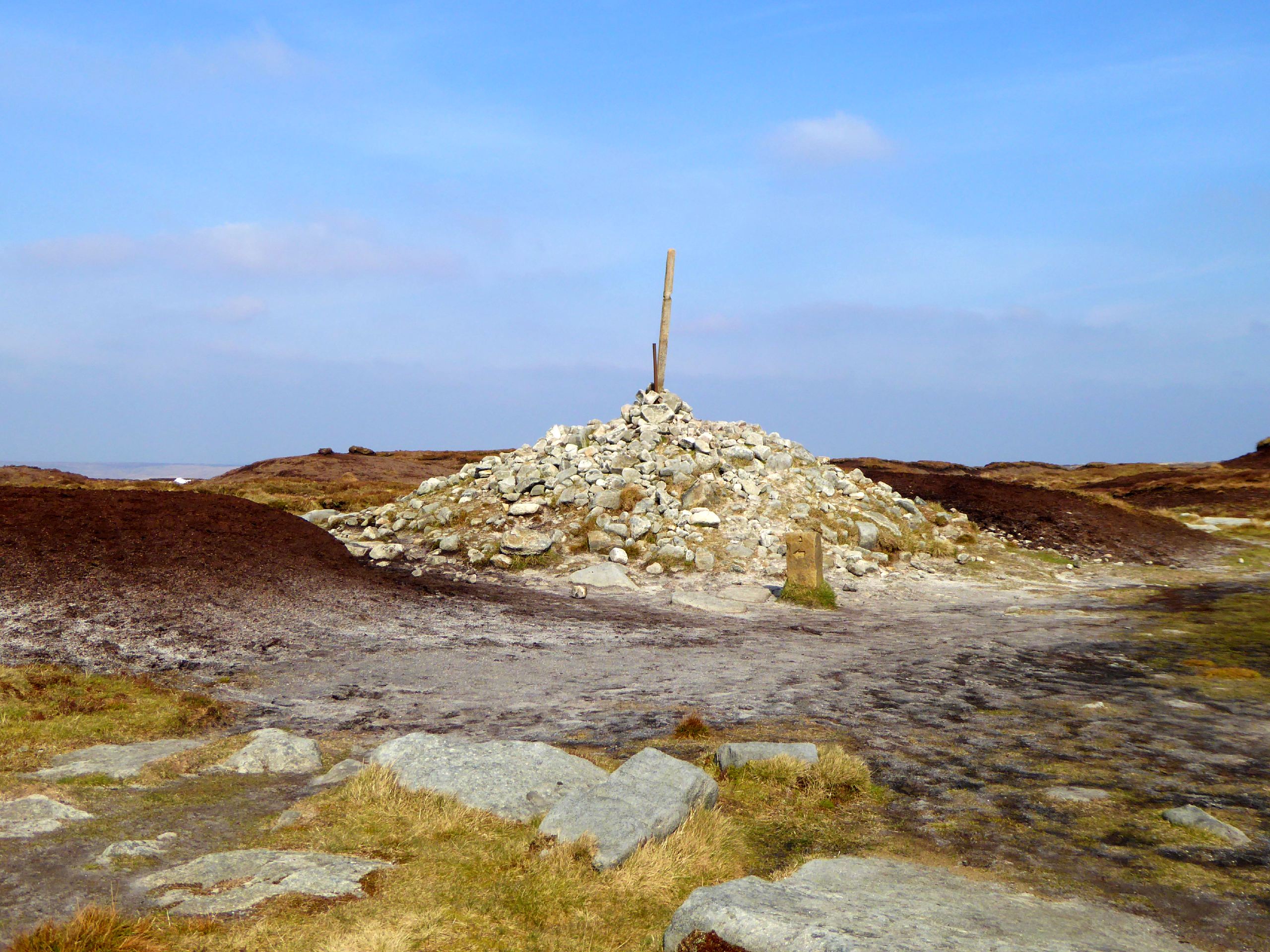
Bleaklow Head via Torside Clough
Difficulty Rating:
The Bleaklow Head via Torside Clough walk is a tough but rewarding route that will take you up a steep hill with scenic views that sweep across the valley below. Walkers will also need to use their route finding skills to traverse the moorland terrain in search of the memorial crash site of a B29 Superfortress that went down in the area in 1948. This route is physically demanding, but the beautiful views and sense of personal satisfaction at having completed the trek are well worth the effort.
Getting there
To reach the Bleaklow Head via Torside Clough trailhead from Glossop, drive north on Norfolk Street and after 4.0mi you will find the car park on the right.

About
| When to do | April-October |
| Backcountry Campsites | No |
| Pets allowed | No |
| Family friendly | No |
| Route Signage | Poor |
| Crowd Levels | Moderate |
| Route Type | Out and back |
Bleaklow Head via Torside Clough
Elevation Graph
Weather
Bleaklow Head via Torside Clough Trail Description
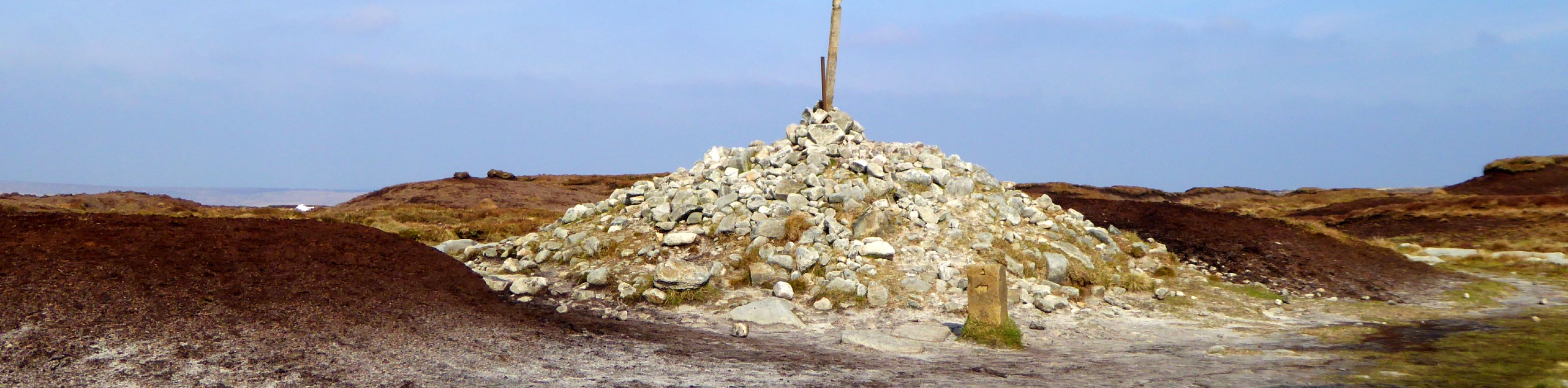
The walk to Bleaklow Head via Torside Clough is a challenging adventure that will require a bit of route finding skills, but don’t let that deter you from exploring this vast expanse of moorland terrain within the Peak District. The trail sets out from the car park at the edge of the Torside Reservoir and climbs up the steep hillside along the flowing waters of Torside Clough. After reaching the summit of Bleaklow Head and enjoying the views that stretch out over the surrounding moor and the scenic valley below, continue along the path to the south as it cuts across the moor and climbs uphill to the site of the B29 Superfortress crash site. After exploring the memorial area and pausing for a quick rest, retrace your steps across the moor to return to the car park at the edge of the reservoir.
Similar hikes to the Bleaklow Head via Torside Clough hike

Valehouse Reservoir Circular
The Valehouse Reservoir Circular is a 3.1mi lollipop trail near Glossop that travels around the edge of the…

Three Edges Walk
The Three Edges Walk is a challenging circuit in Derbyshire that will take you along three escarpments that offer some…

Edale Rocky Ridges Walk
The Edale Rocky Ridges Walk is just that - an adventurous walk along a rugged ridgeline. While out on the…
Comments