
Monsal Trail
View Photos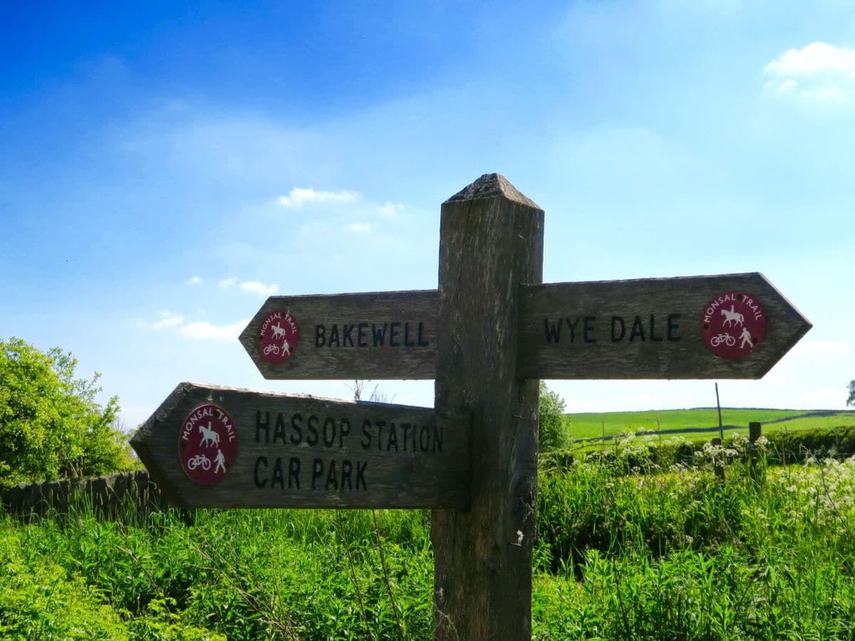
Monsal Trail
Difficulty Rating:
The Monsal Trail is a renowned cycling and walking route that follows a section of the old Manchester – London railway built in 1863. It is 8.5mi in length, stretching from Buxton to Bakewell, but this hike is a select section of that.
Getting there
To start the Monsal Trail, from Bakewell, turn off the A6 onto Baslow Road. Cross the River Wye and take an immediate right onto Coombs Road (a narrow country lane). Follow to the end where you can park by the trailhead.

About
| When to do | All Year |
| Backcountry Campsites | Yes. Mandale Campsite OR Greenhills Holiday Park |
| Toilets | At Hassop AND the Old Bakewell Station (on route) |
| Family friendly | Yes |
| Route Signage | Average |
| Crowd Levels | High |
| Route Type | Out and back |
Monsal Trail
Elevation Graph
Weather
Monsal Trail Route Description
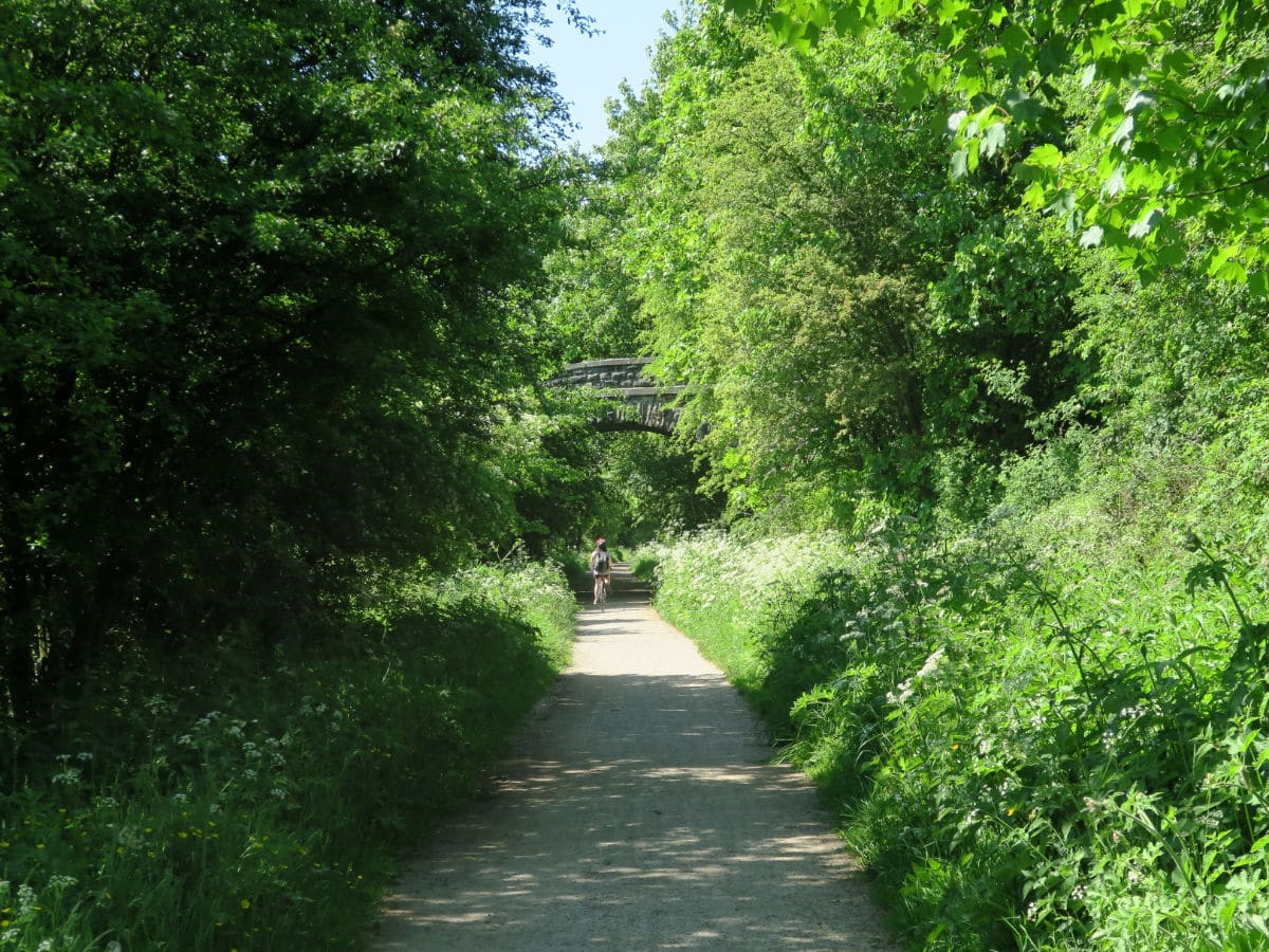
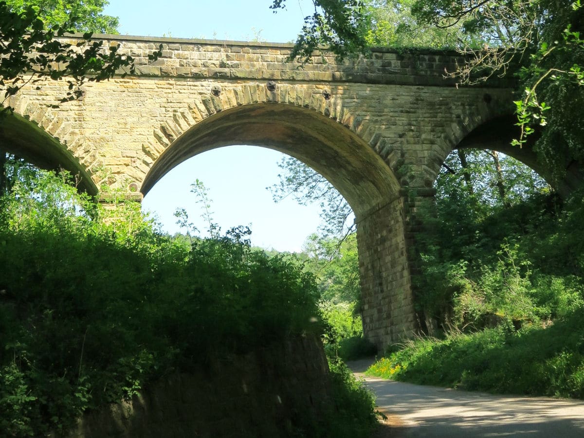
To avoid tourist crowds, we recommend starting the Monsal Trail hike at the Monsal Trail End on the edge of Bakewell. From here you can view one of the original railway viaducts–which are tunnels running underneath the ground and have since been turned into walking, biking and horse riding paths. Each tunnel is about 1312ft long and lit during daylight hours
Just before the Coombs Viaduct, ascend a series of shorts steps or the cycle slipway to your left up onto the Monsal Trail. The route is flat and very well defined, making it suitable for pushchairs, wheelchairs and bicycles.
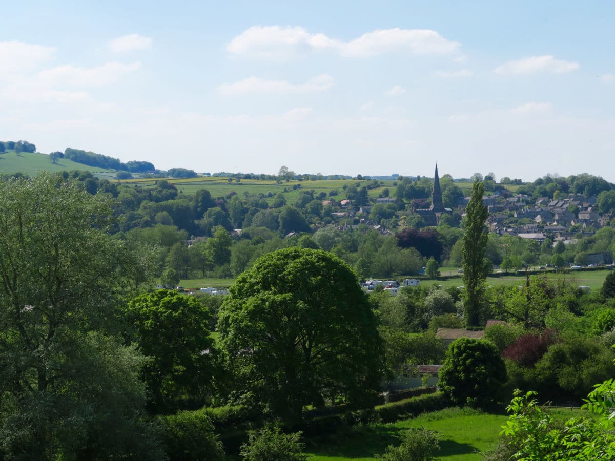
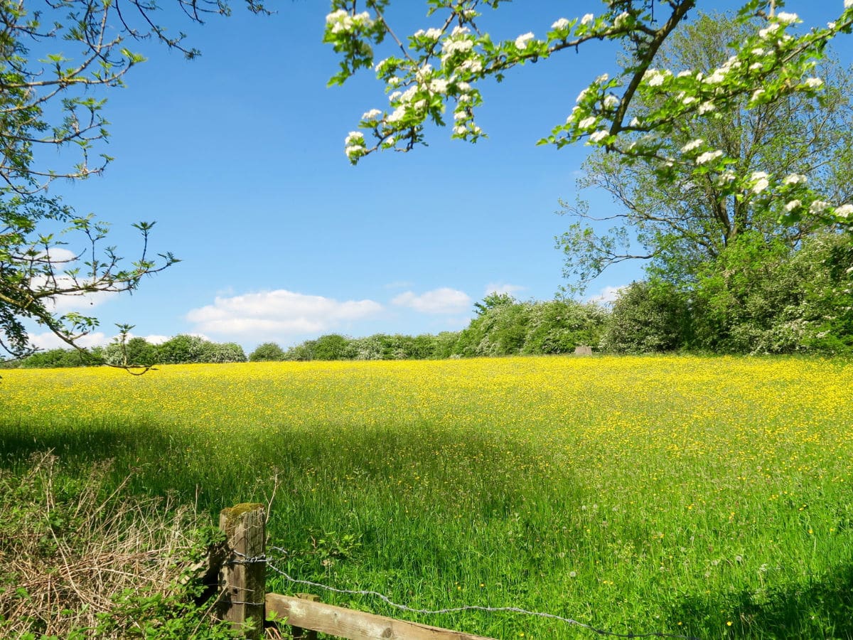
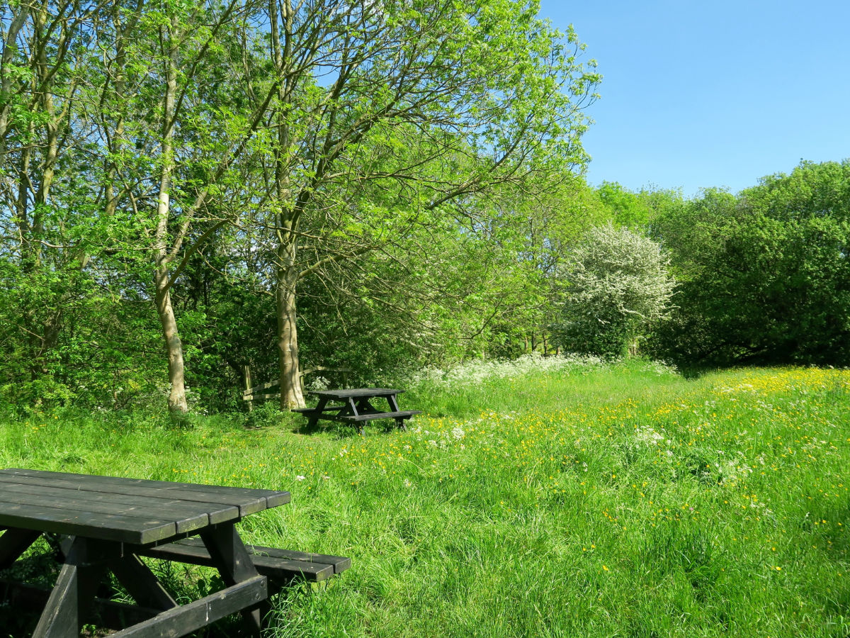
Take the trail at your own pace, enjoying stunning views over Water-cum-Jolly Dale, a picturesque dayle close to Cressbrook Mill. This dale laid undiscvoered since the closing of the railway line in 1968, but is now open to the public to enjoy. Follow the trail north for 1.9mi. There are beautiful views of Bakewell near the beginning to your left. As of 2020, the old station “Goods Shed” has been reopened as a free interpretation zone, offering fun for all ages.
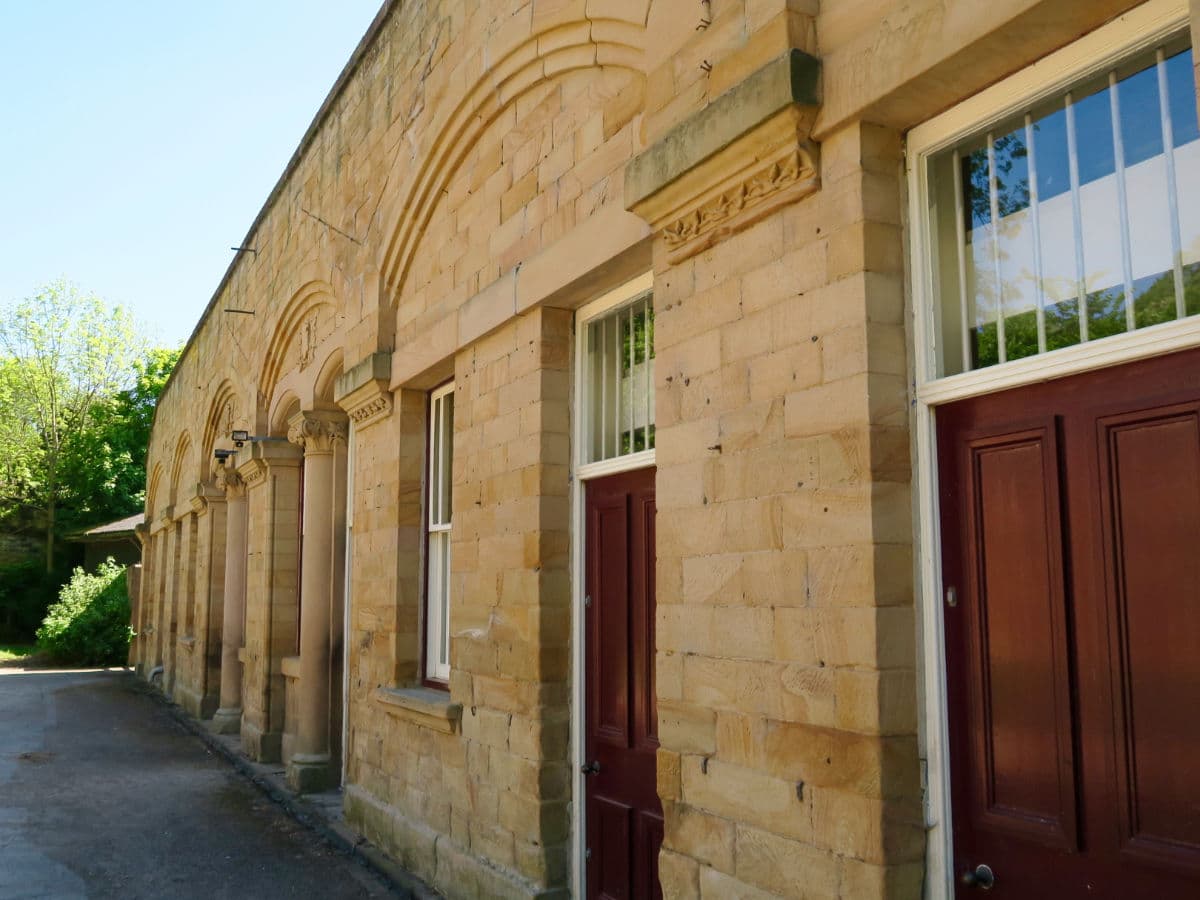
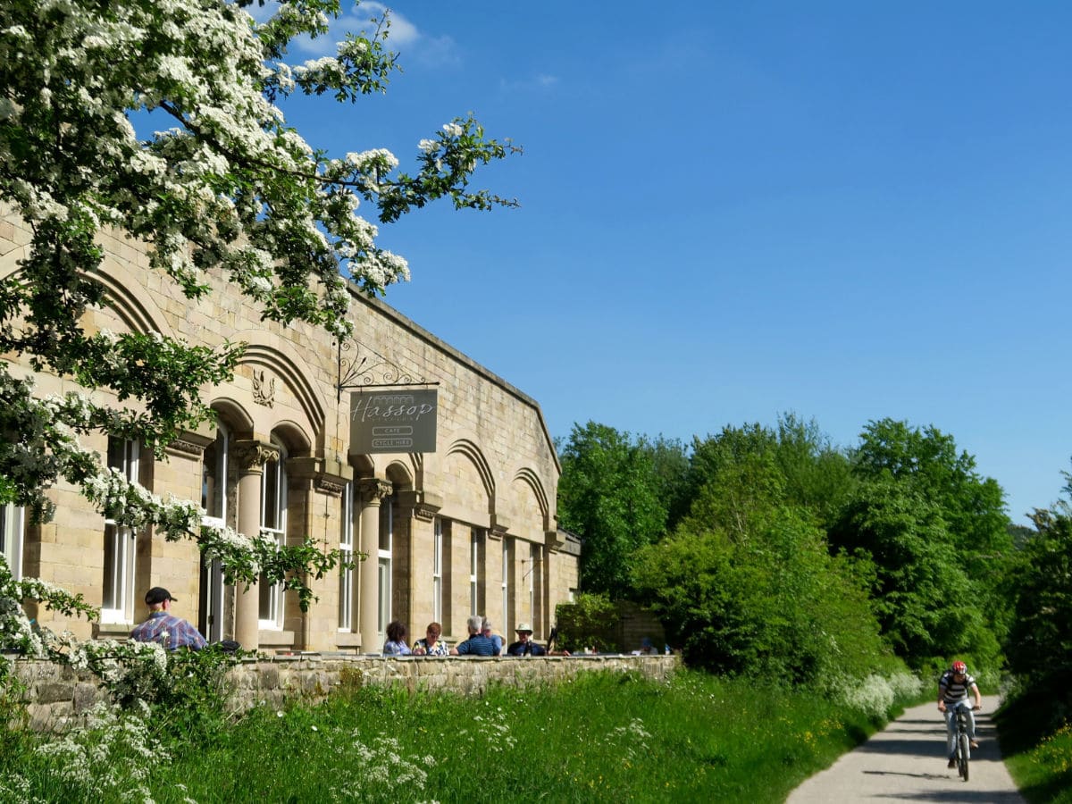
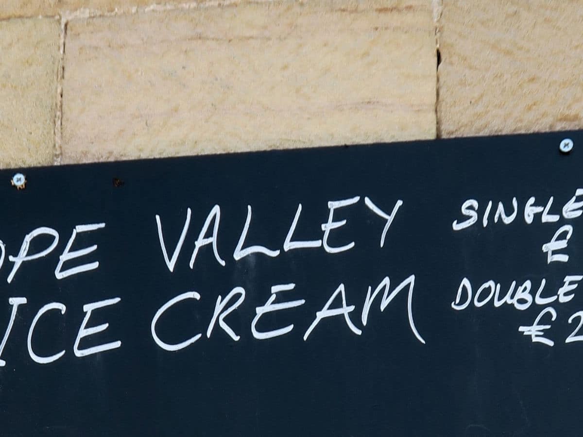
After a scenic amble, you will eventually reach the Hassop Station Cafe and Shop that sits just off the trail. There is a small playground for children here, as well as a bicycle hire.
You can take a break here (recommended) before turning around and following the trail back to the Monsal Trail End.
Hiking trail Highlights
Monsal Dale
This stunning valley located in Derbyshire, England is tucked away in the White Peak limestone area of the Peak District National Park and is a can’t miss highlight. Walk along the scenic Wye River, sit by a weir, or enjoy a languid picnic in the peaceful countryside.
Here you’ll find the famous Headstone viaduct, a headstone tunnel located at the southern end of the park; Fin Cop Hill, an Iron Age hill fort built for defense; and Hob’s House cave for exploring.
Frequently Asked Questions about the Monsal Trail
How long is the Monsal Trail?
The Monsal Trail is 9.0mi in its entirety from Blackwell Mill, in Chee Dale to Coombs Road, at Bakewell.
Is the Monsal Trail flat?
Yes, the Monsal Trail is relatively flat across the entire path and very family-friendly.
Where do you park for the Monsal Trail?
The most convenient parking is located in Bakewell, where there are several pay and display car parks in the town. For even easier access, there is a small car park next to the Trail at Bakewell Station (though this can fill up fast). Use postcode DE45 1BU to get the central Bakewell car parks.
How many tunnels are in the Monsal Trail?
There are four railway tunnels total: Headstone Tunnel, Cressbrook Tunnel, Litton Tunnel, Chee Tor Tunnel
Is the Monsal trail suitable for prams?
Yes, the trail is pram and wheelchair accessible. For easy access to the trail, there are ramps at Bakewell Station, Hassop Station, Great Longstone Station and Millers Dale Station.
Is the Monsal trail a loop?
While the Monsal trail itself is an out-and-back trail, there are options to connect your walk to other trails to make it a loop. You can combine the Monsal, Dale and Bakewell trails to create a 12.3mi loop that is relatively easy to complete.
Insider Hints
If you have very small children, consider starting the hike from Hassop Station instead. Although further from Bakewell, there are plenty of amenities near Hassop Station, and the trail is extremely easy to access.
Before you start, pick up some tasty signature Bakewell Puddings from the Old Original Bakewell Pudding Shop in the centre of the village.
You can extend the hike as far along the Monsal trail as you wish. Monsal Dale from Monsal Head is a worthwhile viewpoint, although it can get very crowded on weekends and holidays.

Similar hikes to the Monsal Trail hike
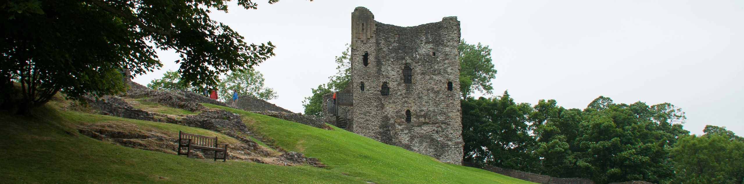
Peveril Castle Walk
At 0.4mi overall length, the Peveril Castle Walk isn’t so much a long-distance journey as it is a…
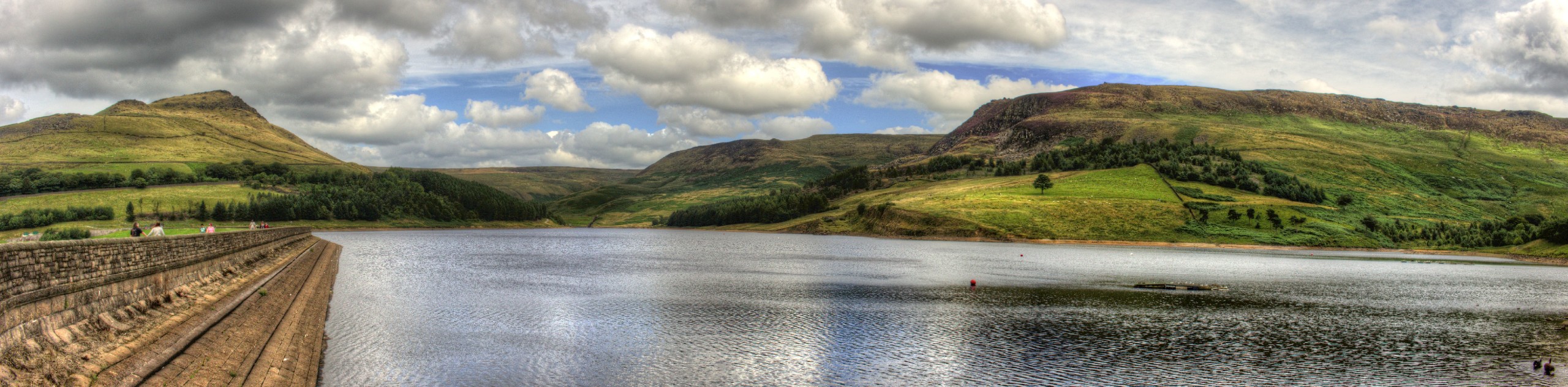
Dovestone Reservoir Dam Walk
The Dovestone Reservoir Dam Walk is a quick 4.7km journey in near Greenfield that will take you around the edge…
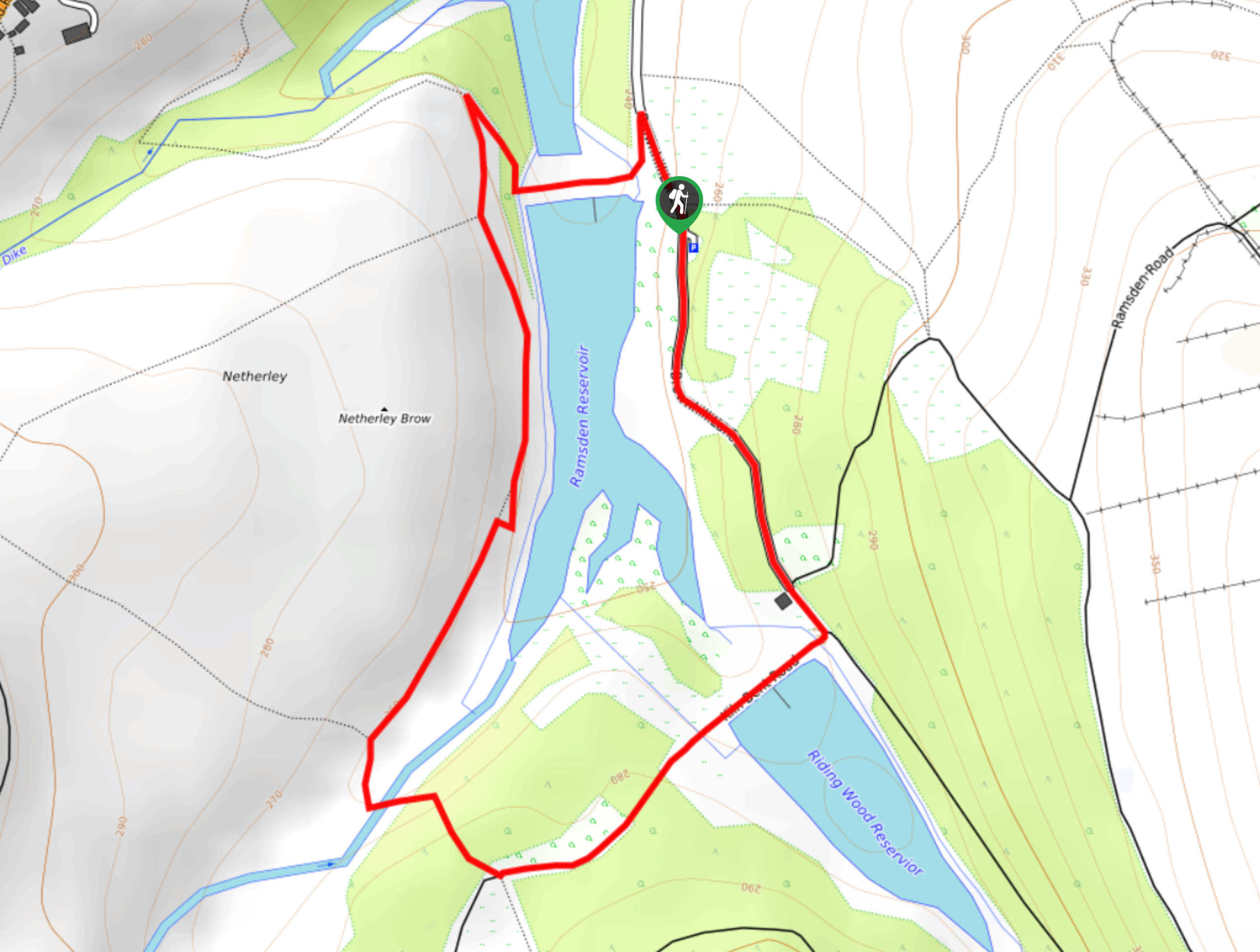
Ramsden Reservoir Circular Walk
The Ramsden Reservoir Circular Walk is a pleasant walking route along the edge of the Peak District near Holmfirth that…
Levin 4 years ago
It was far from my daily type of sightings! Simply relaxing!
unicorn_lady 4 years ago
This is a trail you would want your partner to walk with. It was very romantic to see the small stone bridges and picnic areas along the way. Make sure to stop by the lovely Hassop cafe for a good cup of coffee and a treat.
Avamichelle82 4 years ago
Just an hour hike but filled with rich architecture in sight. How the original viaduct has been preserved astounds me. It is old but still beautiful.
climbing_ally21 4 years ago
It was a beautiful day for a walk. I do love the charming atmosphere of the trail.
Mr Dean 4 years ago
Monsal Trail was so easy. My family enjoyed our bonding. There are some tunnels and nice views along the way.
WanderLee 4 years ago
A beautiful green nature. So much to explore
Sarah Potts 4 years ago
Some amazing views and tunnels along the way. A truly lovely place to go.
Olivia H. 4 years ago
Aside from its amazing views, it's also an easy hike. Nice environment. Great place to explore.
Stephen L. 4 years ago
There is a small playground for children here, as well as bicycle hire. The trail is extremely easy to access. We love it so much!
Abu Sharif 4 years ago
It incredible, and the gentle breeze was relaxing.