Thor's Cave and The Manifold Valley hike
View Photos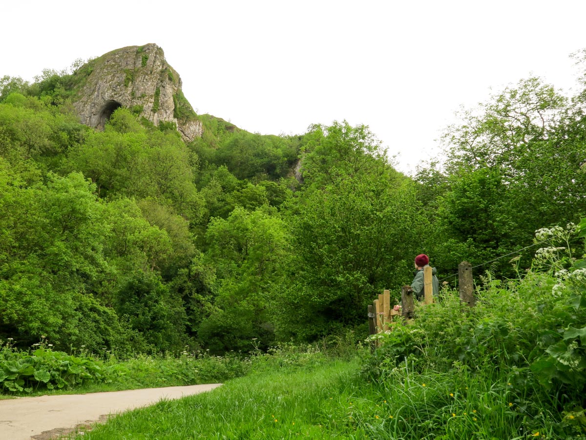

Thor's Cave and The Manifold Valley hike
Difficulty Rating:
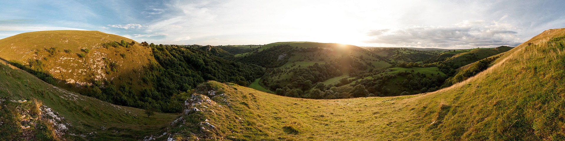
This hike takes you for a walk around the hidden Manifold valley from the sleepy village of Wetton. You’ll follow a subterranean river system and hike through one of the largest natural caverns in the National park.
Getting there
Take the A515 between Buxton and Ashbourne. There is a free car park with facilities just across the villages staggered junction.

About
| When to do | All Year |
| Backcountry Campsites | Yes. Big Hillsdale Farm OR Smith Fields campsites. |
| Toilets | At trailhead |
| Family friendly | No |
| Route Signage | Average |
| Crowd Levels | Low |
| Route Type | Circuit |
Thor's Cave and The Manifold Valley
Elevation Graph
Weather
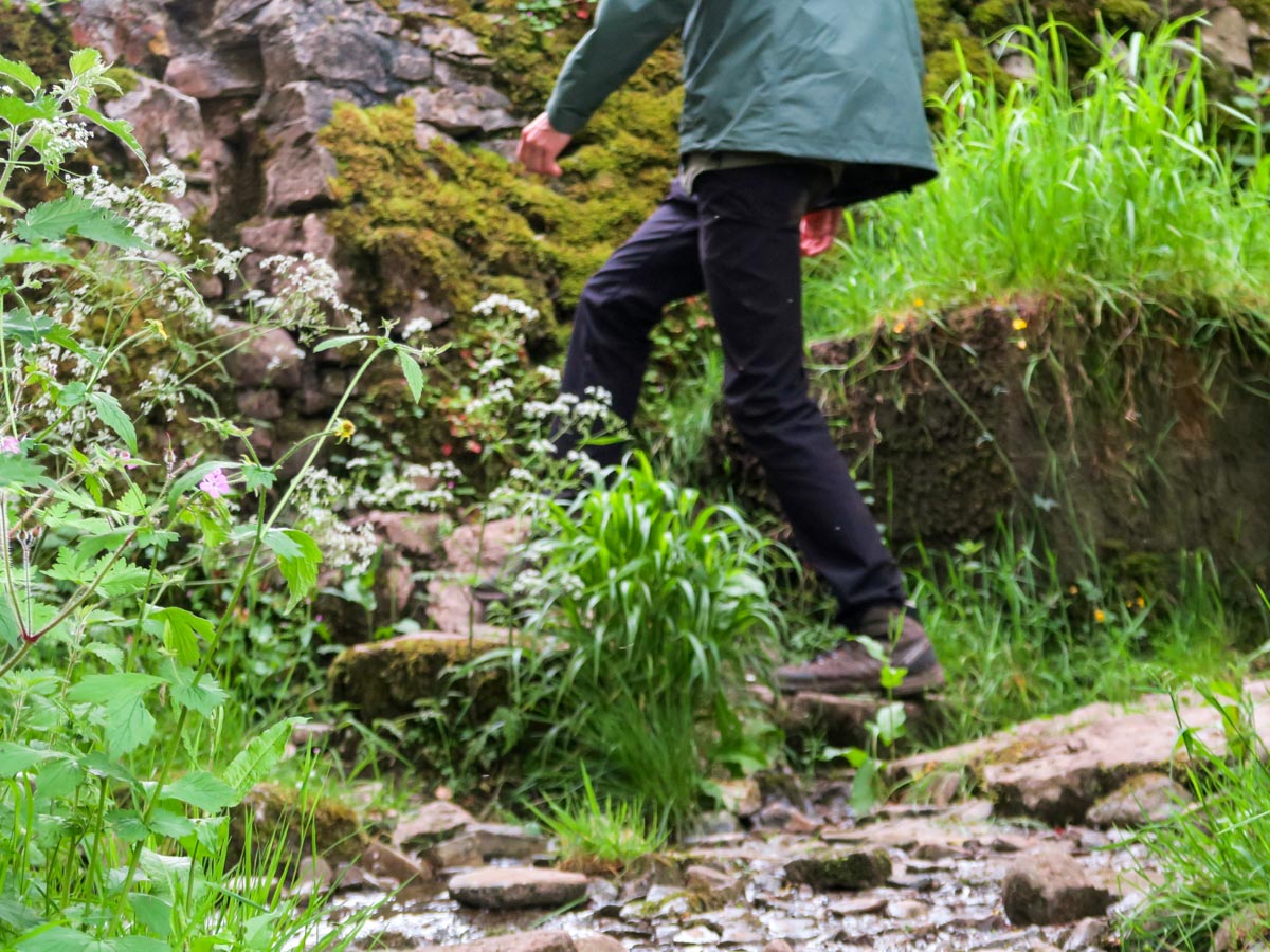
Route Description for Thor's Cave and The Manifold Valley
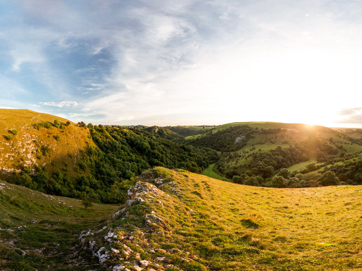
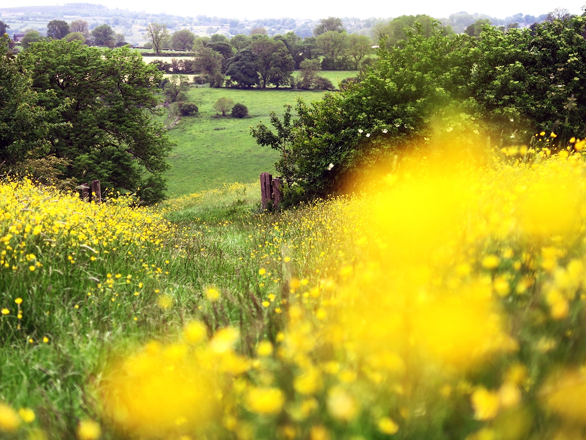
The hike starts from the car park in the little quiet village of Wetton. Follow the public footpath out of the village and towards Wetton Mill and the Manifold Valley – The River Manifold is subterranean and disappears underground for several miles at the Wetton Mill to reappear in Llam. Once out of Wetton village you will see a signposted farm track to Thor’s Cave that branches left.
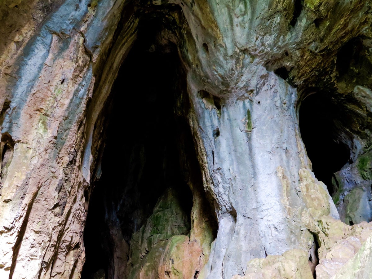
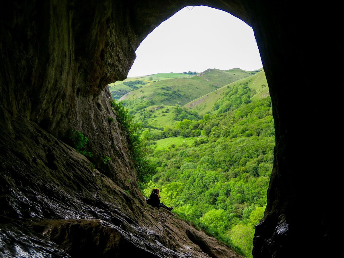
Follow this farm track for half a kilometre and then climb right over the steps of the stile and down a small dale. Over the second stile contour around the hillside towards the mouth of the Cave, a spectacular 60ft limestone opening.
After exploring the Cave, drop down the steps to your right and onto the Manifold Trail. Cross straight over the trail, across a stile, and up into Ladyside Wood following the trod to Grindon.
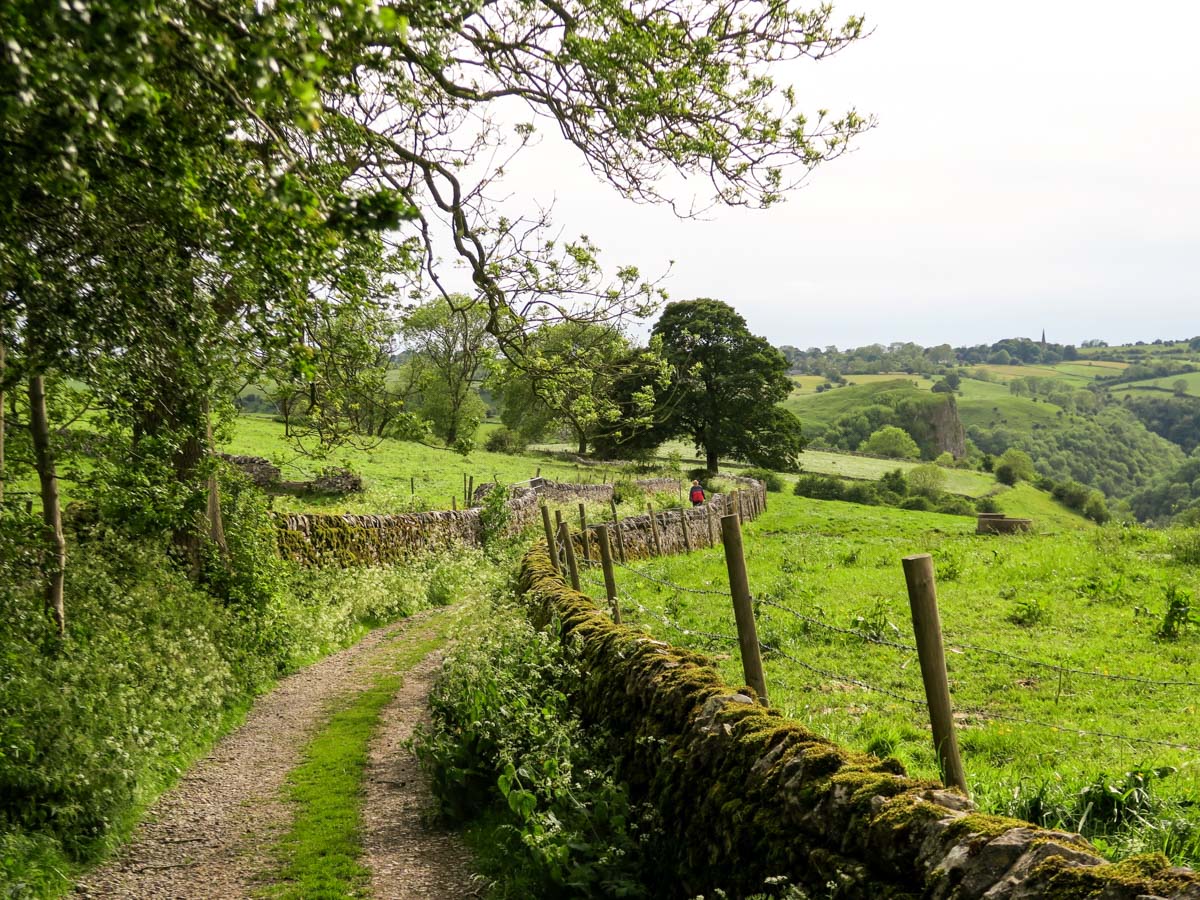
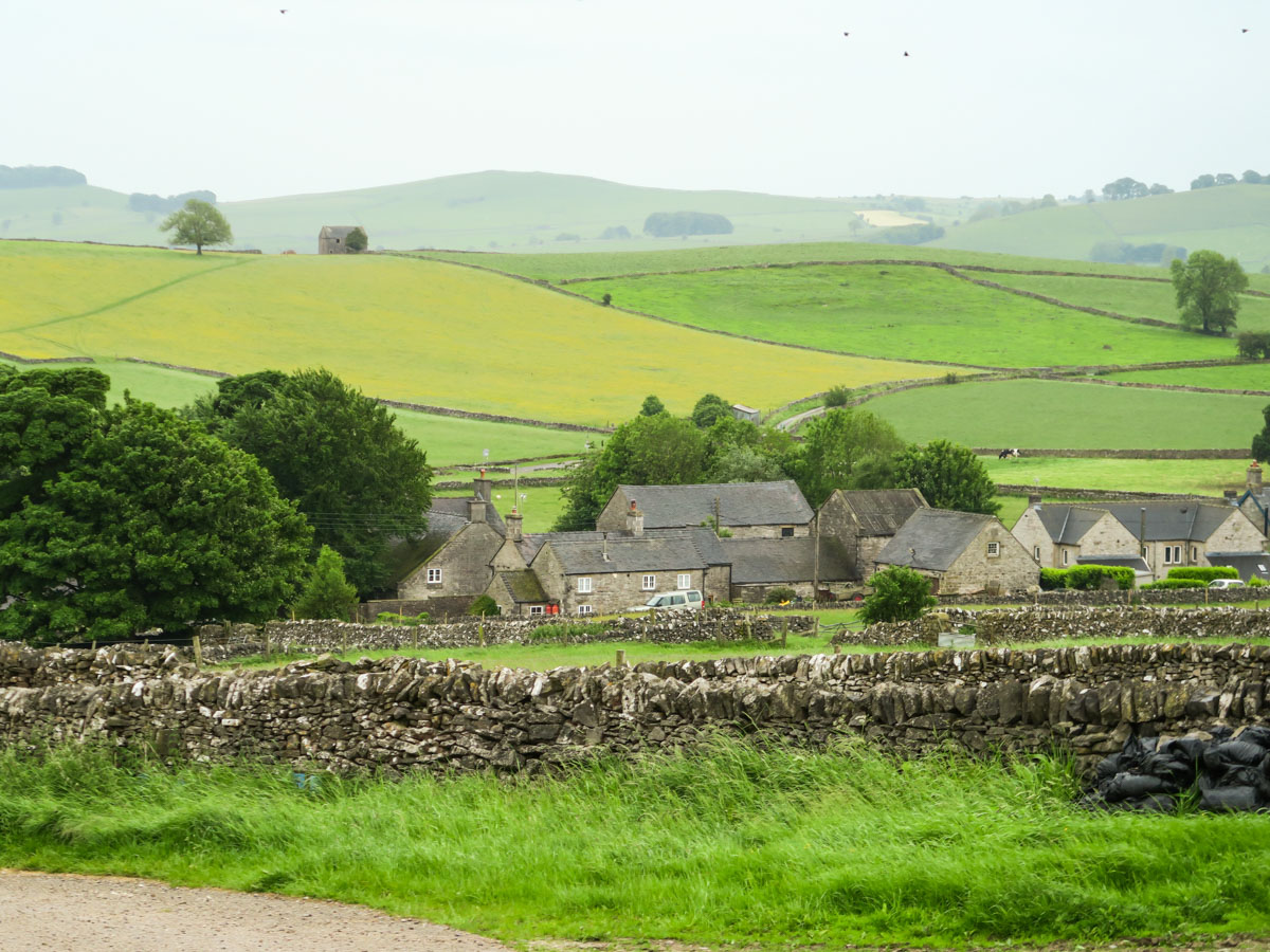
Aim for the church in Grindon where an adjacent laneway leads down towards Ossoms Farm, but before you reach the end of the laneway, and Ossom Farm, turn left onto a grassy bridleway and descend all the way down to the foot of Ossoms hill where you will meet a small stream.
Cross the stream and take a right, following Waterslacks, (the track parallel to the stream) all the way to Wetton Mill.
At Wetton Mill cross the stone bridge over the River Manifold. Follow the signed footpath through the farmyard and up the back of the Mill.
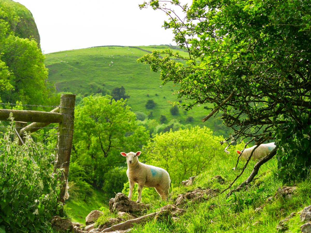
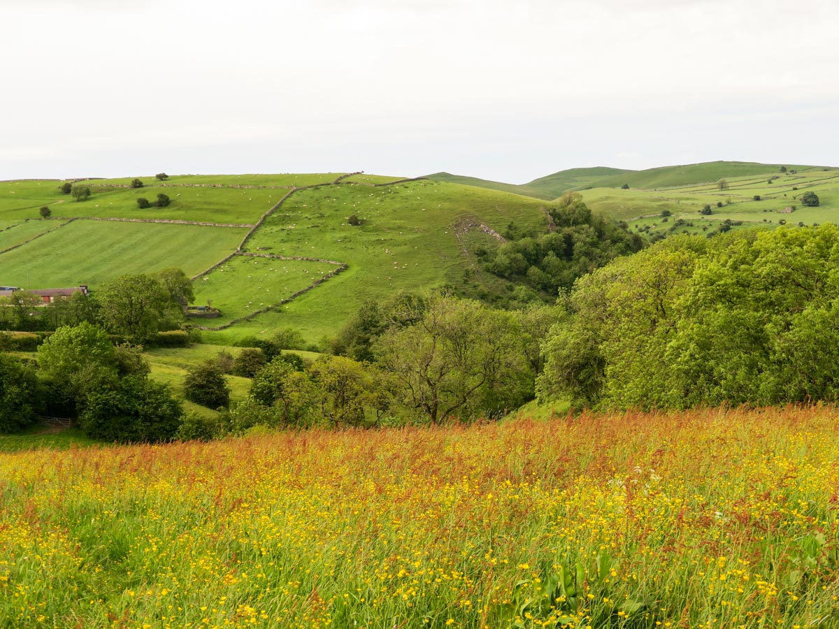
This path leads you into a narrow valley hidden between Sugarloaf and Wetton Hill. Follow the grassy path that goes around the left hand side of Wetton Hill.
Keep walking until you reach the tarmac lane leading to Manor House. Turn right here, climbing over the stile and across the brook. Follow the path up the back of Wetton Hill keeping the stone wall to your right. You do not summit the hill. After a short climb the grassy track will level off and lead you back down to the village of Wetton on an obvious path.
Insider Hints
Before you travel home, stop for a meal and a drink at the warm and friendly Royal Oak Inn. Be sure to ask the owner about the famous toe wrestling championship held here each summer!
Peckish on route? Stop at the National Trust Tea Rooms in Wetton Mill for an ice-cream or a cuppa before the final climb.
Don't forget to wear shoes with good grip as the limestone rock features can get slippery in wet weather.
You can take the bus to get here too. The 405 Leek- Wetton runs Monday to Friday. The 443 Ashbourne to Wetton Thursdays and Saturdays.
Have some spare time? Enjoy the outdoors after the hike in the comfortable and eco-friendly Mulino Glamping Pods.

Similar hikes to the Thor's Cave and The Manifold Valley hike

Valehouse Reservoir Circular
The Valehouse Reservoir Circular is a 3.1mi lollipop trail near Glossop that travels around the edge of the…

Three Edges Walk
The Three Edges Walk is a challenging circuit in Derbyshire that will take you along three escarpments that offer some…

Edale Rocky Ridges Walk
The Edale Rocky Ridges Walk is just that - an adventurous walk along a rugged ridgeline. While out on the…
callumwalsh14 2 years ago
Hike itself was very short around 1 hour up and 1 hour down - However if you decide to sit up at the top and admire the views, it is a nice day out. Would fully recommend, few routes nearby if you are someone looking for a more physical challenge.
PaulMcCafferty 3 years ago
Patrycja83 3 years ago
Nice, quite walk. Not difficult.
Anna 3 years ago
Lovely hike. Peaceful place. Highly recommend ;)
marleyarty 3 years ago
ljones1510 3 years ago
Really nice low ground circular route
Bruce8 3 years ago
really good walk , challenging , very muddy and slippy in places .
AnnaL 4 years ago
Super incredibly MUDDY!!!!!!!! This hike can only be done in the summer! You walk through fields and along the river and you are literally covered in mud! The view is incredible but definitely not worth doing in November.
polainm 4 years ago
Very very muddy! Amazing views though and epic weather in October...
polainm 4 years ago
Very very muddy!