Cairn Hill, The Cheviot, and Scald Hill Circular Walk
View Photos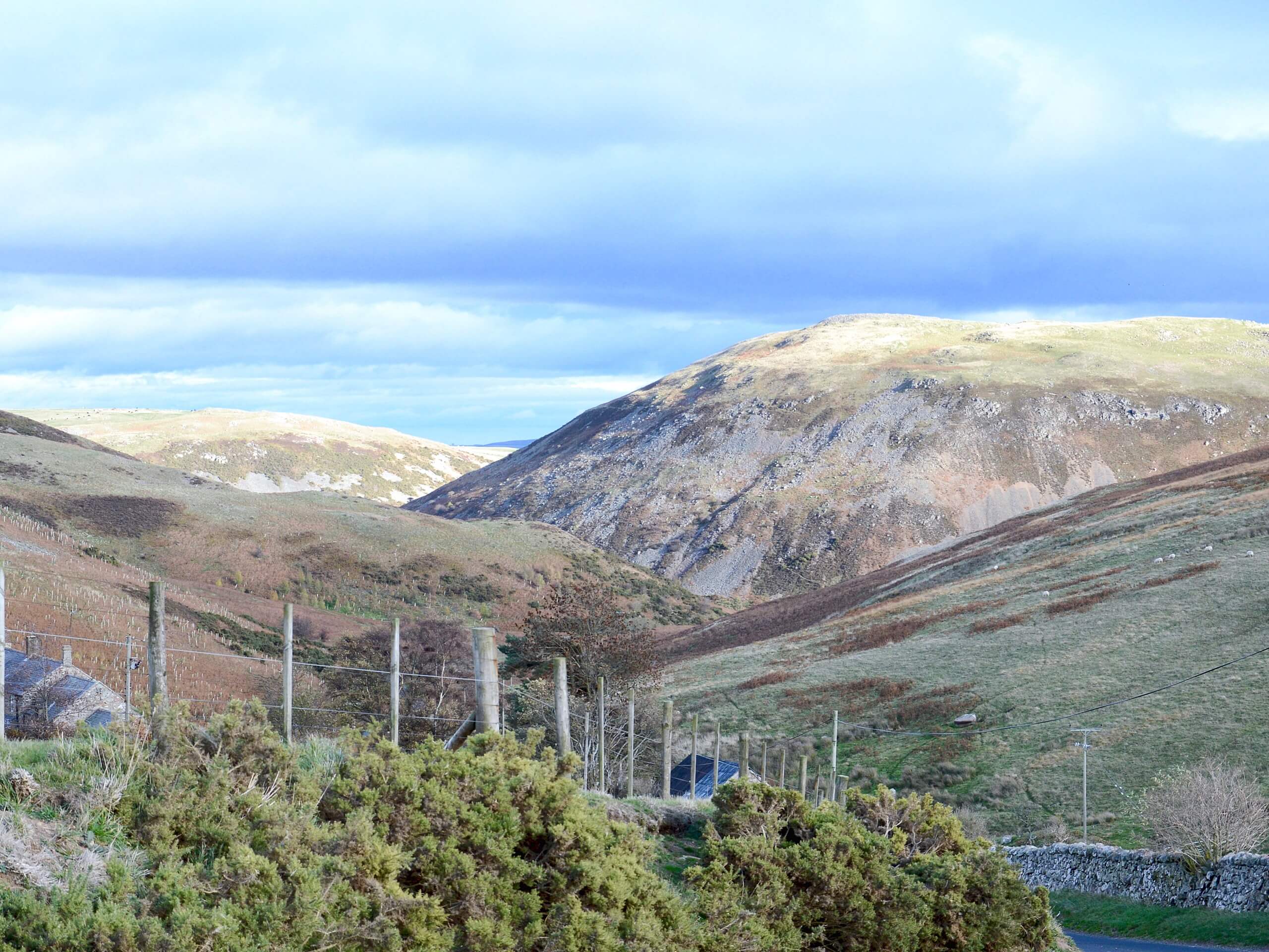
Cairn Hill, The Cheviot, and Scald Hill Circular Walk
Difficulty Rating:
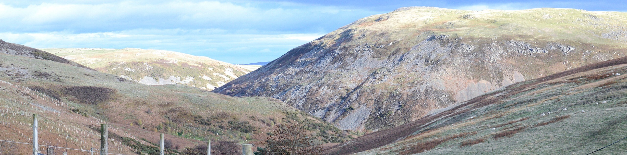
Walking the Cairn Hill, The Cheviot, and Scald Hill Circular is a fantastic, albeit challenging, adventure in Northumberland that will take you into the mountains for spectacular views along the England/Scotland border. While out on the trail, you will make your way uphill through a valley alongside harthope Burn, before looping around to traverse the summits of Cairn Hill, The Cheviot, and Scald Hill on the return leg. Make sure to wear proper walking boots that offer good support and are ideally waterproof for this rugged adventure.
Getting there
The trailhead for the Cairn Hill, The Cheviot, and Scald Hill Circular Walk can be found at the car park alongside Harthope Burn, just 0.5mi northeast of Langleeford.

About
| Backcountry Campground | No |
| When to do | May-October |
| Pets allowed | Yes |
| Family friendly | No |
| Route Signage | Average |
| Crowd Levels | Moderate |
| Route Type | Lollipop |
Cairn Hill, The Cheviot, and Scald Hill Circular Walk
Elevation Graph
Weather
Cairn Hill, The Cheviot, and Scald Hill Circular Walk Description
For those adventurers that are a bit more seasoned and are looking to experience the rugged terrain of the mountains, the Cairn Hill, The Cheviot, and Scald Hill Circular Walk is an exceptional adventure that will offer a good challenge and exceptional views of the surrounding Northumberland landscape.
Setting out from the car park, you will continue along the road to the southwest as it runs parallel to the banks of Harthope Burn and passes through some light tree cover before eventually narrowing into a footpath. Here, you will continue uphill through the valley alongside the stream to arrive at the summit of Cairn Hill.
Take some time to appreciate the views of Scotland to the west and England to the east, before following the trail in a northeastern direction. Here, you will traverse the summits of The Cheviot and Scald Hill while taking in some more breathtaking views of the surrounding mountains, before descending the slope to the east. After meeting back up with the road, you will follow it into the car park where you started your walk.
Similar hikes to the Cairn Hill, The Cheviot, and Scald Hill Circular Walk hike

Hadrian’s Wall: Steel Rigg to Lanercost
Walking Hadrian’s Wall: Steel Rigg to lanercost is a fantastic - albeit lengthy - adventure that will lead you across…

Hadrian’s Wall: Wallsend to Heddon on the Wall
Hadrian’s Wall: Wallsend to Heddon on the Wall is the first section of the long distance Hadrian’s Wall Path walking…
Devil’s Water Circular Walk
The Devil’s Water Circular Walk is a laidback excursion in Northumberland that will take you through the countryside surrounding a…
Comments