Cleveland Way: Sutton Bank to Osmotherley
View Photos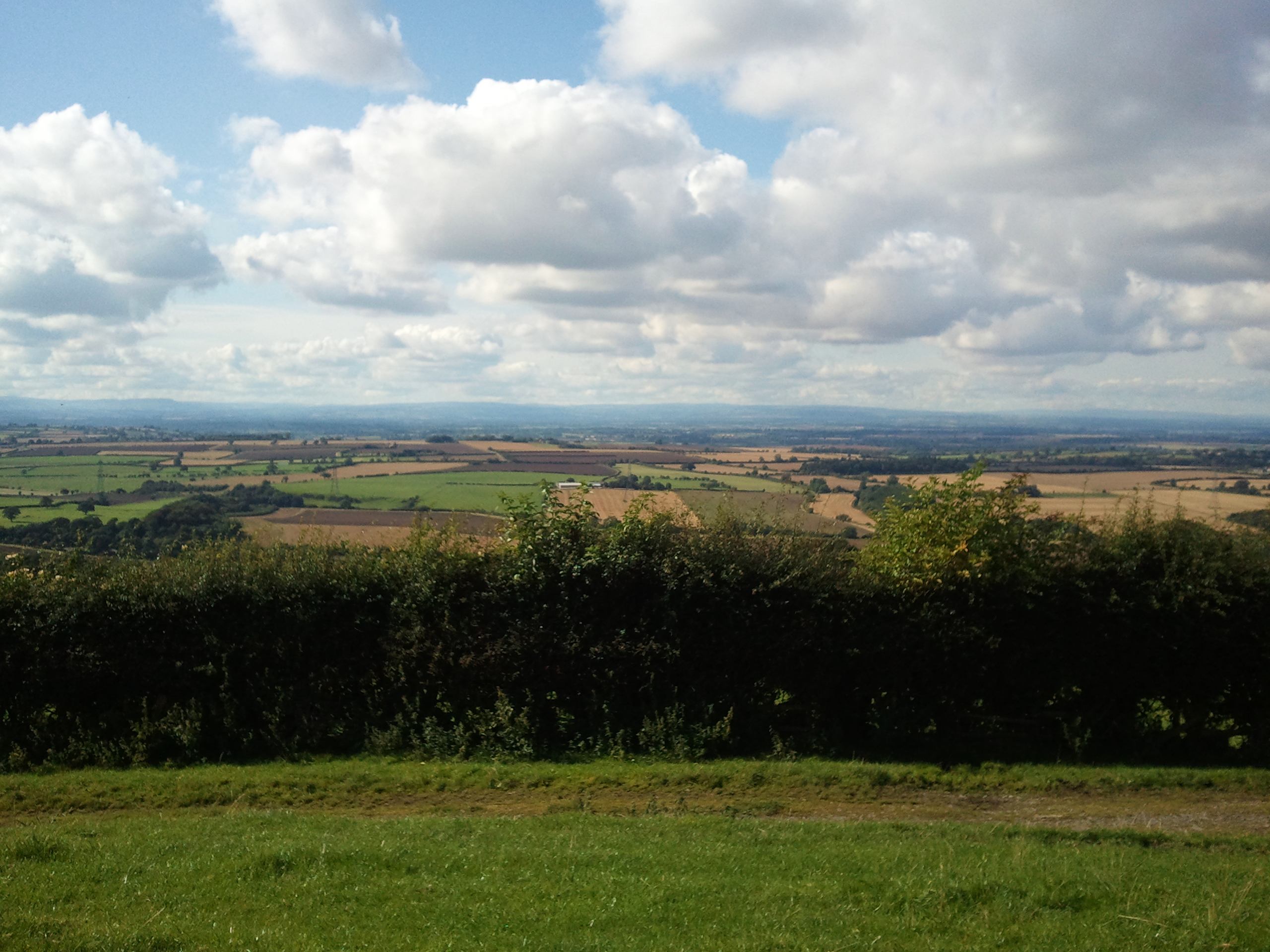
Cleveland Way: Sutton Bank to Osmotherley
Difficulty Rating:
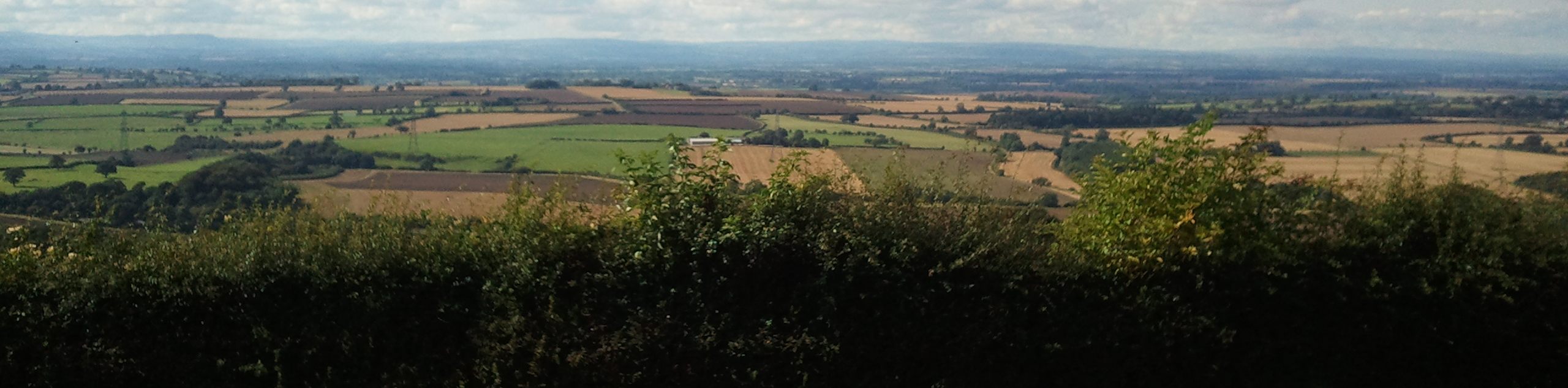
The Cleveland Way: Sutton to Osmotherley is a fantastic walking route in North York Moors National Park that is fairly challenging in certain areas, but will also provide stunning views across the park. While out on the trail, you will traverse the hillside at Sutton Bank and take in “The Finest View in England” before traversing the undulating terrain of the moors on the way into Osmotherley. This is a one-way adventure, so make sure to plan out your travel arrangements in advance.
Getting there
To get to the Cleveland Way: Sutton bank to Osmotherley trailhead from Thirks, head east on Sutton Road for 5.8mi and turn left to enter the car park.

About
| Backcountry Campground | No |
| When to do | March-November |
| Pets allowed | Yes - On Leash |
| Family friendly | No |
| Route Signage | Average |
| Crowd Levels | Moderate |
| Route Type | One Way |
Cleveland Way: Sutton Bank to Osmotherley
Elevation Graph
Weather
Cleveland Way: Sutton Bank to Osmotherley Description
Featuring gorgeous views across the North York Moors and the chance to traverse the picturesque countryside and barren moors, the Cleveland Way: Sutton Bank to Osmotherley is a fantastic walking route that will provide you with a good challenge.
Setting out from the car park at Sutton bank, you will head to the northwest along the edge of the hillside, experiencing what many refer to as “The Finest View in England” that spreads out across the North Yorkshire countryside.
From here, you will continue across the undulating terrain, passing through open fields and tranquil forests, before trudging your way across the rugged and barren landscape of the moor on the way into the trail’s end at the village of Osmotherley.
Similar hikes to the Cleveland Way: Sutton Bank to Osmotherley hike

Kirkbymoorside and Gillamoor Walk
The Kirkbymoorside and Gillamoor Walk is a great outdoor excursion along the southern edge of North York Moors National Park…

Botton and Blakey Ridge Circular Walk
The Botton and Blakey Ridge Circular Walk is a rugged and beautiful adventure that will allow you to experience the…
Snainton Circular Walk
The Snainton Circular Walk is a great family adventure that offers beautiful views of the countryside along the edge of…
Comments