Kilburn to Byland Abbey Walk
View Photos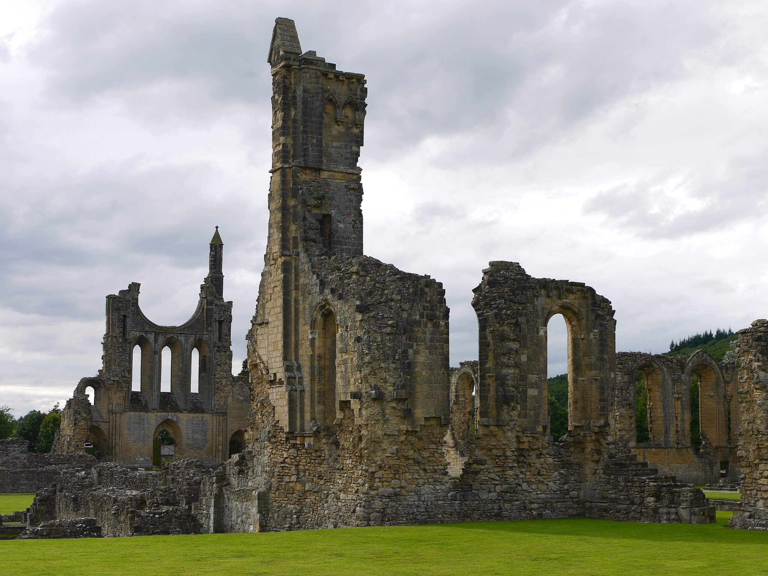
Kilburn to Byland Abbey Walk
Difficulty Rating:
The Kilburn and Byland Abbey Walk is a beautifully scenic route in North York Moors National Park that will provide an amazing view of the surrounding landscape and the chance to view historic buildings. While out on the trail, you will traverse the undulating terrain, making your way through open fields and tranquil forests before visiting the historic ruins of Byland Abbey. Be sure to bring a GPS or trail map along for this walk, as some areas can be tricky to navigate.
Getting there
To reach the trailhead for the Kilburn and Byland Abbey Walk from Thirsk, head east on Sutton Road for 1.8mi and turn right onto Moor Lane, following it for another 2.6mi. Keep straight onto Osgoodby Bank for 1.5mi, before making a right at Carr Lane. You will find the car park on the left in 75ft.

About
| Backcountry Campground | No |
| When to do | Year-Round |
| Pets allowed | Yes - On Leash |
| Family friendly | Older Children only |
| Route Signage | Poor |
| Crowd Levels | Moderate |
| Route Type | Circuit |
Kilburn to Byland Abbey Walk
Elevation Graph
Weather
Kilburn to Byland Abbey Walk Description
If you want to experience the beautiful scenery and local history of the North York Moors, and don’t mind exploring a bit of a longer trail, then the Kilburn to Byland Abbey Walk will be a great option for you to enjoy a fun day on the trail.
Setting out from the trailhead in the village of Kilburn, you will make your way to the southeast along the road before branching off to the east in order to climb uphill across the open fields. After traversing the undulating landscape and passing through Olstead, you will continue on to the northeast and pass through Snever Wood, climbing further uphill before looping around to the southeast.
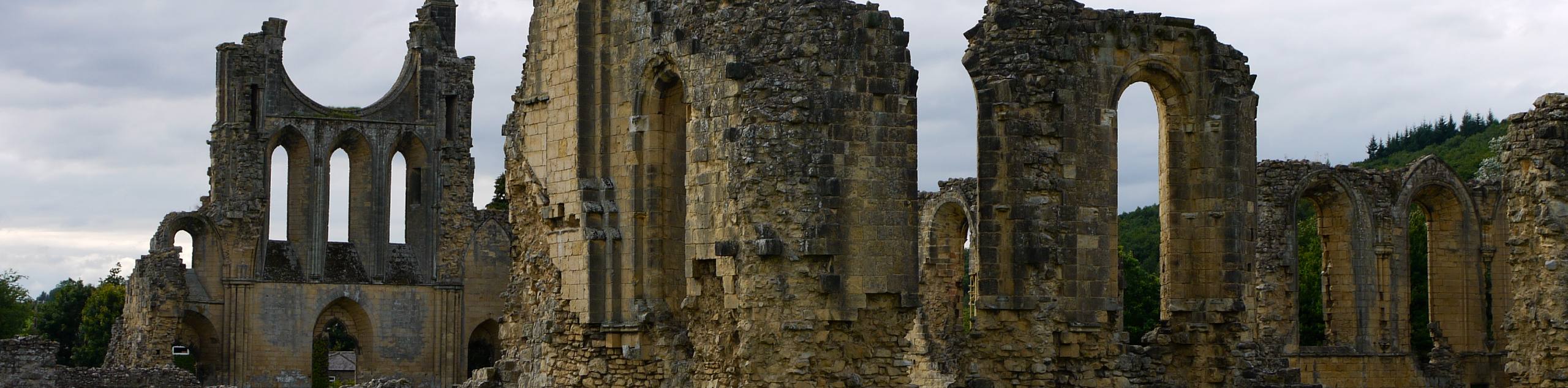
Heading downhill, you will eventually arrive at the ruins of the historic Byland Abbey. This building was initially constructed in 1135 and was later disestablished by King Henry VIII in 1538. After taking in the sights and exploring the impressive ruins, make your way to the northeast to open countryside on the way back to the trailhead in Kilburn.
Similar hikes to the Kilburn to Byland Abbey Walk hike

Kirkbymoorside and Gillamoor Walk
The Kirkbymoorside and Gillamoor Walk is a great outdoor excursion along the southern edge of North York Moors National Park…

Farndale Railway Walk to Blakey Ridge
The Farndale Railway Walk to Blakey Ridge is a lengthy but easy-going route that will allow you to experience the…

Botton and Blakey Ridge Circular Walk
The Botton and Blakey Ridge Circular Walk is a rugged and beautiful adventure that will allow you to experience the…
Comments