Helmsley Walk
View Photos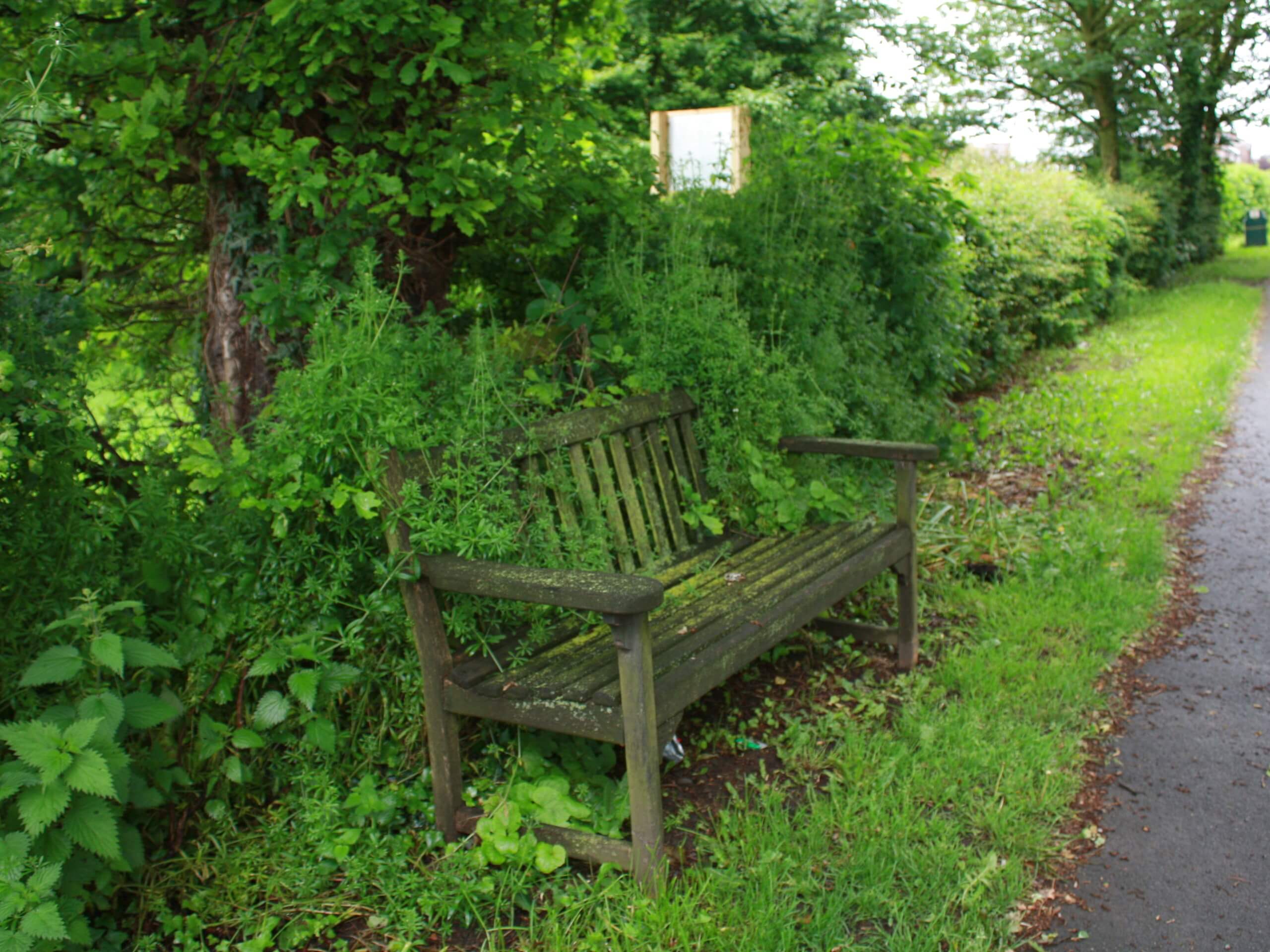
Helmsley Walk
Difficulty Rating:
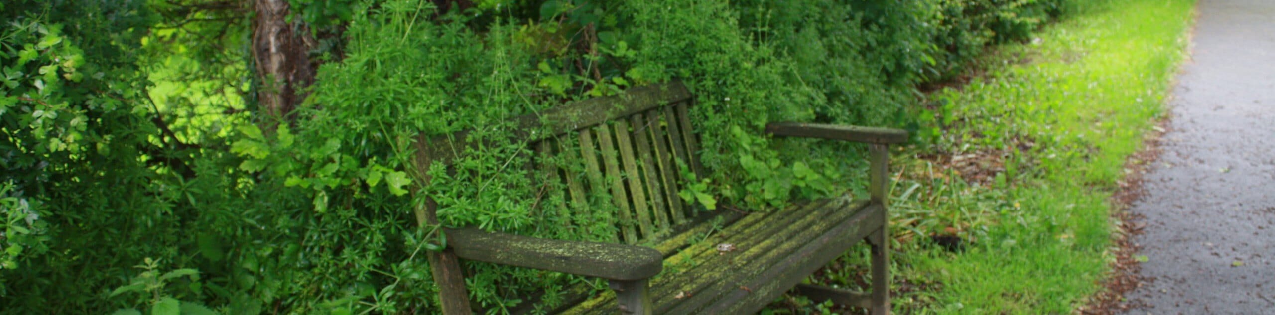
The Helmsley Walk is a fantastic adventure on the southern edge of North York Moors National Park that will see you traverse a beautiful stretch of countryside. While out walking the trail, you will walk through a tranquil forest along Borough Beck and cross over the open fields to the east before making the return through the peaceful expanse of Riccaldale. This is a lovely walking route that is a bit on the longer side but can still be enjoyed by all.
Getting there
To reach the trailhead for the Helmsley Walk from Kirkbymoorside, head west on A170 for 5.9mi and keep straight through the roundabout onto Market Place, following it for another 400ft. Make a right onto Church Street and follow it for 380ft, before turning left onto Cleveland Way. In 415ft, turn left to enter the car park.

About
| Backcountry Campground | No |
| When to do | Year-Round |
| Pets allowed | Yes |
| Family friendly | Yes |
| Route Signage | Average |
| Crowd Levels | Moderate |
| Route Type | Circuit |
Helmsley Walk
Elevation Graph
Weather
Helmsley Walk Description
If you are searching for a fairly laid back walk with some beautifully scenic views that is still a bit on the longer side, the Helmsley Walk in the North York Moors is just that. This wonderful route will take you from the charming village of Helmsley on a countryside loop that features wooded dales, open fields, and winding rivers. What a fantastic way to spend the afternoon outdoors!
Setting out from the car park at the historic Helmsley Castle, you will head to the northwest and leave the village behind, entering into the tranquil stretch of woodland terrain that runs alongside Borough Beck. After following this for some distance, you will turn to the east and climb up the steep hillside in order to escape the cover of the forest and arrive at the edge of a field.
Make your way to the east here across the open fields, taking in the picturesque countryside views as you make the approach to Riccaldale. Instead of descending the hillside, you will walk along the edge of the forest as it heads south, following a parallel course to the banks of the winding River Riccal. After turning towards the southwest and cutting across the fields, you will pass through the historic streets of Helmsley on the return to the car park.
Similar hikes to the Helmsley Walk hike

Kirkbymoorside and Gillamoor Walk
The Kirkbymoorside and Gillamoor Walk is a great outdoor excursion along the southern edge of North York Moors National Park…

Farndale Railway Walk to Blakey Ridge
The Farndale Railway Walk to Blakey Ridge is a lengthy but easy-going route that will allow you to experience the…

Botton and Blakey Ridge Circular Walk
The Botton and Blakey Ridge Circular Walk is a rugged and beautiful adventure that will allow you to experience the…
Comments