
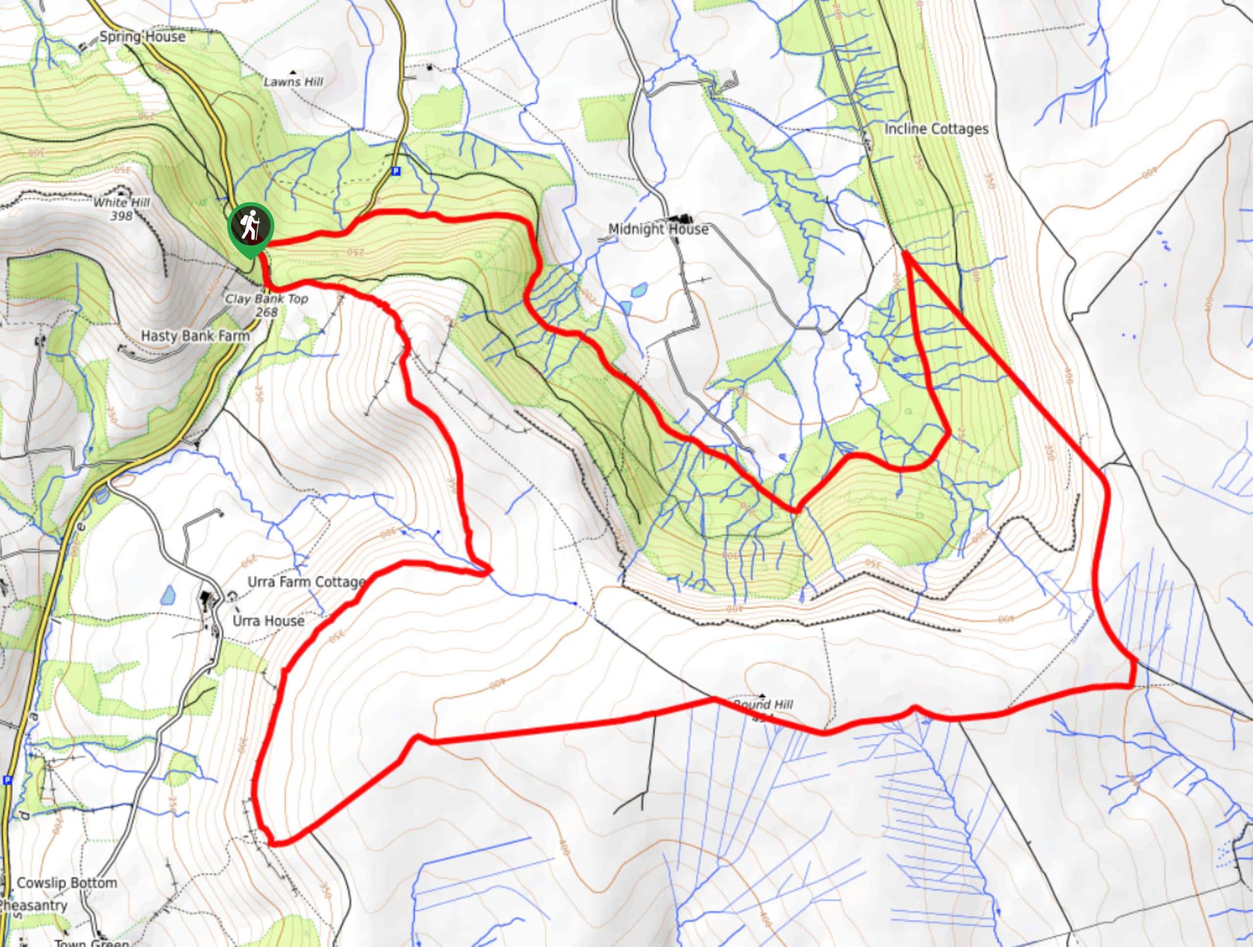
Clay Bank Top and Ingleby Incline Walk
View Photos
Clay Bank Top and Ingleby Incline Walk
Difficulty Rating:
The Clay Bank Top and Ingleby Incline Walk is a fun - albeit challenging - walking route in North York Moors National Park that will see you traverse the undulating terrain of the moors for some awesome views of the surrounding landscape. While out on the trail, you will climb uphill and traverse the moor, taking in the spectacular views before making the long descent along the Ingleby Incline and crossing Greenhow Bottom. There are a number of ups and downs along this walk, so be prepared to get a good workout in!
Getting there
To get to the trailhead for the Clay Bank Top and Ingleby Incline Walk from Great Broughton, head south for 2.6mi along High Street/B1257 and turn left to enter the car park.

About
| Backcountry Campground | No |
| When to do | Year-Round |
| Pets allowed | Yes - On Leash |
| Family friendly | Older Children only |
| Route Signage | Average |
| Crowd Levels | Moderate |
| Route Type | Circuit |
Clay Bank Top and Ingleby Incline Walk
Elevation Graph
Weather
Clay Bank Top and Ingleby Incline Walk Description
The walk along Clay Bank Top and the Ingleby Incline does involve a bit of strenuous exercise; however, the views from atop the barren landscape of the moors are spectacular and well worth the effort. Bring plenty of water, as well as water-resistant walking boots to better traverse the portions of the trail that are often boggy.
Setting out from the car park, you will make your way to the south and climb uphill to access the vast, barren expanse of the moor. After taking in the beautiful views across North York Moors National Park, you will turn to the east to traverse the summit of Round Hill before making your way down the hillside along the Ingleby Incline.
After reaching Greenhow Bottom, follow along the base of the hillside as it works to the west, passing through open fields and dense pockets of woodland terrain until you arrive back at the trailhead where you began.
Similar hikes to the Clay Bank Top and Ingleby Incline Walk hike

Kirkbymoorside and Gillamoor Walk
The Kirkbymoorside and Gillamoor Walk is a great outdoor excursion along the southern edge of North York Moors National Park…

Botton and Blakey Ridge Circular Walk
The Botton and Blakey Ridge Circular Walk is a rugged and beautiful adventure that will allow you to experience the…
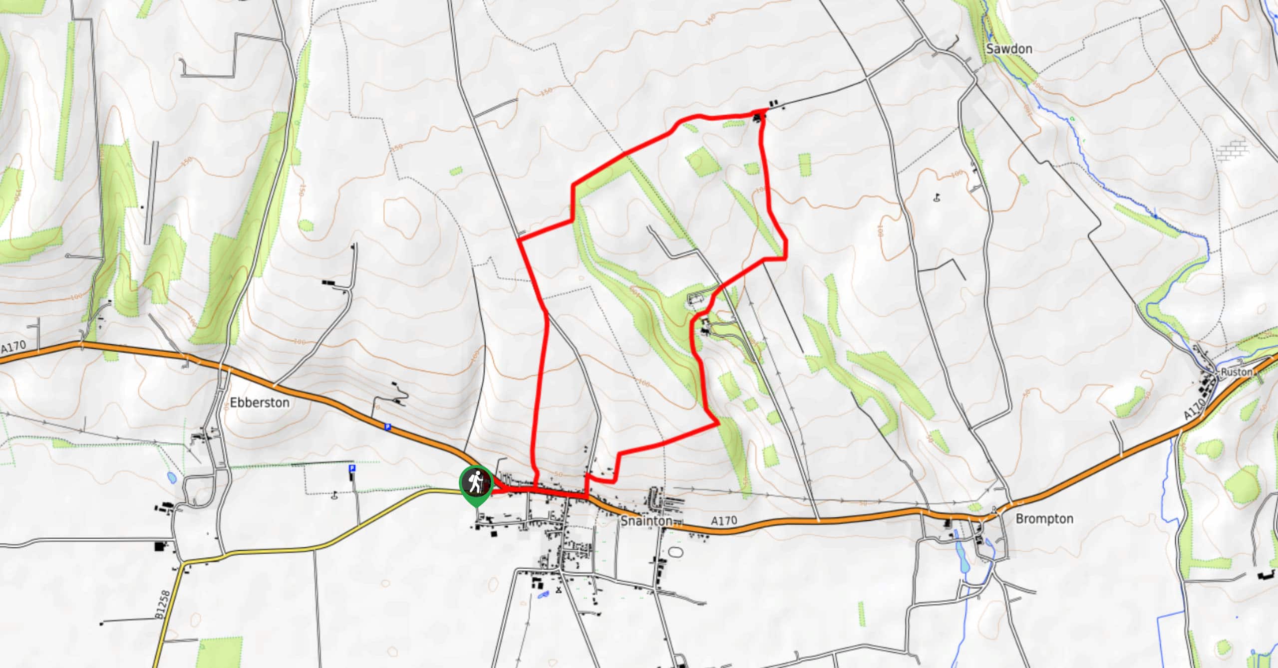
Snainton Circular Walk
The Snainton Circular Walk is a great family adventure that offers beautiful views of the countryside along the edge of…
Comments