Goathland, Mallyan Spout and the Roman Road hike
View Photos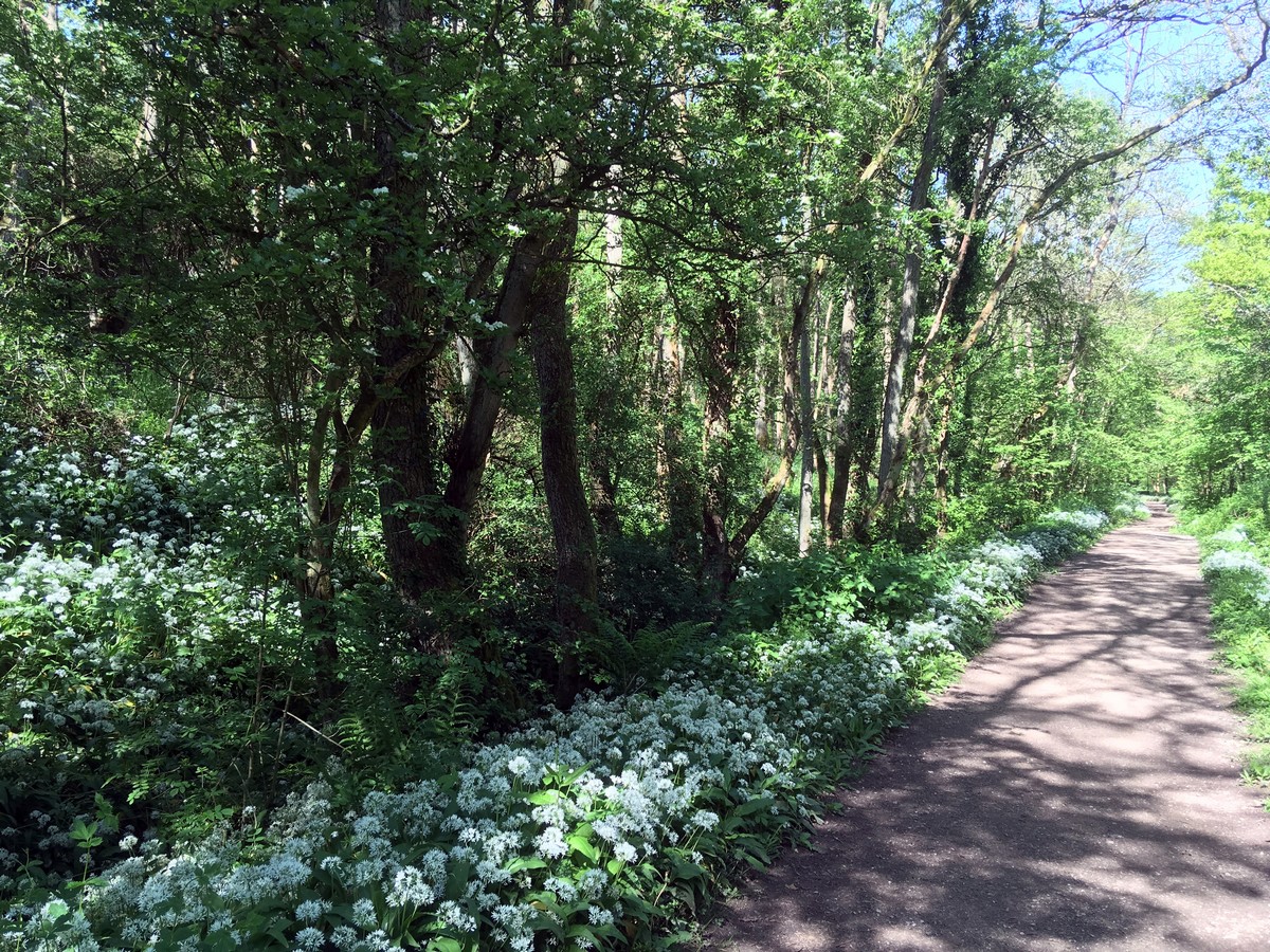
Goathland, Mallyan Spout and the Roman Road hike
Difficulty Rating:
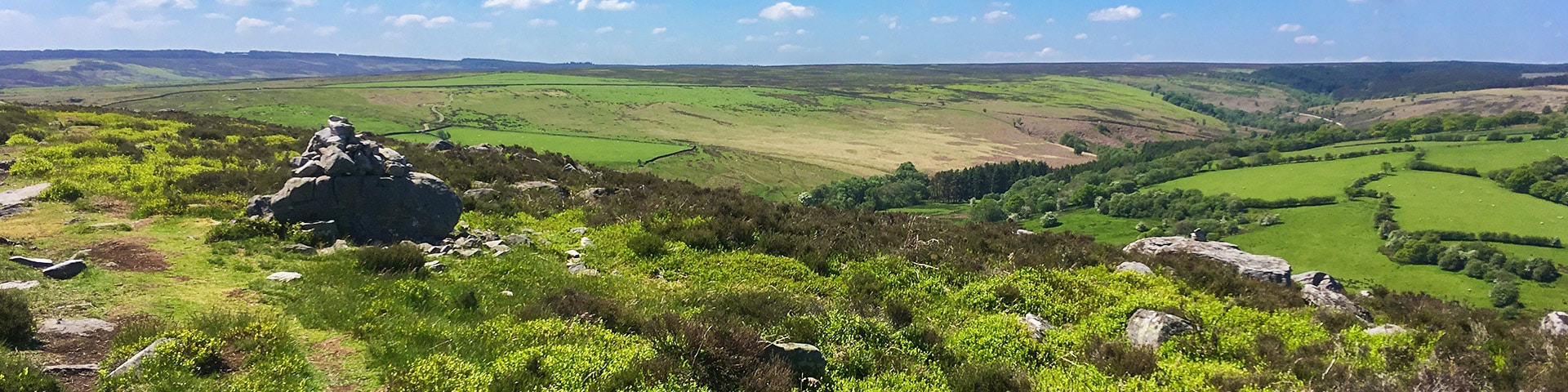
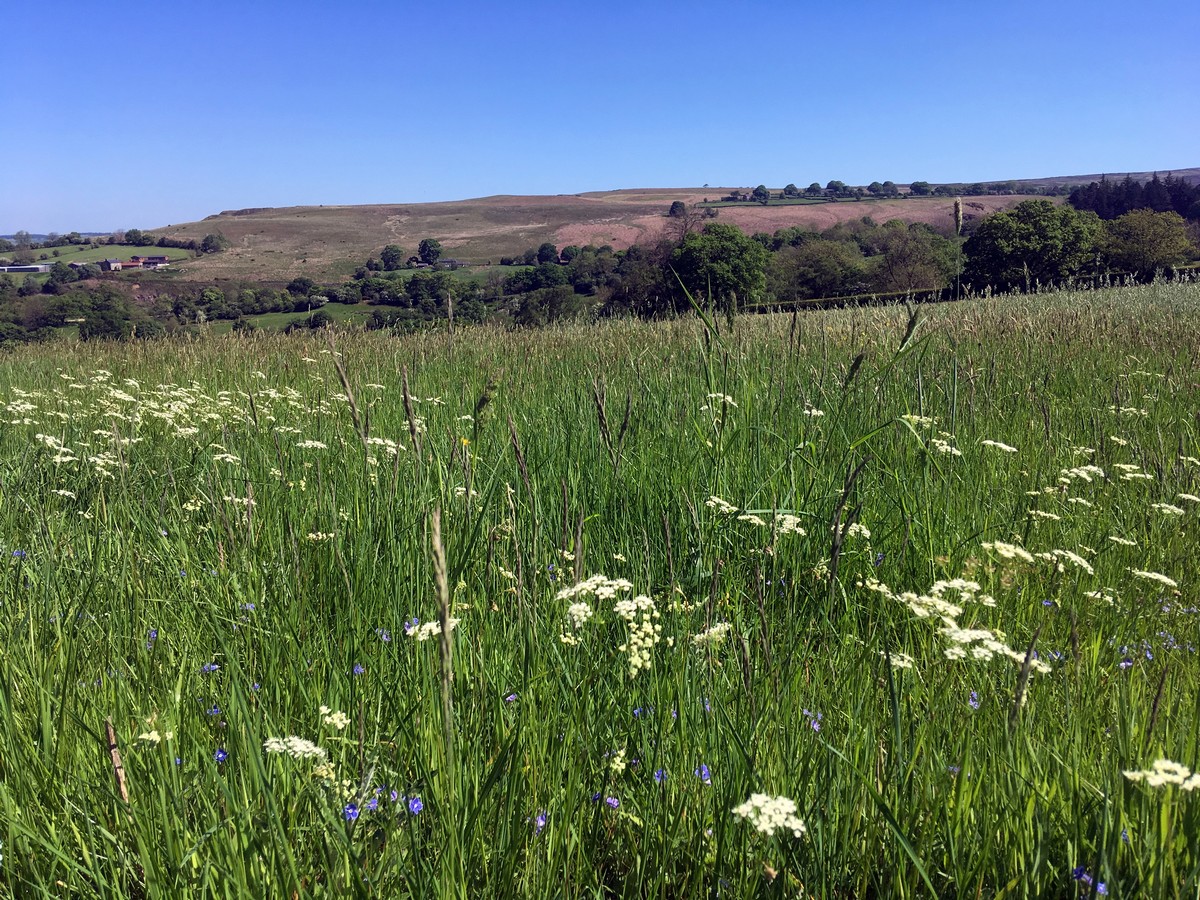
Although a challenging hike – both lengthy and requiring steady legs for the negotiation of some uneven and craggy terrain through West Beck – it’s most definitely worth it! You’ll be rewarded with beautiful wooded valleys, a spectacular waterfall, open moorland and the well-preserved Roman Road.
Getting there
From Pickering, take the A169 towards Malton. After 11.0mi and a sharp bend to the left, take the road signposted towards Goathland and Beck Hole. After 2.5mi you will reach Goathland. Turn right at the mini roundabout to head through the village centre. After 0.8mi turn left along Beck Hole Road, the National Park car park is immediately on your left. Parking costs £3.

About
| When to do | April - September |
| Backcountry Campsites | No |
| Toilets | At car park in Goathland |
| Family friendly | No |
| Route Signage | Average |
| Crowd Levels | Moderate |
| Route Type | Circuit |
Goathland, Mallyan Spout and the Roman Road
Elevation Graph
Weather
Route Description for Goathland, Mallyan Spout and the Roman Road
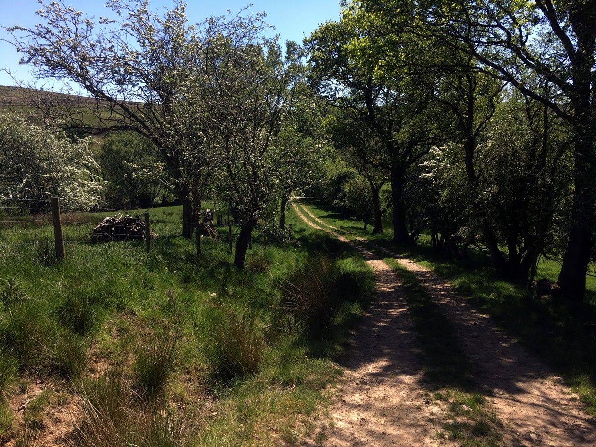
From the car park turn left along Beck Hole Road. 164ft further along, turn left through a small gate leading you on to the Goathland rail trail. Pass through a second gate just 300 m ahead to cross a lane and through another gate to rejoin the trail. Continue gently downhill through pretty woodland before eventually emerging at Incline Cottage. Directly in front of the cottage turn left to follow signs towards ‘The Mallyan’.
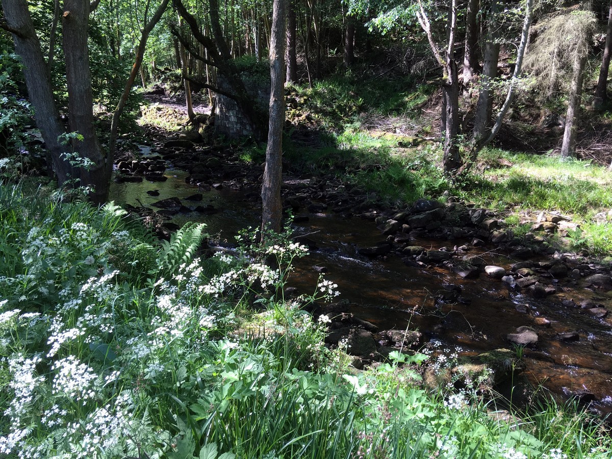
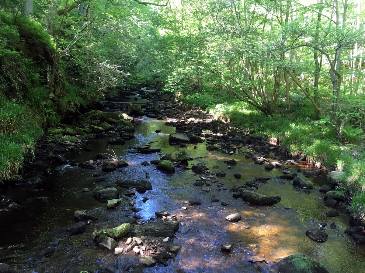
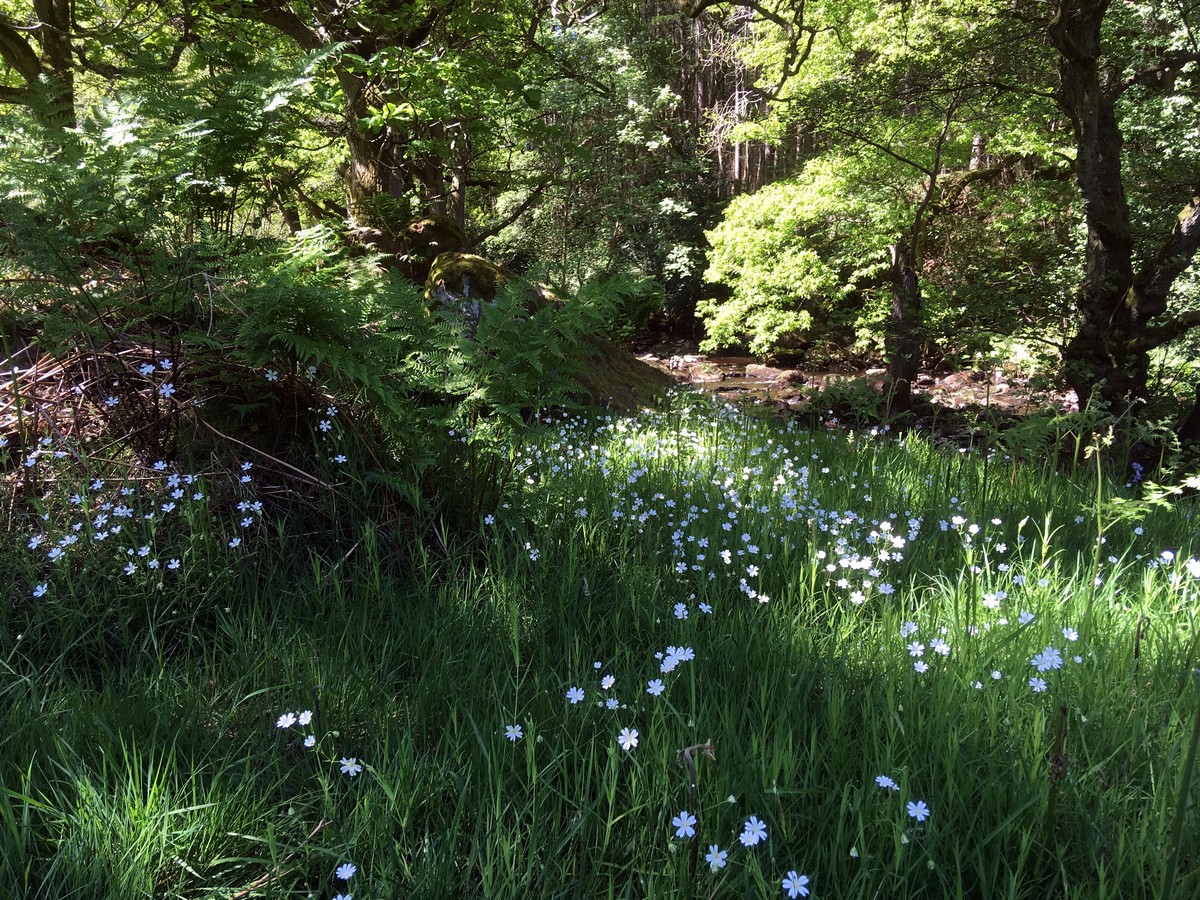
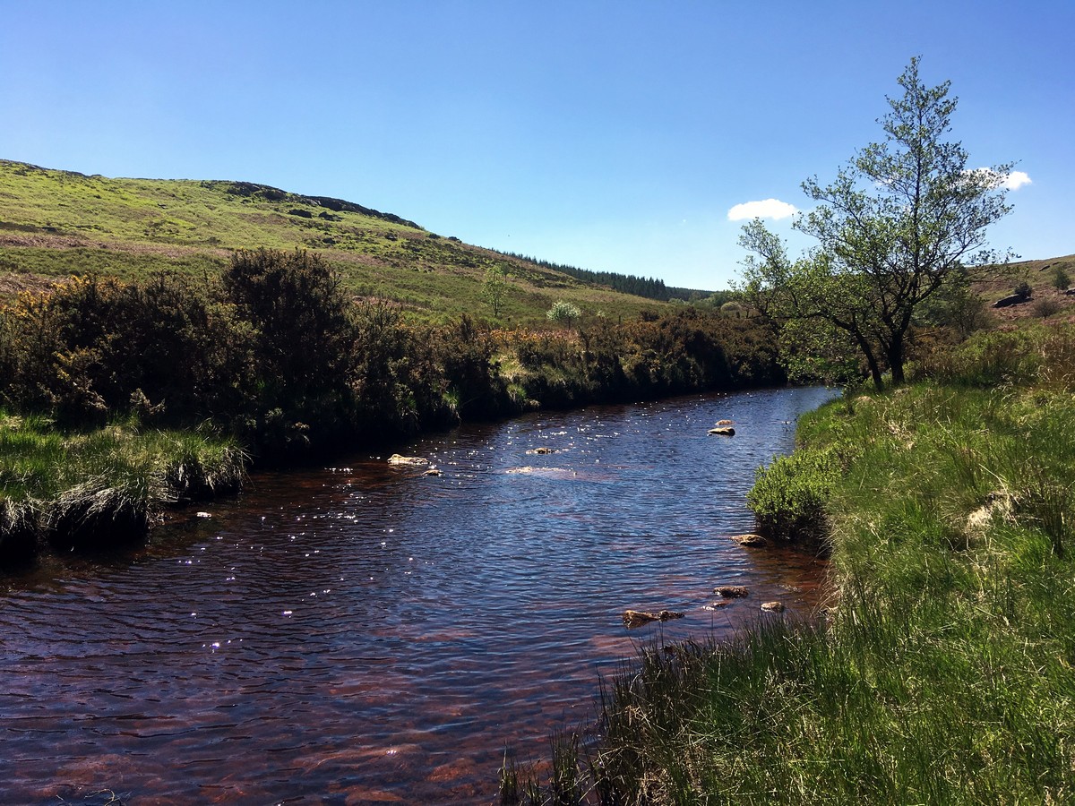
Stay on this path for 0.7mi as it winds up the valley. Pass through several gates, while all the time continuing to follow West Beck upstream. Keep ahead at the junction with Goathland signposted to the left. The path now becomes a little trickier to negotiate – good footwear is important if you want to avoid slipping and wet feet! Continue upstream for 1.0mi, passing the stunning ‘Mallyan Spout’ waterfall and crossing two footbridges soon after the waterfall.
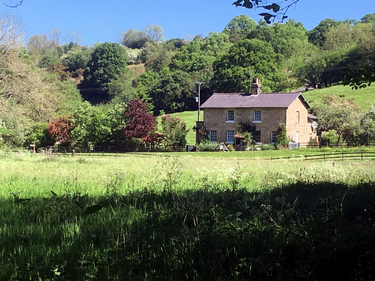
After a slow and gradual climb the footpath emerges onto a country lane over a stile beside a small road bridge. Turn left onto the lane and follow it uphill for 328ft, where it bends to the left. Turn right onto the marked track heading towards the river. Before reaching the water, a path branches off to the left and crosses a footbridge – take this. Once over the bridge, the path turns left and takes you in front of a cottage and onto a narrow field. Go through the gate, cross the field and leave following a way-marked track through another gate that leads into some woodland.
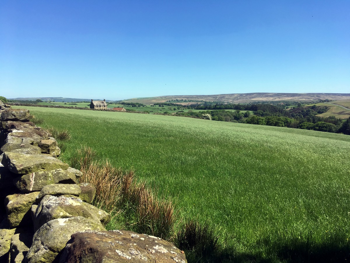
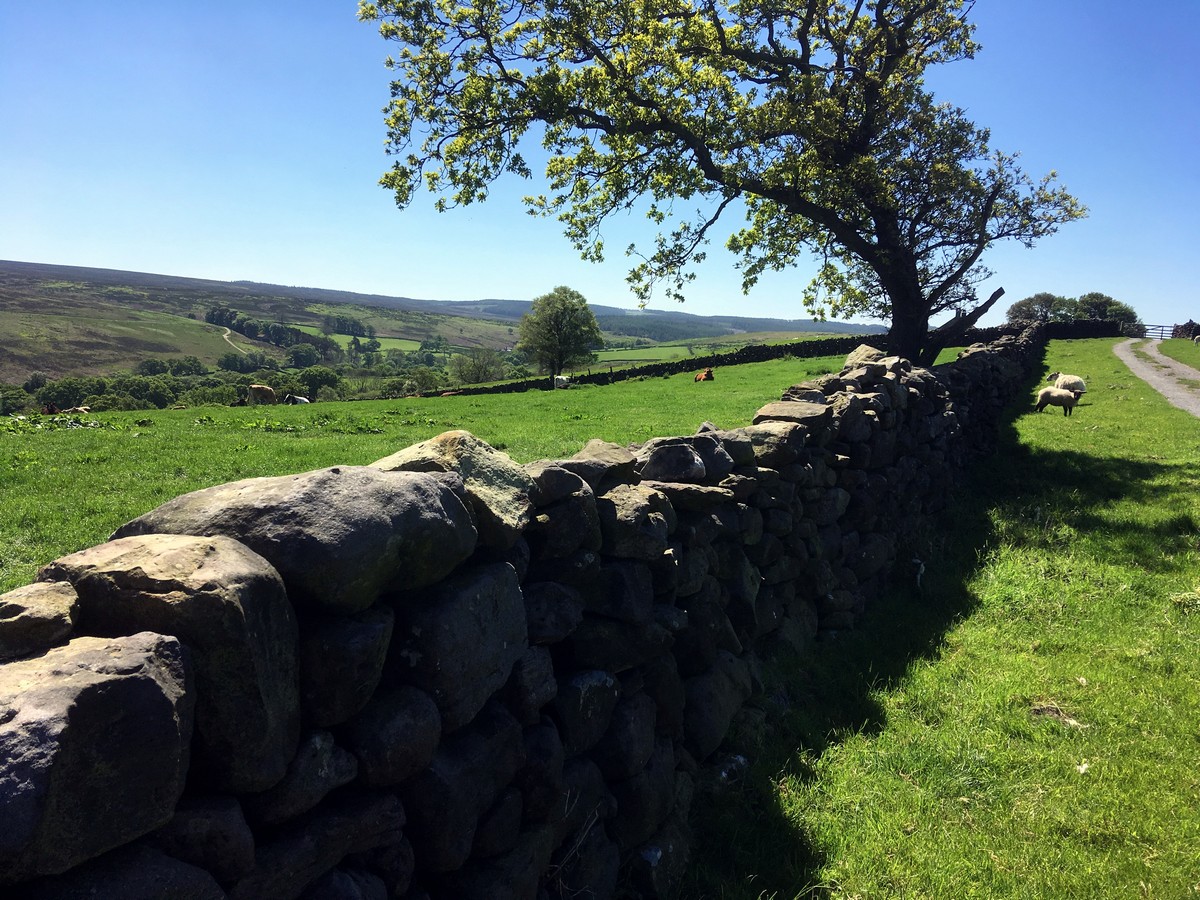
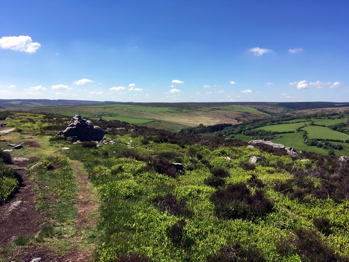
The path climbs steeply through the woodland and after 0.3mi reaches a gate to exit the wood onto farmland. Head to the top left hand corner of this field. Pass through another gate, then walk along the top of this next field to a smaller gate, turning right and again walking straight uphill following the hedge line. Exit the field onto a tarmacked track. Turn left and continue along, passing through several more gates to Hazelhead Farm. Walk in front of the farm buildings, exiting the farmyard via a gate to follow the marked bridleway. Don’t forget to enjoy the views down into the valley below.
The route now drops down into the valley via a farm track, meeting a ford at the bottom. Turn right before the river, cross the footbridge and then bear right to follow the river upstream. Through the gate bear left to join a well-used farm track that continues uphill. After exiting the second field through a gap in the stonewall, you’ll notice a plaque with information about the Roman Road to your left.
From here, come off the track to follow the Roman Road as it cuts across the hillside. Follow the gully and cobbled but grassy road for roughly 984ft, until you’ll cross a stonewall. Climb the ladder stile and continue ahead. A cairn 820ft ahead marks a footpath that turns sharply left off the Roman Road. Follow this downhill – it is vague at times but soon meets a more substantial rocky path.
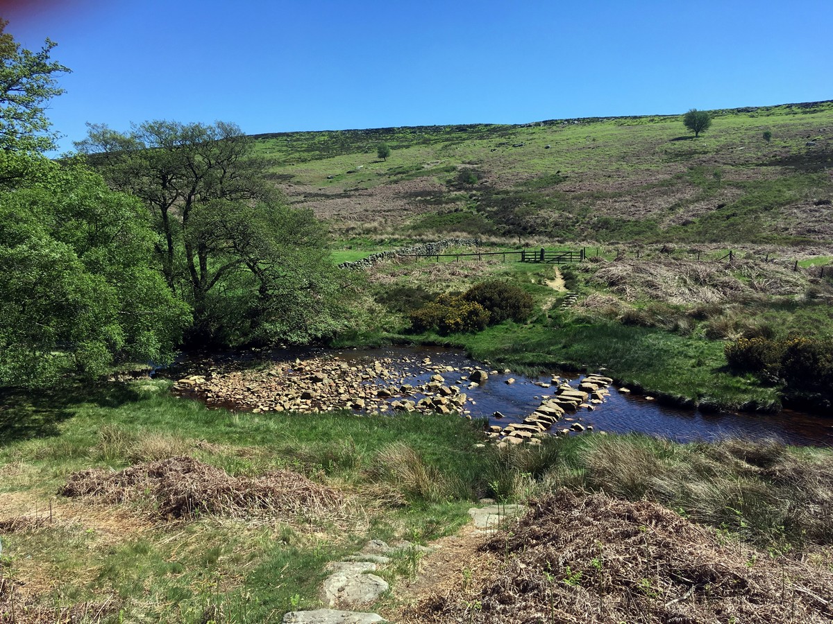
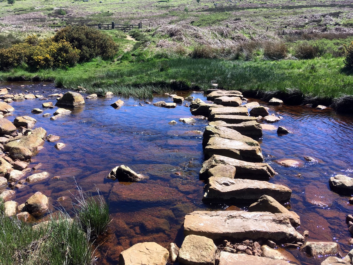
Continue downhill to some stepping stones that you will spot from high above, jumping from stone to stone across the stream. Go through the gate, head uphill before shortly turning left to follow the path towards the Wheeldale Lodge. Pass the lodge to the right and join the track on the far side. Follow the track to Hunt House, approximately 0.3mi further on. Cross the bridge and turn immediately right to head up onto the moorland following the sign for ‘Goathland’. The path is crossed by several sheep tracks however, following a small gully and cairns will guide you further up.
Continue up to the ridge, turning sharply right to head towards a prominent cairn on the ridgeline. Upon reaching the ridge, turn left to contour following the footpath from cairn to cairn. At a larger cairn, pass to its left and head down along a track taking you towards the road. The track continues parallel to the road, gradually drawing you closer, and eventually meets the road a kilometer further on. Turn right onto the road and continue into Goathland. After roughly 0.7mi through the village, you’ll spot the car park to your left.
Find more amazing walks in North York Moors National Park:
Insider Hints
Wear sturdy shoes – even in good weather the path up through West Beck is likely to be slippery.
Head to the Mallyan Spout Hotel’s Coach House Café before returning to the car park.
Take plenty of snacks and water – no stop offs on this route.

Similar hikes to the Goathland, Mallyan Spout and the Roman Road hike

Kirkbymoorside and Gillamoor Walk
The Kirkbymoorside and Gillamoor Walk is a great outdoor excursion along the southern edge of North York Moors National Park…

Farndale Railway Walk to Blakey Ridge
The Farndale Railway Walk to Blakey Ridge is a lengthy but easy-going route that will allow you to experience the…

Botton and Blakey Ridge Circular Walk
The Botton and Blakey Ridge Circular Walk is a rugged and beautiful adventure that will allow you to experience the…
Abu Sharif 4 years ago
The views were cool but no one told be the path could be slippery.
Ramses CC 4 years ago
The weather was incredible and I absolutely love the views.
Charliechoco 4 years ago
the waterfall is bloody awesome. the open moorland is also nice, while the roman road reminds me of that old movie entitled "stardust."
Fran Cine 4 years ago
Wow! I've been to Goathland lots of times but did this walk for the first time last week. stunning walk two waterfall woodland walks
Mike Elderi 4 years ago
It was a nice adventure. The trail was rough and uneven so wearing good footwear is essential to avoid the slippery steps.
FellWalker 4 years ago
Great walk with beautiful scenery
james pipes 4 years ago
Great hike! It will give you a nice workout for your legs, enough just to burn unwanted fats.
ShirleySyk 4 years ago
We hiked down to see the Mallyan Spout waterfall and it was definitely one of the best walks I've ever done in my life with gorgeous scenery
Levi Mcfling 4 years ago
So much to see here. A must try!
Joannachan 4 years ago
Wow! There are woodlands, moorlands, and waterfalls in this hike! Amazing variety of beautiful scenery.