Cinder Track, North Bay, and Peasholm Park Walk
View Photos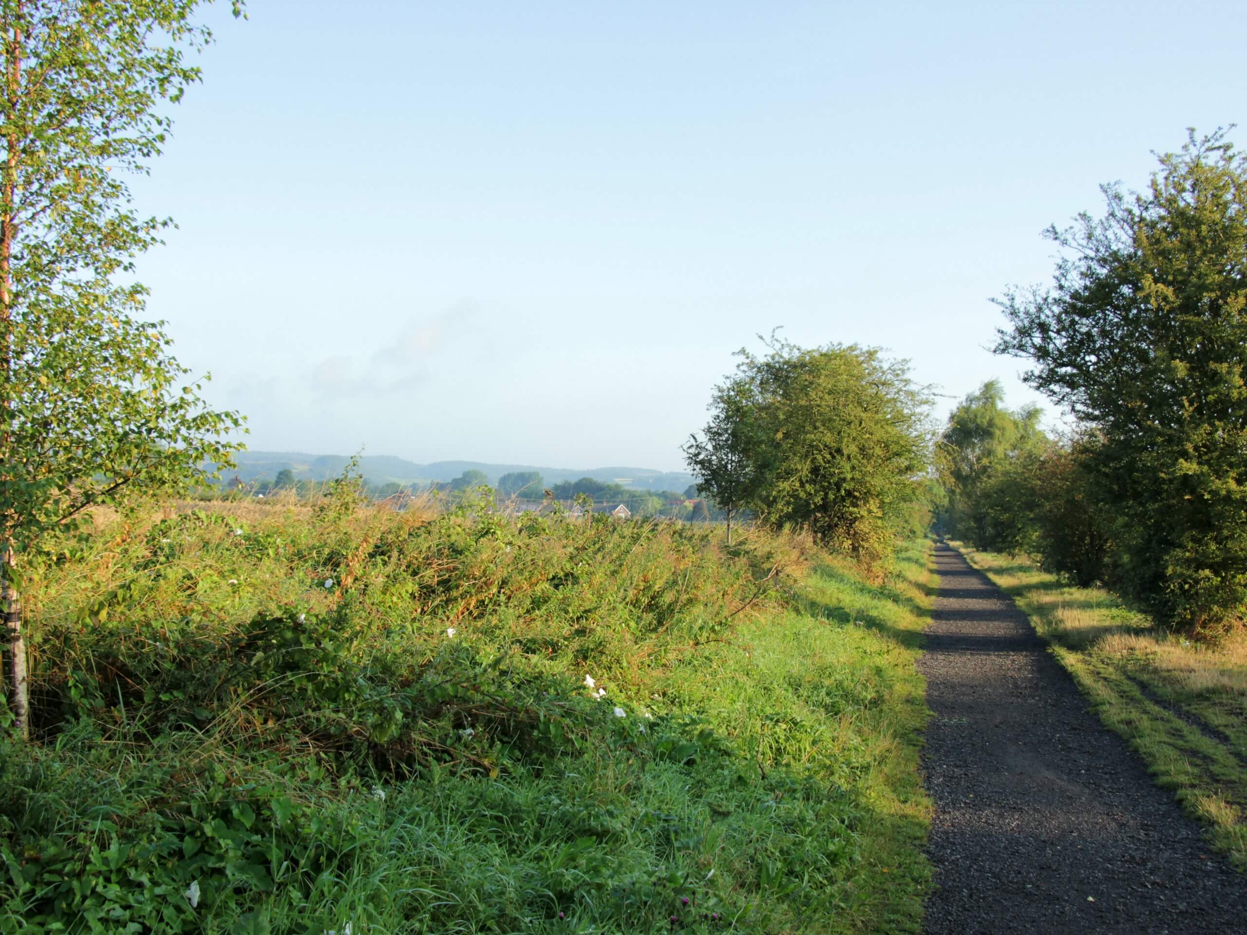
Cinder Track, North Bay, and Peasholm Park Walk
Difficulty Rating:
The Cinder Track, North Bay, and Peasholm Park Walk is a lovely adventure in Scarborough that showcases the natural and manmade highlights within this city along the edge of the North York Moors. While out on the trail, you will make your way through the city and take in the beautiful views along the North Bay before heading back into the heart of the city while passing by the charming Peasholm Park. This is a laidback adventure that is suitable for all ages and skill levels.
Getting there
To get to the trailhead for the Cinder Track, North Bay, and Peasholm Park Walk from the Rotunda Museum in Scarborough, head north on Vernon Road for 0.1mi and take the first exit at the roundabout onto Somerset Terrace, following it for 0.2mi. Turn right onto Valley Bridge Road and continue on for 0.1mi before making a left onto Westborough. After 0.2mi, you will arrive at the starting point of the walk.

About
| Backcountry Campground | No |
| When to do | Year-Round |
| Pets allowed | Yes - On Leash |
| Family friendly | Yes |
| Route Signage | Average |
| Crowd Levels | Moderate |
| Route Type | Circuit |
Cinder Track, North Bay, and Peasholm Park Walk
Elevation Graph
Weather
Cinder Track, North Bay, and Peasholm Park Walk Description:
As it is a city adventure, the Cinder Track, North Bay, and Peasholm Park Walk is a fairly laid back experience that doesn’t offer much in the way of challenging or difficult terrain. Even still, you should make sure to wear comfortable walking shoes for this adventure. There are several road crossings and areas where there may be high volumes of people, so keep an eye on children or dogs.
Overall, this is a fantastic walk that will not only allow you to explore the green spaces of Scarborough, but will also provide some amazing views overlooking the sea. After making your way across the city, you will walk along the North Bay Promenade and take in some stunning views across the beach that will make you forget all about the city behind you. For history lovers, you will have a great sightline to the ruins of Scarborough Castle that stand proudly atop their seaside perch. What a great way to spend an afternoon walking and exploring the beauty of Scarborough!
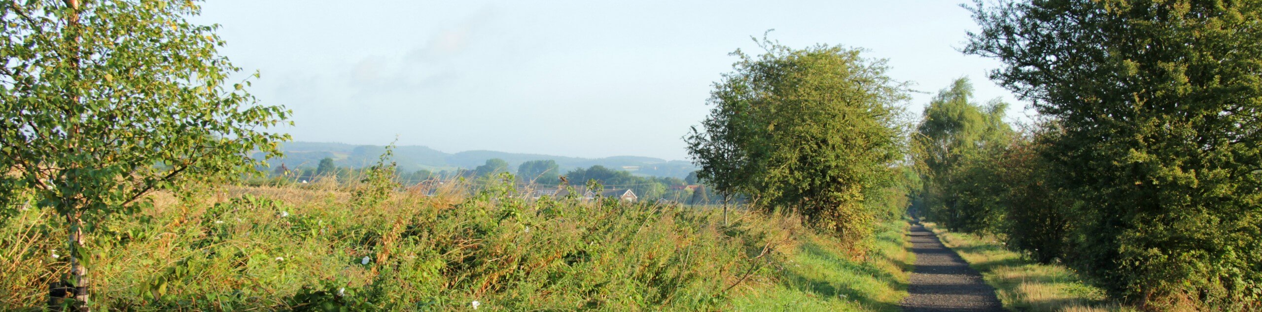
Setting out from the trailhead near the Scarborough rail station, head to the southwest along the road for 0.1mi and make a right onto West Parade Road in order to cut across the Sainsbury’s car park. Reaching the northwest corner, you will meet up with the Cinder Track. Follow this to the northwest for the next 1.7mi, utilizing this small corridor of green space to traverse the city landscape and meet up with a trail junction at the edge of the North Cliff Golf Club.
Turn left at the junction to make your way east for 0.3mi, where you will transition onto Hillcrest Avenue, following it for a further 0.3mi to meet up with Burniston Road. Turn right here, followed by a left in 320ft onto Scalby Mills Road. Continue along Scalby Mills Road for 0.5mi, taking in the views overlooking the golf course before passing the Old Scalby Mill pub and arriving at the edge of the North Sea.
Turn left here onto The North Bay Promenade and make your way along the edge of the water. Take your time in this picturesque location, enjoying the views that stretch out across the blue expanse of the sea and include the iconic sight of the 12th Century Scarborough Castle standing proudly atop the cliffside to the southeast.
After 0.8mi of walking along the scenic beaches of Scarborough, you will meet up with the edge of Royal Albert Drive. Turn left along the road and follow it for 300ft, heading right along a path that will lead you through Royal Albert Park. Once you have climbed gently uphill through the park and have arrived at the edge of Queen’s Parade, turn right and follow the road for 0.1mi to meet up with Burniston Road at the edge of Peasholm Park. If you feel so inclined, you can head into the park for a quick detour to explore its extravagant, Eastern-themed gardens and green spaces before continuing along the route.
At Burniston Road, head to the southwest for 0.8mi, turning right to pass by the Scarborough rail station on the return to the trailhead where you began your adventure along the Cinder Track, North Bay, and Peasholm Park Walk. If you are after some post-walk drinks or refreshments, The Stumble Inn can be found a short 325ft to the southwest along the same road.
Trail Highlights
Scarborough Castle
Located atop a rocky promontory overlooking Scarborough and the North Sea, Scarborough Castle was once an important fortification in the defense of the Yorkshire coast. While the current stone castle dates back to the 12th Century, the site was also of importance to Iron Age Britons and Romans, as well as later Anglo-Saxon inhabitants. After periods of heavy investment during the Middle Ages and English Civil Wars, Scarborough Castle eventually fell into disrepair as its importance waned towards the end of the 17th Century.
Insider Hints
This trail does feature a set of stairs and several road crossings, so make sure to exercise caution when travelling with children.
Although walking boots are not necessary for this trail, you should wear shoes that will allow you to remain comfortable throughout the walk.
Toilet facilities can be found along the North Bay stretch of this walk.
Similar hikes to the Cinder Track, North Bay, and Peasholm Park Walk hike

Kirkbymoorside and Gillamoor Walk
The Kirkbymoorside and Gillamoor Walk is a great outdoor excursion along the southern edge of North York Moors National Park…

Farndale Railway Walk to Blakey Ridge
The Farndale Railway Walk to Blakey Ridge is a lengthy but easy-going route that will allow you to experience the…

Botton and Blakey Ridge Circular Walk
The Botton and Blakey Ridge Circular Walk is a rugged and beautiful adventure that will allow you to experience the…
Comments