
Hanes Valley hike
View Photos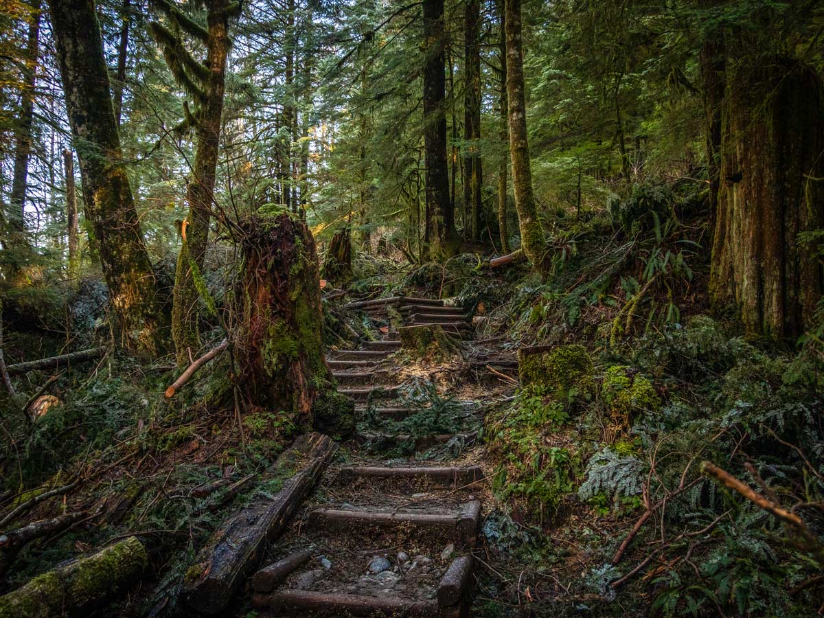
Hanes Valley hike
Difficulty Rating:
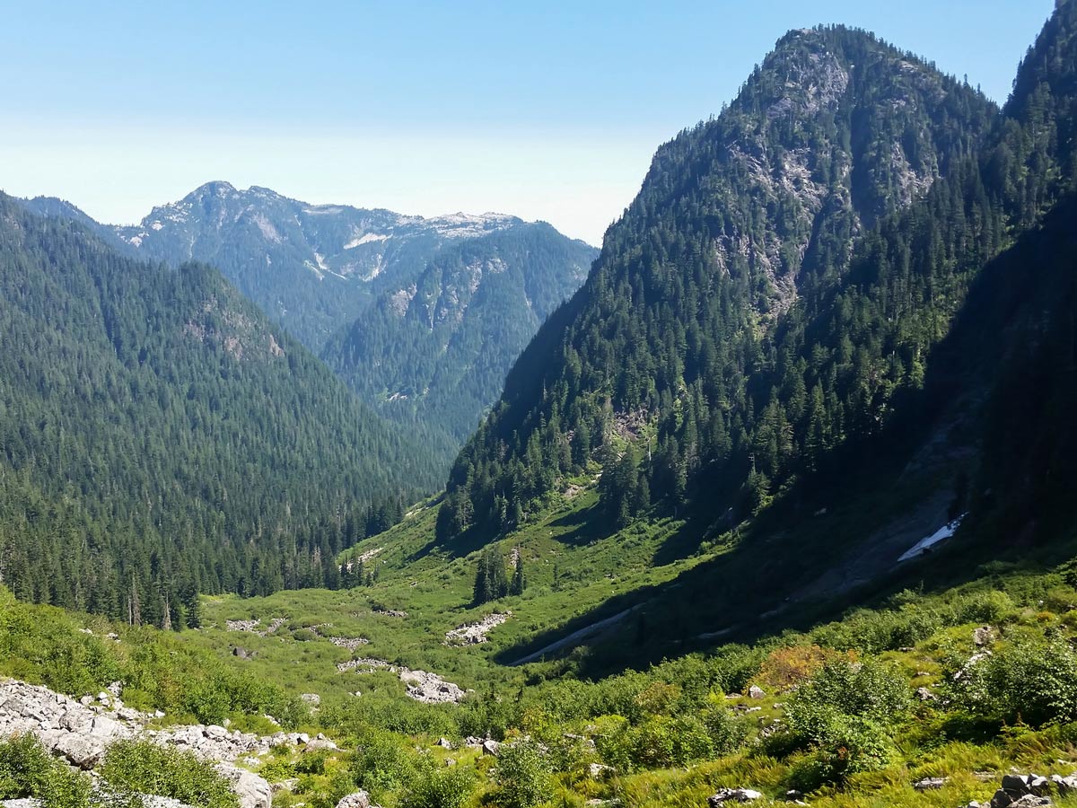
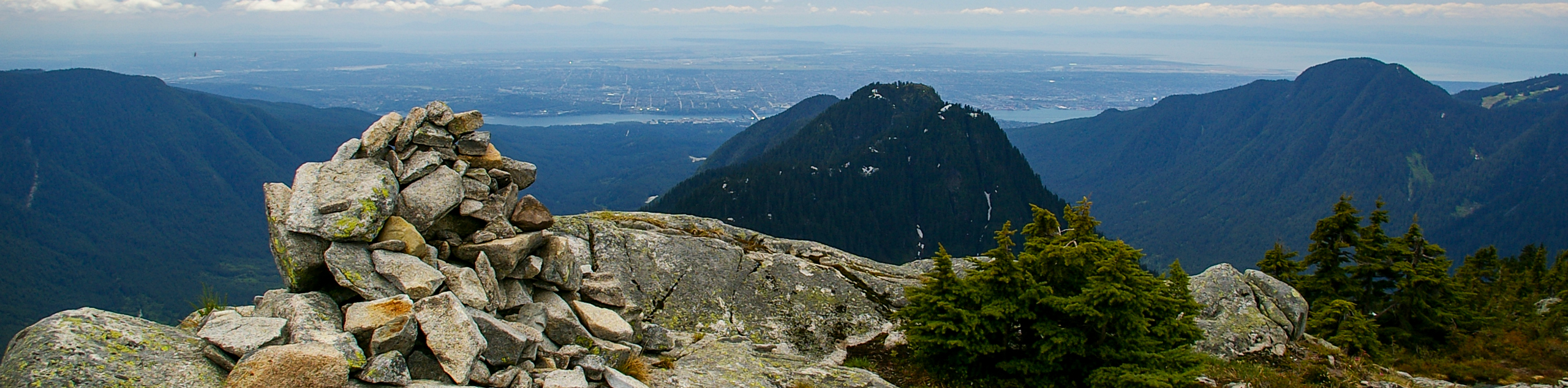
The Hanes Valley Trail hike makes for a hard and strenuous day, but the view at the top will make it all worth it. Starting from Lynn Headwaters Regional Park, you’ll travel past steep valleys, glistening lakes and wildflower fields to reach the top of Grouse Mountain.
Getting there
From North Vancouver, head out of the city onto Boulevard Crescent. Then, continue onto Lynn Valley Rd. for 3.1mi until you reach Lynn Headwaters Regional Park parking lot.

About
| When to do | Late July to September |
| Backcountry Campsites | No |
| Pets allowed | No |
| Family friendly | No |
| Route Signage | Average |
| Crowd Levels | Moderate |
| Route Type | Circuit |
Hanes Valley
Elevation Graph
Weather
Route Description for Hanes Valley
We suggest doing the Hanes Valley Loop using a shuttle as you start and end in different places. You can do this as a complete circular hike, starting and ending at Lynn Valley.
To do the Hanes Valley hike using a shuttle, park a 2nd car at Grouse Mountain, and drive to start the hike in Lynn Valley. While you can do this as a circular hike, it’s really nice taking the Grouse Mountain Skyride down after a great hike.
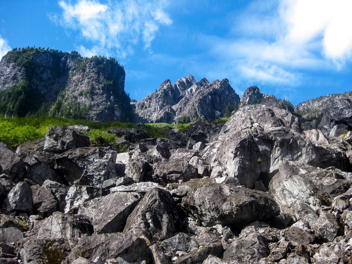
Also, note that the Hanes Valley hike is a technical hike, and includes some sections where you have to use your hands to get up a steep boulder field, so if you don’t like hikes that you need to use your hands, the Hanes Valley hike is not for you.
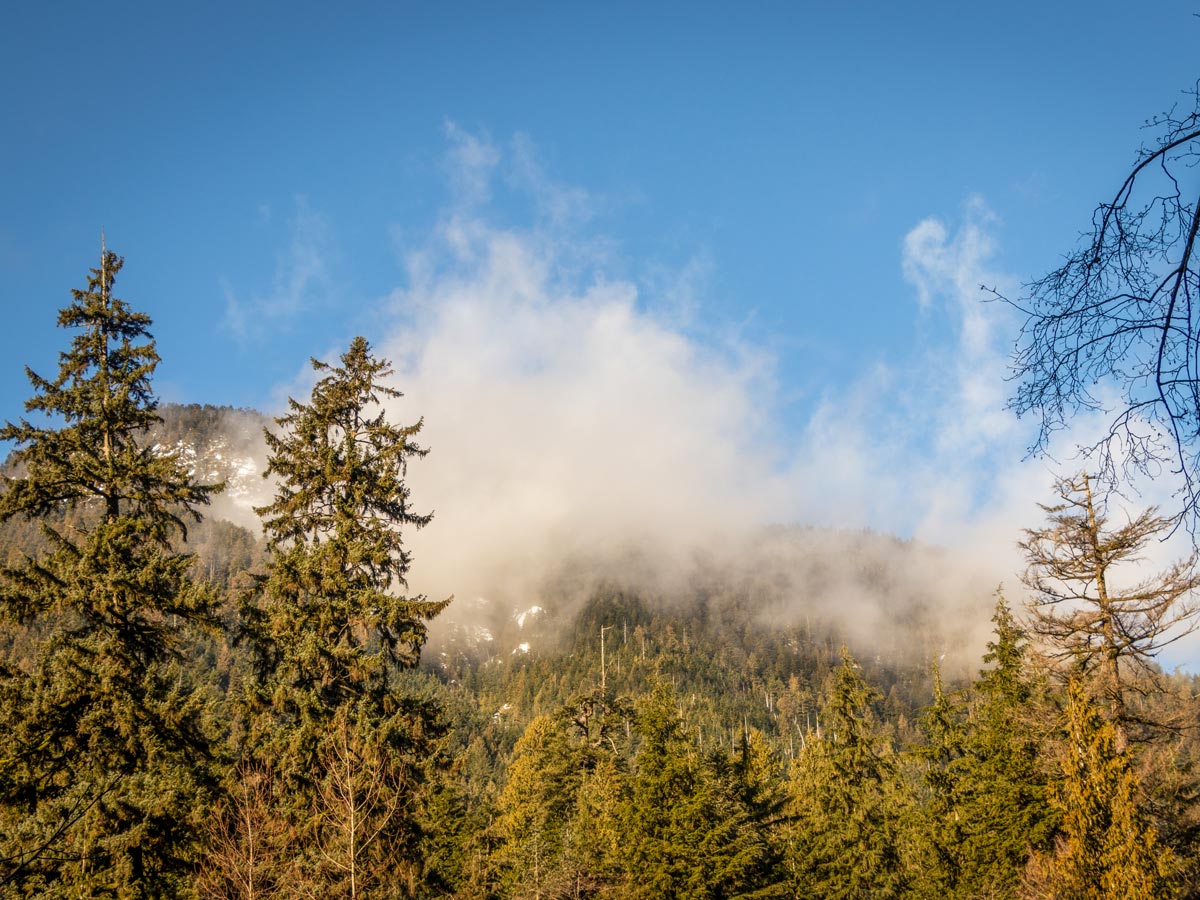
Finally, this hike is nearly impossible to complete during early summer, as creek crossings are still quite dangerous with snowmelt and there is snow up high. Wait until mid to the end of July to do this route, during the late summer days, the Hanes Valley hike is an absolute treat.
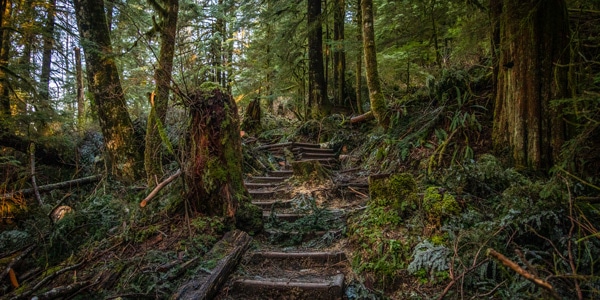
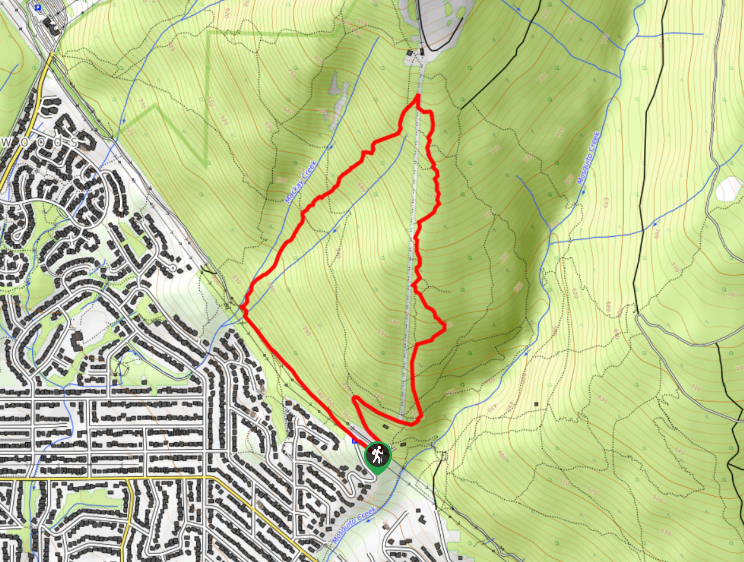
Start the Hanes Valley hike at the Lynn Headwaters Regional Park. We prefer starting here as it’s much easier and safer to go up the boulder field then down. From the northern end of the parking lot, follow the Lynn Loop Trail north. Here, you’ll cross abridge over Lynn Creek, and find a sign-board with a hiker registration box. Enter your name and trip details here (just in case).
The Hanes Valley trail starts off on an easy note, all you have to do is follow the well-marked trail north for about 1.1mi until you come to a junction and a trail sign. Keep heading north, and you’ll notice you’re now on the Cedar Mills Trail.
Continue along Cedar Mills for about 1.4mi, then veers on the Headwaters Trail at the Debris Chute. You’ll know you’ve arrived when you spot the North Shore Rescue gear cache. Walk up the loose rock until you find the single-track trail once again, and carry on left at the junction.
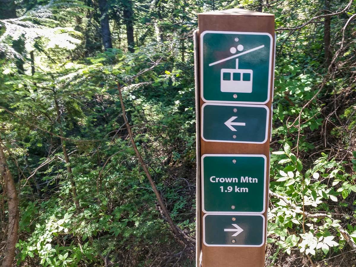
At this point, the trail changes into a more challenging climb. Keep heading north, following the numerous yellow trail markers. Continue for almost 1.6mi to the next junction where you can go right to Coliseum Mountain. At the next fork in the road, just a few minutes from the mountain, head right towards Norvan Falls. This is just a slight, 10-minute detour, but it’s worth the effort.
From the Norvan Falls junction, stay left, heading over a metal bridge and onward to Hanes Valley. You’ll notice the trail becomes slightly less defined, but there are plenty of tree markers to help guide you.
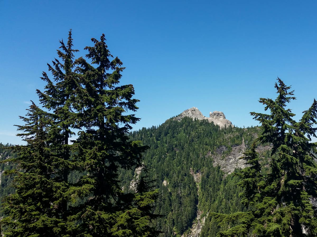
The next marked junction in the trail is hard to spot, so keep an eye out Head west (left) , staying on the Hanes Valley route. From this junction, press onwards for 2.5mi, until you arrive at the Crown Pass. It is important you go left at this junction, or you’ll be completely off track).
Continue until you reach a creek crossing. The creek can be impassable during heavy rainfall periods or during heavy snow-melt. Carefully cross, using logs and large boulders in the water.
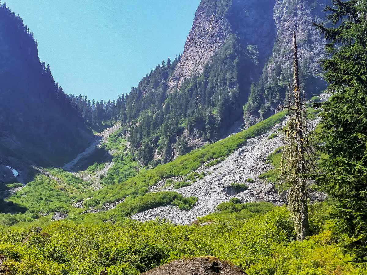
Once across the creek, you’ll notice the trail continues. There are a couple other creek crossings, but you will continue to follow the trail through the forest in the valley floor before coming out into the open. You’ll know you’re in the right spot when you see another North Shore Rescue gear cache and a helicopter landing pad. Stop here to rest up and enjoy a lunch break, the hardest part of the hike—the Hanes Valley itself—is next.
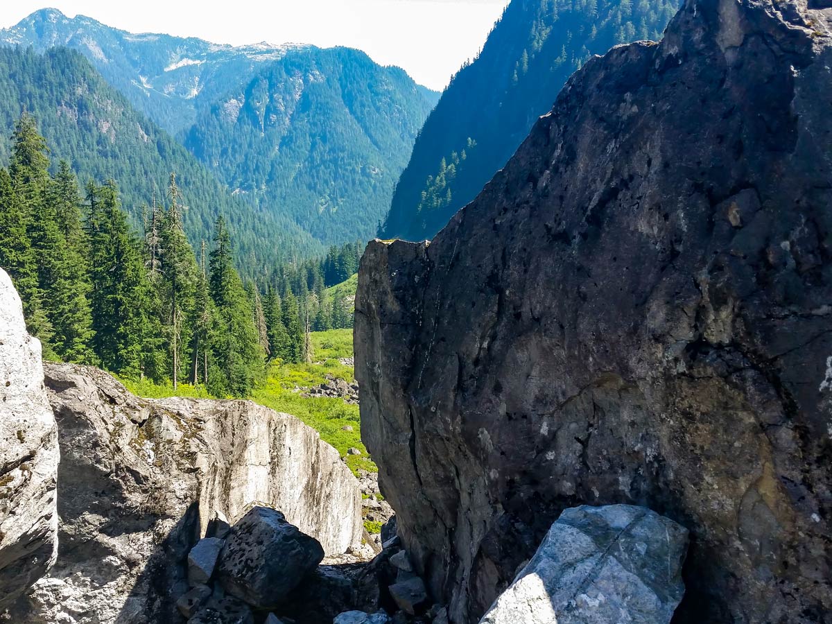
This next kilometer can be very dangerous, and if there is inclement weather, ice or snow covering the valley or fog it’s better to turn around. We like to wear a rock helmet as we proceed with caution for a kilometer up a steep, rocky boulder field. There (should) be orange tape to mark the trail, alongside some cairns but you’re basically going to go right up the gut of the valley, to the top of the rocky slope, gaining about 1640ft along the way.
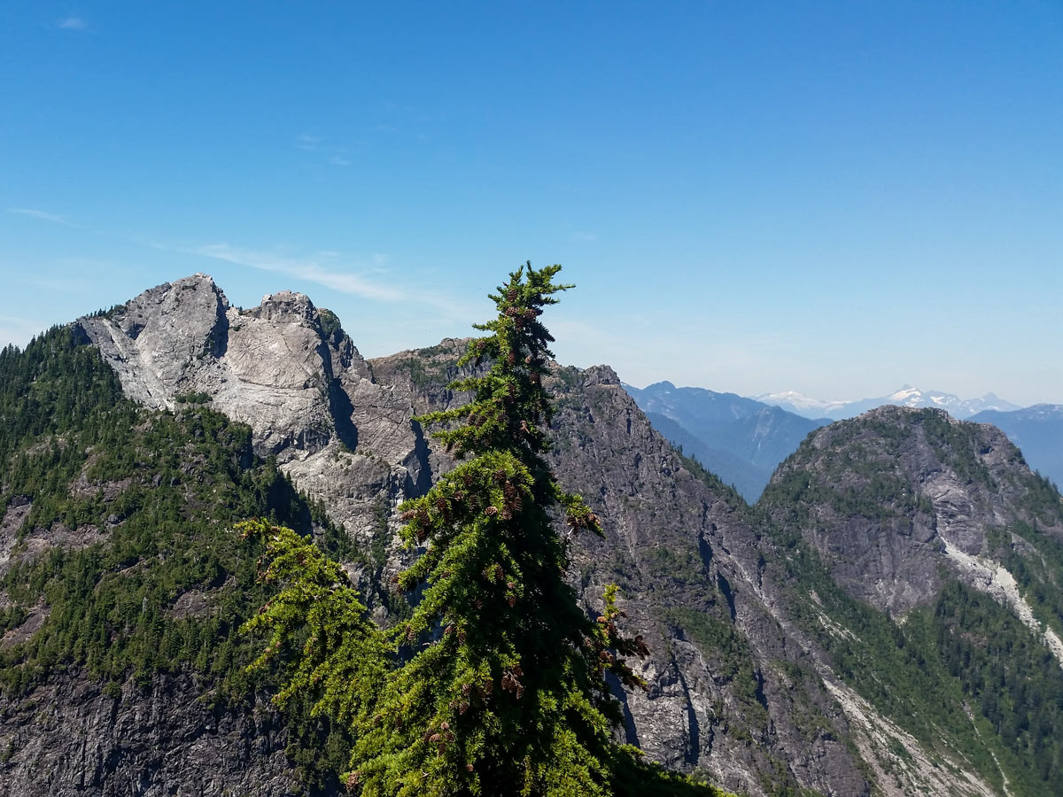
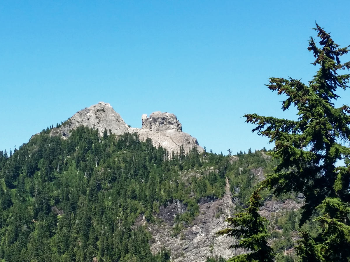
Once you reach the top of the boulder field, stop and take a rest here among the shaded trees. You’ve arrived at the Crown Pass and you’ll spot a sign here for directions. Head left up towards Grouse Mountain and push yourself further up more challenging and steeper trail. This section is very technical and there are chain-assisted sections. Once you’ve completed a 1.0 km straight uphill climb, you’ll have arrived at the trailhead for Goat Mountain. There’s about 2 km of hiking left, but the most difficult part is over.
From here, follow signs down to the resort via. The Alpine Trail for the most direct route.
Follow the Alpine Trail, passing the Peak Chair, to the grizzly bear enclosure and finally the Grouse lodge. Take a well-deserved rest here with a snack from the lodge, then catch the gondola down to the Grouse Mountain parking lot.
If you wish to continue further for a much longer hike, though be forewarned, there are few scenic spots past this point, continue along Old Mountain Highway (by following the dirt road under the Olympic Express chair) all the way back down to the Baden-Powell Trail. Once you hit the junction, finish the 30k loop following the trail back to the Lynn Headwaters Regional Park parking lot.
Insider Hints
The Hanes Valley Trail is one of the most challenging hikes in SW BC. Do not attempt this trail unless you are experienced, and comfortable with challenging trail conditions. In addition, we don’t recommend this trail in wet conditions, as the boulder field can become very slippery and the chance of injury greatly increased.
The full Hanes Valley Loop, starting and ending at Lynn Valley is 18.0mi+ with 4160ft of elevation gain.
If you don’t want to have 2 cars, plan to take transit. Transit should be relatively easy as there is a bus from Grouse to Lonsdale Quay (#236), and one from Lonsdale Quay right up Lynn Valley Road (#228) where your car will be waiting.
Bears are also relatively common on this trail. In other words, BE PREPARED ON THIS HIKE.
You can also do this hike from the top of Grouse down, but navigating down the boulder field is less safe than travelling up.

Similar hikes to the Hanes Valley hike
Hike to South Needle
The Hike to South Needle follows along an extension of the trail to Lynn Peak, passing by the viewpoint and…

Lynn Lake Trail
The Lynn Lake Trail is a lengthy hike through the Lynn Headwaters backcountry that is sure to get you off…
Mackay Creek Trail Loop
The Mackay Creek Loop Trail is an intense workout for hikers that love a steep incline along a short route.…
Noah Copper 4 years ago
The first half is easy, but it gets very challenging when it reaches the boulder field. I recommend that you go in groups. It will make the hike more fun.
Shad J. 4 years ago
Beautiful and tough. Be prepared to spend some time as some of this section can be quite challenging. Good for experienced hikers.
Brandon Houston 5 years ago
It's a very steep climb, but I prefer an uphill climb rather than a steep descend. Super challenging and super rewarding hike. Highly recommended.
Kenneth D. 5 years ago
It is one of my favorite hikes. It was a good adventure! Very strenuous, a little scary at some points. Be wary of the bears in the area as well.
Jessica G. 5 years ago
Decent view of the valley and Crown Mountain. Fun but challenging hike. Crossing the creek over the log was a thrilling experience. If you have a fear of heights, you might find them intimidating.
Suzane L. 5 years ago
Amazing hike in North Shore. The beautiful views definitely make up for the hard work. Bring lots of water because this is quite challenging.
Wade Atkinson 5 years ago
Nice circuit. There are tons of wonderful spots in the valley to take out of this world photos.
EthelB. 5 years ago
The view of the glistening lake was fantastic. The trail was terrible in my opinion though. Good hike to be done once.
loneranger 5 years ago
I was itching to try that 'earthing,' but I guess this was not the best trail to try it.
Amethyst S. 5 years ago
Most of the trail was easy. There are very few inclines and challenge. Perfect for amateur and avid hikers.