
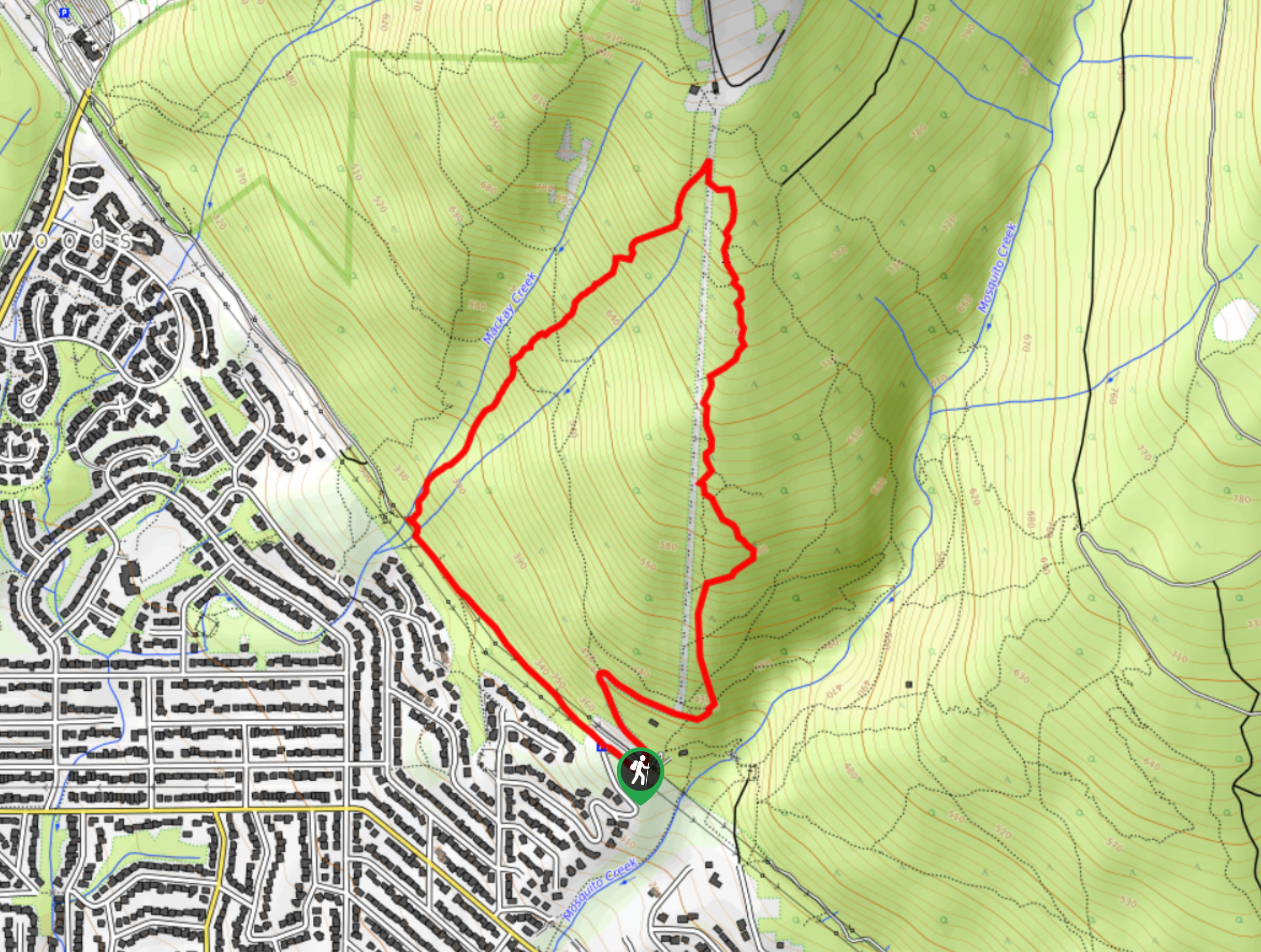
Mackay Creek Trail Loop
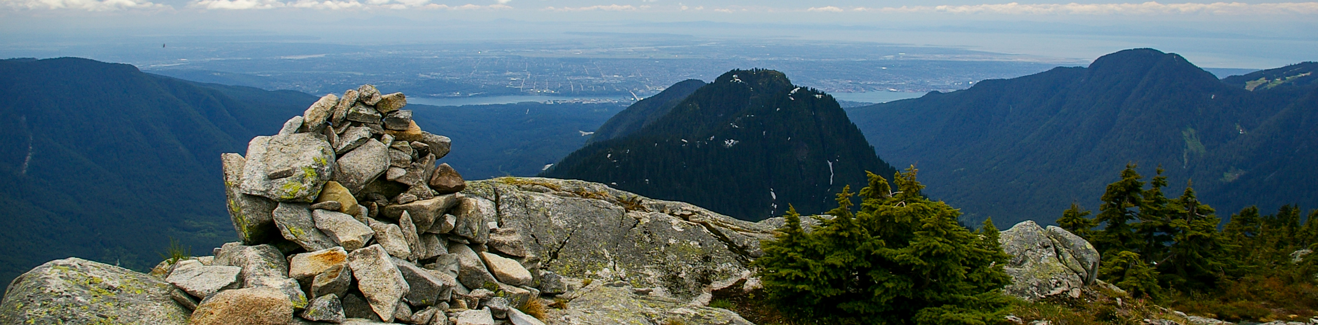
View Photos
Mackay Creek Trail Loop
Difficulty Rating:
The Mackay Creek Loop Trail is an intense workout for hikers that love a steep incline along a short route. Similar to the Grouse Grind or BCMC, this route works up the steep slope of Grouse Mountain, although the Mackay Creek Trail offers a loop for hikers to return along another path. If you’re a fan of short workout style hikes, this one just might be for you.
Getting there
To get to the parking area for the Mackay Creek Trail Loop from Vancouver, head west on Trans Canada Highway/BC-1 W, taking exit 17 for Westview Drive. Continue onto Delbrook Avenue and follow it for 1.1mi, turning left onto Montroyal Boulevard. After 2133ft, turn right onto Skyline Drive. Keep on Skyline Drive for 0.9mi as it winds its way uphill, and you will arrive at the parking area.

About
| When to do | May-November |
| Backcountry Campsites | No |
| Pets allowed | Yes - On Leash |
| Family friendly | Older Children only |
| Route Signage | Average |
| Crowd Levels | Low |
| Route Type | Circuit |
Mackay Creek Trail Loop
Elevation Graph
Weather
Mackay Creek Trail Loop Description
The Mackay Creek Trail Loop is a lightly-trafficked route along the slopes of Grouse Mountain that offers a similar style of hike to the Grouse Grind or the BCMC Trail. Unlike those trails, you will have the option to make the downhill return along another route, providing a change in the somewhat limited scenery.
This hike does contain one historical point of interest, the F-86 Jet Crash Memorial on the location where a US Airforce plane crashed in 1954. Other than that, the Mackay Creek Trail Loop doesn’t offer much in terms of scenic views, as the trail largely passes through tree cover. But what the trail lacks in scenery, it more than makes up for in the workout department, providing a gruelling uphill climb, packaged into a short distance that is sure to make you sweat.
Similar hikes to the Mackay Creek Trail Loop hike
Hike to South Needle
The Hike to South Needle follows along an extension of the trail to Lynn Peak, passing by the viewpoint and…

Lynn Lake Trail
The Lynn Lake Trail is a lengthy hike through the Lynn Headwaters backcountry that is sure to get you off…

Old Buck and Bridle Trail Loop
The Old Buck and Bridle Trail Loop is an amalgamation of the Old Buck, Bridle, and Baden Powell trails that…
Comments