St. Mark’s Summit hike
View Photos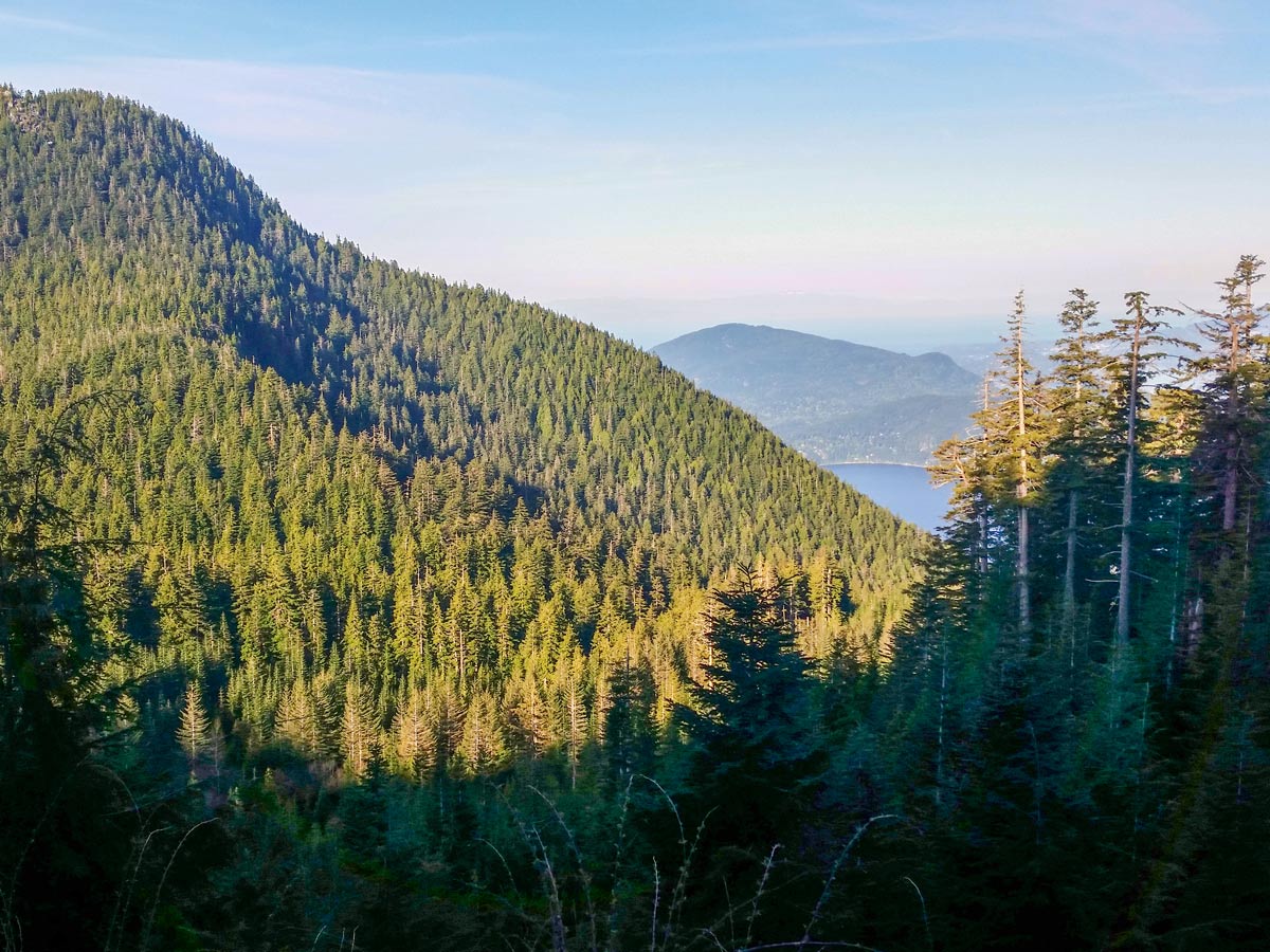
St. Mark’s Summit hike
Difficulty Rating:
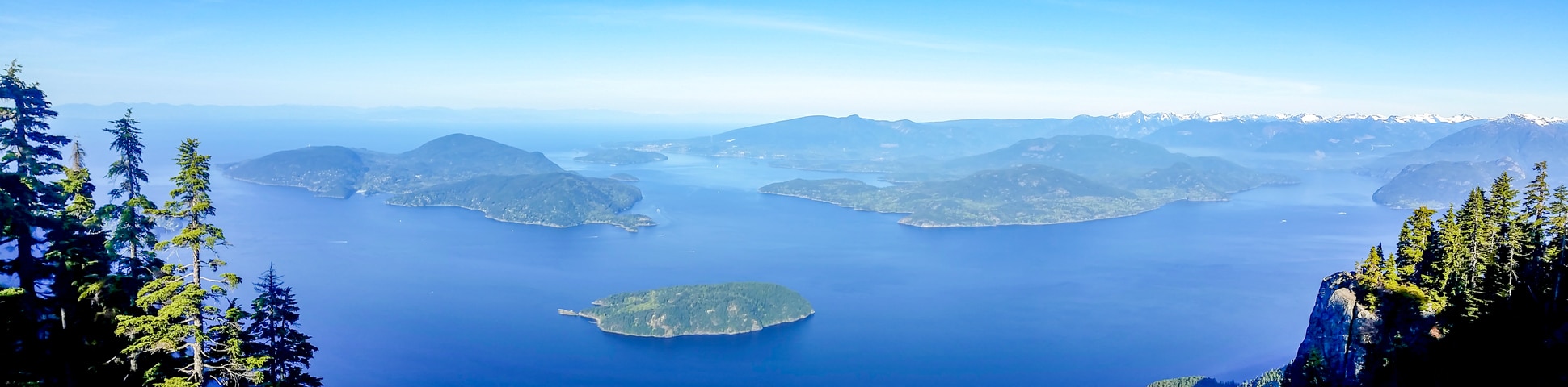
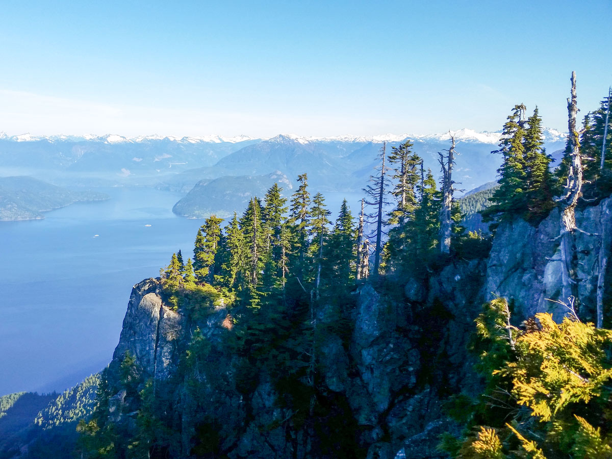
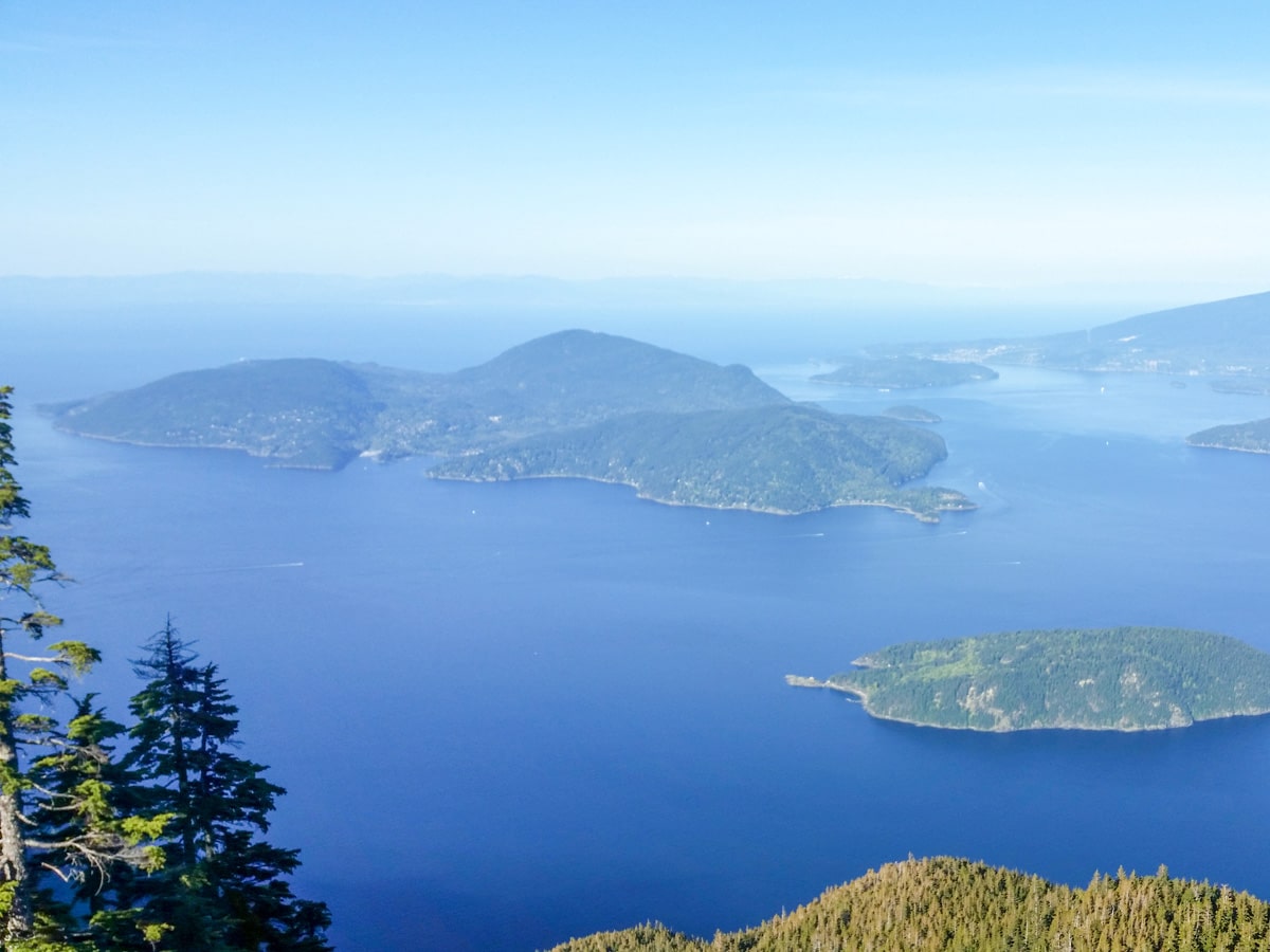
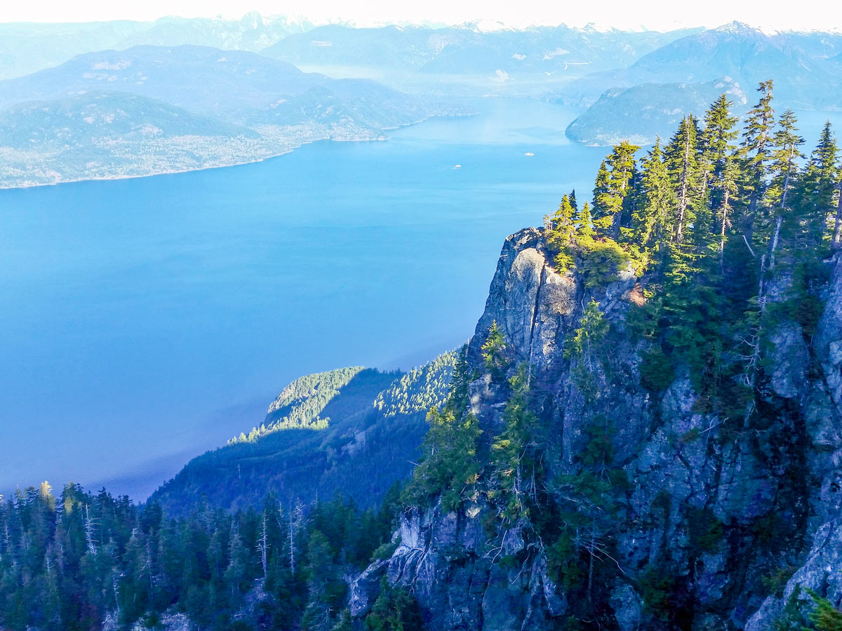
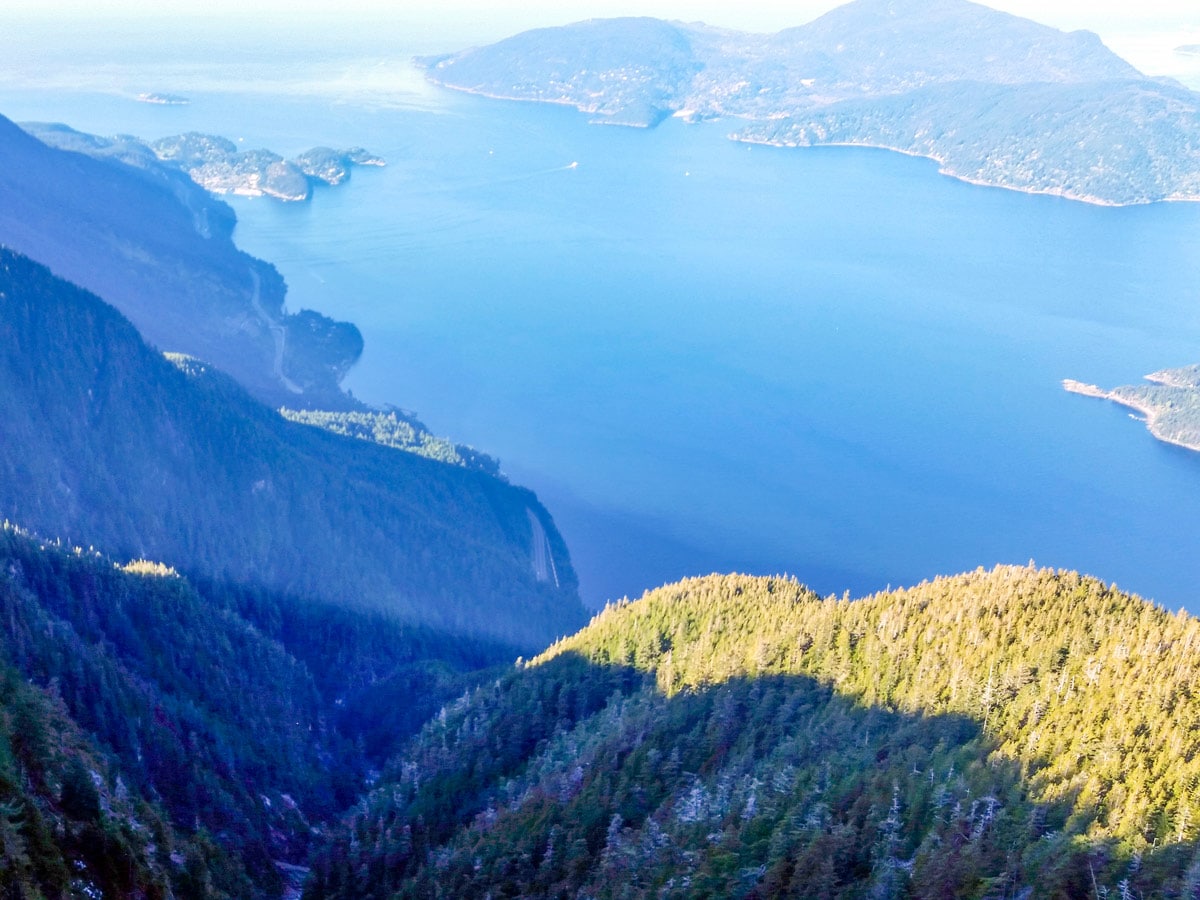
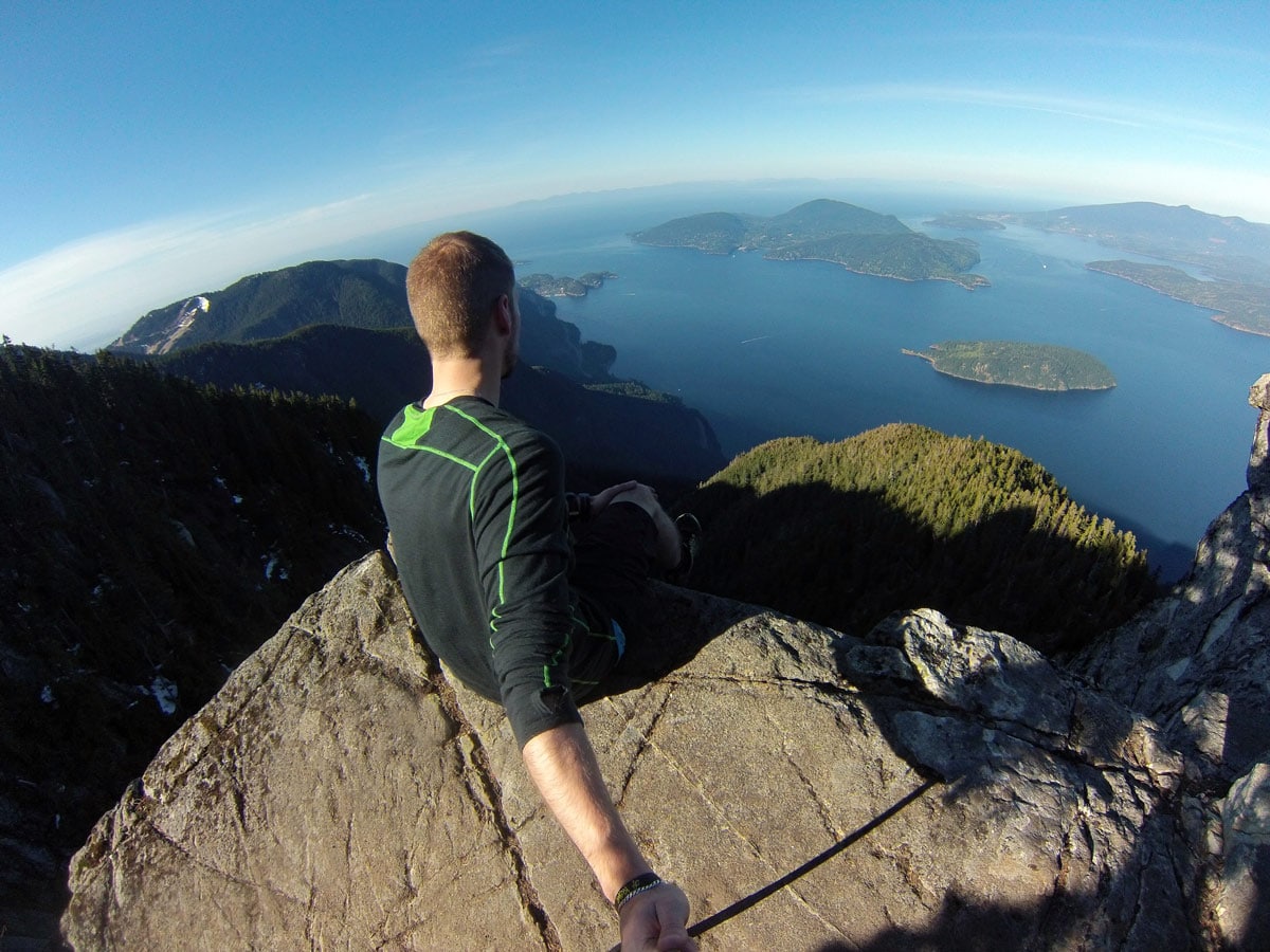
St. Mark’s Summit gives hikers unparalleled views of the beautiful Howe Sound. Hiking to Saint Mark’s Summit can be a great hike to complete in one afternoon. From the peak, you can see the islands of Howe Sound, the Tantalus Range and even Vancouver Island.
Getting there
The hike to Saint Mark’s Summit starts from the Cypress Mountain parking lot. Take Highway #1 West and take Exit #8 onto Cypress Bowl Rd. Follow this highway for 9.3mi to the downhill ski parking lot.

About
| When to do | July to October |
| Backcountry Campsites | No |
| Pets allowed | Yes - On Leash |
| Family friendly | No |
| Route Signage | Average |
| Crowd Levels | Moderate |
| Route Type | Out and back |
St. Mark’s Summit
Elevation Graph
Weather
Route Description for St. Mark’s Summit
Begin the St. Mark’s Summit hike in the Cypress Mountain Ski Hill parking lot and walk towards the main ski lodge and the large Olympic rings. In front of the lodge, you will see two separate trail markers. Take the Howe Sound Crest Trail closest to the Lion’s Express chairlift.
It should be noted that the markers on this trail rarely mention St. Mark’s Summit. Instead, follow the trails marking the Howe Sound Crest Trail and The Lions.
Towards the start of the trail, you’ll notice a marker. Hang a right here, and you’ll immediately see the square, orange markers in the trees, which you will follow along the route to St. Mark’s Summit.
Continue until you find yourself on a ski run and keep tight to the left-hand side, always following those orange markers. The trail splits near a green water tower, until you spot a sign for ‘Howe Sound Crest Trail West’ or ‘Howe Sound Crest Trail East’. As both trails are very similar, it doesn’t matter which you choose and they eventually link back up again.
About 0.6mi into the hike, arrive at a small service road and another trail marker. Head left following the road, in the direction of The Lions and Bowen Lookout. Once the service road splits right, hop off the trail onto a flat, maintained trail, you should very quickly hit an orange marker letting you know you’re going the right way.
Stop when you reach a large Cypress Provincial Park map. If you took the Howe Sound Crest Trail ‘West’ at the water tower, this is where you will join back up with the East trail. Very soon after this junction there is a spectacular view of The Lions through a clearing in the trees.
Press onwards into a wildflower meadow, where a tiny bridge leads you over Montizambert Creek. From the point onwards, the trail steepens as you navigate some tricky switchbacks. At the 3.0 km mark, the trail flattens, but you’ll find yourself on an obstacle course, avoiding roots and rocks. Be sure to take your time.
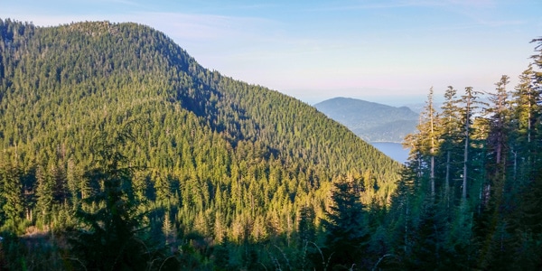
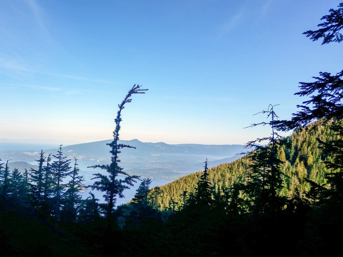
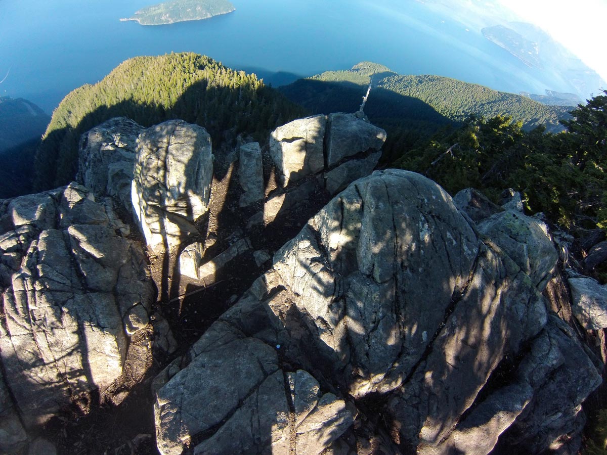
Once you find yourself on a ridge, stop to take in partial views of Howe Sound to the left, and mountains to the right. Keep going along the trail, and pump yourself up to tackle the most difficult part of the St. Mark’s Summit.
Push up the steep incline and watch out for muddy, slippery spots. You’re so close now, keep going until you reach the Saint Mark’s Summit. The trail levels out and the awe-inspiring great Lions lay before you.
Here, find the most spectacular views of Howe Sound, better than any other trail in the North Shore area.
From St. Mark’s Summit, you can see all the Howe Sound Islands and the glaciers of the Tantalus Range.
To your right, you will notice a rocky outcrop. For the perfect photo op, very carefully walk down to reach a clearer look at Horseshoe Bay and the Sea to Sky highway.
Make sure you take time to rest and soak up the sights before retracing your steps to the parking lot. If you want a quick detour, take the junction to Bowen Lookout and returning via the Howe Sound Crest Trail West.
Insider Hints
If you were to continue on northward from St. Mark’s Summit along the Howe Sound Crest Trail, you would reach Mount Unnecessary and The Lions for a full-day hike.
Depending on the season, the St. Mark’s Summit hike can be wet and muddy. Be sure to bring appropriate footwear for a safe climb.

Similar hikes to the St. Mark’s Summit hike

Lynn Lake Trail
The Lynn Lake Trail is a lengthy hike through the Lynn Headwaters backcountry that is sure to get you off…

Old Buck and Bridle Trail Loop
The Old Buck and Bridle Trail Loop is an amalgamation of the Old Buck, Bridle, and Baden Powell trails that…

Goldie and Flower Lake Loop
The Goldie and Flower Lake Loop is a short trail that makes its way through the peaceful terrain surrounding these…
David L. 4 years ago
nice walk in the park with a whole bunch of semi hikers. beautiful view for the little elevation gain.
Shad J. 4 years ago
It requires very little time and minimal effort. Finished it in 4 good hours. Including some stops to take pictures and rest.
Eric Parats 4 years ago
Beautiful but not that popular among other hikers. Don't forget to bring bear spray as there are some bear sightings recently.
Nathan R. 5 years ago
Amazing hike. Spent about an hour at the peak enjoying the view. The viewing area is a bit small and It can get very busy sometimes. Make sure to go on a clear day to enjoy the unobstructed views.
Jude L. 5 years ago
Must-do hike in North Shore. There are lots of rocks, tree roots, and it is incredibly muddy, so proper footwear is highly recommended.
Heinrich P. 5 years ago
Challenging trail with tricky switchbacks. Nice late afternoon hike.
Jessica G. 5 years ago
The trail has lots of snowy and very muddy sections. It's not a very strenuous hike but some parts are slippery and covered in ice. Bringing some microspikes will help you along the way.
Suzane L. 5 years ago
Moderately easy hike on North Shore. It's pretty easy and simple. The view is worth definitely worth it.
Nadeem Medulla 5 years ago
This is a tough hike, more so than I thought. About 4-6 hours depending on your fitness level. The view at the top was nice, but I won't do it again.