Hike to Eagle Bluffs via Black Mountain
View Photos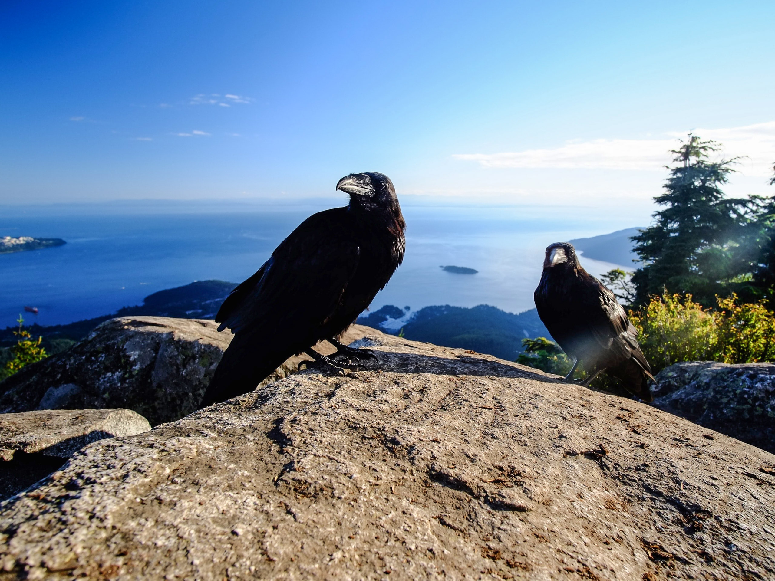
Hike to Eagle Bluffs via Black Mountain
Difficulty Rating:
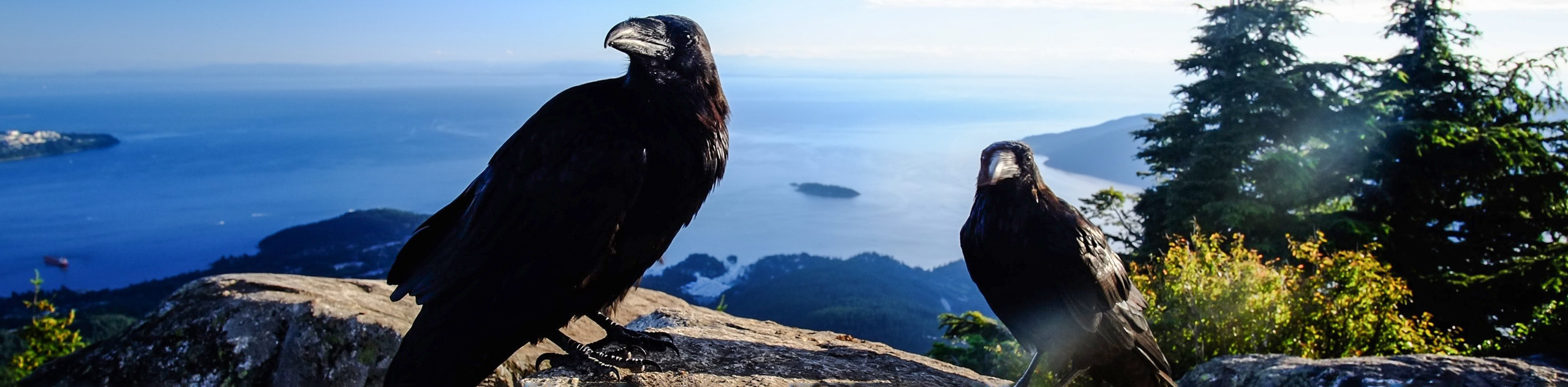
The Eagle Bluffs are recognized as one of the best lookouts over Vancouver’s North Shore, and can be easily accessed from the Cypress Mountain downhill ski area along the Black Mountain Trail. Highlights along the route include the North and South summits of Black Mountain, Cabin and Owen lakes, and of course the stunning vantage point from the Eagle Bluffs themselves. Here you can find the most beautiful views of Eagle Harbour, Howe Sound, and Point Roberts.
Getting there
To get to Eagle Bluffs, drive westbound on Highway 1 and take the right exit for Cypress Bowl Road. Continue on Cypress Bowl Road for 9.3mi until you reach the Black Mountain Lodge. There will be a parking lot on the left-hand side.

About
| When to do | June-November |
| Backcountry Campsites | No |
| Pets allowed | Yes - On Leash |
| Family friendly | Older Children only |
| Route Signage | Average |
| Crowd Levels | Moderate |
| Route Type | Out and back |
Hike to Eagle Bluffs via Black Mountain
Elevation Graph
Weather
Hike to Eagle Bluffs via Black Mountain Description
While there are a few different options for getting to the Eagle Bluffs, the most common is to access the Black Mountain trail from the Cypress Mountain Downhill ski area. The route will be well marked along the way, with an approximate completion time of 4 hours to summit the south peak of Black Mountain, reach the Eagle Bluffs, and return to the car park.
Setting off from the far northwest end of the Cypress Mountain parking lot, walk past the lodge on your left and head toward the large wooden sign that has a trail map for the Cypress Mountain area. From here, head toward the Eagle Express Quad chairlift, which will have a BC Parks sign underneath that will direct you to the trail for Howe Sound and Black Mountain.
Following along the gravel trail, you will quickly come upon the first junction. Follow the path left to start off on the Black Mountain trail. The beginning of the trail is an easy hike along a very flat path, although it begins to increase in steepness as you gain elevation next to the Maelle Ricker’s Gold Ski Run. The trail in this section widens a bit to help hikers navigate the steep terrain, and transitions into a series of switchbacks that make it an easy climb.
After making your way up the hill, there will be a small lake on your left. At the junction just beyond the lake, make your way right along the path to begin a gradual incline to Cabin Lake. Here you will come upon another junction, with the left trail leading to the Eagle Bluffs via the Baden Powell Trail and the right heading to Cabin Lake/Black Mountain. Head right on the trail to reach another junction just before Cabin Lake.
At this point of the trail, you can continue on the route to the Eagle Bluffs by going left, or you can take a short detour (820ft) to the right to reach the north summit of Black Mountain. This brief climb will give hikers a spectacular view from Yew Lake lookout and will allow you to spot the Tantalus Mountain Range to the north, The Lions, and Mount Strachan.
Tracing back down the trail, you will find yourself back at the trail junction at Cabin Lake. This is a popular spot for hikers to take a quick rest or snack break, and in the summer months, you can brave the cool waters for a quick swim. When you’re ready to continue on from Cabin Lake, head down the boardwalk in the direction marked out for Black Mountain.
Within a few minutes, you will come upon another junction. Follow this to the right to traverse the south summit of Black Mountain, from which you can enjoy a panoramic view of the surrounding area from an elevation of 3993ft. From this point, there is only 1.2mi until you reach the Eagle Bluffs. Continue following the trail as it transitions into a forested area, being careful to watch your footing, as the trail in this section of the hike is covered with roots and can be quite technical. As you work your way through this forested section, you will pass by the picturesque Owen and Cougar lakes on your left, continuing on the final stretch before reaching the Eagle Bluffs. There will be a junction with a trail to the right leading toward Donut Bluff. Ignore this trail, as it is a fairly steep and challenging detour to a different lookout, and continue straight on the trail.
After a few minutes, the trees will begin to clear, and you will arrive at the rocky outcrop of the Eagle Bluffs. From this breathtaking vantage point of 3589ft, hikers will be able to take in sweeping views of the surrounding area, including Eagle Harbour, Point Roberts, Horseshoe Bay, and the Gulf Islands. This is a perfect opportunity to break for lunch while watching the ships navigate the waters of English Bay to the south.
To start your return journey, head back along the same trail that you took to reach the Eagle Bluffs, as it will lead you back to the Cypress Mountain parking lot. For hikers that would like a change of scenery on their return hike, there is a junction immediately after you pass by Owen Lake. Taking the trail to the left will retrace the hike over the south summit of Black Mountain, while following it to the right will add a new loop to the trail, passing by Theagill and Sam lakes. Following this added loop on the return journey will bring you back to the junction just before Cabin Lake/Black Mountain, and taking the trail to the right will lead you back down along the ski hill and to the parking lot.
Hiking Trail Highlights
Howe Sound
Howe Sound is a triangular body of water that opens up into the Strait of Georgia and stretches up 26.1mi northeast, where it reaches a head at Squamish. Historically, the area is of great importance to the Squamish and Shishalh Indigenous peoples that had established communities along its shores and travelled its waterways for thousands of years. The area was first explored by the Spanish in 1791 and was named Boca del Carmelo by the explorer José María Narváez. Shortly after, in 1792, George Vancouver renamed the sound after British Admiral Richard (Earl) Howe.
Tantalus Range
The Tantalus Range is a subrange of the Pacific Ranges of the Coast Mountains. The name of the range has its roots in Greek mythology, where Tantalus was doomed to the agonizing fate of being half-submerged in water while he was “tantalized” by a piece of fruit that was eternally dangled just out of reach. It is said that a local climber across the Squamish River was similarly tantalized by the sights of the spires and icefalls along the range, thus providing it with its name. To the local Squamish people, the Tantalus range is known as Tsewlíx.
Insider Hints
Wear proper hiking footwear, as sections near the lakes can be very wet and muddy. Other sections of the trail are covered in roots and can also become slippery.
The trail can become covered with fairly deep snow in winter months. Check whether portions of the trail are open prior to setting out for your hike.
Bring bug spray in warmer weather, as mosquitos frequent the areas around the lakes.
Bring a swimsuit for a chilly dip in Cabin Lake!
Similar hikes to the Hike to Eagle Bluffs via Black Mountain hike

Lynn Lake Trail
The Lynn Lake Trail is a lengthy hike through the Lynn Headwaters backcountry that is sure to get you off…

Old Buck and Bridle Trail Loop
The Old Buck and Bridle Trail Loop is an amalgamation of the Old Buck, Bridle, and Baden Powell trails that…

Goldie and Flower Lake Loop
The Goldie and Flower Lake Loop is a short trail that makes its way through the peaceful terrain surrounding these…
Comments