Flint and Feather Trail
View Photos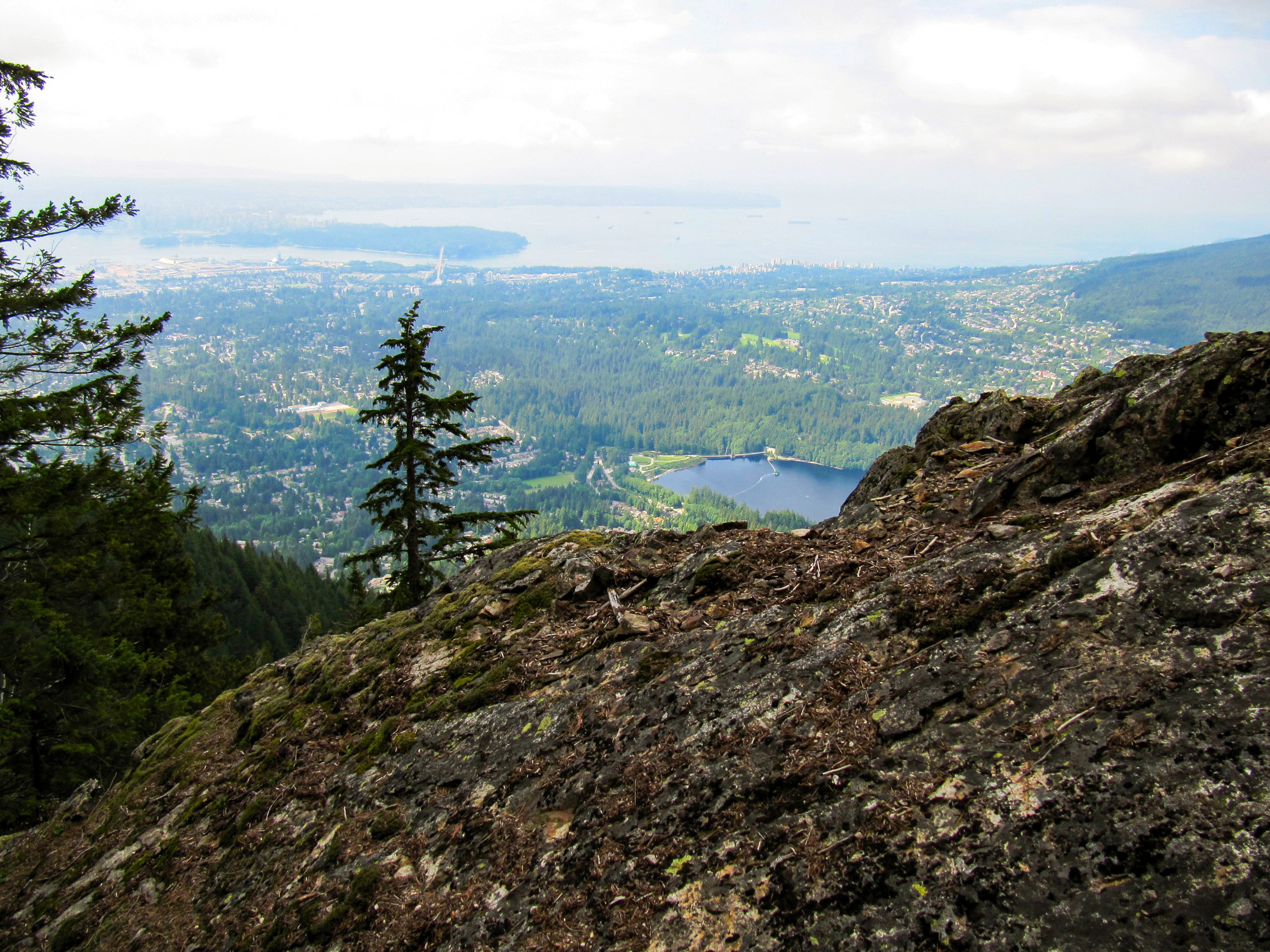
Flint and Feather Trail
Difficulty Rating:
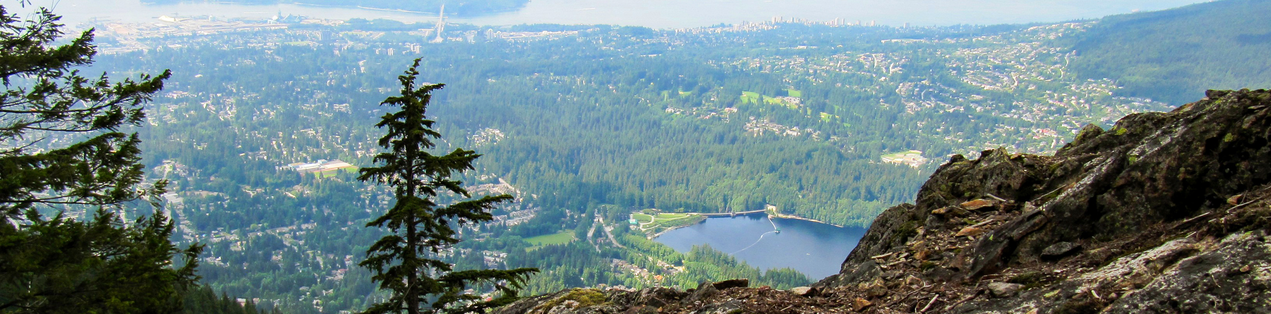
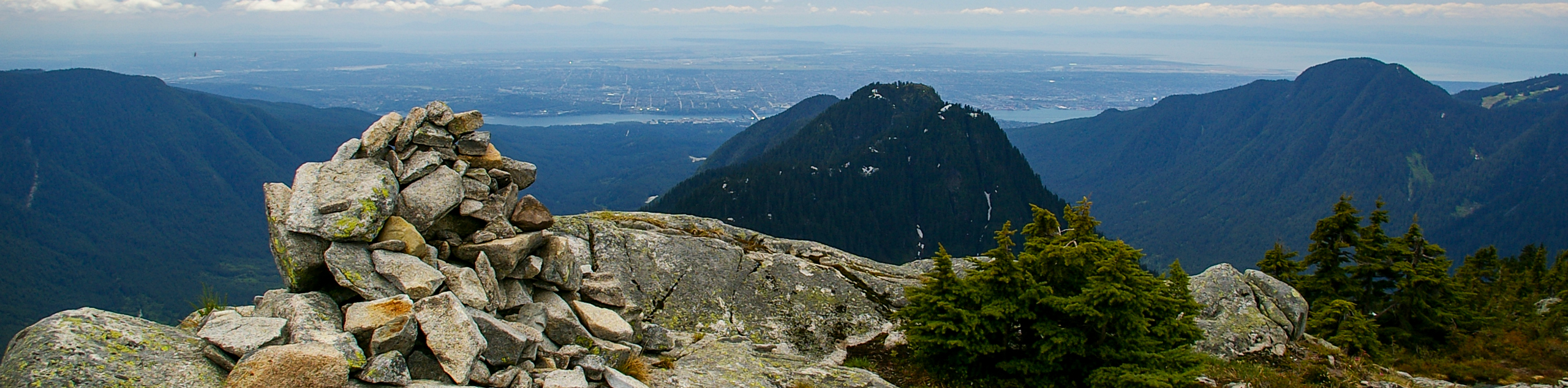
Sandwiched between the Grouse Grind and the BCMC Trail is the Flint and Feather Trail, an unmaintained, poorly-marked trail that is every bit as tough as its neighbours… and then some. Characterized by a steep slope and rugged terrain, this hike is best left for fair-weather days when the risk of slipping is greatly reduced. Enjoy the views from the top of Grouse Mountain, knowing you’ve completed the trail less travelled.
Getting there
To get to the Flint and Feather trailhead from Vancouver, take the Trans Canada Highway/BC-1 West across Ironworkers Memorial Bridge. Take the exit for Capilano Road, turning right and following along Capilano Road for 2.8mi, where you will reach the Grouse Mountain parking lot.

About
| When to do | June-October |
| Backcountry Campsites | No |
| Pets allowed | No |
| Family friendly | No |
| Route Signage | Poor |
| Crowd Levels | Moderate |
| Route Type | Out and back |
Flint and Feather Trail
Elevation Graph
Weather
Flint and Feather Trail Description
The Flint and Feather Trail packs an elevation punch in a short distance, climbing 2595ft in just 2.1mi. Unlike its neighbours, the Grouse Grind and BCMC Trail, this trail is completely unmaintained, making it far more rugged and dangerous. Make sure that you wear proper hiking footwear and are in good enough physical fitness to scramble up the steep incline.
The trailhead starts along the BCMC Trail, making use of its lower half before breaking away on a separate trail that runs between the BCMC and the Grouse Grind. Look for a flat tree stump that is burned on the front around trail marker #8 of the BCMC and make a hard left turn onto the unmarked trail. If you see a rectangular-shaped rock, you know you are on the trail.
Continue pushing uphill, conquering the steep slope and weaving through a series of switchbacks. The rugged nature of this route makes the trail a bit sketchy in places, significantly reducing the amount of foot traffic along it. After reaching the top of the trail, you will be rewarded with stunning views from atop Grouse Mountain. From here, you can choose to return back down the trail or take the BCMC, feeling accomplished at having completed the Flint and Feather Trail.
Similar hikes to the Flint and Feather Trail hike
Hike to South Needle
The Hike to South Needle follows along an extension of the trail to Lynn Peak, passing by the viewpoint and…

Lynn Lake Trail
The Lynn Lake Trail is a lengthy hike through the Lynn Headwaters backcountry that is sure to get you off…

Old Buck and Bridle Trail Loop
The Old Buck and Bridle Trail Loop is an amalgamation of the Old Buck, Bridle, and Baden Powell trails that…
Comments