Lynn Valley Link Trail
View Photos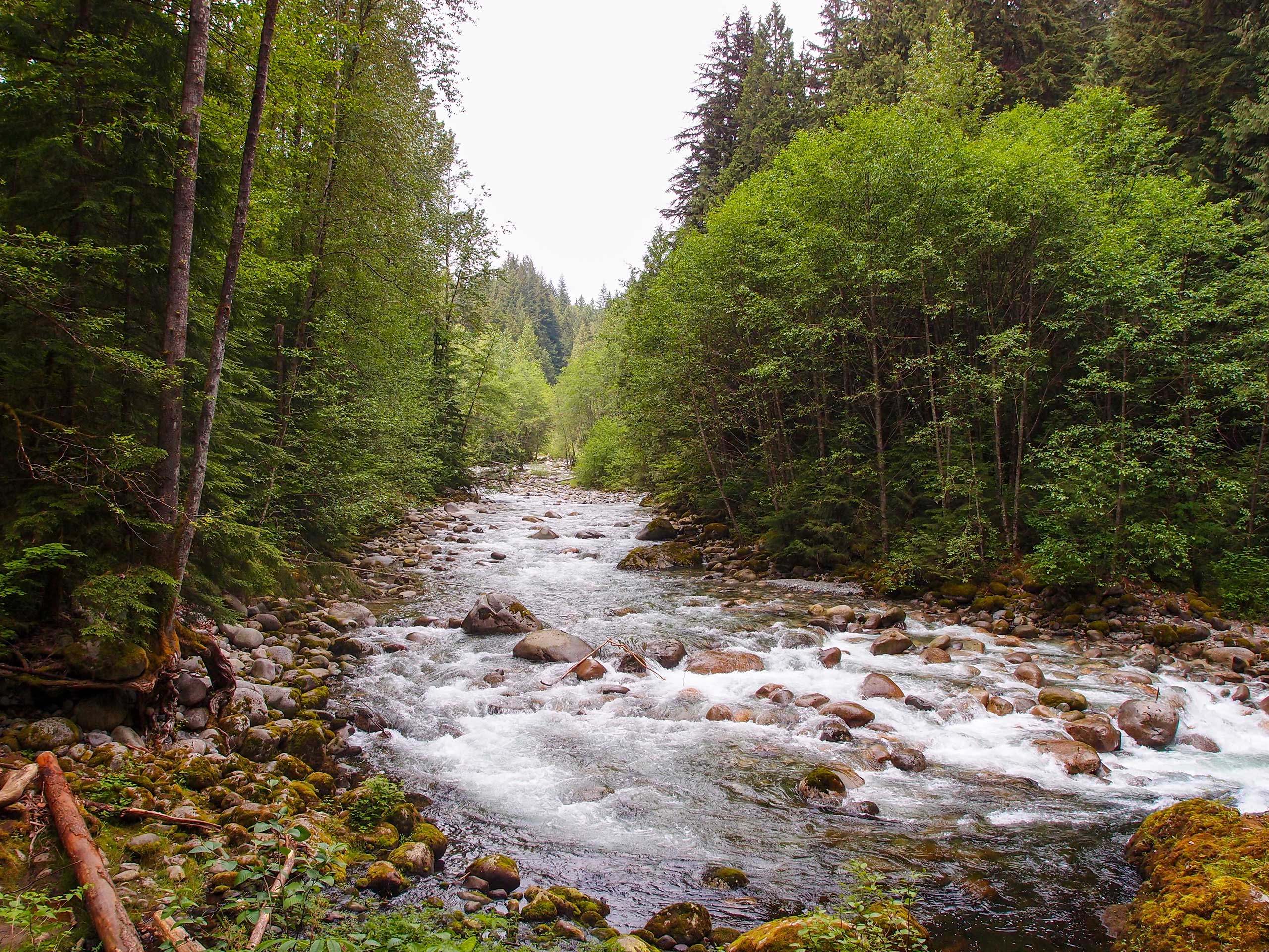
Lynn Valley Link Trail
Difficulty Rating:
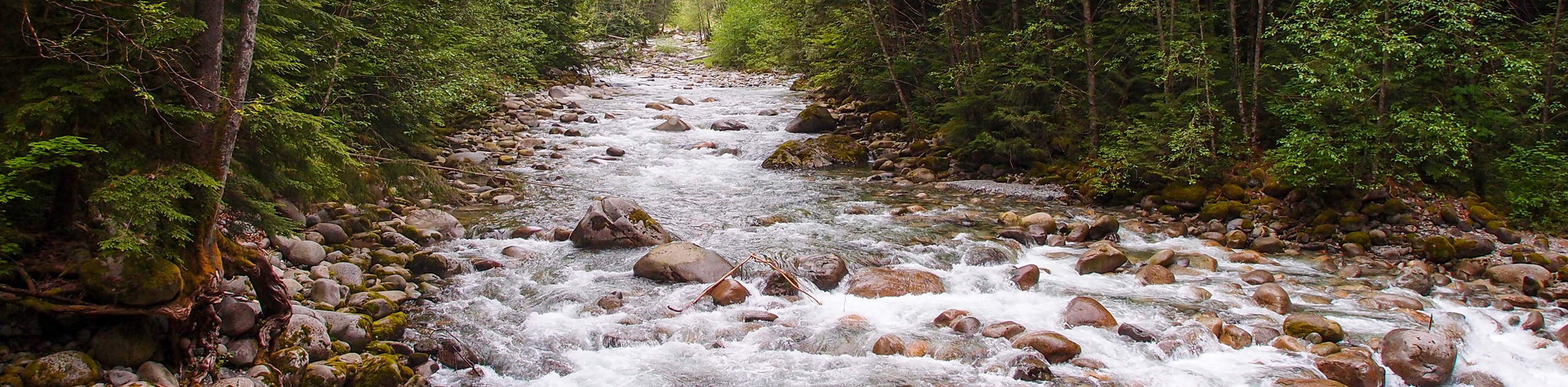
The Lynn Valley Link Trail is a great day hike to experience the city while making use of the existing trails that spread throughout the Lynn Canyon area. Set off on an urban hike that climbs uphill before entering the tree cover, traversing the Baden Powell trail on its way to Lynn Canyon. From here, experience the attractions of Lynn Canyon Park before making your way along Lynn Creek to the starting trailhead.
Getting there
To get to the Lynn Valley Link trailhead at Inter-River Park from Vancouver, head north on Trans Canada Highway/BC-1 W, crossing over Ironworkers Memorial Bridge. Take exit 22B for Mount Seymour Parkway and continue on to Lillooet Road. Follow this for 2461ft and turn left onto Inter River Park Road before making a right turn at Premier Street to arrive at the parking area.

About
| When to do | Year-Round |
| Backcountry Campsites | No |
| Pets allowed | Yes - On Leash |
| Family friendly | Older Children only |
| Route Signage | Average |
| Crowd Levels | Moderate |
| Route Type | Circuit |
Lynn Valley Link Trail
Elevation Graph
Weather
Lynn Valley Link Trail Description
The Lynn Valley Link Trail is a 8.8mi loop in North Vancouver that connects at five different trailheads: Lynn Canyon Park, Inter River Park, Kirkstone Park, Princess Park, and the Fromme Mountain parking lot. This trail utilizes portions of existing routes, such as the Baden Powell and Dempsey trails, to create a unique hike that combines urban and natural elements.
Due to its unique composition, this trail has many access points from which you can start your hike. Beginning at the Inter-River Park and moving clockwise, the trail takes you over Lynn Creek on a path through the city that heads northwest. Reaching Braemar Road, the trail climbs uphill through the forest, utilizing the Dempsey and Baden Powell trails before turning south to skirt along the banks of Lynn Creek.
The remainder of the trail runs along the creek toward Lynn Canyon Park. Here, it makes use of the Lynn Valley Suspension Bridge and the crossing at Twin Falls before continuing back down to its conclusion at Inter-River Park.
The journey around the Lynn Valley Link Trail is a great way to get out and spend an afternoon exploring the urban and natural landscapes that Vancouver has to offer. Highlights along the trail, such as the Lynn Valley Suspension Bridge, Twin Falls, and the Lynn Canyon Ecology Centre, make this easy day hike all the more exciting.
Similar hikes to the Lynn Valley Link Trail hike

Lynn Lake Trail
The Lynn Lake Trail is a lengthy hike through the Lynn Headwaters backcountry that is sure to get you off…

Old Buck and Bridle Trail Loop
The Old Buck and Bridle Trail Loop is an amalgamation of the Old Buck, Bridle, and Baden Powell trails that…

Goldie and Flower Lake Loop
The Goldie and Flower Lake Loop is a short trail that makes its way through the peaceful terrain surrounding these…
Comments