
Coliseum Mountain hike
View Photos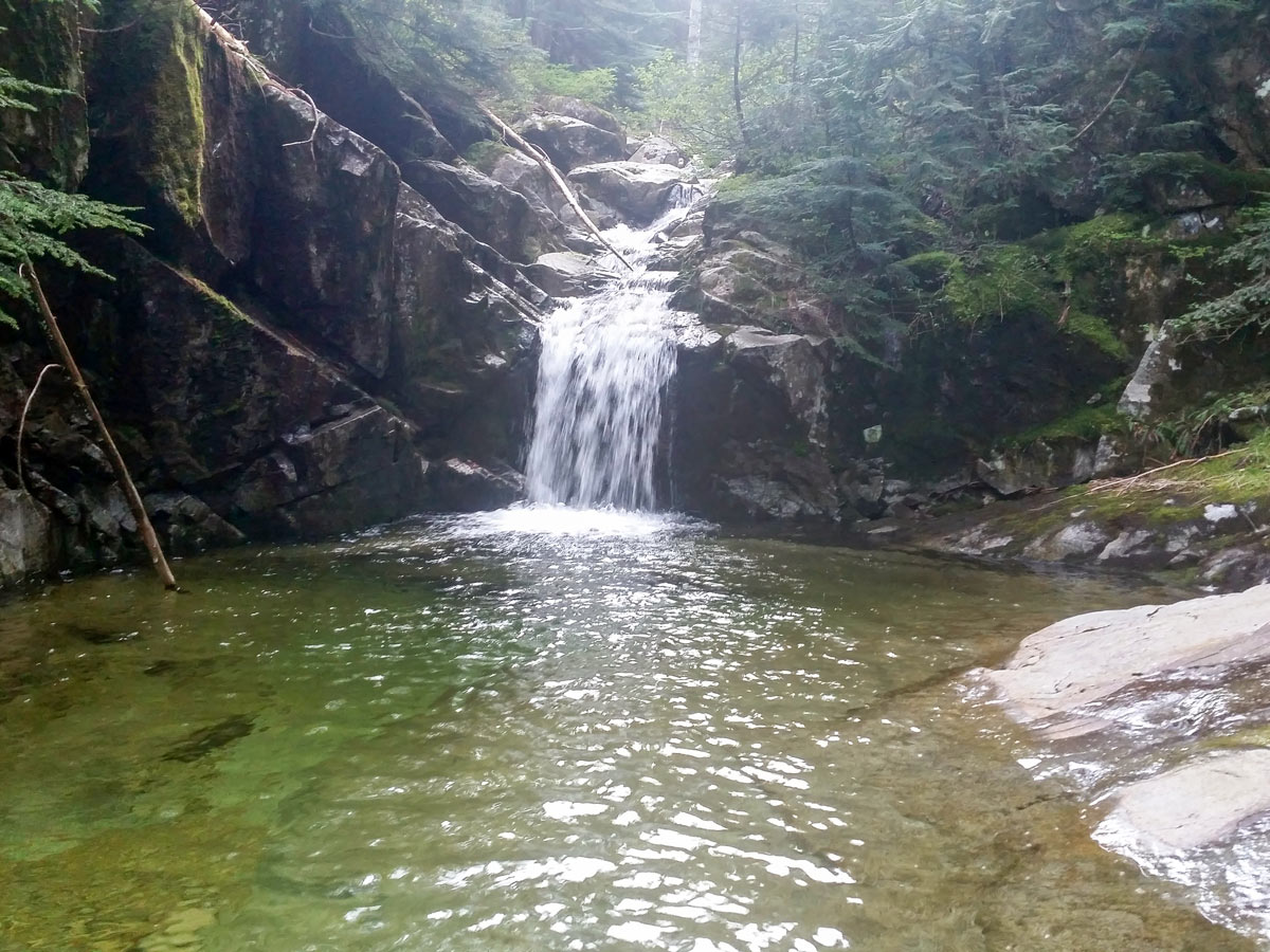
Coliseum Mountain hike
Difficulty Rating:
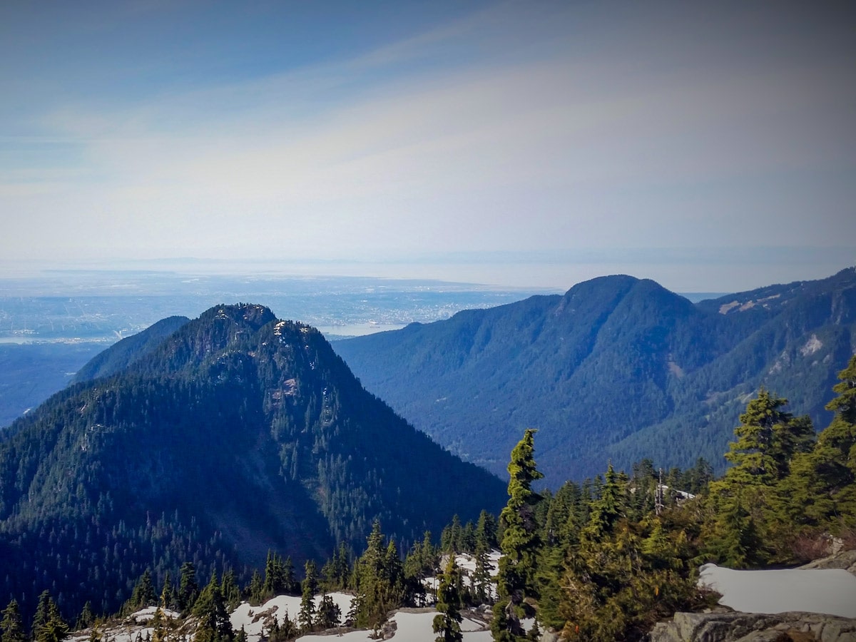
Prepare for a demanding day hike at the Coliseum Mountain. But those who dare this hike will reap high rewards, with striking, panoramic views overlooking Mount Burwell, Burwell Lake and Cathedral Mountain to the north.
Getting there
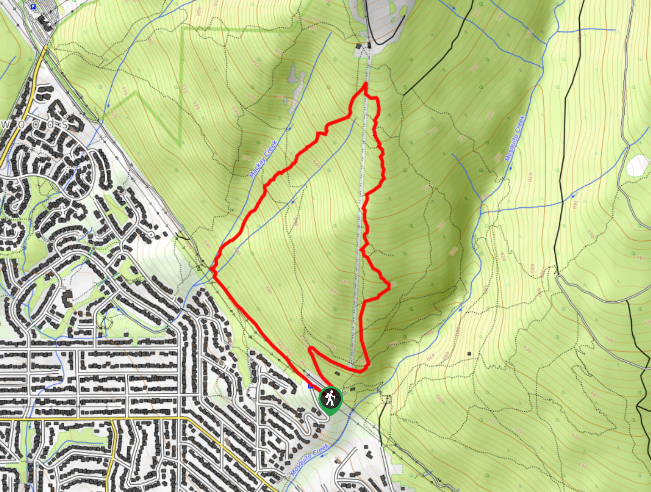
From Highway #1 West take the Lynn Valley Road (exit #19 north) in North Vancouver. Follow Lynn Valley Road all the way up into the Lynn Headwaters Regional Park parking lots. The gate hours vary with the season, so make sure you’re aware of the closing time.

About
| When to do | July to October |
| Backcountry Campsites | No |
| Pets allowed | Yes |
| Family friendly | No |
| Route Signage | Average |
| Crowd Levels | Moderate |
| Route Type | Out and back |
Coliseum Mountain
Elevation Graph
Weather
Route Description for Coliseum Mountain
Start the Coliseum Mountain hike from the Lynn Headwaters trailhead, the walk up Coliseum Mountain will have you following the same route that takes you to Norvan Falls.
Go over the bridge at Lynn Creek and fill out a form at the hiker registration station Head left (upstream), for about 4.2mi following alongside the peaceful Lynn Creek on the well-maintained Cedars Mill and Headwaters Trails, continuing straight for about 2.5mi.
Once you reach the Third Debris Chute find a wide open area easily recognized by the green search and rescue cache, and open views of Mount Fromme and Goat Ridge to the west. Head north, jumping and hopping over a few creek crosses until you reach the Coliseum Mountain junction.
At the Coliseum Mountain junction, take a right and prepare for a challenge ahead. Here, the trail becomes steep and arduous until you reach the sub-alpine.
Follow the square, yellow markers and you’ll notice the trail angles upwards almost immediately. The path is clear, but a few sections are tricky to keep track of your trail. Within an hour you’ll go over a few creek bed crossings.
Once you reach the 5.0mi marking, you’ll have to walk over a small creek bed, so you can hike down to Norvan Creek on your left. This is the perfect opportunity for a refreshing dip in the riverbed or a spot to refill your water bottle.
Hike into Norvan Meadows, where the trail turns flat through an avalanche debris field, and is a nice break from climbing.
At 5.9mi you will cross over another creek and the trail will become steep again. At this point in the hike, the trail is marked with orange flags. Continue until you reach Norvan Pass. It will take about 3 – 4 hours to reach this point.
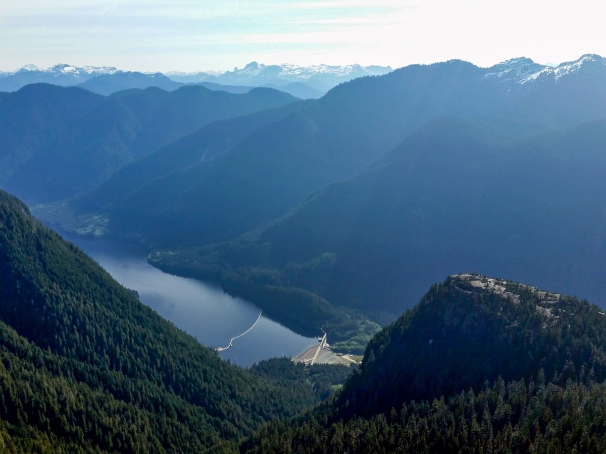
The trail forks here, with the trail going right a quick detour for a nice view of the Seymour Watershed. Instead, continue going ahead along back from the main trail north. There are some short, narrow ascents/ scrambling sections that will require your hands to climb up.
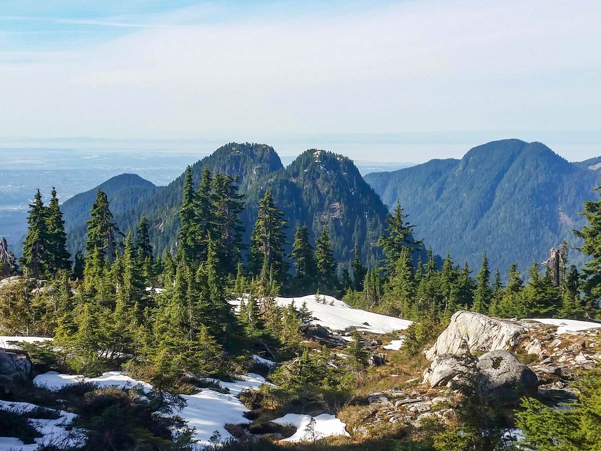
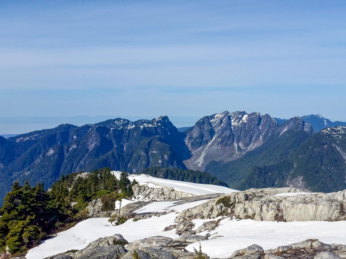
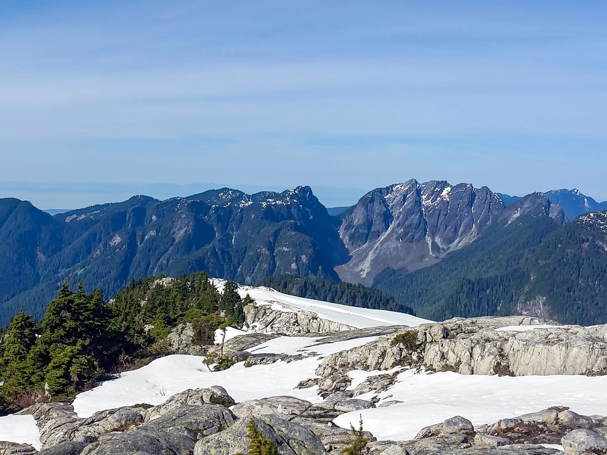
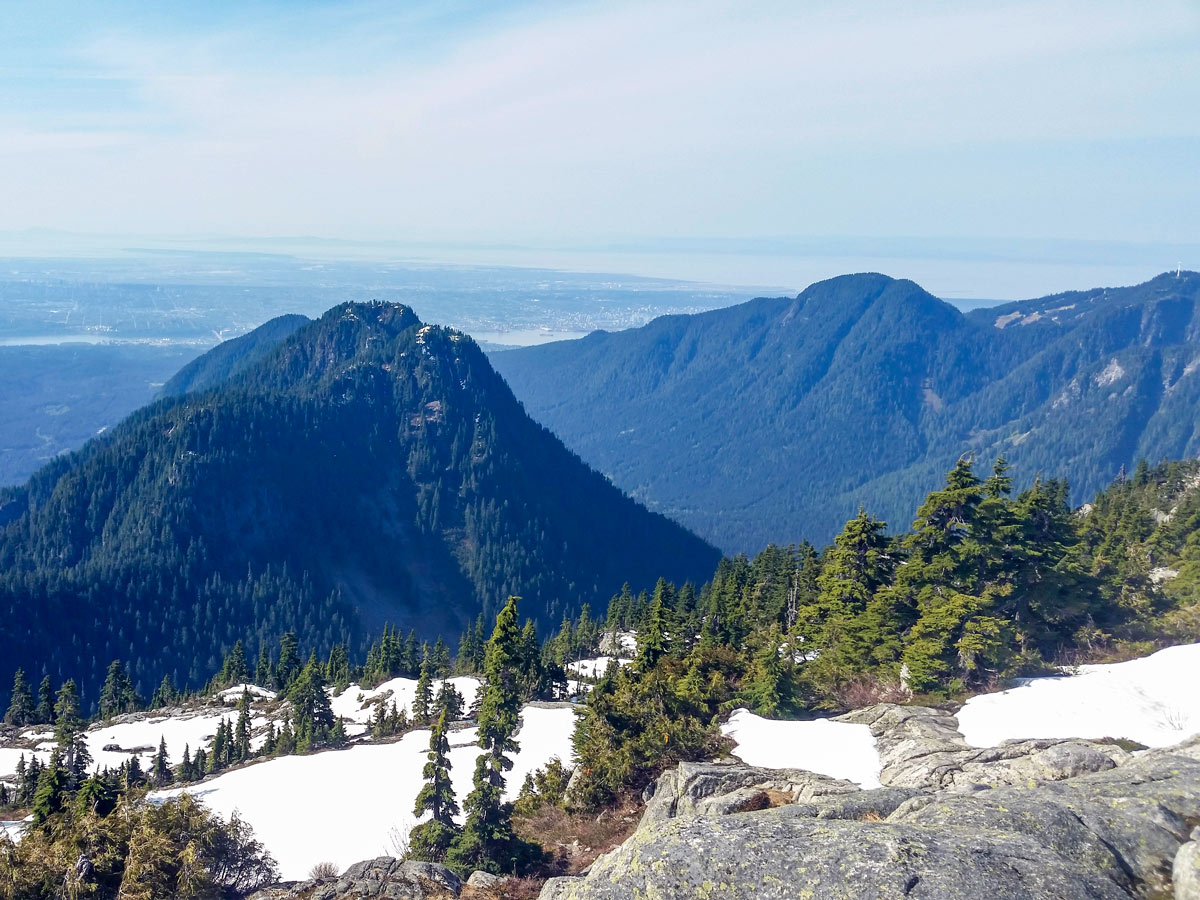
As you continue your climb towards Coliseum Mountain, you will get sections of views of Crown Mountain to the West, and Mount Seymour to the east.
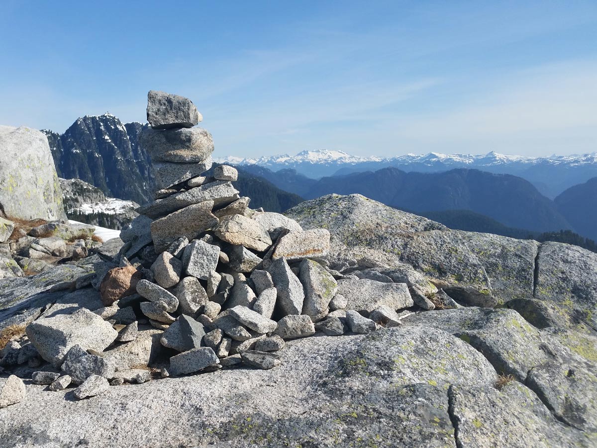
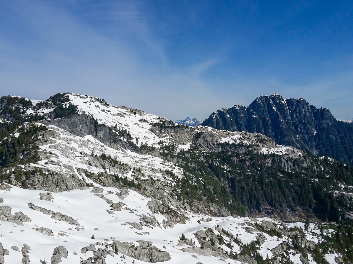
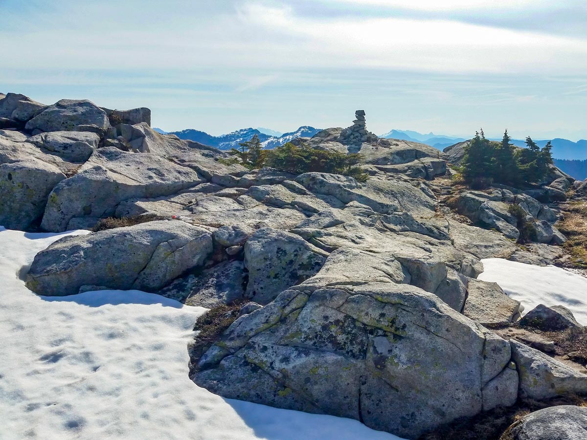
Within an hour of Norvan Pass, you should be in the alpine of Coliseum Mountain. From this point, the trail can be hard to follow as you reach the peak, but if you follow the orange tape and cairns, you should be good.
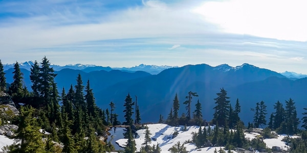
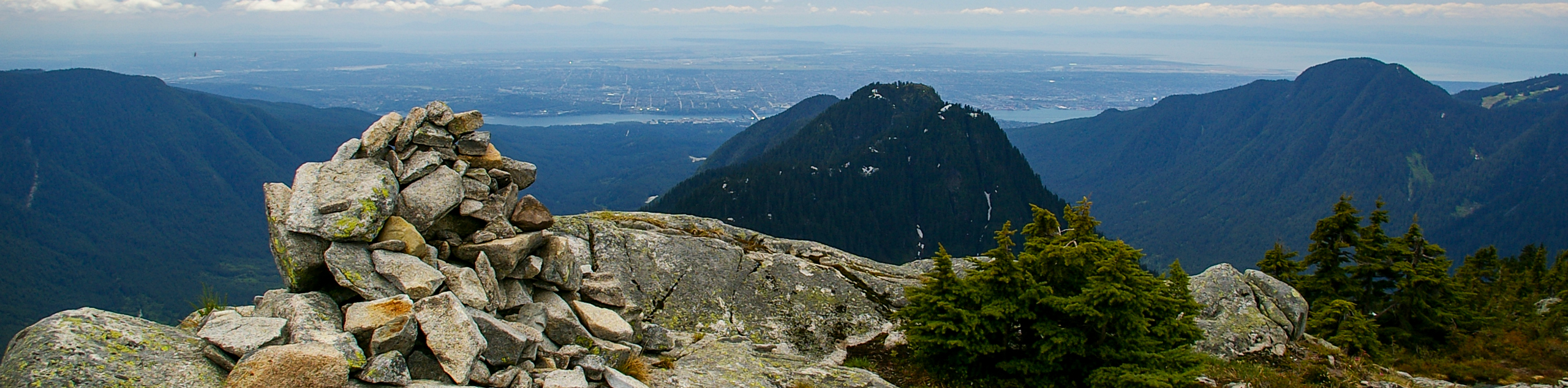
Keep hiking until you finally reach the top to enjoy the unbelievable view, with Mount Burwell, Cathedral Mountain and the mountains of Garibaldi Provincial Park off in the distance to the north. West, you’ll have a great view of Grouse Mountain, Goat Mountain, Crown Mountain, and Vancouver Island To the east, you’ll see Mount Seymour, Mount Bishop, and if you turn south, you’ll see the Lower Mainland.
To return, retrace your steps.
Insider Hints
Some of the Coliseum Mountain hike can be muddy, so gaiters may be a good idea.
From the peak of Coliseum Mountain, it is possible to carry on to the summit of Mount Burwell, but this will take another 2 hours total.

Similar hikes to the Coliseum Mountain hike
Hike to South Needle
The Hike to South Needle follows along an extension of the trail to Lynn Peak, passing by the viewpoint and…

Lynn Lake Trail
The Lynn Lake Trail is a lengthy hike through the Lynn Headwaters backcountry that is sure to get you off…
Mackay Creek Trail Loop
The Mackay Creek Loop Trail is an intense workout for hikers that love a steep incline along a short route.…
David L. 4 years ago
the 360-degree views at the peak are mesmerizing. all is good, just be aware of bears in the area.
Glori S. 5 years ago
Great hike with a view at the top. Trekking poles are recommended as some parts are muddy, heavily rooted, and sloped. The trail is marked at frequent intervals.
Brandon Houston 5 years ago
Tough hike. Super muddy. Worth the views. Highly recommended to adrenaline junkies who are up for some fun!
Isaac Tomlins 5 years ago
It was an awesome, moderate hike. It took us a while to make it to the top, but it was well worth it. Mesmerizing views from every angle. Lovely lake.
Nathan R. 5 years ago
Gruesome hike, but absolutely worth it. The first bit felt like a 45° incline. Took 10 hours roundtrip but with some jogging on the falt sections.
Macky O. 5 years ago
The hike was fantastic! Absolutely one of my favorite. The first stretch is rather simple and easy, but just after you pass the fork to Norvan Fall the trail becomes steep. So be very careful when traversing this path.
Jessica G. 5 years ago
This hike is no joke, be prepared and bring lots of water. This hike is best for experienced hikers. Overall, I still think it's awesome! You will be rewarded with stunning views for your effort and hard work.