China Camp Loop hike
View Photos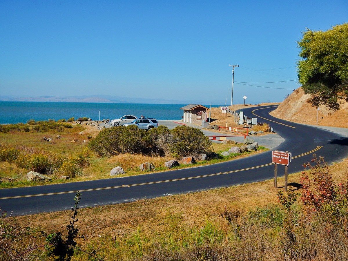
China Camp Loop hike
Difficulty Rating:
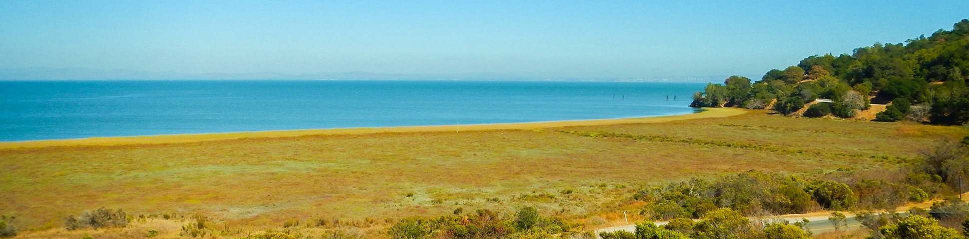
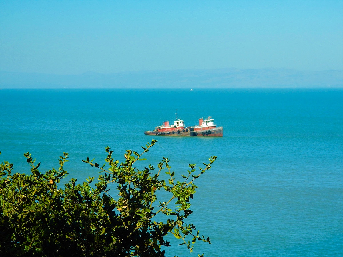
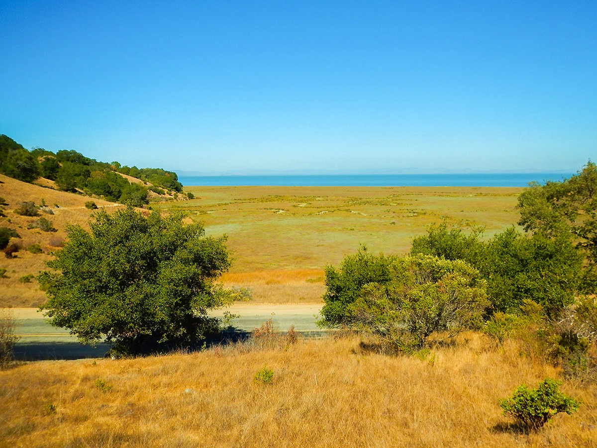
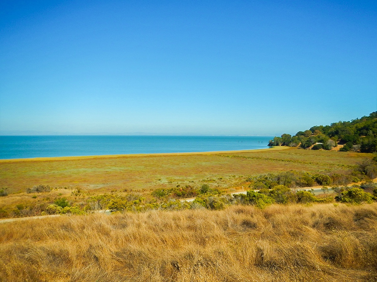
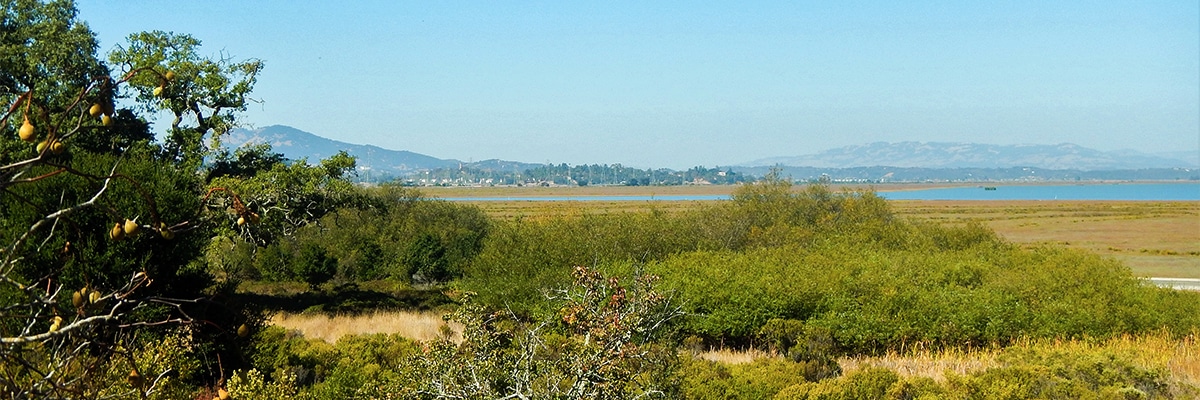
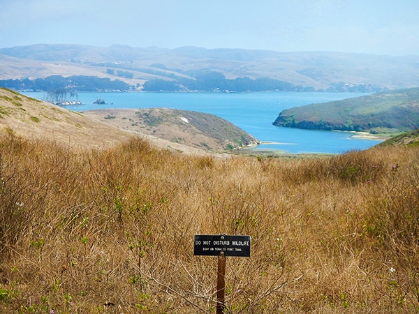
The China Camp Loop hike offers many great views of all of the surrounding areas including the San Rafael/Richmond Bridge. This hike has gradual elevation gain and then steep loss at the end.
Getting there
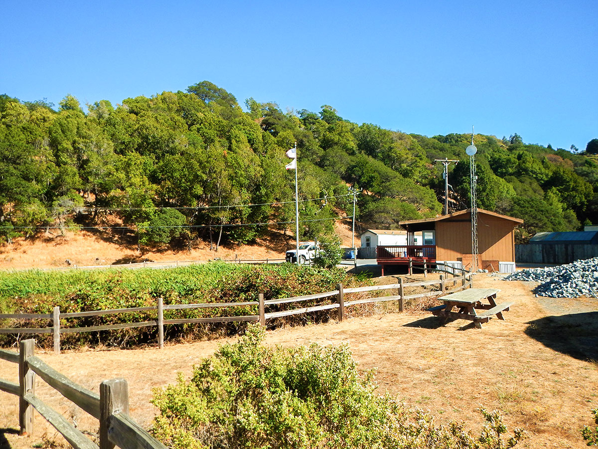
Head for China Camp Visitor Centre and camp at the Bullhead Flat parking lot, which is across North San Pedro Road from the China Camp State Park Ranger Station.

About
| When to do | Year round |
| Backcountry Campsites | No |
| Toilets | Parking Lot |
| Family friendly | Older Children only |
| Route Signage | Good |
| Crowd Levels | Moderate |
| Route Type | Loop |
China Camp Loop
Elevation Graph
Weather
Route Description for China Camp Loop
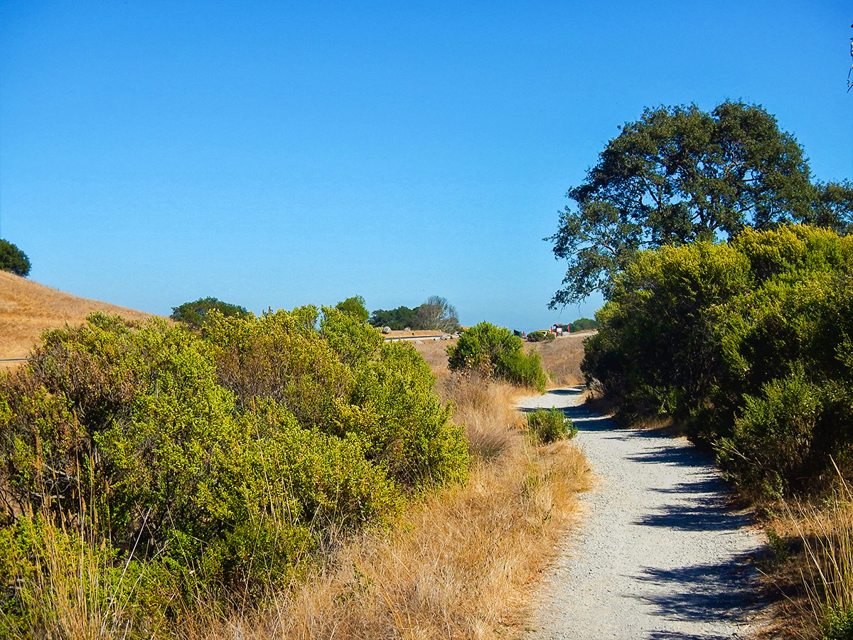
After parking at Bullhead Flats parking lot, carefully cross North San Pedro Road and prepare to start the China Camp Loop Hike. Almost immediately after crossing North San Pedro Road you hit the trail, turn right to follow the Shoreline trail up the hill.
Soon you come to an intersection, turn left and continue on this trail as it heads south.
Soon after the trail will split again, go left on the narrower trail and then a short while later go right to stay on the Oak Ridge Trail. You have nice views south with the Bay in the distance.
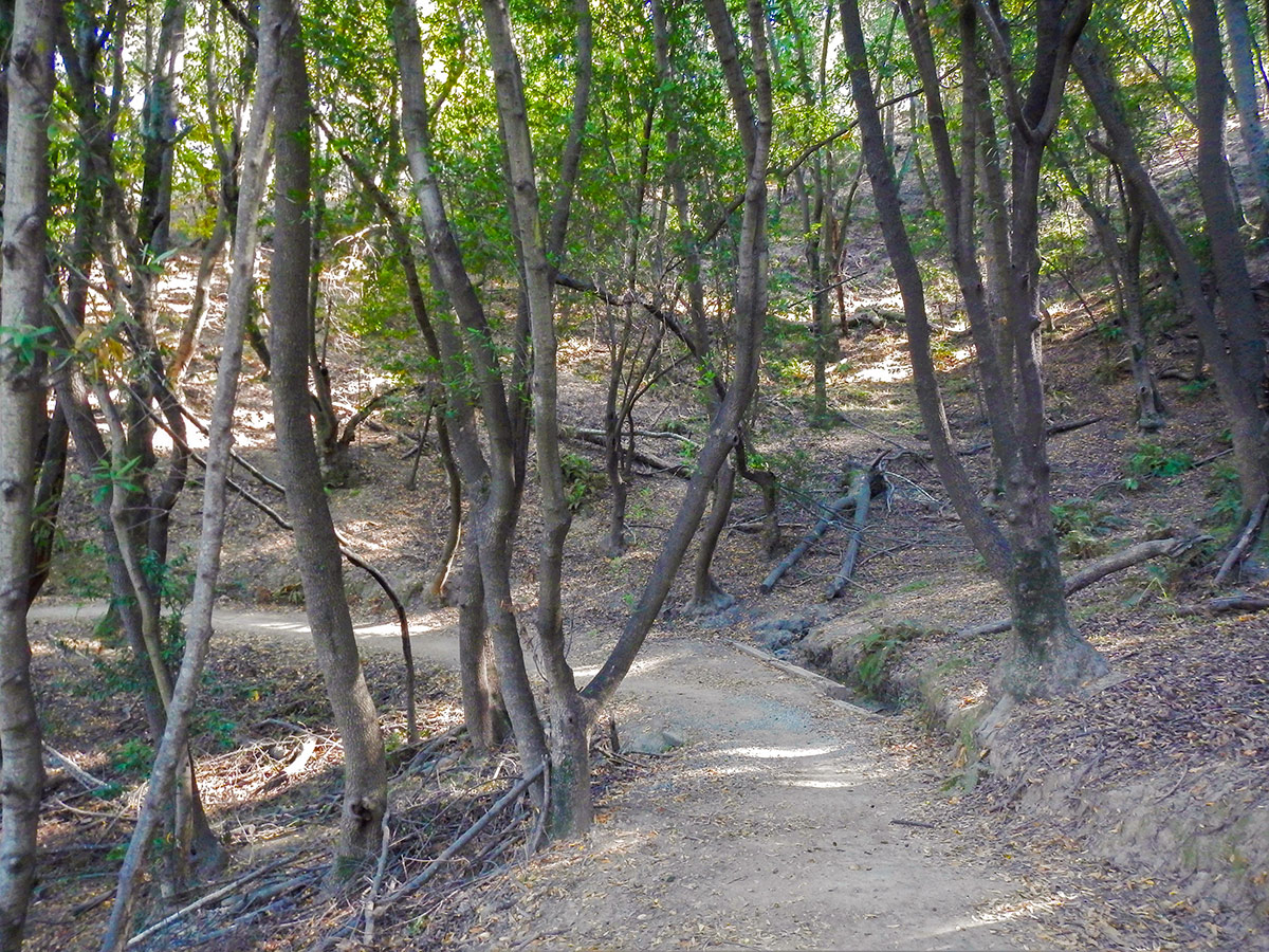
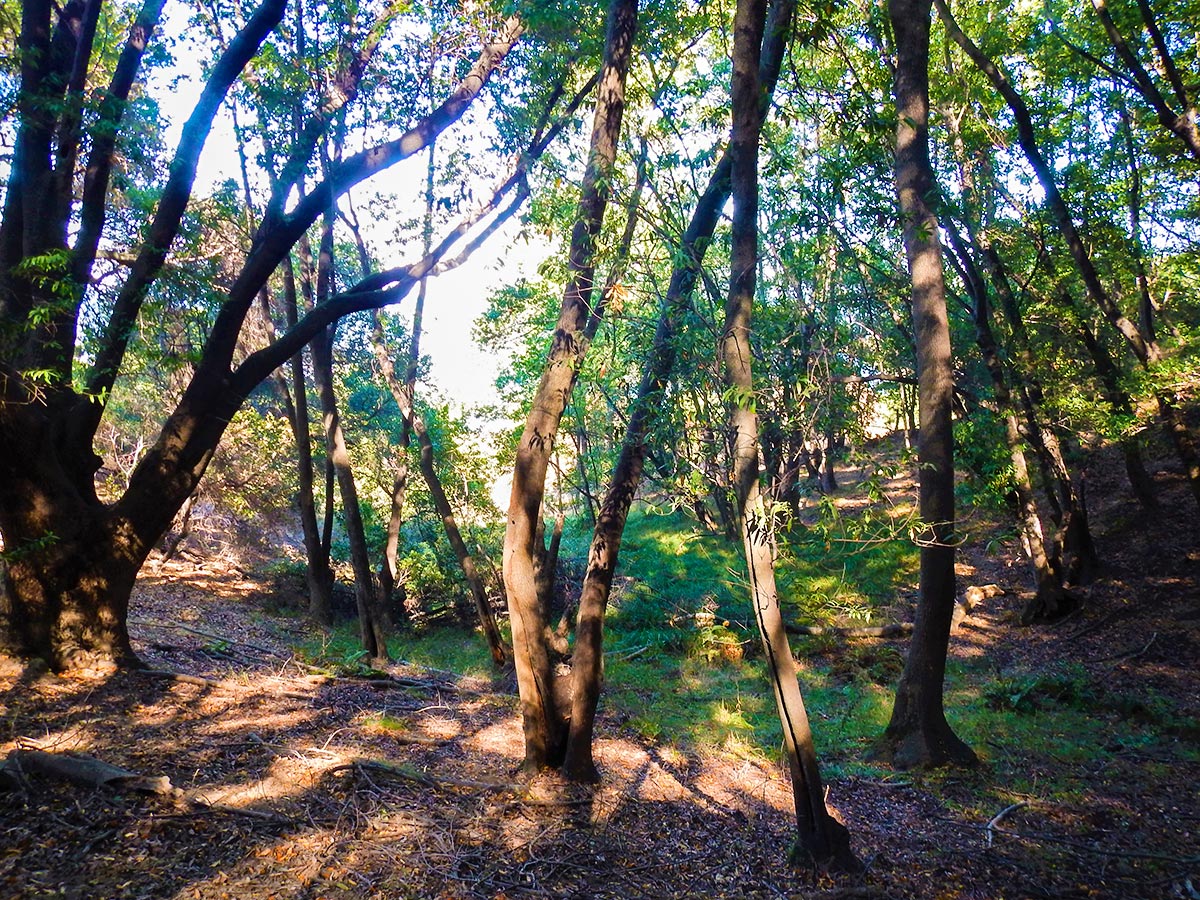
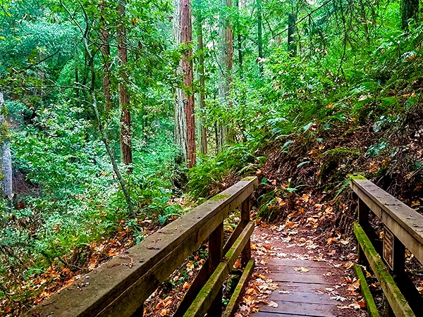
You will come to an intersection by an old log, and go right onto the Bay View Trail. This path goes through the trees and shrubs, with limited actual Bay Views.
At the next intersection keep left to stay on the Bay View Trail. Do not take Black Ranch Fire Road unless you want to cut off 4.0mi from the hike.
Continue on Bay View Trail when you come to your next Junction as well, which has the Echo Trail going left while the Bay View Trail continues on the right. The hike now heads north, still on the Bay View Trail, and most of the views are of trees instead of the Bay!
Soon you come to another junction, where you need to stay on the Bay View Trail and take the trail that goes right and heads south. Going forward at this junction puts you on the Powerline Fire Trail.
After several switchbacks, you come to a wider trail, where you go right, this is the Powerline Fire Trail. Soon after, the Bay View Trail goes off on your left, but continue straight on the Powerline Fire Trail.
Follow this trail until you come to a fence that blocks the path, with a picnic area behind the fence. Go left here and contour around the fenced off area. On the other side you’ll see the Shoreline Trail go off on your left, but continue straight ahead, going past a parking lot.
You are now on the Shoreline Trail. You will follow this trail all the way back to the start of the trail. Along the way you’ll cross over the Back Ranch Fire Trail and further on the Bullet Hill Trail. Along the way the path will lead in, around, up and down to get back to the China Camp Visitor Centre.
Insider Hints
This is a long hike and can get quite warm throughout the year, bring lots of water.
This trail is shared with mountain bikers, keep to the right side of the trail and listen for oncoming traffic on the trail when going around corners.
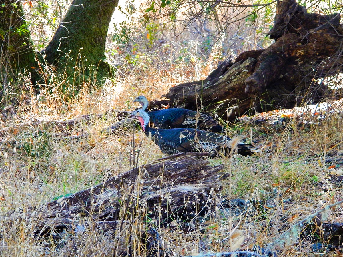
Hike quietly to increase your chances of seeing deer grazing on the hills and in the ravines.

Similar hikes to the China Camp Loop hike
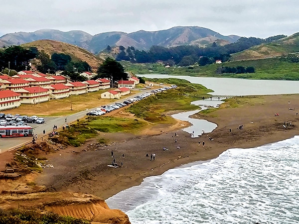
Hill 88 Loop
Hill 88 Loop, located in the Golden Gate Recreation Area in Marin County, is an excellent choice for dog lovers…
Tomales Point Trail, Marin County
The Tomales Point hike is located in the Point Reyes National Seashore, sandwiched between Tomales Bay and the Pacific Ocean.…
Mt. Tamalpais Pantoll Loop
The Mt Tamalpais Pantoll Loop hike takes you through old growth redwood groves, windy trails following the creek, a few…
orlando f. 4 years ago
The views of the south looks great! Long trek but worth it.
Yael M. 4 years ago
It was a simple hike with few challenges.
YashKumar 4 years ago
Beautiful area to visit and to sit by and read a book to relax.
yanagichan 4 years ago
It's simply relaxing! There were big beautiful trees and a view of the ocean.
Nora T. 4 years ago
We enjoyed this very easy trail overlooking the Bay marsh. Quiet scene, full of history
analee 4 years ago
If you go here early enough you'll avoid the crowd. It was a pleasant experience.
psalm 4 years ago
Such a cool and relaxing place to hike. Such a pleasant experience.
maya konataka 4 years ago
It was a nice hike, not so far from the city.
Cooper B. 4 years ago
This was just such a wonderful experience. It felt great to stroll around this amazing place.
Wyatt Discovery 4 years ago
There is various activity available for all ages and all type of fitness. It was awesome.