
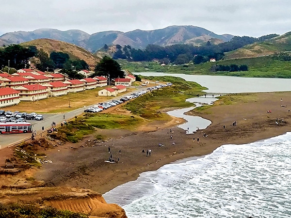
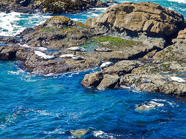
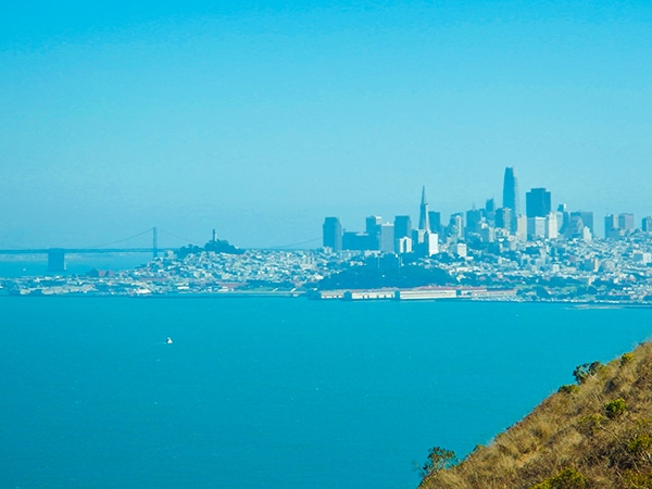
Mt. Tamalpais Pantoll Loop hike
View Photos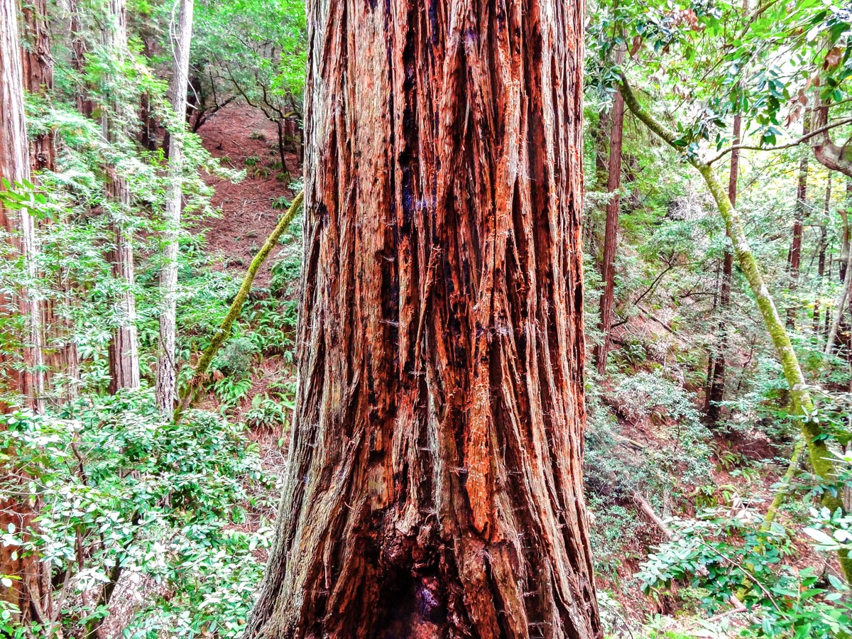

Mt. Tamalpais Pantoll Loop hike
Difficulty Rating:
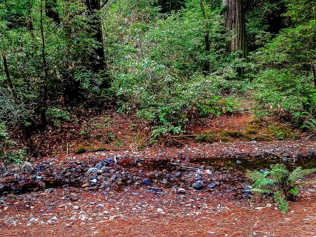
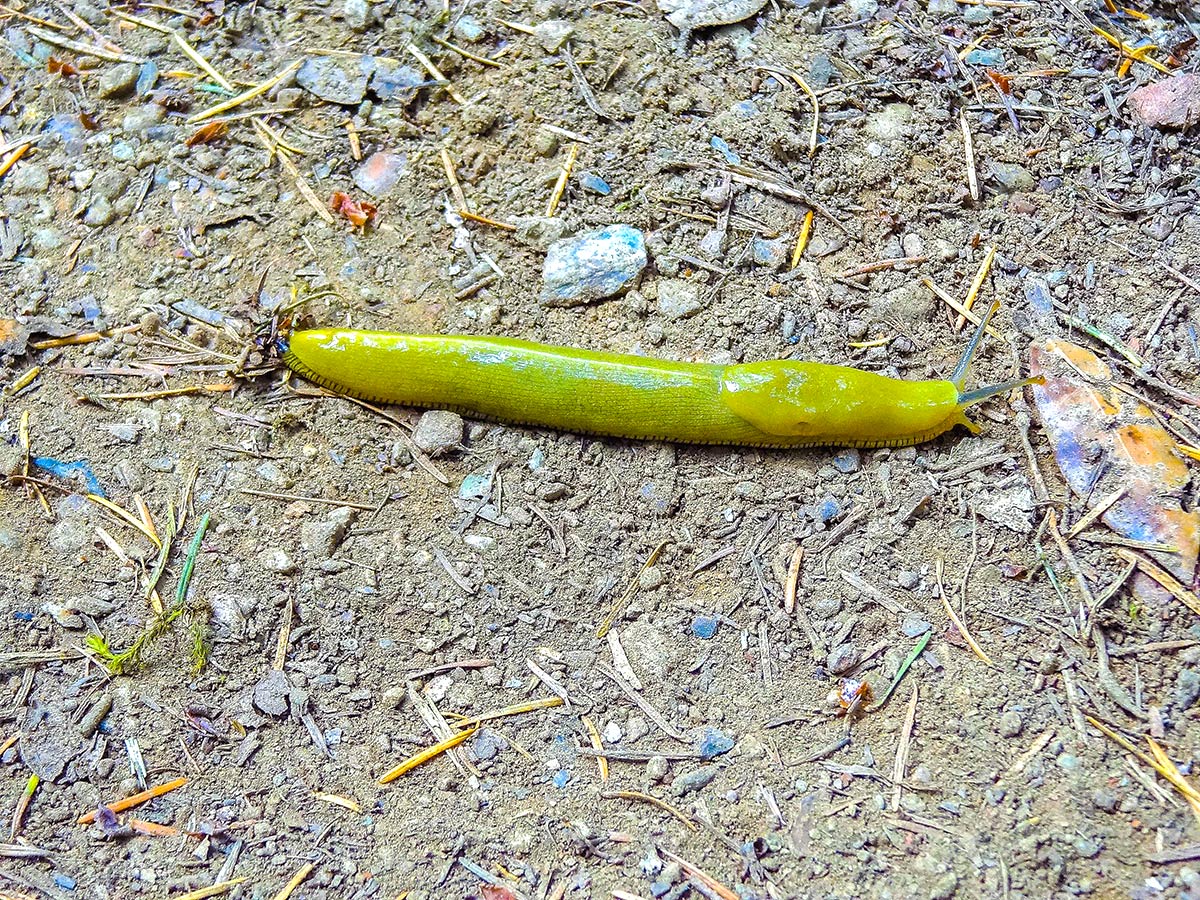
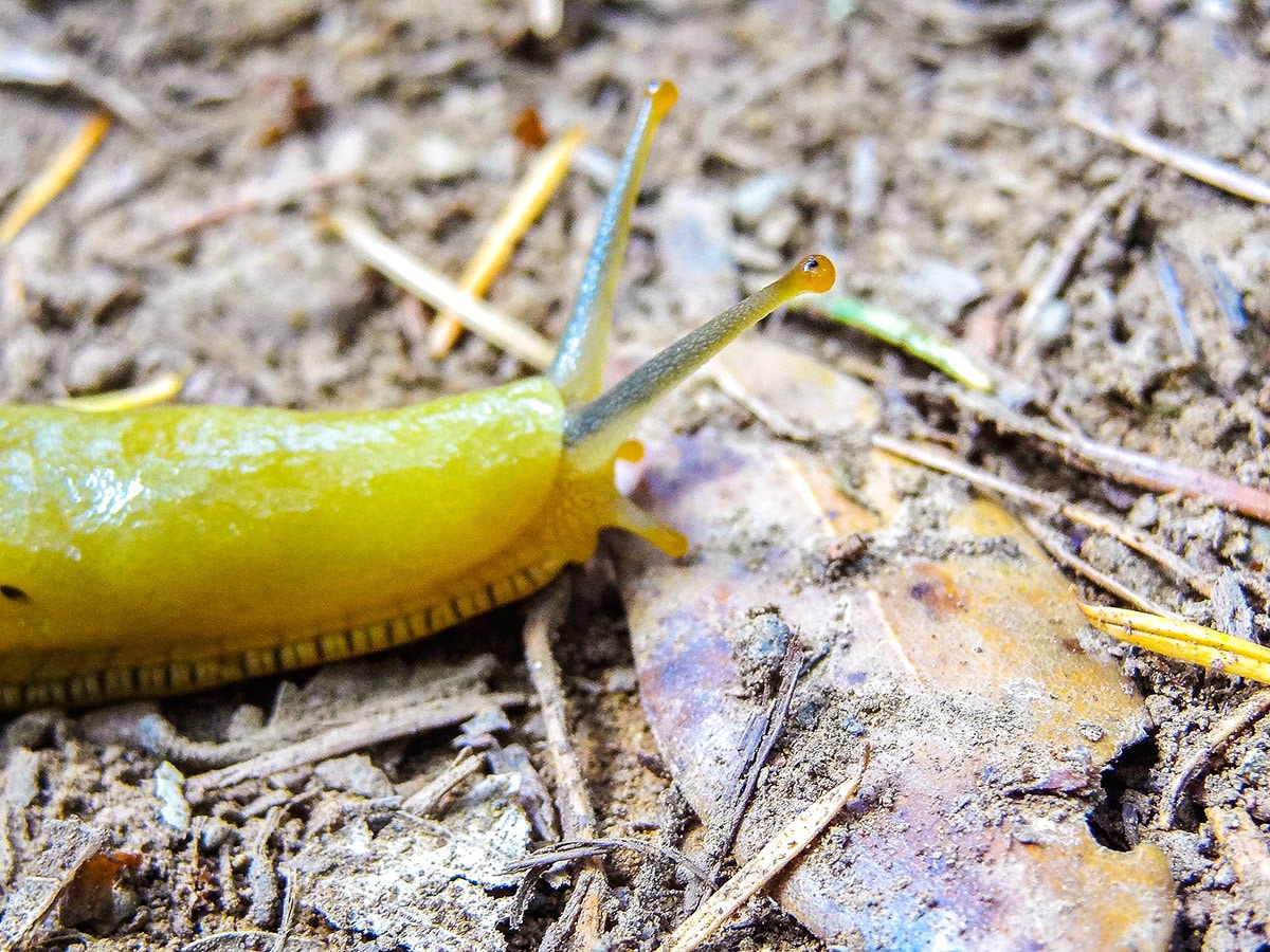
The Mt Tamalpais Pantoll Loop hike takes you through old growth redwood groves, windy trails following the creek, a few mini waterfalls, many species of ferns and lots of gorgeous views. This trail often has lots of banana slugs hiding in the shade along the trail.
Getting there
Head north over the Golden Gate Bridge and take the exit for CA-1 (Shoreline Hwy) North. Follow this as it turns into the Panoramic Highway. Pantoll campground parking lot is very visible from either direction on the Panoramic Highway.

About
| When to do | August through May |
| Backcountry Campsites | No |
| Toilets | Parking Lot |
| Family friendly | No |
| Route Signage | Average |
| Crowd Levels | Low |
| Route Type | Loop |
Mt. Tamalpais Pantoll Loop
Elevation Graph
Weather
Route Description for Mt. Tamalpais Pantoll Loop
For the Mt Tamalpais Pantoll Loop, the hike starts off in the parking lot at the ranger station, where there are bathrooms available for use. This parking area requires payment, so make sure to bring cash to pay for parking, they do not accept cards at this time.
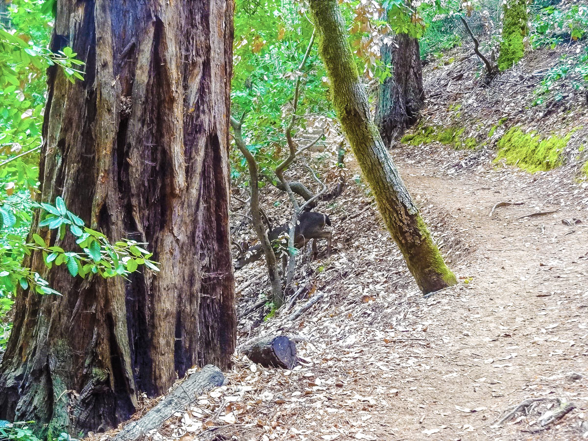
After parking, walk up the dirt trail to the left of the ranger station. This trail heads up the hill through the campgrounds, along the way follow the signs for Stapleveldt Trail. After walking up the hill keep right at the fork and follow the wooden fence.
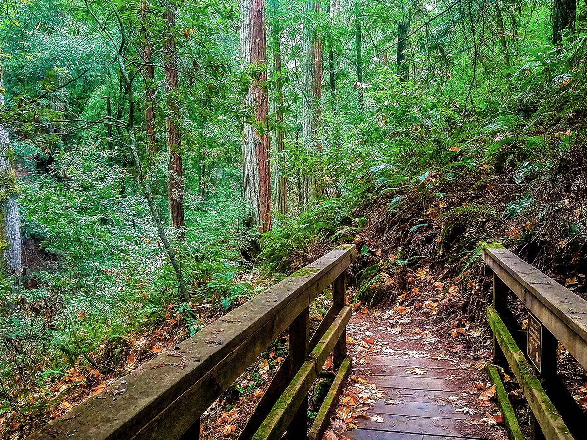
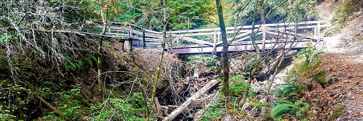
When you approach the bridge turn right and do not go over the bridge. At the next fork keep left to stay on the Ben Johnson Trail, do not go on the Hillside Trail.
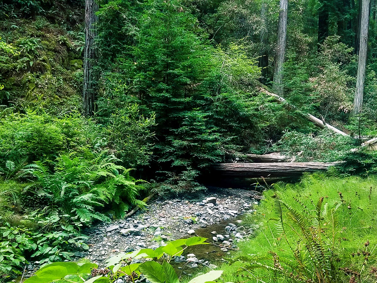
Cross Bridge #4 and then make a left onto BootJack Trail. At this point the ascent begins and is quite steep for the next mile. The next couple miles meander along Rattlesnake Creek and have many natural staircases.
Stay on the Bootjack Trail until you reach a small grassy meadow (Van Wyck Meadow), at the meadow continue up the hill and follow signs for the Alpine Trail and keep left at any forks. Follow the Alpine Trail, which will lead you all the way back to the rangers’ station.
Insider Hints
Pack plenty of extra water, the last 2.0mi are uphill.
If you time it right, you can see thousands of ladybugs (September through October most years).
If you do not like stairs or your joints can’t handle more than a few flights this hike is not for you.
Bring cash for parking.
Best way to do this trail is to picnic for lunch after crossing bridge #4 along the river before starting the second half of the trail.

Similar hikes to the Mt. Tamalpais Pantoll Loop hike
Hill 88 Loop
Hill 88 Loop, located in the Golden Gate Recreation Area in Marin County, is an excellent choice for dog lovers…
Salt Point Trail
The Salt Point Trail a great way to experience the serenity of the untouched coastline with very little elevation change.…
Kirby Cove
The Kirby Cove trail is highly traveled by tourists and for good reason. This hike has some of the best…
Yael M. 4 years ago
I stopped all the time to take a closer look at the plants and insects. I was so absorbed in watching them.
Nora T. 4 years ago
View from the top is just breathtaking and speechless! Stunning!
Stumpyboots 4 years ago
Such an amazing place! Great view!
Stevie M 4 years ago
Magnificent views, diverse landscape, not too cramped.
Charles W. 4 years ago
We had a short fun trip here! It's also nice to see plenty of unnamed waterfalls around the area.
Wyatt Discovery 4 years ago
Amazing flora and fauna can be seen around the area.
noahcyprus 4 years ago
It was a fun experience. There were lots of different things to see and explore.
Houston Jackson 4 years ago
The trail was easy to follow, and there are various things to see.
Cheska Jane 5 years ago
Views of the waterfall are beautiful. Absolutely gorgeous hike!
Graham W. 5 years ago
Gorgeous scenery. Nice and fun loop. Gentle and easy.