Shollenberger Park hike
View Photos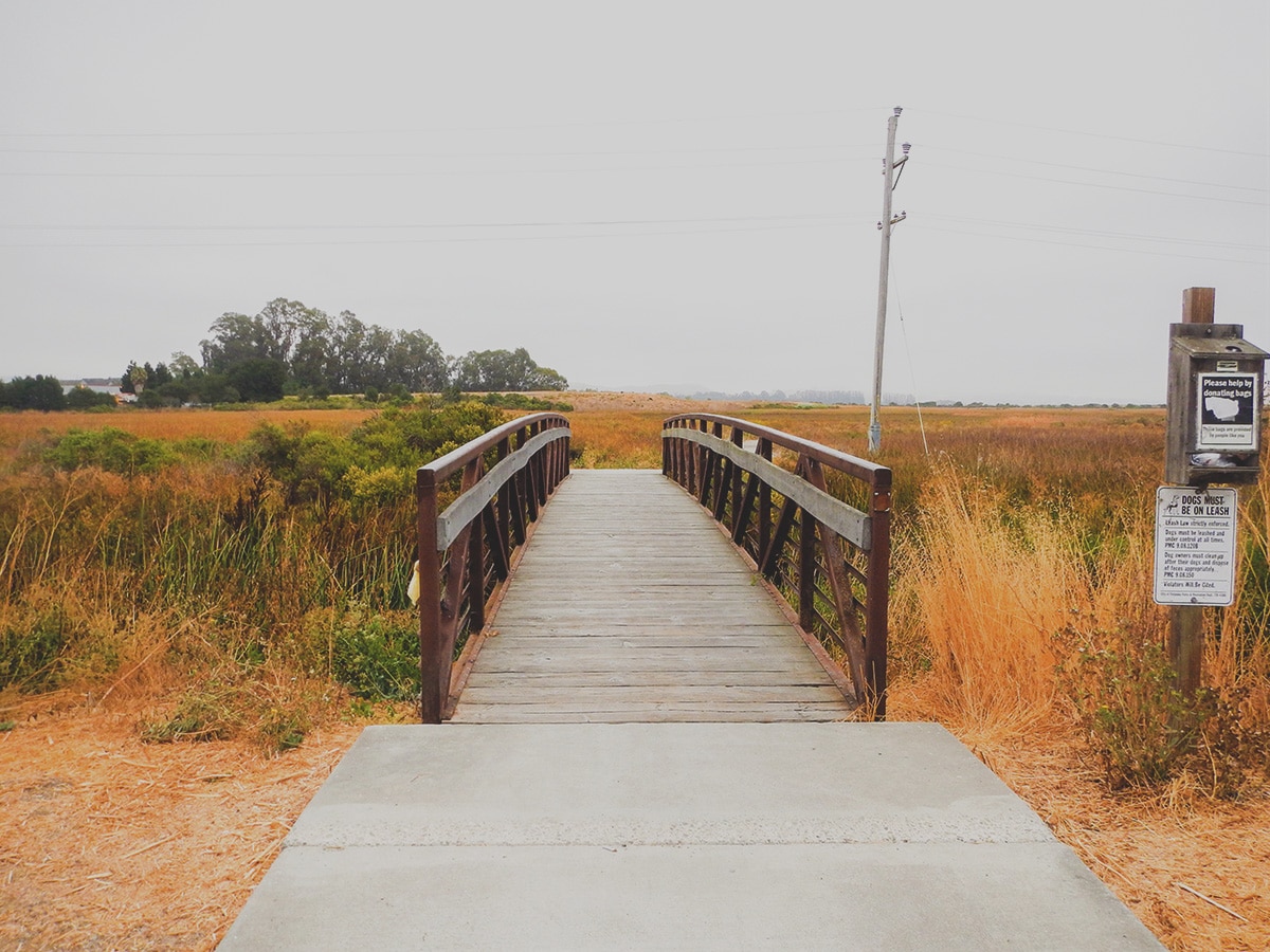

Shollenberger Park hike
Difficulty Rating:
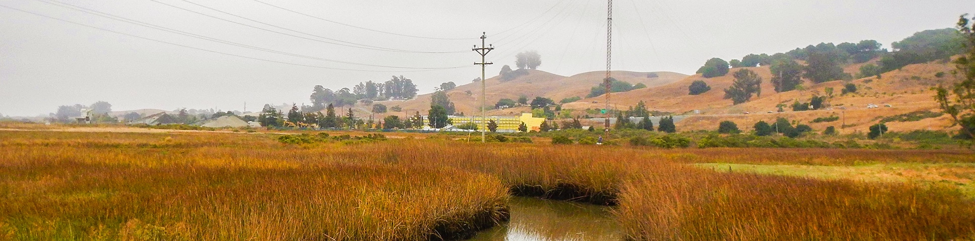
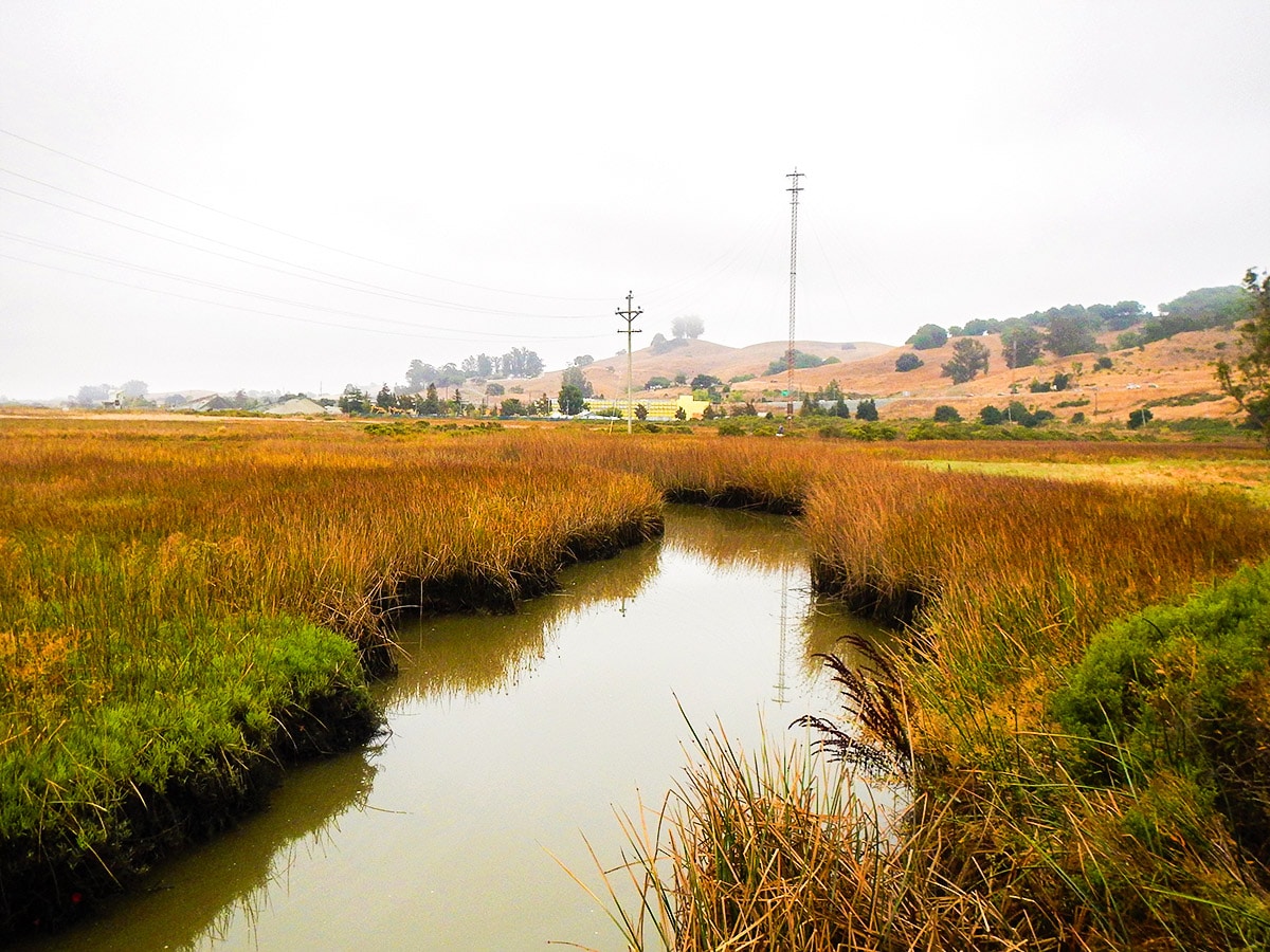
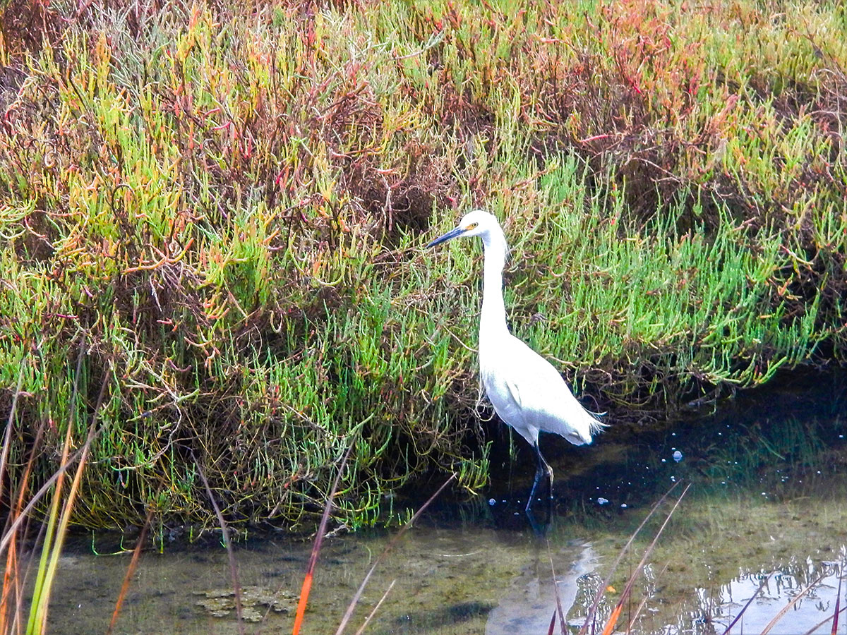
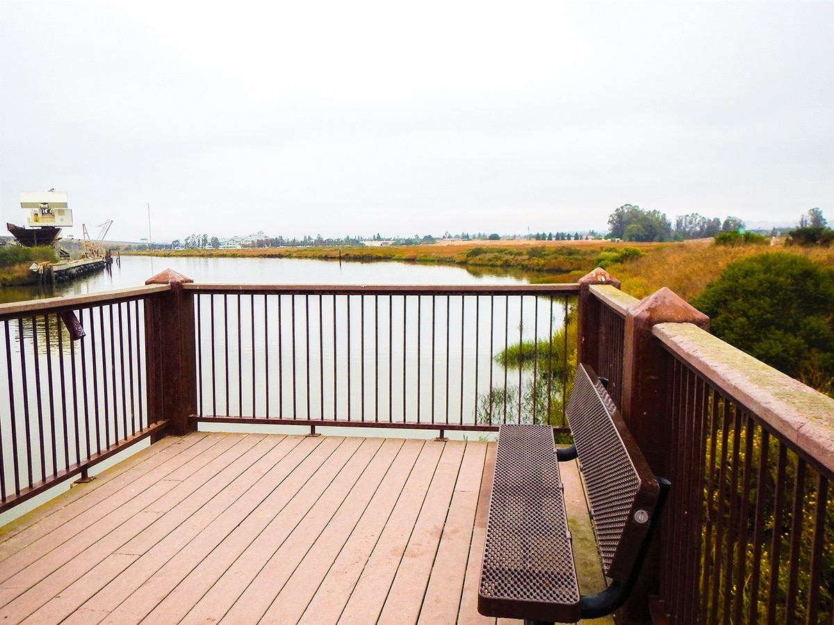
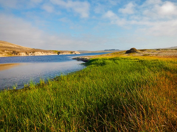
A walk in Shollenberger Park is great for people who want to get out in nature but don’t have the time to venture out to a coastal hike. This hike is abundant in bird species and natural waterways which all lead to the peaceful ambiance of the park.
Getting there
The Parking lot is SE of the Sheraton Sonoma County-Petaluma. Once you turn onto Marina Ave keep driving through the back of the court and continue driving along the edge of the parking lot until you can see the Petaluma Marina. Once you can see the marina then the trailhead will be on your left.

About
| When to do | Year Round |
| Backcountry Campsites | No |
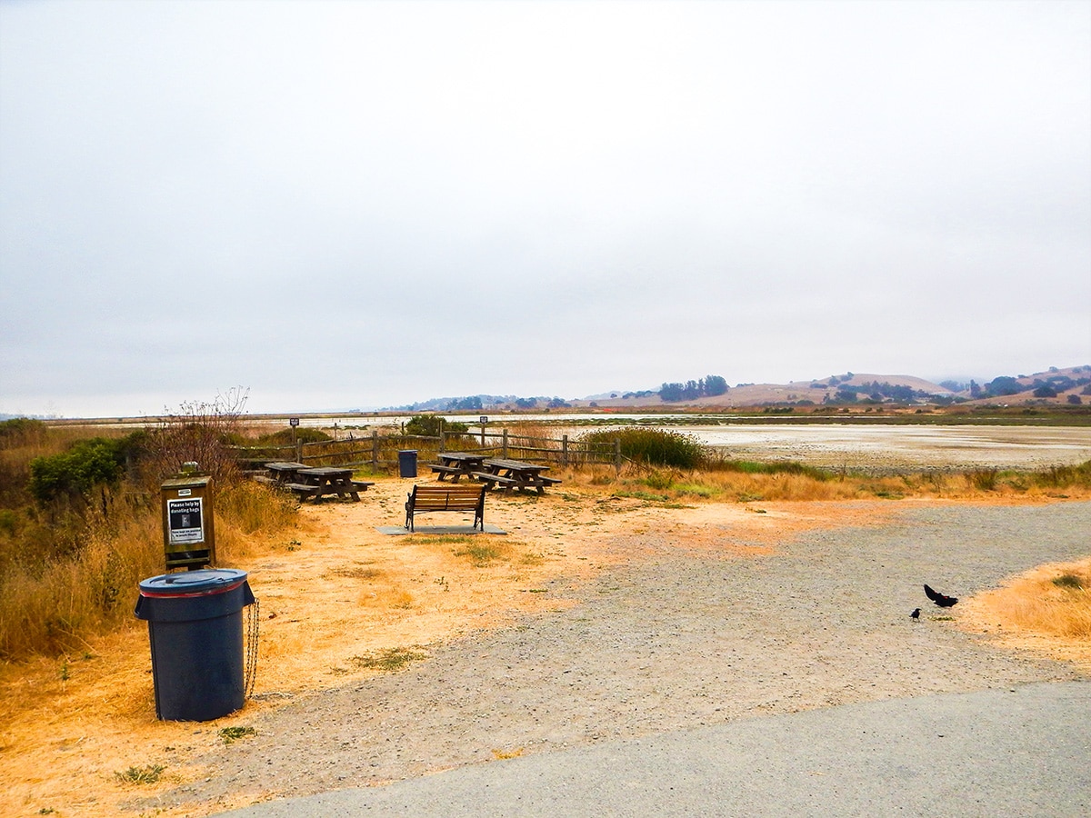
| Toilets | Yes, a little past half way on the hike along with picnic. |
| Family friendly | Yes |
| Route Signage | Average |
| Crowd Levels | Moderate |
| Route Type | Lollipop |
Shollenberger Park
Elevation Graph
Weather
Route Description for Shollenberger Park
Getting to this hiking location can be a little tricky, it is not obvious that there is a trailhead.
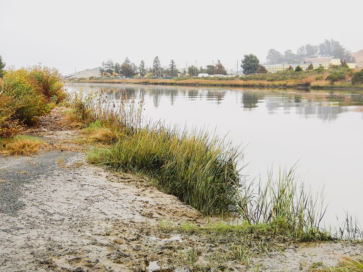
From the small parking lot, cross the bridge and go right and walk down beside a creek which eventually leads to the Petaluma River, where the path goes to the left. Follow the path along the river until it veers off to the left and then takes a hard-left turn
The trail goes around the edge of the green space, and when the trail splits, take the right-hand path that goes south.
In less than .1 miles you will come to two perpendicular trails, take a right and continue to stroll down the path.
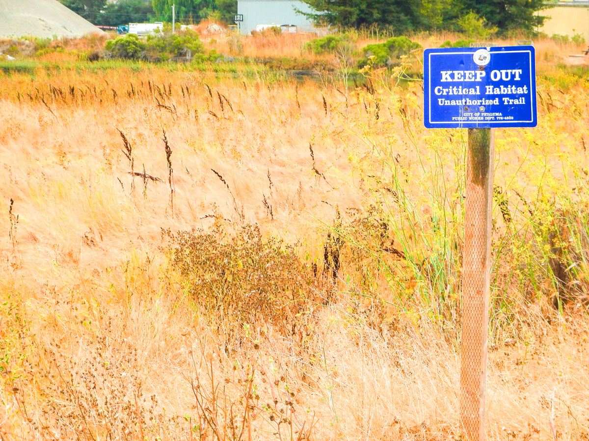
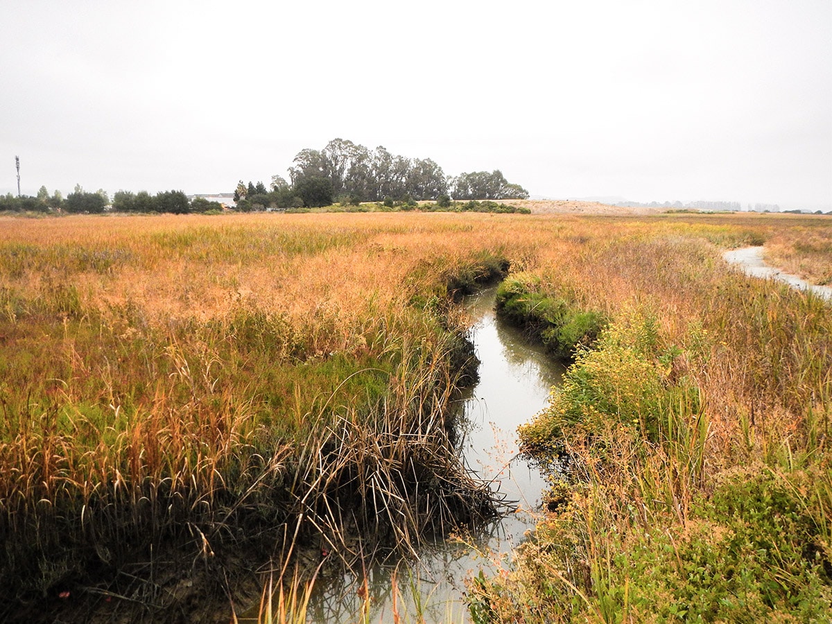
You are now going to do a 2.0mi loop of Shollenberger Park. This park has 165 acres of wetlands and is popular with walkers, bird-watchers, dog walkers, runners and cyclists.
Once you complete the loop around Shollenberger Park, you take the same trails you came out on back to your car.
Insider Hints
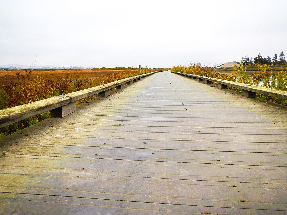
This path is narrow in the beginning and then it widens up after the first mile to a multi use trail that is mostly paved.
If you are looking to do a flat 2.0mi loop with 3-wheel stroller abilities you can start off of Cader Lane, south of S McDowell Blvd, where there is a small parking lot.
During lunch hours this park can get quite busy, a lot of people use the park on their lunch breaks.

Similar hikes to the Shollenberger Park hike
Salt Point Trail
The Salt Point Trail a great way to experience the serenity of the untouched coastline with very little elevation change.…
Kirby Cove
The Kirby Cove trail is highly traveled by tourists and for good reason. This hike has some of the best…
Abbotts Lagoon Trail
Abbotts Lagoon Trail is a fantastic nature walk for bird lovers and beach enthusiasts! After walking a flat trail, you…
James Barnes 4 years ago
My favorite hike in all of North Bay. Great ambiance and lovely all-embracing beauty. It lacks some elevation, but you will never get disappointed.
Raphael I. 4 years ago
It was one of the most peaceful place in the heart of the city. There are lots of birds around the area and you'll never get bored.
Basheer Garul 4 years ago
Amazing great plaines! This place looks so beautiful.
Houston Jackson 5 years ago
Felt a sudden epiphany while walking around. It's that kind of place.
Ember Lyn 5 years ago
I was quite particular in this place. It might be one of the most serene walks.
Chris Stutter 5 years ago
Stunning setting not so far from the town. Wonderful place to explore any time of the day.
Althea M. 5 years ago
Wonderful trail. It's was steady and completely flat. Had no difficulty completing it. Totally awesome place to visit again and again.
Addison Maynards 5 years ago
Beautiful views and ambiance. Highly recommend this hike. Visiting this area does something to my soul.
Joni Anderson 5 years ago
Scenery was top-notch despite the minimal efforts it required to complete it. Absolutely stunning views.
Abby W. 5 years ago
Good rest spots along the way. Lots to see. It was so good, almost felt like a heavenly sanctuary.