Tomales Point Trail, Marin County hike
View Photos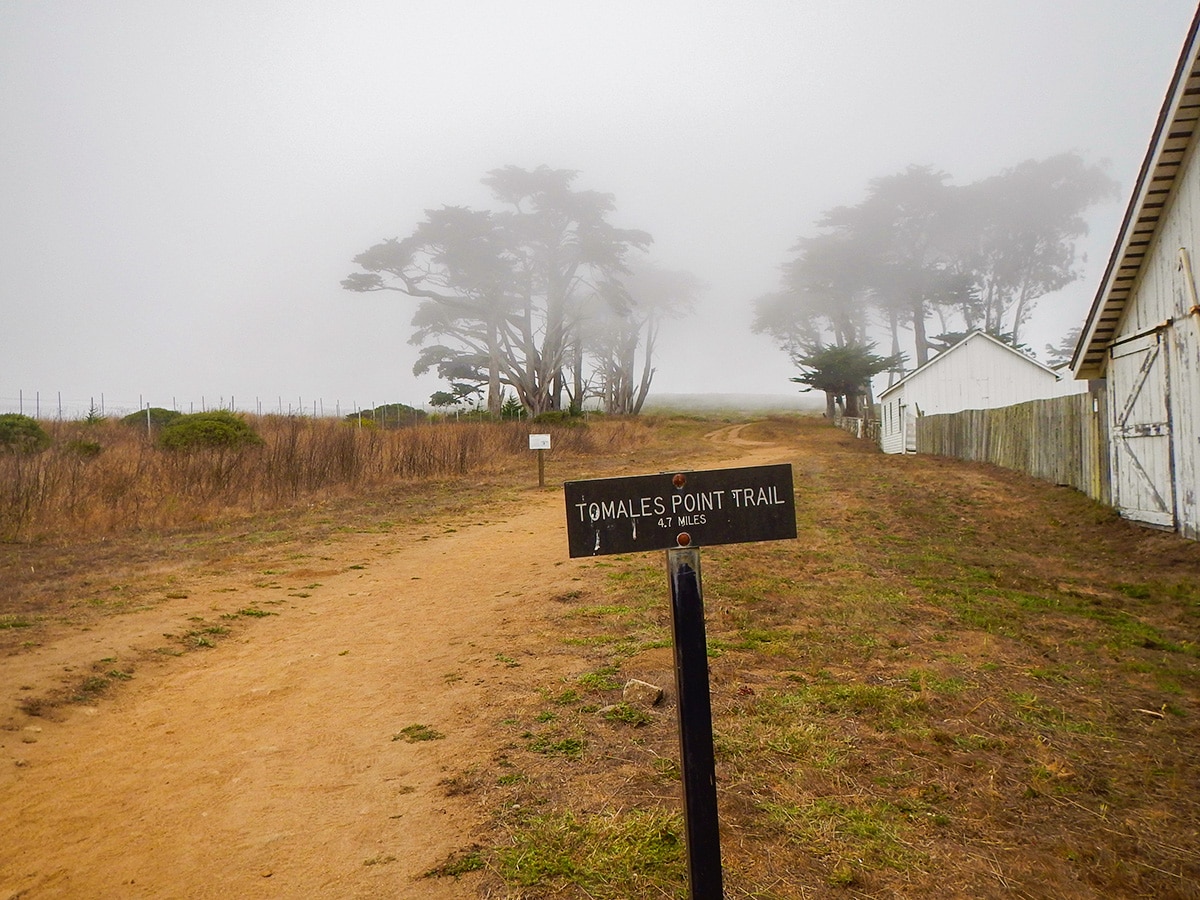
Tomales Point Trail, Marin County hike
Difficulty Rating:
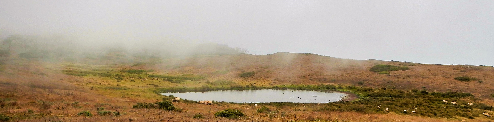
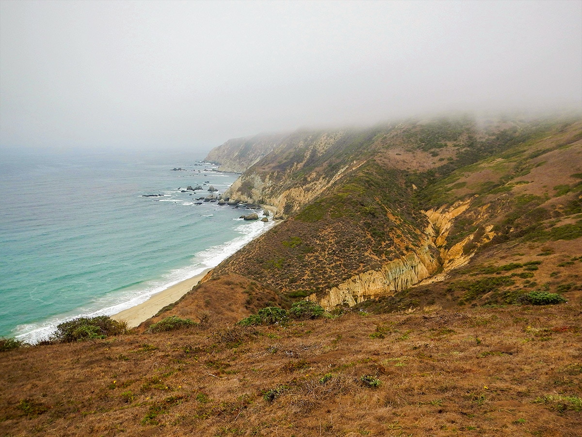
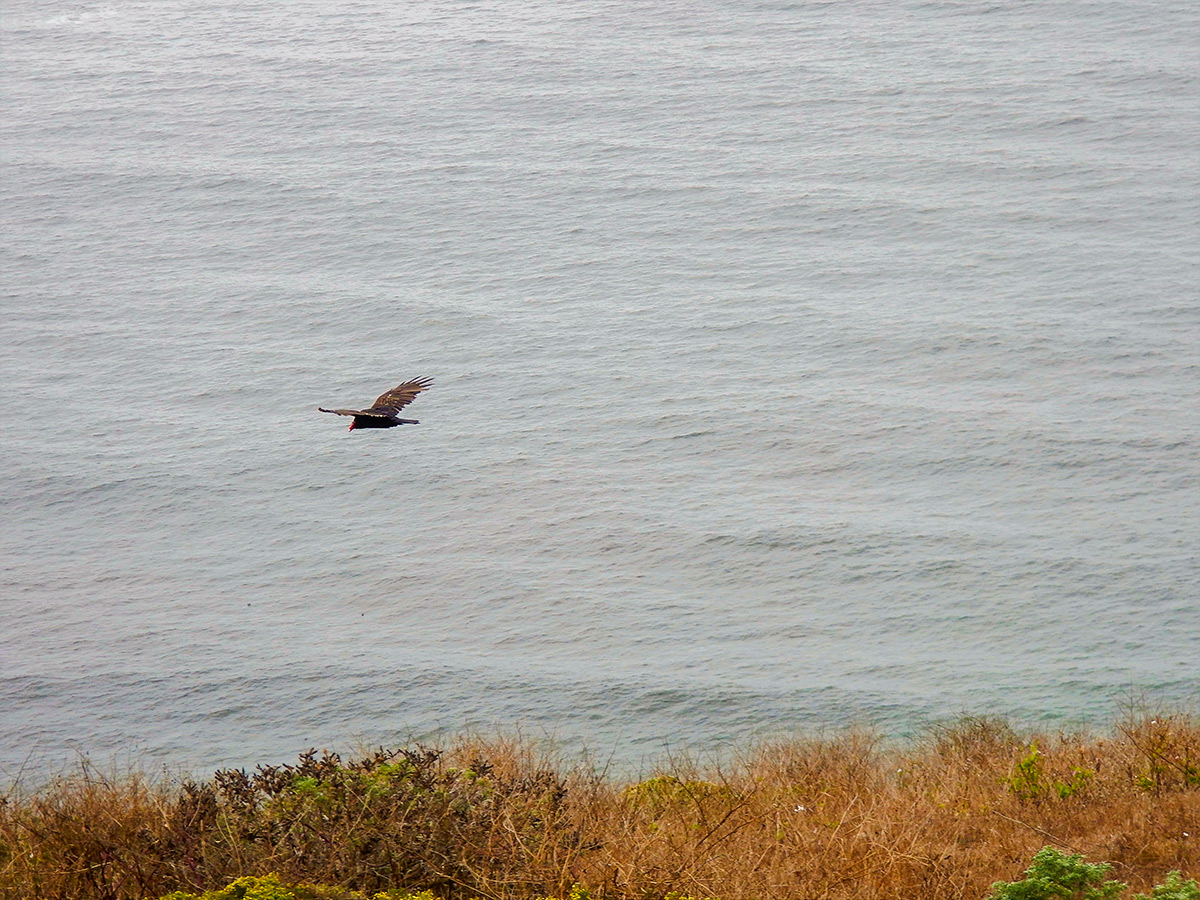
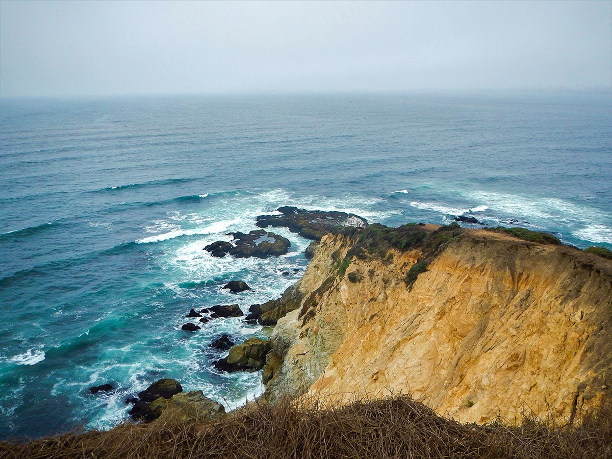
The Tomales Point hike is located in the Point Reyes National Seashore, sandwiched between Tomales Bay and the Pacific Ocean. This hike is a unique experience with it being a Tule Elk Preserve and often quite foggy. When not foggy, the views are great, with the views from Tomales Point itself spectacular!
Getting there
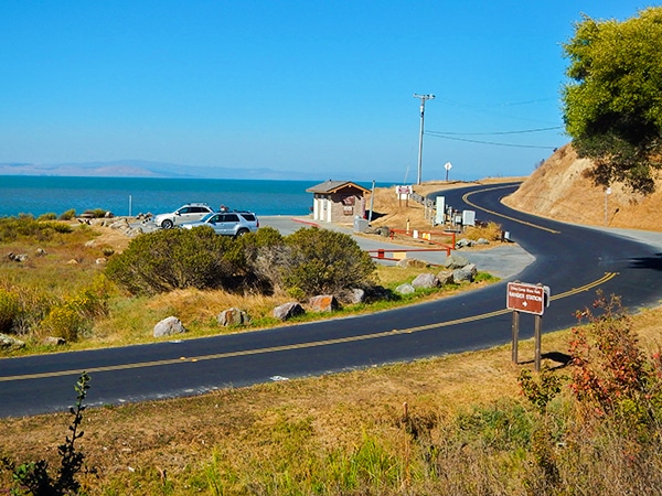
Head for the Tomales Point Trailhead, which is at Pierce Point Ranch. From Point Reyes Station, take Sir Francis Drake Boulevard and go right at the split onto Pierce Point Road. Park at the parking lot in front of Pierce Point Ranch.

About
| When to do | Year round |
| Backcountry Campsites | No |
| Toilets | At nearby McClures Beach Trailhead |
| Family friendly | Yes |
| Route Signage | Good |
| Crowd Levels | Moderate |
| Route Type | Out and back |
Tomales Point Trail, Marin County
Elevation Graph
Weather
Route Description for Tomales Point Trail, Marin County
The hike to Tomales Point is one of the easier trails to follow. From the parking lot at the Tomales Point Trailhead, walk to the left of the historic Pierce Point Ranch, which offers a glimpse into the early dairy ranching days on the Peninsula.
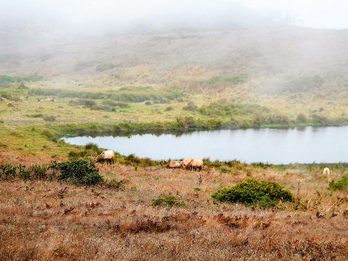
Continue straight, in a general northern direction, on the same trail for 4.7mi until the trail dead ends at Tomales Point. This can be more challenging in the fog, which is notorious around Tomales Point.
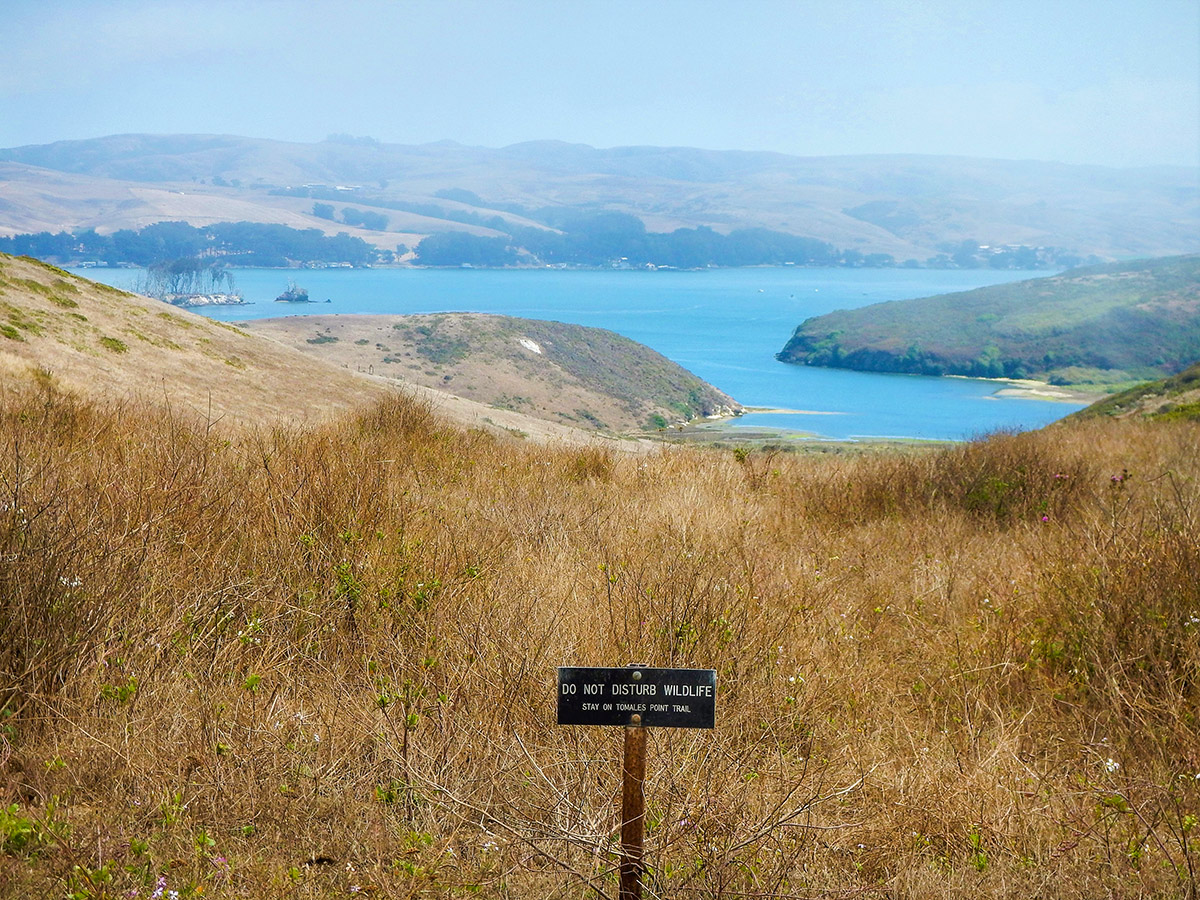
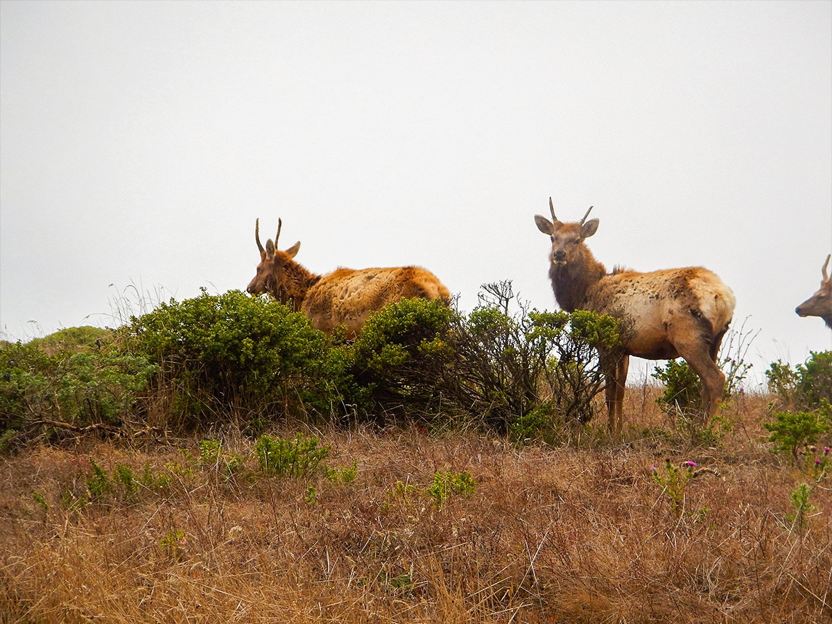
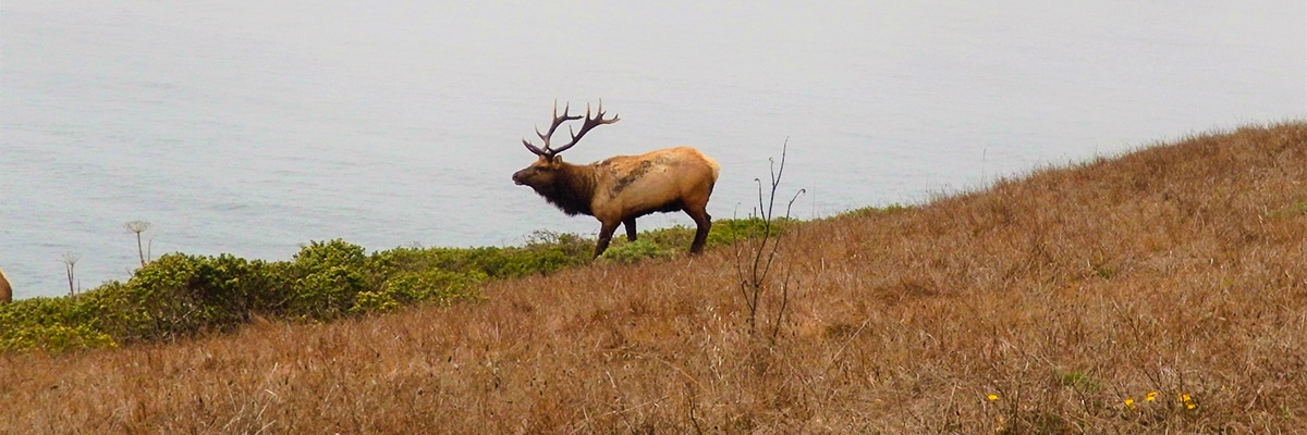
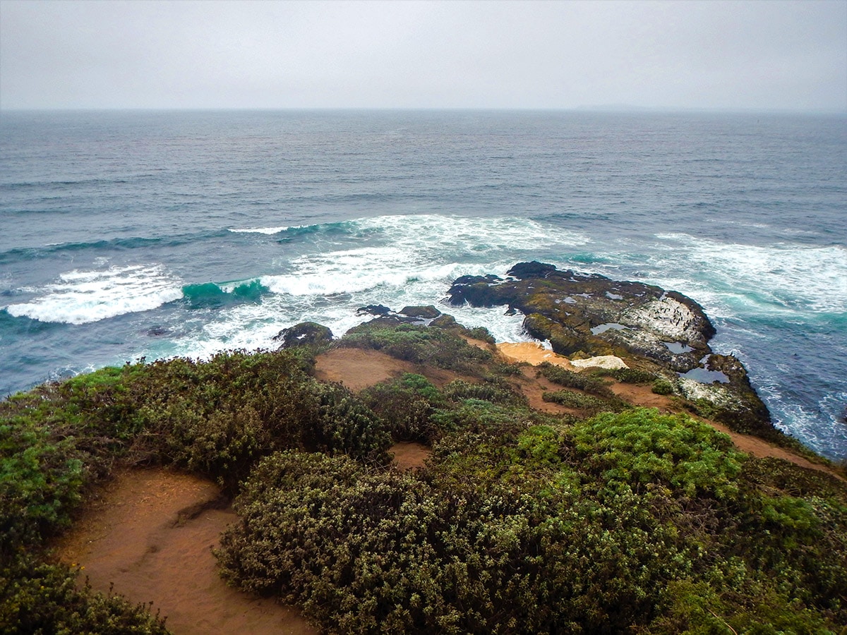
There is lots of scenery to take in during this hike, Duck Beach, Sand Point, Tom’s Point and views of Bird Rock. This trail consists entirely within a tule elk preserve and there is a good chance that you will spot a few elk grazing!
As you get closer to Tomales Point there will be multiple paths around bushes and a few places where people go off trail to get a better view, keep right and stay on trail for the duration of your hike!
After enjoying the views at Tomales Point, turn around and walk back the 4.7mi to Pierce Point Ranch.
Insider Hints
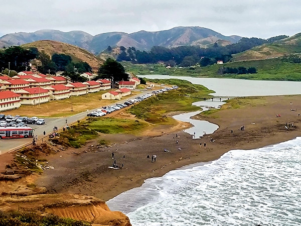
We like to make a trip down to McClure’s Beach, a short 1312ft jaunt from Pierce Point Ranch. You can drive down and park there if you’re tired. McClure’s Beach offers wonderful views, and if you brought a picnic is a great place to relax after a wonderful hike.
Layered clothing & rain jacket for the foggy mornings.
There is no food options within close to 20.0mi so pack in snacks and water for the hike before heading to the trailhead.
Cafe Reyes is a great place to stock up on snack, grab a lunch to go or pick up water ( 11101 CA-1, Point Reyes Station, CA 94956).

Similar hikes to the Tomales Point Trail, Marin County hike
Hill 88 Loop
Hill 88 Loop, located in the Golden Gate Recreation Area in Marin County, is an excellent choice for dog lovers…
Mt. Tamalpais Pantoll Loop
The Mt Tamalpais Pantoll Loop hike takes you through old growth redwood groves, windy trails following the creek, a few…
China Camp Loop
The China Camp Loop hike offers many great views of all of the surrounding areas including the San Rafael/Richmond Bridge.…
orlando f. 4 years ago
This hike is old but gold! Fantastic!
Betty K. 4 years ago
Breathtaking views all around. The fogs were a bit annoying though. Hoping to see everything clearly next time.
Yael M. 4 years ago
This hike is ethereal. With all the fog, everything looks otherworldly. You'll find the moose appearing out of the blue. Such a great scene!
cindychu 4 years ago
We had a wonderful experience here. The trail was easy to follow and there were lots of stunning views to discover.
yanagichan 4 years ago
It is impossible to describe how wonderful Tomales Point Trail was!
MichaelShulman 4 years ago
It is a perfect hiking destination on a lovely day.
Nora T. 4 years ago
Great hike and easy. Saw lots, and lots of elk. Amazing!
Stumpyboots 4 years ago
Beautiful views overlooking the ocean. What a gorgeous trail
Kenny Walks 4 years ago
Highly recommend. Gorgeous views. Great hike and easy.
Basheer Garul 4 years ago
This is my best pick! There are amazing meadows and breathtaking shorelines.