
Warm Springs Creek Falls Hike
View Photos
Warm Springs Creek Falls Hike
Difficulty Rating:
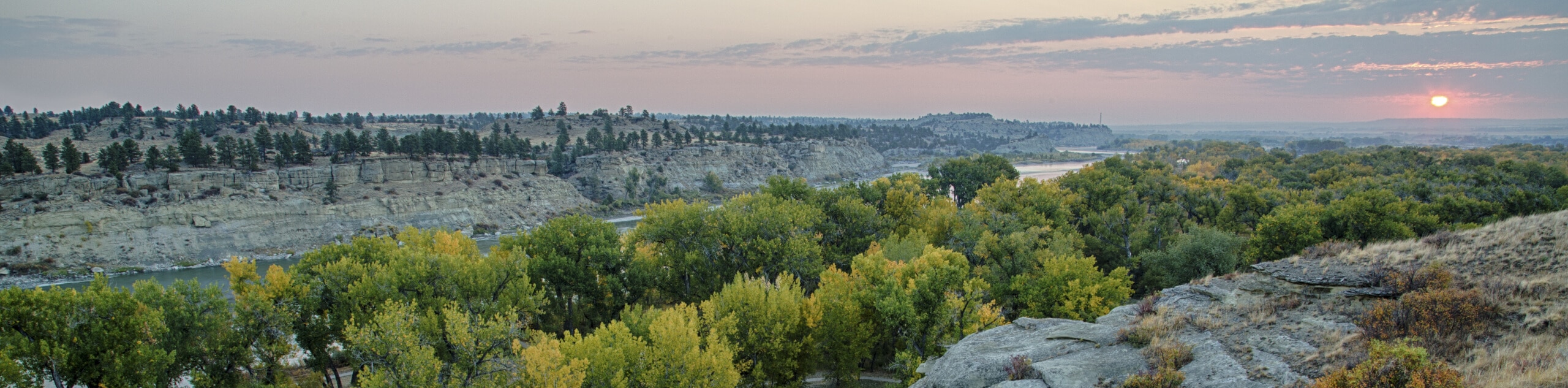
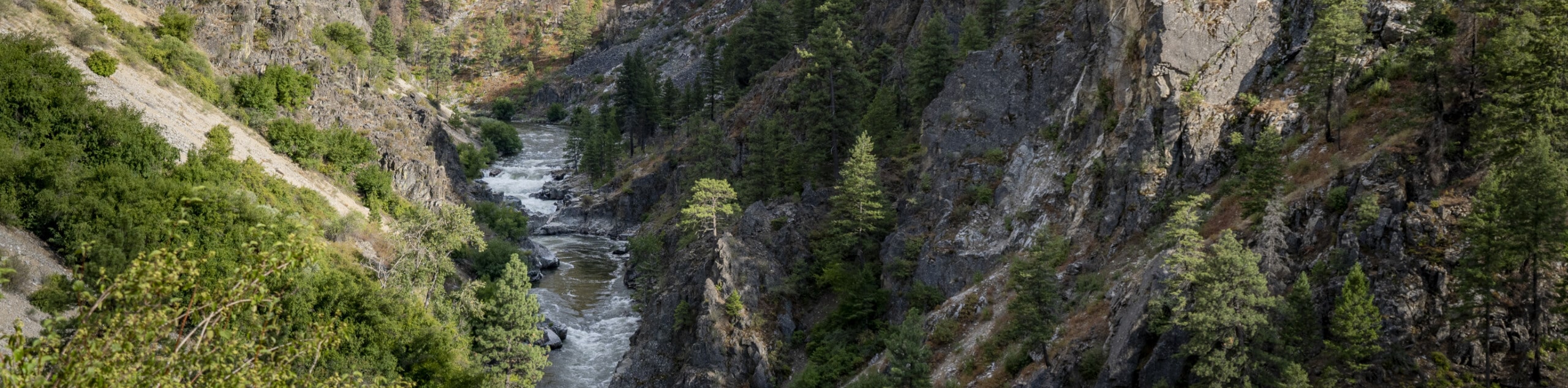
The Warm Springs Creek Falls Hike boasts an enchanting experience. This pleasant trail explores lush woodlands and meanders along Warm Springs Creek, which is adorned with an idyllic hot spring and mesmerizing cascades.
Getting there
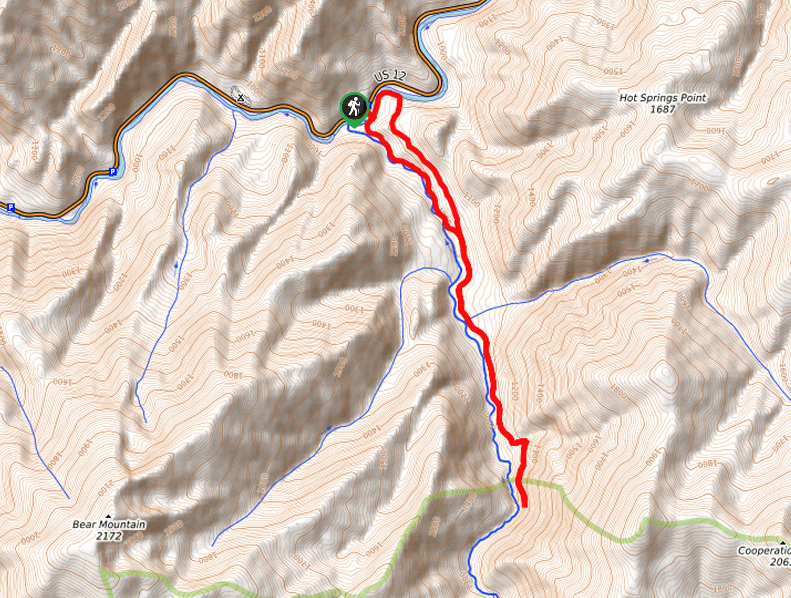
Access this hike from the parking lot and trailhead off US-12.

About
| Backcountry Campground | No |
| When to do | April-September |
| Pets allowed | Yes - On Leash |
| Family friendly | Older Children only |
| Route Signage | Average |
| Crowd Levels | Moderate |
| Route Type | Lollipop |
Warm Springs Creek Falls Hike
Elevation Graph
Weather
Warm Springs Creek Falls Hike Description
Treat yourself to a natural spa treatment along the Warm Springs Creek Falls Hike. This incredible adventure is well worth the detour into Idaho’s wilderness—trust us! If you do plan on indulging in mother nature’s hot tub, don’t forget to bring a swimsuit and towel. Don’t forget to test the waters before hopping in—they vary in temperature! While the trail GPS is not necessary, it may prove useful in navigating junctions and finding the trail’s end. Note that frequent visitation is having an impact on the fragile environment, so please practice the No Trace Principles.
Embark on your adventure from the parking lot off US-12. From here, you will carefully cross the highway and take the footbridge over the Lochsa River. After crossing the footbridge, you will be confronted with an intersection; veer right, and you will be diverted onto the Warm Springs Trail. Enjoy the tranquility of the wooded path and the relaxing sounds of the rushing water as you track south. Soon you will pass the hot springs, which will undoubtedly tempt you with a soak. After enjoying a blissful bath, continue south, fording Cooperation Creek. Turn back whenever you see fit, or use the trail GPS to find the ledge that overlooks the canyon and a charming waterfall.
Once you reach the turnaround point, retrace your footing along the path back to the junction with the Warm Springs Stock Bypass. Follow this route through a corridor of mixed cedars and pines to the Cooperation Trail. Turn left here and hike west which will ultimately deliver you back to the bridge over Lochsa River. From here, retrace your steps back to the parking lot.
Similar hikes to the Warm Springs Creek Falls Hike hike
Lewis and Clark Trail
The Lewis and Clark Trail is an excellent hike for those seeking an easy-going meander or a doable hike for…
Mount Sampson and Cannon Ball Mountain Hike
Treat yourself to spellbinding views of the Seven Devil Mountains along the Mount Sampson and Cannon Ball Mountain Hike. This…
Upper Cannon Lake Hike
The Upper Cannon Lake Hike is a long and involved adventure into the Seven Devils Mountains in the Nez Perce…
Comments