Mount Sampson and Cannon Ball Mountain Hike
View Photos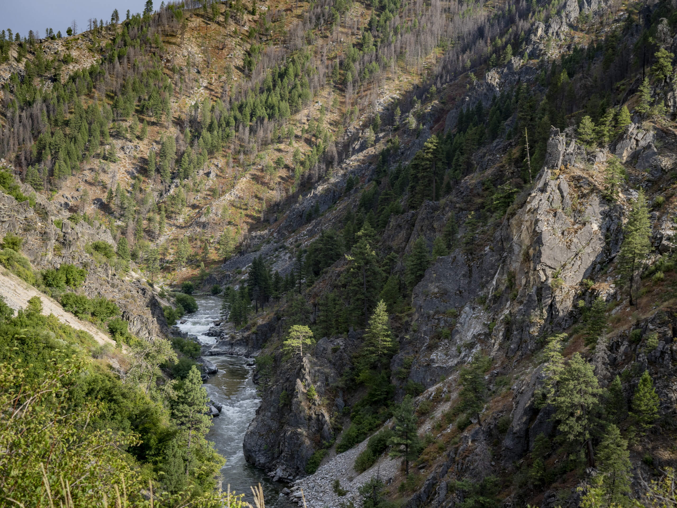
Mount Sampson and Cannon Ball Mountain Hike
Difficulty Rating:
Treat yourself to spellbinding views of the Seven Devil Mountains along the Mount Sampson and Cannon Ball Mountain Hike. This beautiful trail explores high plains and tree stands, leading experienced hikers up to the summit of not one but two summits in the Nez Perce National Forest.
Getting there
Access this hike from the W Fork Rapid River #133 Trailhead off Hackberry Flat Road.

About
| Backcountry Campground | Backcountry Camping |
| When to do | April-October |
| Pets allowed | Yes - On Leash |
| Family friendly | No |
| Route Signage | Poor |
| Crowd Levels | Low |
| Route Type | Out and back |
Mount Sampson and Cannon Ball Mountain Hike
Elevation Graph
Weather
Mount Sampson and Cannon Ball Mountain Hike Description
Those seeking a challenging adventure that rewards incredible views will enjoy the Mount Sampson and Cannon Ball Mountain Hike. This lovely adventure beckons the adventurous spirits who don’t mind some off-trail hiking. As much of the path is primitive and unmarked, we encourage the use of the trail GPS to seamlessly navigate the terrain. Note that much of the route is unshaded, so dress in layers and insurance against varying conditions and wear SPF to avoid overexposure. Don’t forget to pack plenty of water to stay hydrated along this long and involved excursion.
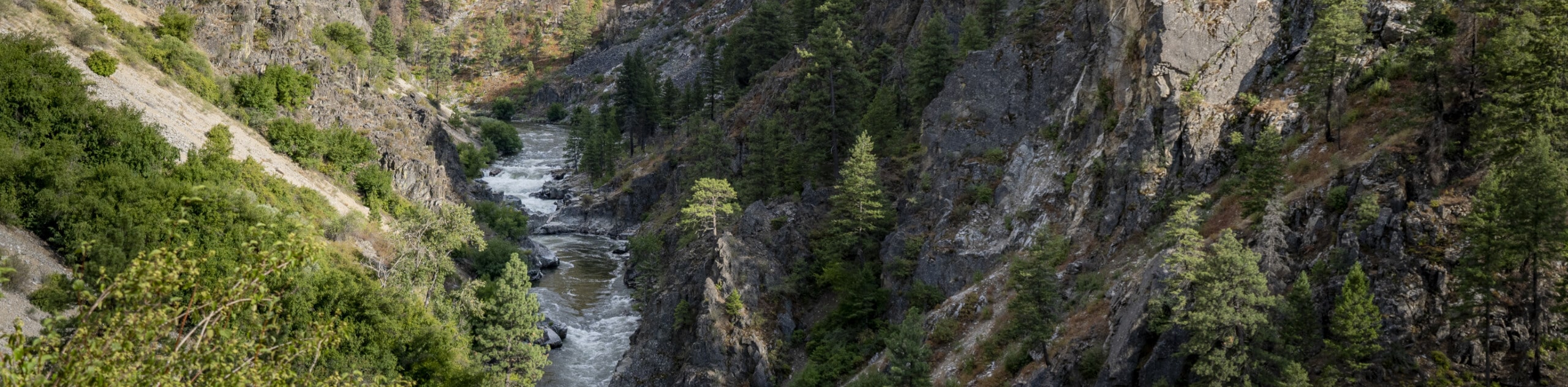
Embark on your journey from the W Fork Rapid River #133 Trailhead off Hackberry Flat Road. Setting out from there, the lovely path travels southwest along the contours of the Rapid Riverbanks. Enjoy the scene of kayakers enjoying the rapids, and after some hiking, you will reach an intersection and veer right here onto the Sampson Spring Trail. The exposed route will eventually dip into the forested Blue Gulch, which provides brief relief from the sun. Maintaining along the Sampson Spring Trail, the exposed route will eventually summit Mount Sampson.
Beyond this point, you will cross the saddle over to Cannon Ball Mountain. Take the time to admire the beauty and grandeur of the Seven Devil Mountains commanding the western skyline. When you are through reveling in the mountainous scenery, head back along the path all the way back to the trailhead.
Similar hikes to the Mount Sampson and Cannon Ball Mountain Hike hike
Lewis and Clark Trail
The Lewis and Clark Trail is an excellent hike for those seeking an easy-going meander or a doable hike for…
Fish Creek Loop Hike
The Fish Creek Loop Hike is a wonderful adventure in the Nez Perce National Forest that boasts a peaceful and…
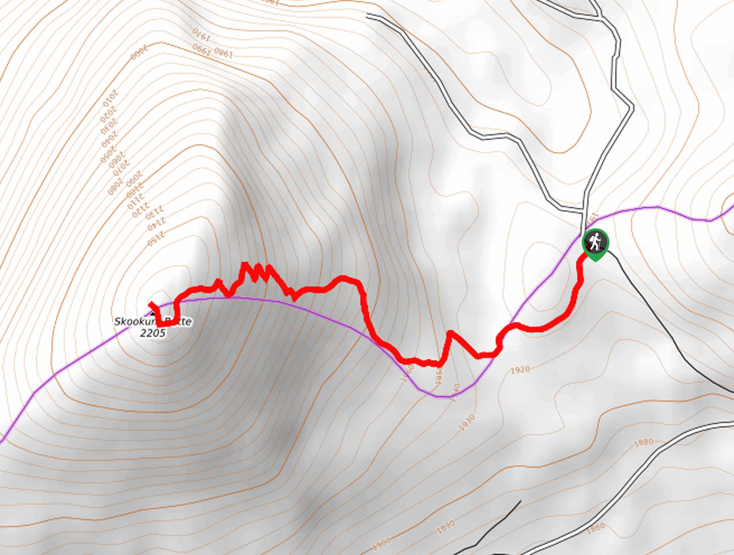
Skookum Butte Hike
What the Skookum Butte Hike lacks in distance, it makes up for in elevation gain. This short but scenic adventure…
Comments