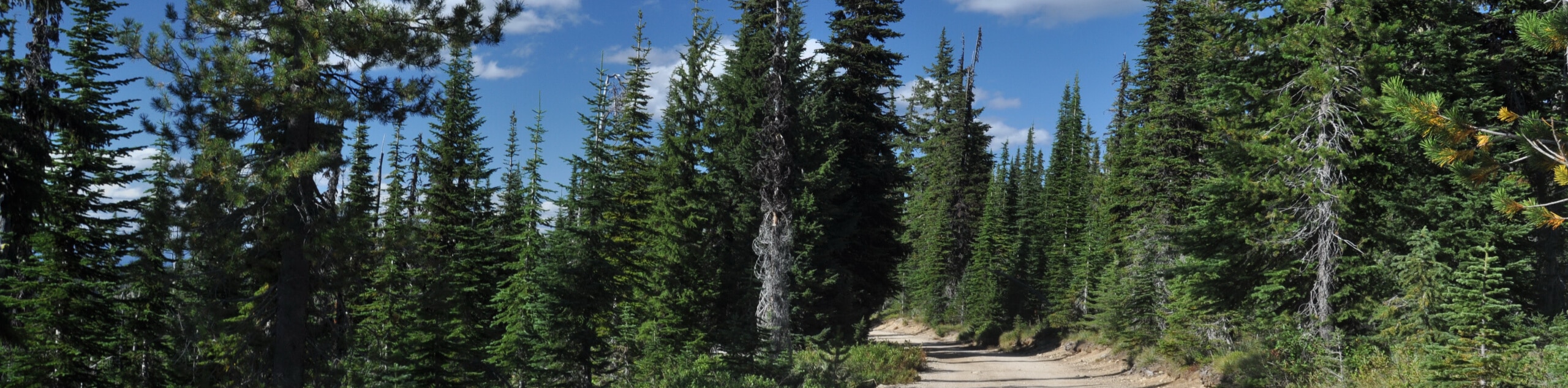
Camp Howard Trail
View Photos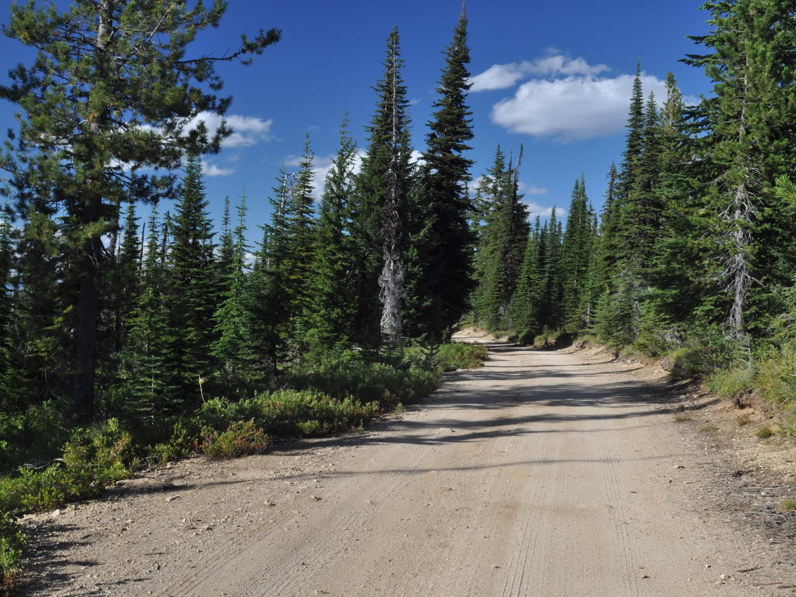
Camp Howard Trail
Difficulty Rating:
The Camp Howard Trail is a beautiful adventure along the grassy crests of the Seven Devils Mountains. Straddling the border between Idaho and Oregon, the vistas from atop the ridges are unlike no other. While this trek demands some effort, the payoff is well worth it!
Getting there
The Camp Howard Trail is accessed from the trailhead off Forest Road 76049.

About
| Backcountry Campground | Backcountry Camping |
| When to do | April-September |
| Pets allowed | Yes - On Leash |
| Family friendly | No |
| Route Signage | Poor |
| Crowd Levels | Low |
| Route Type | Out and back |
Camp Howard Trail
Elevation Graph
Weather
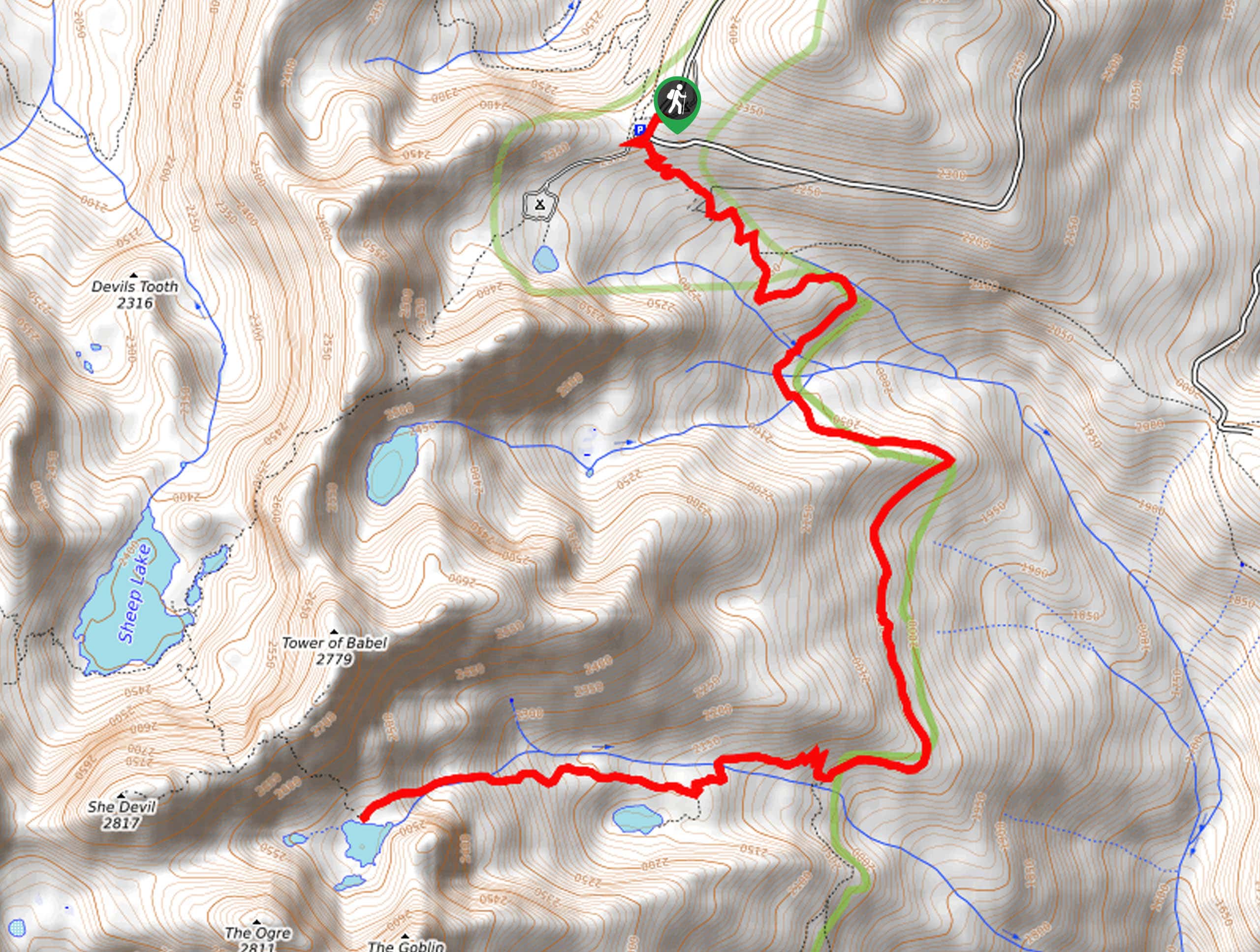
Camp Howard Trail Description
If you don’t mind some off-route navigation and isolation, the Camp Howard Trail will make a great addition to your hiking itinerary. This demanding adventure will get your heart pumping, so be sure to bring along plenty of water to stay hydrated. Additionally, as much of the route is exposed, we encourage you to dress in layers as insurance against varying weather conditions. Download the trail GPS and charge your camera; the scenery is picture perfect! Note the initial segment of this hike is shared with ATVs.
Departing from the trailhead at Motthorn Saddle, the Camp Howard Trail follows the old fireline northwardly. While much of the path is exposed, there are sporadic tree stands that provide some protection from the elements. Consistently climbing, you will eventually pass by Wild Horse Butte, which rises in the west. After some hiking, you will reach an intersection with the Deer Creek Trail, keep left here, but take the time to nice the meandering creek below.
Following the Camp Howard Trail, using the trail GPS as needed, you will ultimately reach the trail’s end at the junction with the Camp Howard Jeep Trail. Admire the scene of the encompassing Seven Devil Mountains and Devils Canyon in the west. When you are ready, head back to the trailhead via the way you came.
Similar hikes to the Camp Howard Trail hike
Lewis and Clark Trail
The Lewis and Clark Trail is an excellent hike for those seeking an easy-going meander or a doable hike for…
Mount Sampson and Cannon Ball Mountain Hike
Treat yourself to spellbinding views of the Seven Devil Mountains along the Mount Sampson and Cannon Ball Mountain Hike. This…
Upper Cannon Lake Hike
The Upper Cannon Lake Hike is a long and involved adventure into the Seven Devils Mountains in the Nez Perce…
Comments