Skyline, Mazama, Wonderland, and Lower Lakes Loop
View Photos
Skyline, Mazama, Wonderland, and Lower Lakes Loop
Difficulty Rating:
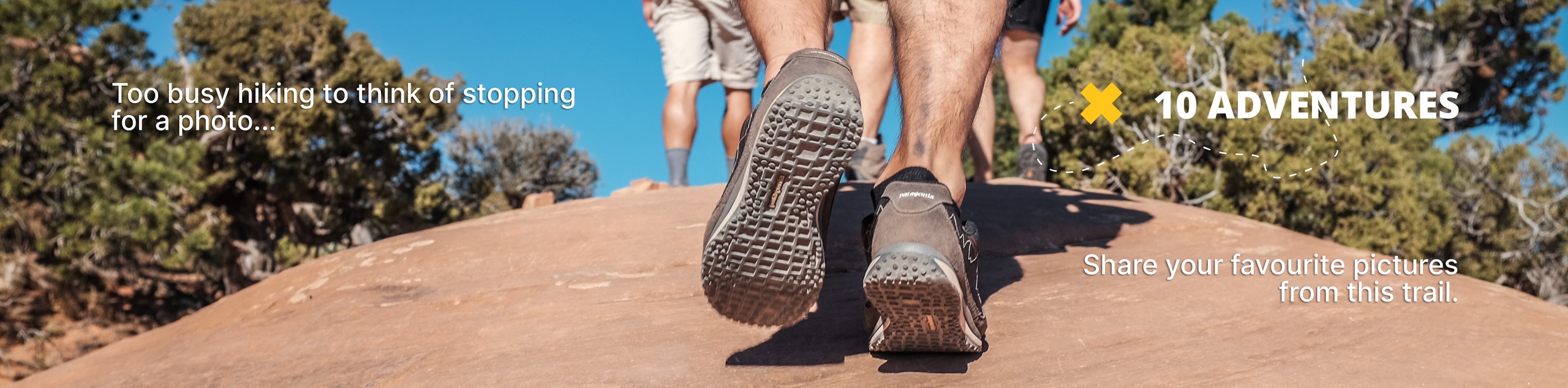
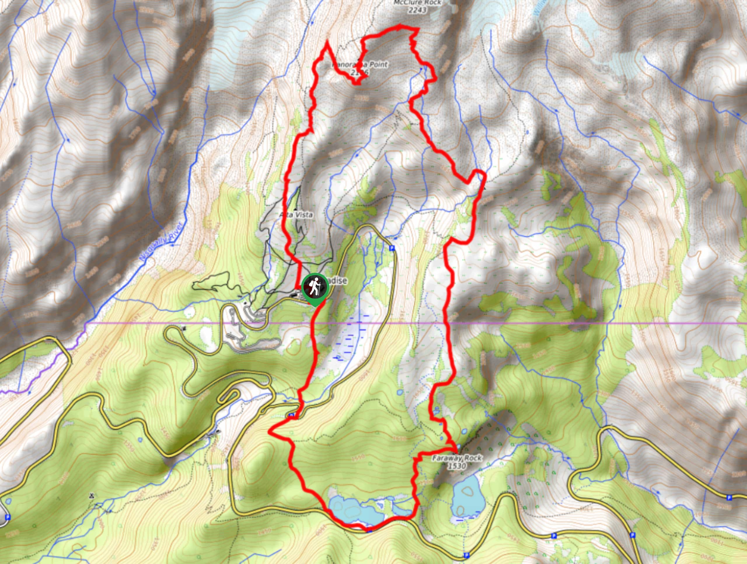
The Skyline, Mazama, Wonderland, and Lower Lakes Trail Loop is a 8.4mi hard hike in Mount Rainier National Park that offers great mountain views, wildflowers, and the ability to customize your hike on the plethora of trails in the area. This hike is often regarded as just challenging enough while offering great rewards for your efforts. Bring bug spray and lots of water.
Getting there
The trailhead for the Skyline, Mazama, Wonderland, and Lower Lakes Loop is at the upper Paradise area off Longmire-to-Paradise Road between the cafe and restrooms.

About
| Backcountry Campground | No |
| When to do | July-October |
| Pets allowed | No |
| Family friendly | No |
| Route Signage | Average |
| Crowd Levels | Moderate |
| Route Type | Loop |
Skyline, Mazama, Wonderland, and Lower Lakes Loop
Elevation Graph
Weather
Skyline, Mazama, Wonderland, and Lower Lakes Loop Description
This loop is an ultimate choice to pack in the mountain views while hiking near Paradise. You’ll enjoy Panorama Point, Faraway Rock, Glacier Vista, and lots more. Make sure you have bug spray for this trail.
The hike begins on the Skyline Trail between the restrooms and the cafe at Paradise. You’ll want to take the branch that heads north. Cross Deadhorse Creek, staying left at the junction just before the river crossing. You’ll be on Dead Horse Creek Trail, staying right onto Skyline Trail at the Y-junction. You can pop out to the left to stop in at Glacier Vista before continuing if you’d like.
Keep hiking roughly north, following Skyline as it sharply turns southeast. Pass Panorama Point (again, perhaps taking a quick side trip here to appreciate it fully). Keep hiking along Skyline to the junction with Mazama Ridge Trail, where you’ll turn left and then stay left.
At the junction with Wonderland, stay right. Pass Reflection Lakes, saying right onto Lower Lakes Trail and looping back up to Paradise to complete your hike.
Similar hikes to the Skyline, Mazama, Wonderland, and Lower Lakes Loop hike

Paul Peak Trail
The Paul Peak Trail is a 6.3mi lightly trafficked out and back trail in Mount Rainier National Park…

Narada Falls to Mazama Ridge Loop
The Narada Falls to Mazama Ridge loop is an 7.4mi moderately trafficked route in Mount Rainier National Park…

Camp Summerland via Wonderland Trail
The hike to Camp Summerland on the Wonderland Trail is a 8.4mi moderately trafficked out and back trail…
Comments