Shriner Peak Hike
View Photos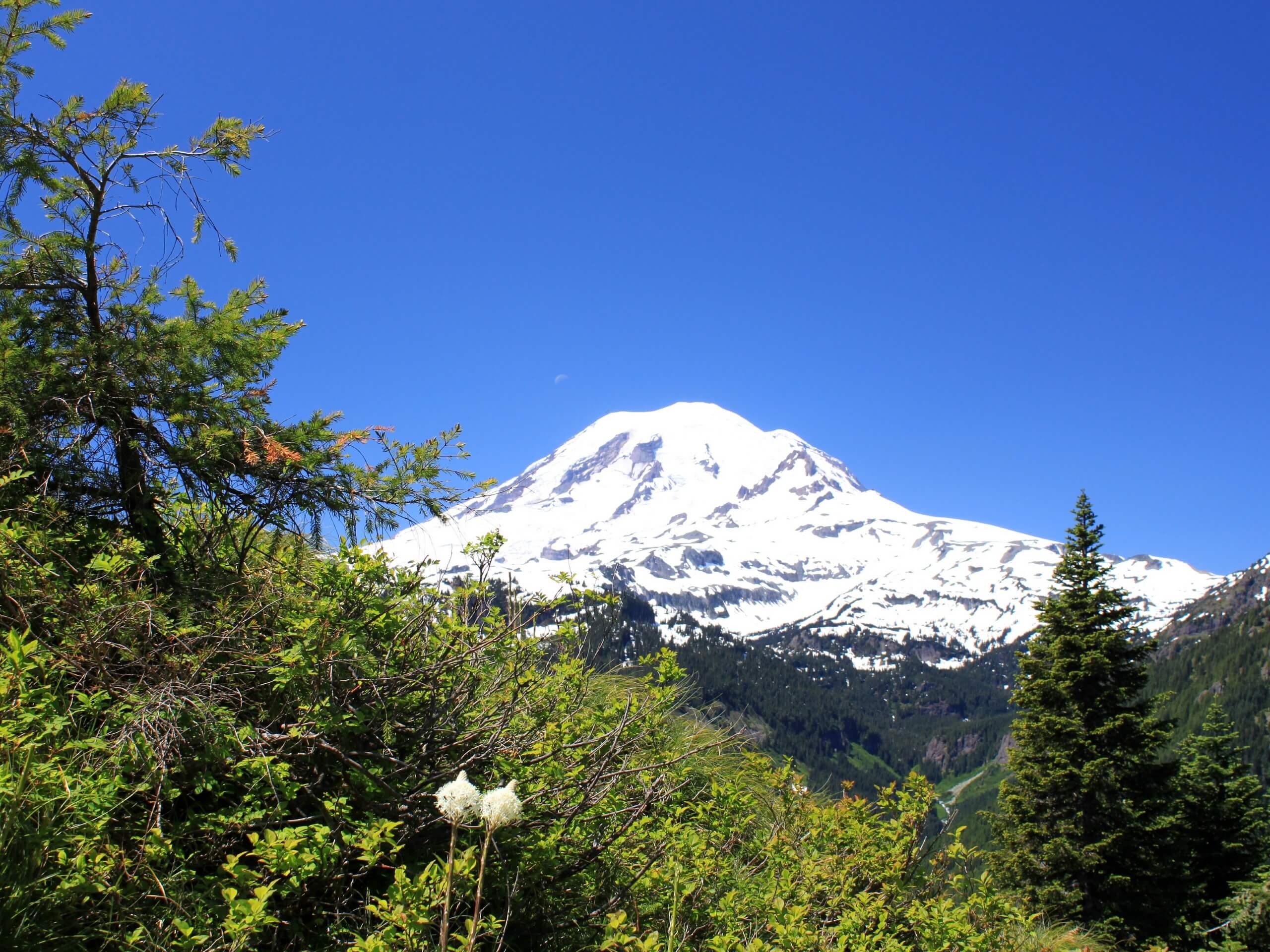
Shriner Peak Hike
Difficulty Rating:
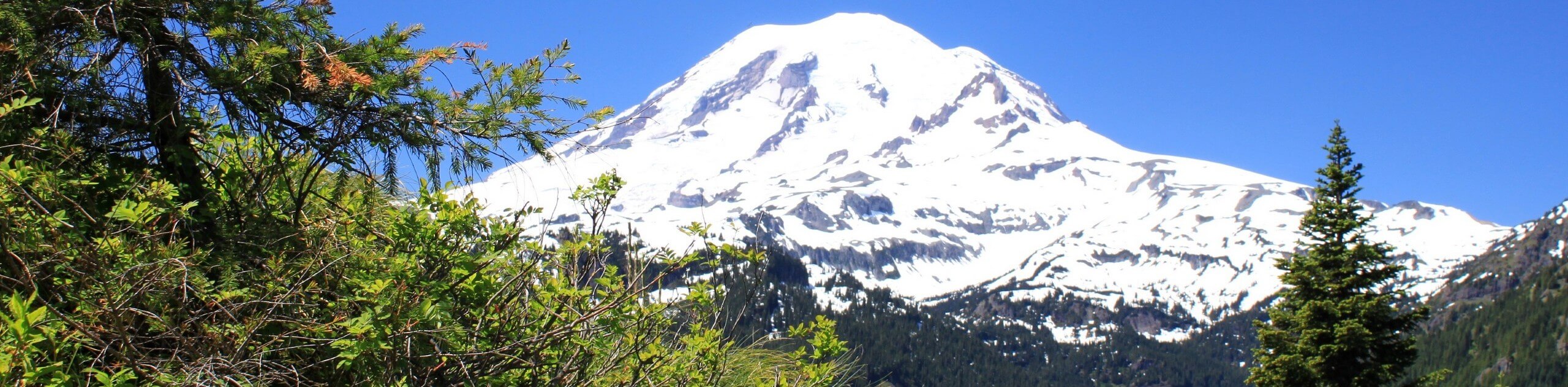
The hike to Shriner Peak is an 8.5mi lightly trafficked trail in Mount Rainier National Park. This under-appreciated hike offers a wonderful view of Mount Rainier, a solid workout, and a more peaceful trail than you tend to find in the park. With some sweaty switchbacks leading to a wide lookout and plenty of wildflowers to enjoy, you’ll love this adventure.
Getting there
To reach the Shriner Peak trailhead from Enumclaw, head east on State Route 410 for 47.0mi. Merge right into State Route 123. The parking area will be on your right in about 7.5mi. Look for the trailhead on the east side of the road.

About
| Backcountry Campground | No |
| When to do | June-September |
| Pets allowed | No |
| Family friendly | No |
| Route Signage | Average |
| Crowd Levels | Low |
| Route Type | Out and back |
Shriner Peak Hike
Elevation Graph
Weather
Shriner Peak Trail Description
The Shriner Peak hike is an under-appreciated trek in Mount Rainier National Park, offering a less-busy trail to a fantastic viewpoint over Mount Rainier. This trail is a good workout, but it’s very exposed to the hot sun, so we recommend hiking it early in the morning or on cooler days and bringing lots of water. Come prepared with water, sunscreen, a hat, and sunglasses. It’s a great option for fall when the leaves start to change!
From the trailhead, you’ll immediately start gaining elevation. You’ll hike parallel to Panther Creek, then enter an old burn area. Cross this stretch and then begin a series of switchbacks to the ridge under the peak.
At 2.5mi, you’ll get a fantastic view of Mount Rainier. Another 0.8mi later, you’ll be able to see Shriner Lake. Complete the final few switchbacks to the summit, from where you’ll be able to see Mount Rainier, Little Tahoma, Sourdough Ridge, and much more. Soak up this hard-earned panorama before retracing your steps.
Similar hikes to the Shriner Peak Hike hike

Paul Peak Trail
The Paul Peak Trail is a 6.3mi lightly trafficked out and back trail in Mount Rainier National Park…

Narada Falls to Mazama Ridge Loop
The Narada Falls to Mazama Ridge loop is an 7.4mi moderately trafficked route in Mount Rainier National Park…

Camp Summerland via Wonderland Trail
The hike to Camp Summerland on the Wonderland Trail is a 8.4mi moderately trafficked out and back trail…
Comments