Kautz Creek Trail
View Photos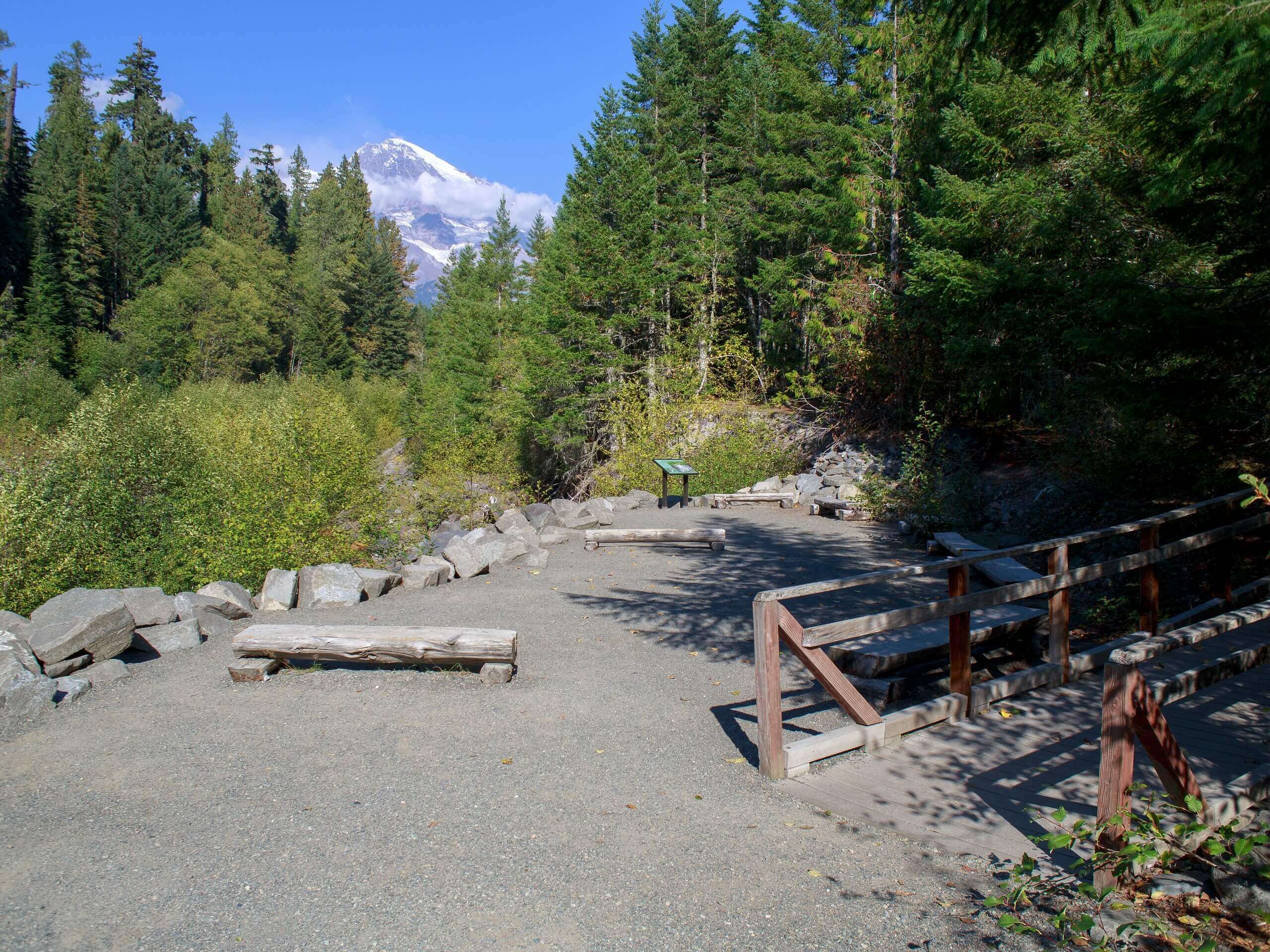
Kautz Creek Trail
Difficulty Rating:
The Kautz Creek Trail to Indian Henry’s Hunting Ground is an 11.0mi hard hike in Mount Rainier National Park that will test your endurance en route to a historic area of the park. This long, steep trail leads to a picturesque meadow that used to be home to a Native American mountain guide who guided many of the founders of the park. Bring lots of water and lots of bug repellent for this one!
Getting there
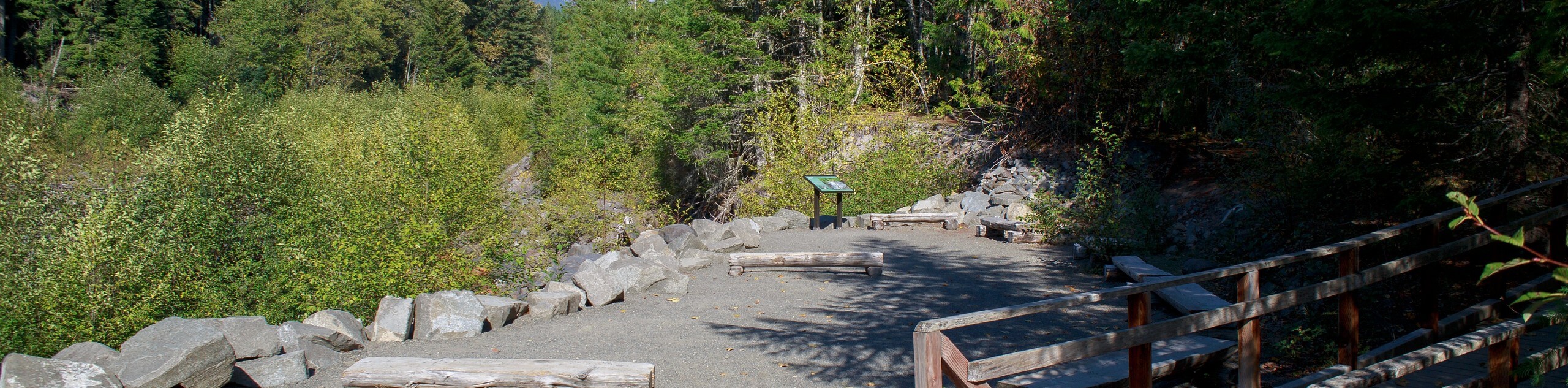
To get to the trailhead for the Kautz Creek Trail from the Nisqually entrance to the park, drive east and look for a parking area with facilities on the right-hand side of the road just after a bridge and a culvert.

About
| Backcountry Campground | No |
| When to do | July-October |
| Pets allowed | No |
| Family friendly | No |
| Route Signage | Average |
| Crowd Levels | Moderate |
| Route Type | Out and back |
Kautz Creek Trail
Elevation Graph
Weather
Kautz Creek Trail Description
The hike on Kautz Creek Trail is a long, arduous one, but it leads to a very special part of Mount Rainier National Park. You’ll arrive in Indian Henry’s Hunting Ground, the former home of a Native American guide named So-To-Lick who provided guidance to the founders of the park many years ago. Bring lots of water and bug spray on this trail, as the elevation gain is constant and the bugs can be plentiful.
The trail begins from the north side of the road, switchbacking through the forest. The ascent is consistent and unrelenting to the summit ridge of Mount Ararat, where you’ll have a great view of Rainier. Continue on, crossing meadows about 4.0mi in. From the meadows, continue for a mile to the junction with the Wonderland Trail.
The junction marks the entrance into the hunting grounds (not hunting grounds anymore). You can enjoy the picnic table at the ranger’s cabin or just enjoy the flower-filled area.
Return the way you came when you’re ready, or go on a bit further to Mirror Lake.
Similar hikes to the Kautz Creek Trail hike

Paul Peak Trail
The Paul Peak Trail is a 6.3mi lightly trafficked out and back trail in Mount Rainier National Park…

Narada Falls to Mazama Ridge Loop
The Narada Falls to Mazama Ridge loop is an 7.4mi moderately trafficked route in Mount Rainier National Park…

Camp Summerland via Wonderland Trail
The hike to Camp Summerland on the Wonderland Trail is a 8.4mi moderately trafficked out and back trail…
Comments