Fay Peak Trail
View Photos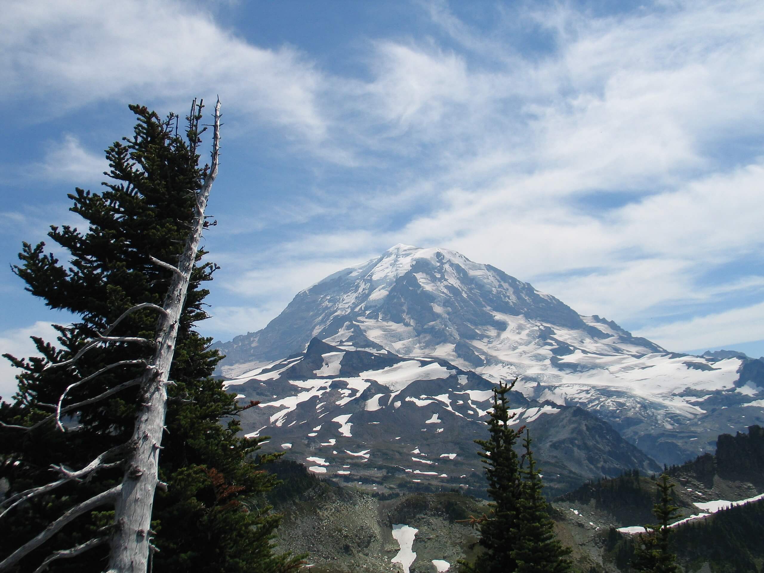
Fay Peak Trail
Difficulty Rating:
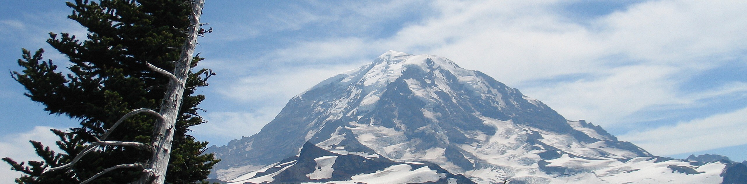
The Fay Peak Trail is a 2.7mi lightly trafficked trail in Mount Rainier National Park that is rated as hard. This hike offers great views of the top over Mowich Lake, but it requires a good steep push to reach the summit. Make sure you bring bug spray for this one!
Getting there
The trailhead for the Fay Peak hike is found at the Mowich Lake Campground. Drive to the eastern terminus of Mowich Lake Road and park in the hiker’s parking area.

About
| Backcountry Campground | Mowich Lake Campground |
| When to do | June-October |
| Pets allowed | No |
| Family friendly | No |
| Route Signage | Poor |
| Crowd Levels | Low |
| Route Type | Out and back |
Fay Peak Trail
Elevation Graph
Weather
Fay Peak Trail Description
The hike on Fay Peak trail packs a good bit of sweat into a short hike, getting your heart rate up in exchange for panoramic views over Mowich Lake and the far northwestern corner of the park. We recommend bringing bug spray for this one, much like most other trails in Mount Rainier National Park.
The trail begins in Mowich Lake Campground, following the Wonderland Trail around the southeastern side of the lake and picking up Knapsack Pass Trail just past the ranger station. Where Knapsack Pass Trail and Pay Peak Trail meet, keep right onto Fay Peak.
Wind your way towards the peak, preparing for a final steep push to the 6306ft summit. From the top, enjoy views over Mowich Lake and beyond. To return, simply retrace your steps back to the lake.
Similar hikes to the Fay Peak Trail hike

Paul Peak Trail
The Paul Peak Trail is a 6.3mi lightly trafficked out and back trail in Mount Rainier National Park…

Narada Falls to Mazama Ridge Loop
The Narada Falls to Mazama Ridge loop is an 7.4mi moderately trafficked route in Mount Rainier National Park…

Camp Summerland via Wonderland Trail
The hike to Camp Summerland on the Wonderland Trail is a 8.4mi moderately trafficked out and back trail…
Comments