Dege Peak Trail
View Photos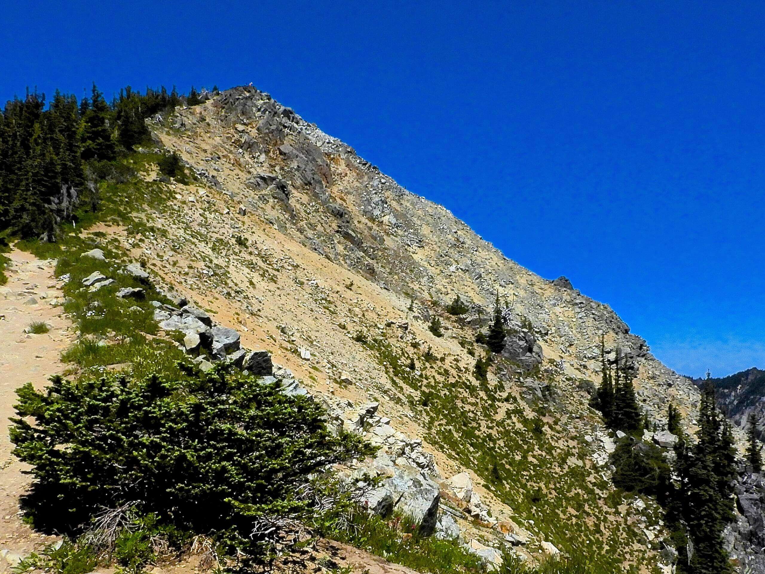
Dege Peak Trail
Difficulty Rating:
The Dege Peak Trail is a 4.0mi lightly trafficked hike in Mount Rainier National Park that offers a unique view of Mount Rainier, backing up your viewpoint a bit to offer a panoramic glimpse of the mountain and the park’s surrounding peaks. With an unobstructed view at the top, this hike delivers a lot for a very reasonable effort.
Getting there
To get to the trailhead for the Dege Peak Trail from the White River entrance to Mount Rainier National Park, take Sunrise Road to the last hairpin turn. Here, you’ll pass the Sunrise Point parking lot. Go on to the last parking lot where the lodge is. While the hike can be started from Sunrise Point, there are facilities at the Visitor Center.

About
| Backcountry Campground | No |
| When to do | July-October |
| Pets allowed | No |
| Family friendly | Older Children only |
| Route Signage | Average |
| Crowd Levels | Moderate |
| Route Type | Out and back |
Dege Peak Trail
Elevation Graph
Weather
Dege Peak Trail Description
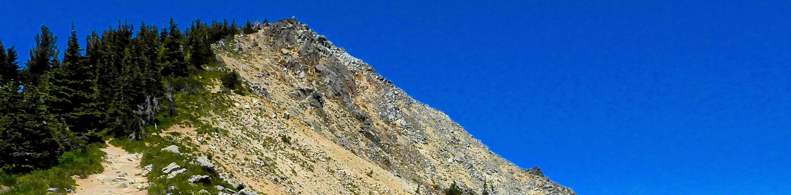
While many trails in the Sunrise area take you up close to Rainier, the Dege Peak Trail takes things back a bit, giving you a more panoramic view of the peak and the surrounding scenery. This trail is generally lightly trafficked despite the great panorama at the top, so it’s a perfect choice to get away from the crowds while still enjoying fantastic views.
The trail begins from Sunrise. Walk north past the restrooms and go up the large stairs. Walk through Yakima Park to a Y-intersection, where you’ll keep right.
After a half-mile, you’ll crest the ridge, from where you can see Huckleberry Basin. Hike underneath Antler Peak, then about two miles in, a spur trail to the left leads you to the peak. From here, you can see Rainier, Mount Adams, Mount St. Helens, Glacier Peak, and the Cowlitz Chimneys.
When you’re ready, return the way you came.
Similar hikes to the Dege Peak Trail hike

Paul Peak Trail
The Paul Peak Trail is a 6.3mi lightly trafficked out and back trail in Mount Rainier National Park…

Narada Falls to Mazama Ridge Loop
The Narada Falls to Mazama Ridge loop is an 7.4mi moderately trafficked route in Mount Rainier National Park…

Camp Summerland via Wonderland Trail
The hike to Camp Summerland on the Wonderland Trail is a 8.4mi moderately trafficked out and back trail…
Comments