Deadhorse Creek Trail to Golden Gate Loop
View Photos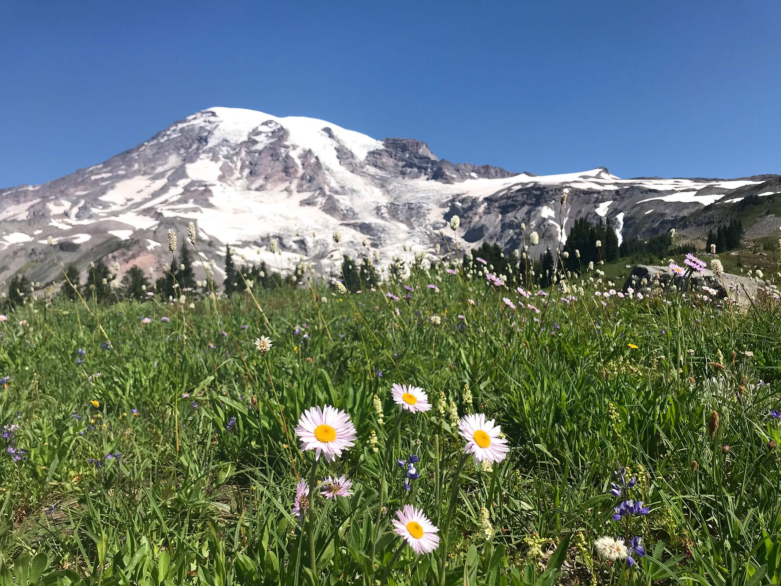
Deadhorse Creek Trail to Golden Gate Loop
Difficulty Rating:
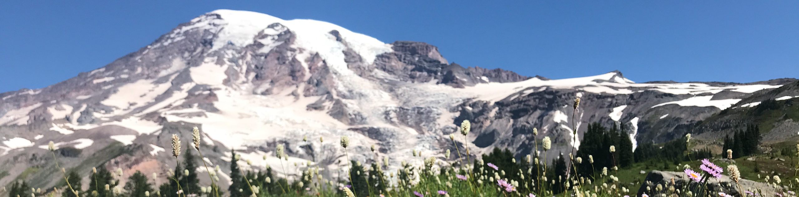
The Deadhorse Creek Trail to Golden Gate Loop is a 4.8mi moderately trafficked loop trail in Mount Rainier National Park that is rated as moderate. This loop makes use of two popular trails to offer great views of the Paradise region of Mount Rainier National Park. Because of the dense network of trails in the area, it’s easy to combine this trail with another hike nearby.
Getting there
To get to the trailhead for the Deadhorse Creek Trail and Golden Gate Loop from the east entrance to the park, take Highway 123 to Stevens Canyon Road. 19.0mi from the turnoff, turn right onto Paradise Road East. In just over two miles, park at the upper lot.

About
| Backcountry Campground | No |
| When to do | April-September |
| Pets allowed | No |
| Family friendly | Older Children only |
| Route Signage | Average |
| Crowd Levels | Moderate |
| Route Type | Loop |
Deadhorse Creek Trail to Golden Gate Loop
Elevation Graph
Weather
Deadhorse Creek Trail and Golden Gate Loop Description
This pretty, moderate loop hike in the Paradise area of Mount Rainier National Park is a great option for intermediate hikers looking to enjoy views over the endless old-growth forests, alpine meadows, and mountains of the park. Bring bug spray on this hike!
The trail begins from the upper lot at Paradise, to the left of the restrooms. Take Waterfall Trail to Deadhorse Creek Trail, crossing the namesake creek. When Deadhorse Creek merges with Skyline, continue roughly north, keeping right at the split with Glacier Vista Trail.
Skyline eventually turns sharply right. Continue to Panorama Point, and then shortly thereafter, take the Upper Skyline Trail that branches right (if you hit Pebble Creek, you’ve gone too far). Continue to Golden Gate Falls, switchbacking down Golden Gate Trail.
The trail merges with Skyline and passes Myrtle Falls. Continue on Skyline back to Paradise.
Similar hikes to the Deadhorse Creek Trail to Golden Gate Loop hike

Paul Peak Trail
The Paul Peak Trail is a 6.3mi lightly trafficked out and back trail in Mount Rainier National Park…

Narada Falls to Mazama Ridge Loop
The Narada Falls to Mazama Ridge loop is an 7.4mi moderately trafficked route in Mount Rainier National Park…

Camp Summerland via Wonderland Trail
The hike to Camp Summerland on the Wonderland Trail is a 8.4mi moderately trafficked out and back trail…
Comments