
Dead Horse Creek Trail
View Photos
Dead Horse Creek Trail
Difficulty Rating:
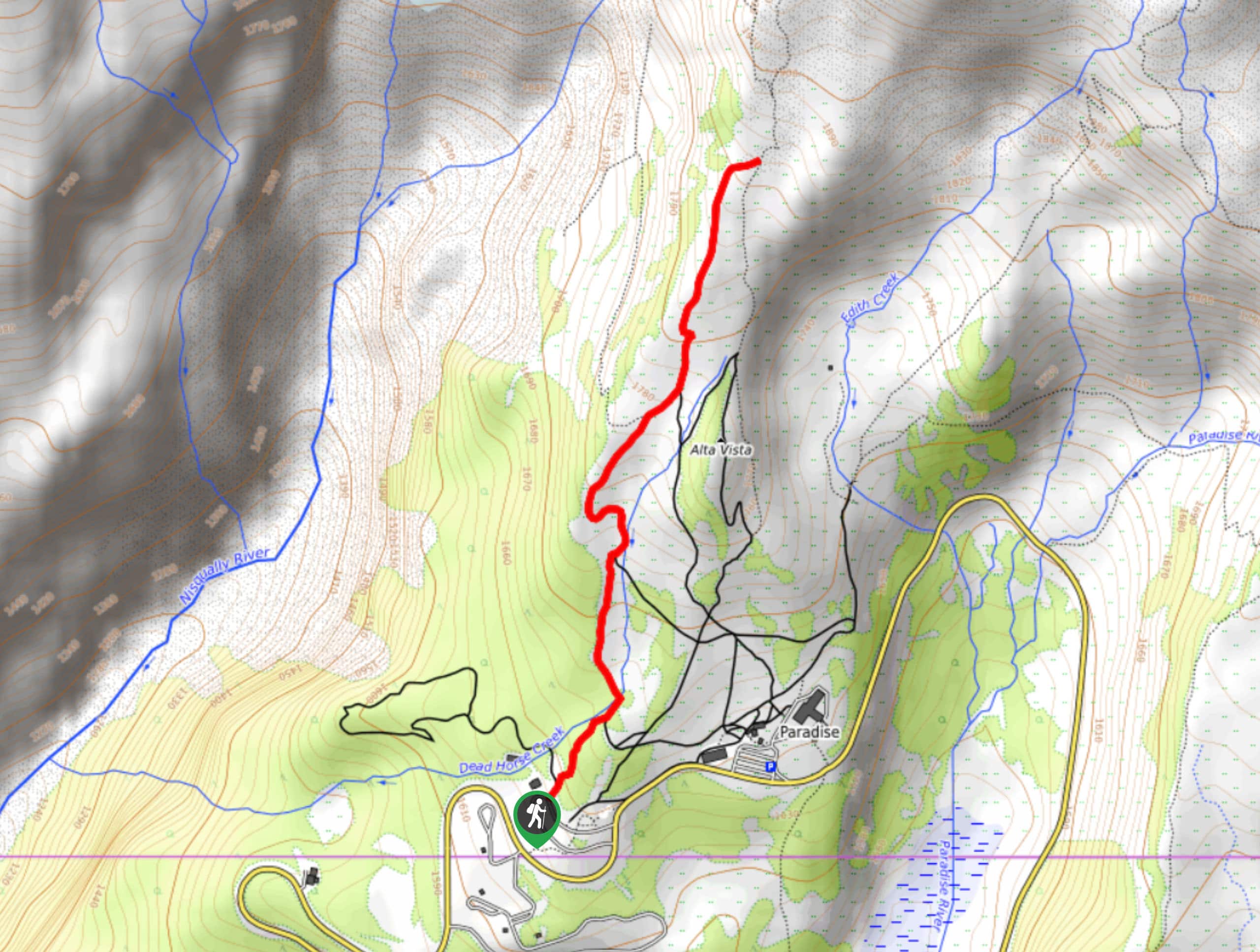
The Dead Horse Creek Trail is an easy 2.2mi hike in Mount Rainier National Park on a paved path with enjoyable views. You’ll be able to appreciate Mount Rainier and the mountains to the south of it along with lush wildflowers in the midsummer.
Getting there
To get to the trailhead for the Dead Horse Creek Trail from the east entrance to the park, take Highway 123 to Stevens Canyon Road. 19.0mi from the turnoff, turn right onto Paradise Road East. In 2.0mi, park at the lower lot.

About
| Backcountry Campground | No |
| When to do | July-September |
| Pets allowed | No |
| Family friendly | Yes |
| Route Signage | Average |
| Crowd Levels | Moderate |
| Route Type | Out and back |
Dead Horse Creek Trail
Elevation Graph
Weather
Dead Horse Creek Trail Description
The hike on Dead Horse Creek Trail is an easy, pleasant hike on a paved pathway with views of Mount Rainier. While the path is paved and simple, there is still some elevation change to consider, but it’s mild.
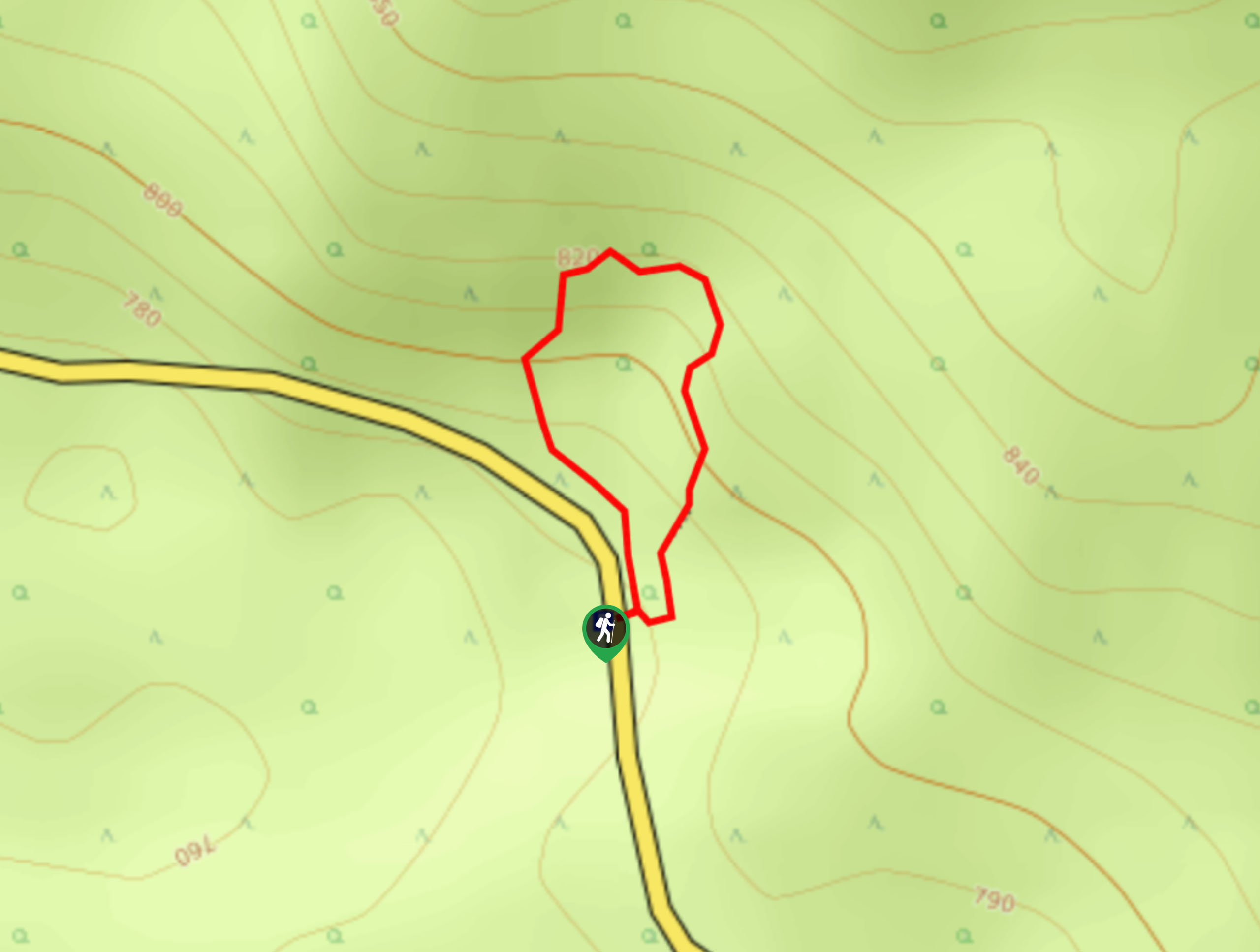
The trail begins from the smaller parking area at Paradise. Take the trail at the end of the road loop that heads northeast. The trail crosses Dead Horse Creek and then meanders next to it. The path is paved and gains elevation gradually. At sunrise, the view of Mount Rainier is excellent.
The hike ends at the intersection with Skyline Trail about 1.1mi in. Turn back here, or customize your hike by looping around the Skyline Trail.
Similar hikes to the Dead Horse Creek Trail hike
Twin Firs Loop Trail
Twin Firs Loop is a 0.3mi hike in Mount Rainier National Park that is incredibly easy, making it…

Paul Peak Trail
The Paul Peak Trail is a 6.3mi lightly trafficked out and back trail in Mount Rainier National Park…

Narada Falls to Mazama Ridge Loop
The Narada Falls to Mazama Ridge loop is an 7.4mi moderately trafficked route in Mount Rainier National Park…
Comments