Burroughs Mountain Loop via Glacier Basin Trail
View Photos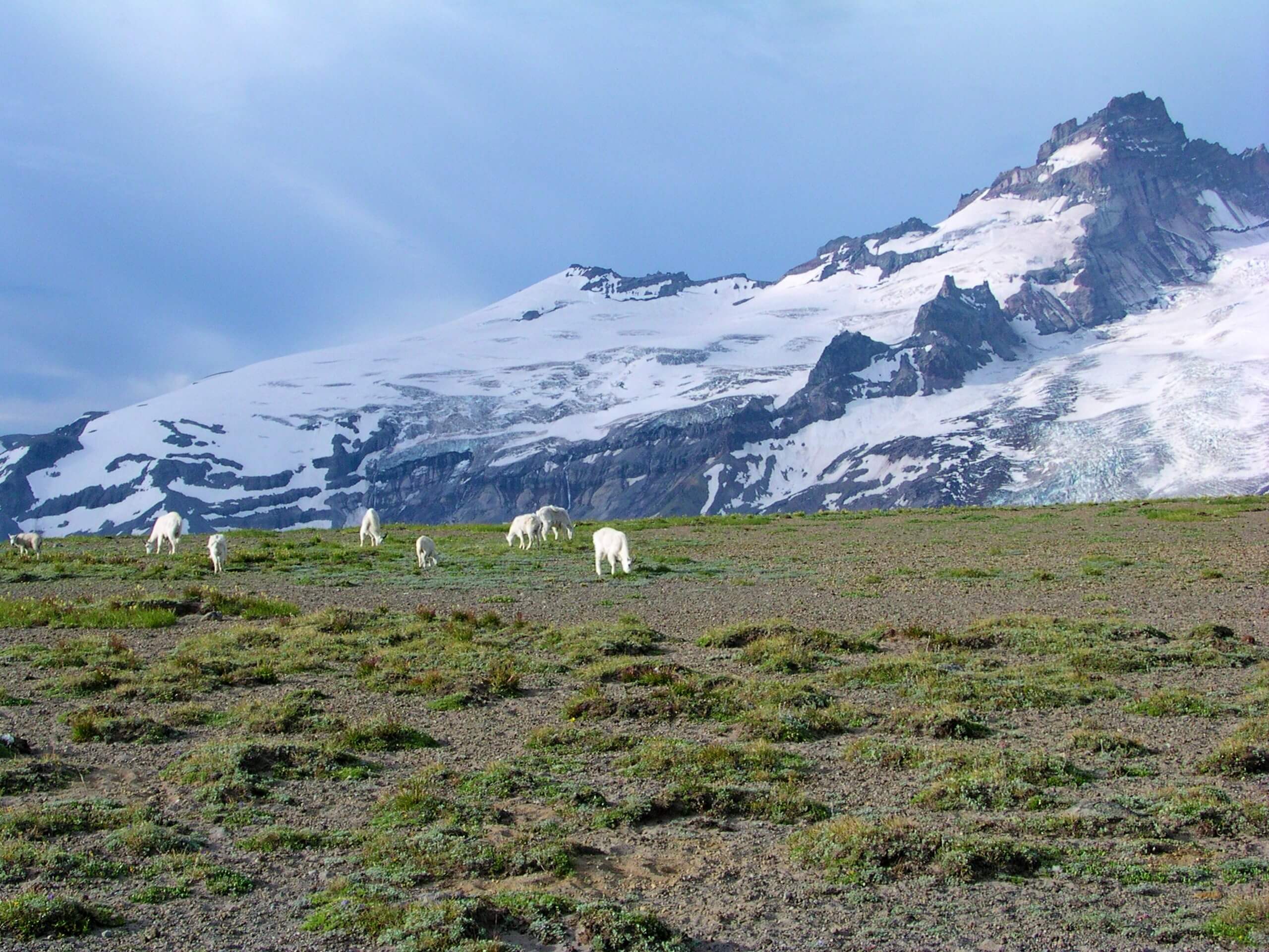
Burroughs Mountain Loop via Glacier Basin Trail
Difficulty Rating:
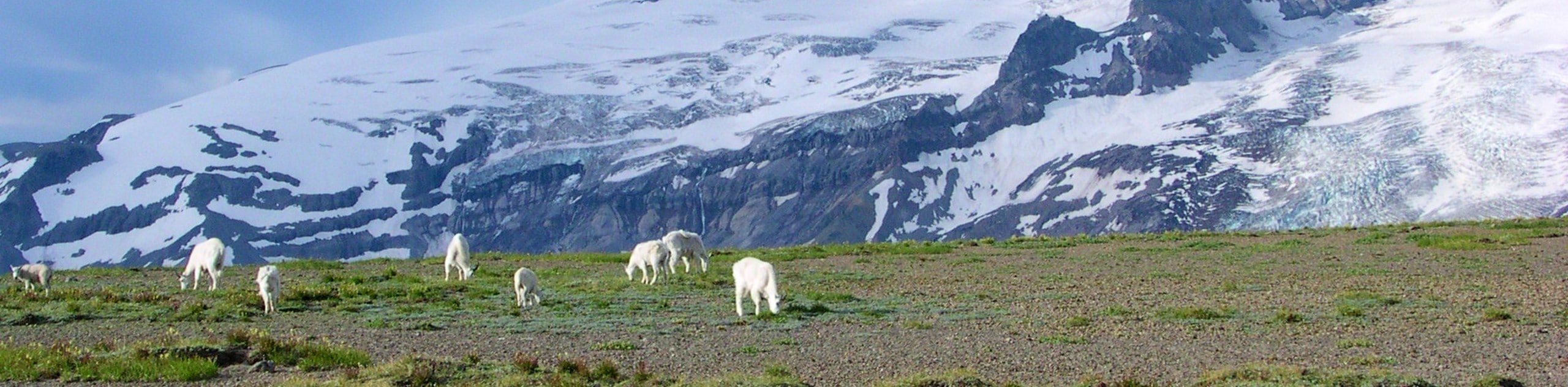
The Burroughs Mountain Loop via Glacier Basin Trail is a 10.3mi hard hike in Mount Rainier National Park that takes you between three peaks to various viewpoints. The trail is long but worth the effort, granting you up-close views of Mount Rainier, the Emmons Glacier, Sourdough Ridge, Mount Fremont, and more. If the full hike is too long for you, you can turn back from the first or second peaks and still have a fantastic day.
Getting there
The trailhead for this hike is at the end of the White River Campground Road. Take the road to the eastern terminus, parking in the trailhead parking lot. The hike begins next to the patrol cabin.

About
| Backcountry Campground | White River Campground |
| When to do | July-October |
| Pets allowed | No |
| Family friendly | No |
| Route Signage | Average |
| Crowd Levels | Moderate |
| Route Type | Loop |
Burroughs Mountain Loop via Glacier Basin Trail
Elevation Graph
Weather
Burroughs Mountain Loop via Glacier Basin Trail Description
The Burroughs Mountain Loop via Glacier Basin Trail offers unique views from three different summits in one hike, providing the opportunity to push to the furthest peak or reduce your distance if you want a shorter, but still rewarding adventure. From atop the Burroughs, you’ll be able to enjoy Shadow Lake, Sourdough Ridge, Emmons Glacier, and lots more.
If you’d prefer a more moderate journey or the conditions are wet or snowy, we recommend making 2nd Burroughs your turnaround point.
From the White River trailhead, head west on Glacier Basin Trail. At the junction with Burroughs Mountain Trail, keep right. You’ll begin to switchback, climbing up to the summit of the 1st Burroughs. From atop the mountain, follow the trail, keeping left, to 2nd Burroughs.
After the second peak, you’ll reach a 5-way junction. Stay straight onto Sourdough Ridge Trail, skirting Frozen Lake. Stay on this trail as it loses elevation back to the White River Campground, your starting point.
Similar hikes to the Burroughs Mountain Loop via Glacier Basin Trail hike

Paul Peak Trail
The Paul Peak Trail is a 6.3mi lightly trafficked out and back trail in Mount Rainier National Park…

Narada Falls to Mazama Ridge Loop
The Narada Falls to Mazama Ridge loop is an 7.4mi moderately trafficked route in Mount Rainier National Park…

Camp Summerland via Wonderland Trail
The hike to Camp Summerland on the Wonderland Trail is a 8.4mi moderately trafficked out and back trail…
Comments