Myrtle Falls Hike
View Photos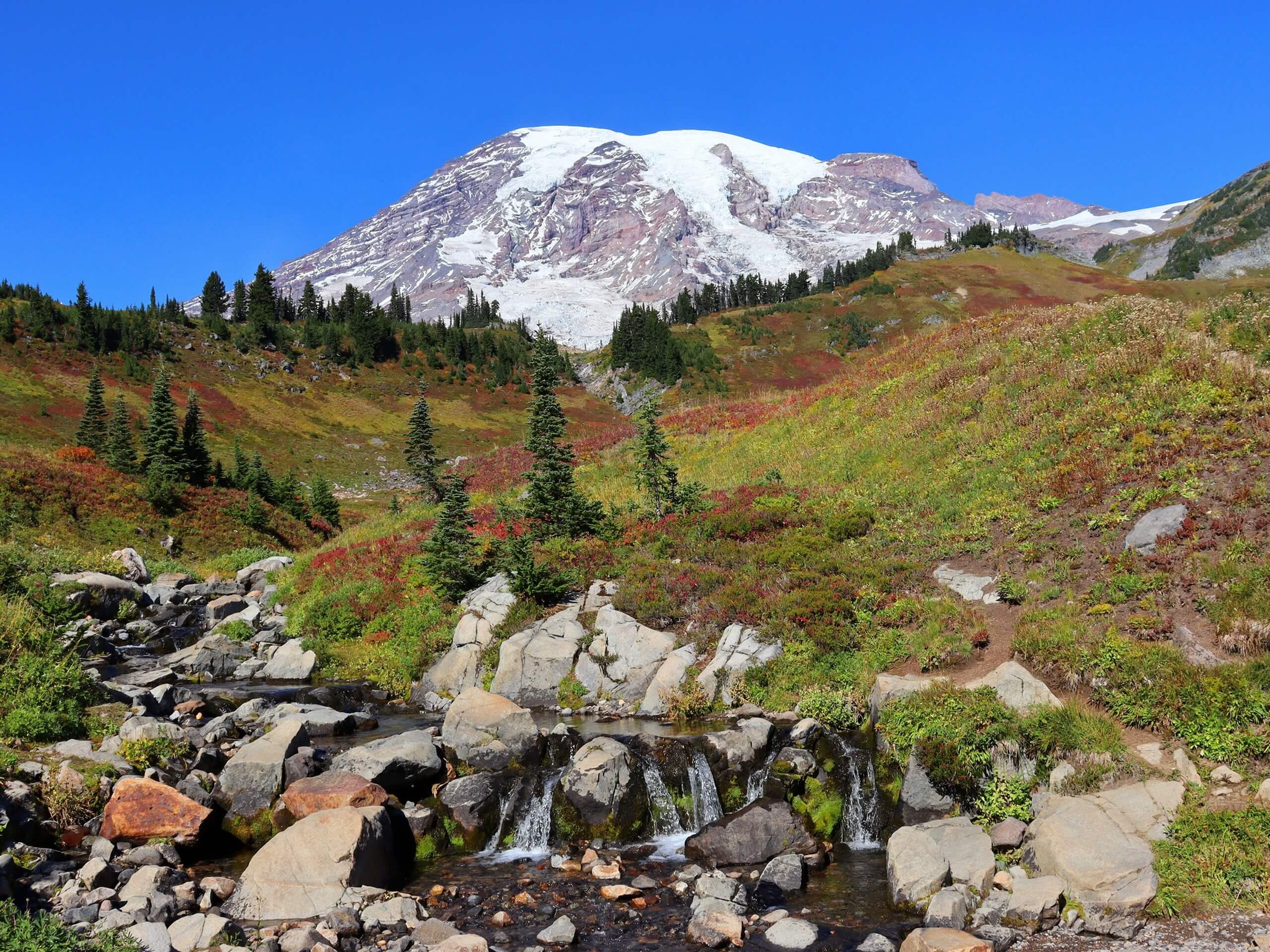
Myrtle Falls Hike
Difficulty Rating:
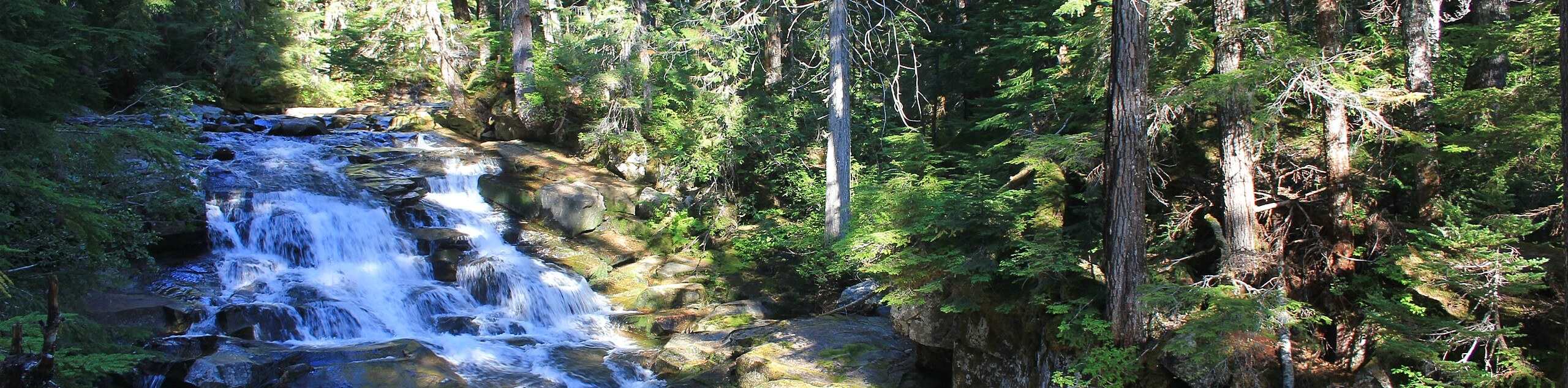
The Myrtle Falls hike is a short, easy trail in Mount Rainier National Park that is perfect for families. This 0.8mi outing leads you to a gorgeous cascading waterfall nestled underneath the mountains. During the summer months, the trail is lined by wildflowers and verdant forest, making this short journey a memorable one.
Getting there
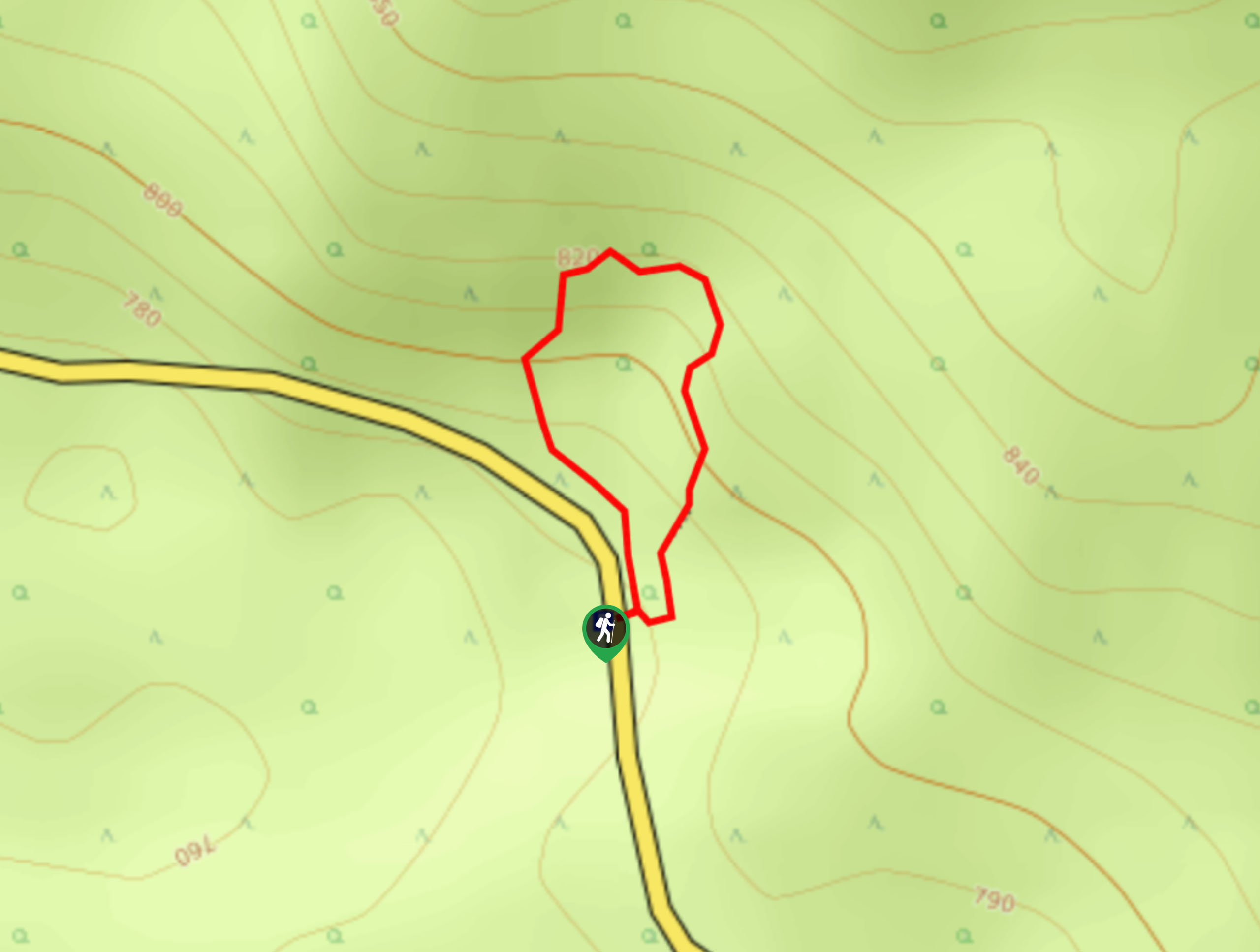
To get to the Myrtle Falls trailhead from the east entrance to the park, take Highway 123 to Stevens Canyon Road. Continue for 19.0mi to the right turn onto Paradise Road East. Drive for two miles until you reach the visitor center.

About
| Backcountry Campground | No |
| When to do | June-October |
| Pets allowed | No |
| Family friendly | Yes |
| Route Signage | Average |
| Crowd Levels | High |
| Route Type | Out and back |
Myrtle Falls Hike
Elevation Graph
Weather
Myrtle Falls Hike Description
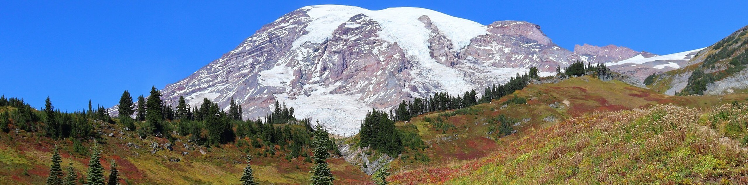
Myrtle Falls is a very scenic little spot in Mount Rainier National Park, and the hike to the falls offers plenty of natural beauty in a short distance. While the trail is very family-friendly because of its length and lack of elevation gain, the trail is still natural, making strollers a potential challenge.
From the Paradise Visitor Center, depart on the Skyline Trail, which first heads northwest before heading northeast at a junction (keep right). This first section is paved.
When you reach a junction with a private trail, head to the right. The viewpoint is just past the falls on this trail. The falls cascade down and snowy peaks can be seen behind them. This is a splendid viewpoint, so take your time.
When you’re ready, retrace your steps to the parking lot, or rejoin the Skyline Trail and continue heading north to keep exploring.
Insider Hints
You can lengthen your hike along the Skyline Trail past the falls for more of an adventure.
The trail and the parking lot can both be busy on peak days, so consider visiting early in the morning or later in the afternoon.
Similar hikes to the Myrtle Falls Hike hike
Twin Firs Loop Trail
Twin Firs Loop is a 0.3mi hike in Mount Rainier National Park that is incredibly easy, making it…
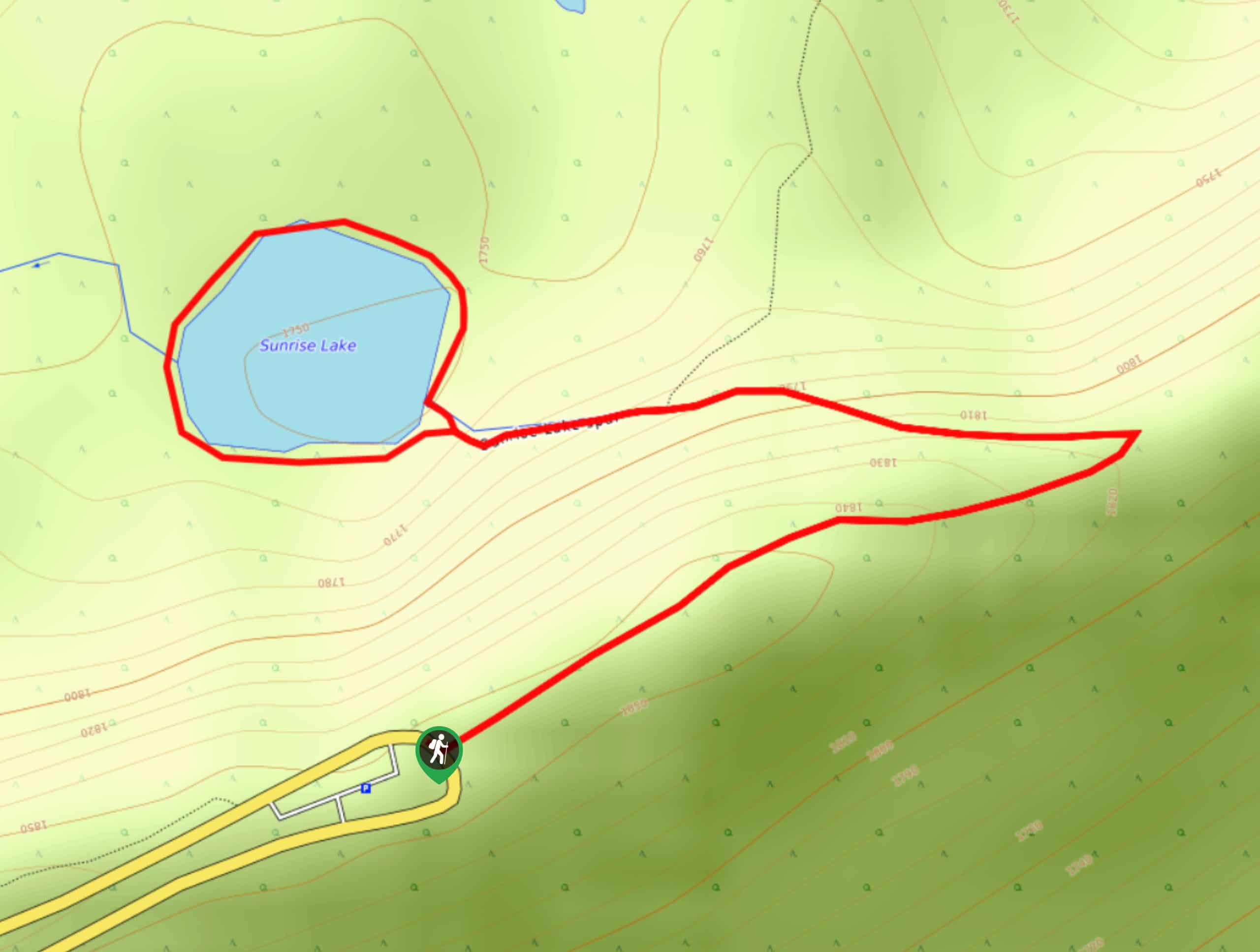
Sunrise Lake Trail
The Sunrise Lake Trail is an easy, short, family-friendly hike in Mount Rainier National Park that features a small lake.…
Madcap Falls Hike
The Madcap Falls hike is an easy 2.9mi trail in Mount Rainier National Park that features a waterfall…
Comments