Norse Peak Trail
View Photos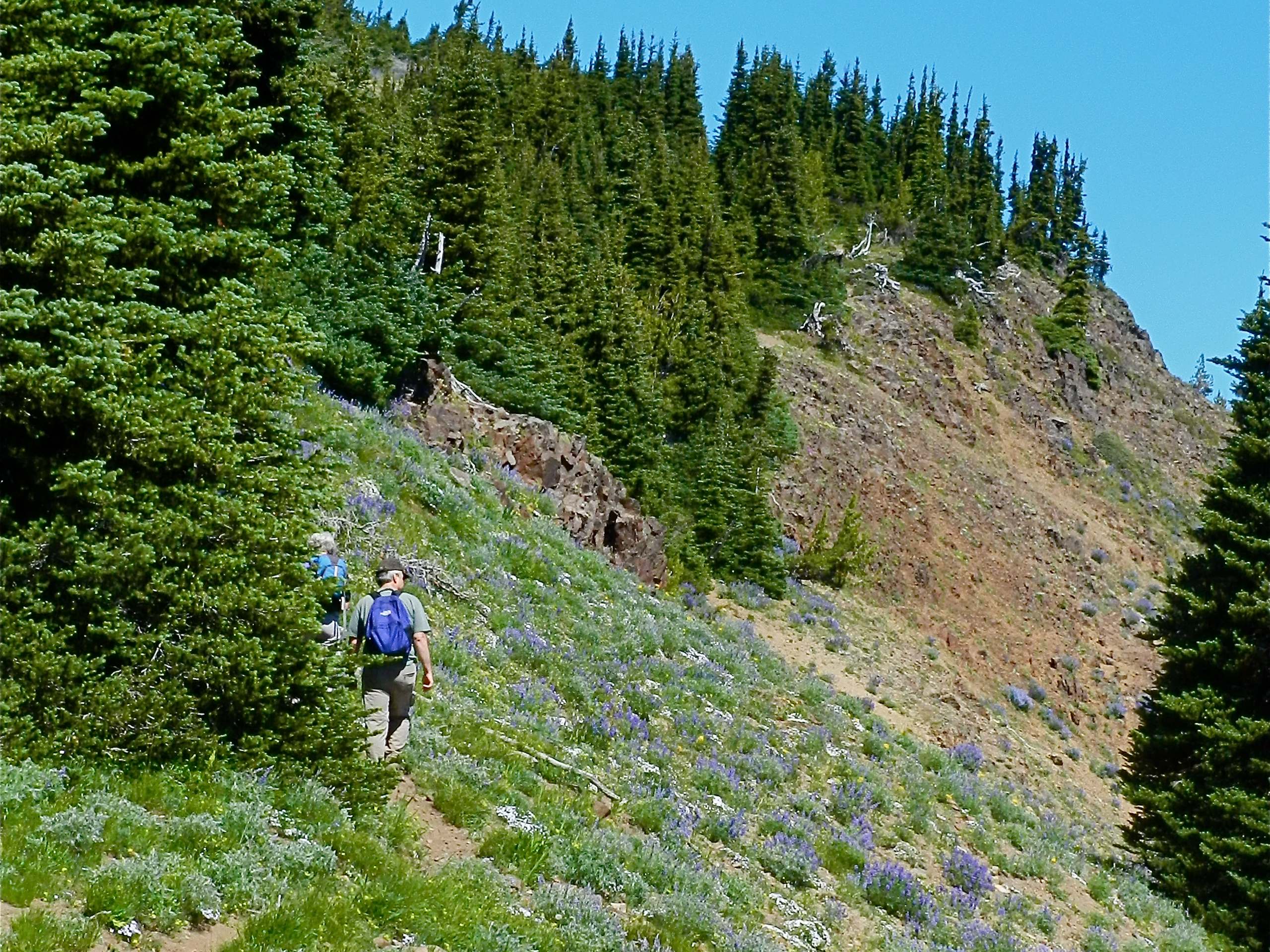
Norse Peak Trail
Difficulty Rating:
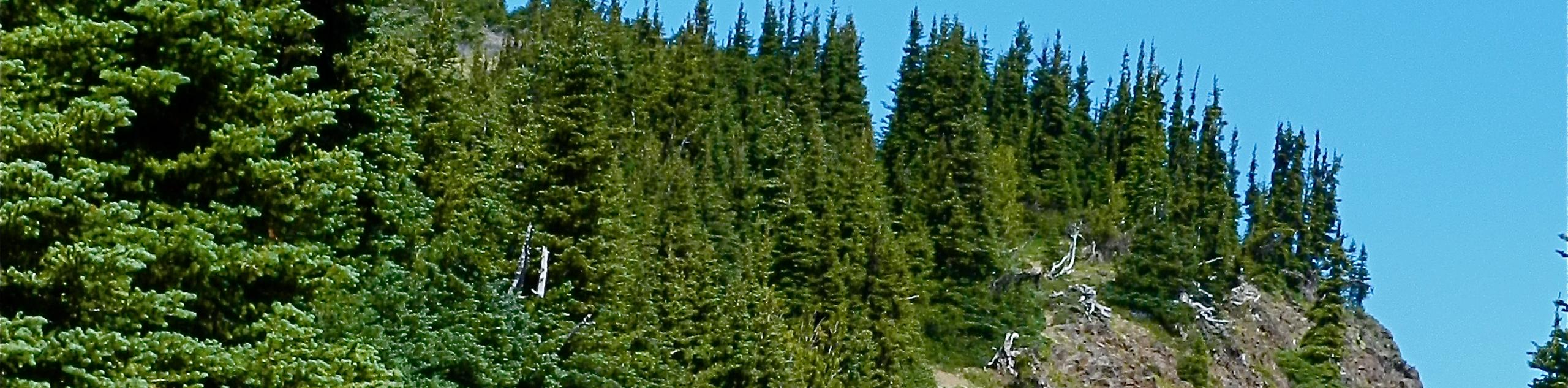
Norse Peak Trail is a hard day hike in Mount Baker-Snoqualmie National Forest. This trail is almost 9.9mi long with 3222ft of elevation gain. It’s a longer day, but the views of Mount Rainier from the top make it worth it. We recommend planning to hike this trail on a clear day if possible.
Part of the trail is recovering from a forest fire, but it doesn’t detract from the overall experience of the hike.
Getting there
The trailhead for Norse Peak Trail is off Crystal Mountain Blvd where Gold Hill Road intersects.

About
| Backcountry Campground | No |
| When to do | June-September |
| Pets allowed | Yes - On Leash |
| Family friendly | No |
| Route Signage | Average |
| Crowd Levels | Moderate |
| Route Type | Out and back |
Norse Peak Trail
Elevation Graph
Weather
Norse Peak Trail Description
Norse Peak is a big hike to complete, but it’s worth the effort. This trail offers a great view of Mount Rainier and the surrounding mountains of forest, especially on a clear day. If you visit outside of the peak weekend hours, you’re almost guaranteed to have the trail mostly to yourself- definitely a perk!
Part of the trail is recovering from a forest fire, but this increases the number of blooms to enjoy in the early-mid summer.
The hike begins from the parking area on the road. Take Gold Hill Road a short distance to where the trail heads up across a long section of switchback turns. After the route straightens out a bit, keep straight where Goat Lake Trail intersects.
The trail zig-zags and the Norse Peak View Trail split off from Norse Peak Trail. They meet again before the summit, so it doesn’t make too much of a difference which one you take. The two trails converge into the Norse Peak View Trail.
At the summit, the Norse Peak Trail actually continues further to drop down the other side of the peak and meet the PCT. Most hikers just turn around at the summit instead of completing the final stretch of the route.
Similar hikes to the Norse Peak Trail hike

Lakes Dorothy, Bear, Deer, and Snoqualmie Hike
The Lakes Dorothy, Bear, Deer, and Snoqualmie Hike provides access to Lake Dorothy, Bear Lake, Deer Lake, and Snoqualmie Lake.…

Gold Creek Trail to Joe Lake
Gold Creek Trail to Joe Lake is not a hike for the faint of heart. This lightly trafficked trail is…

Basin Lake via Bullion Basin Trail
Basin Lake via Bullion Basin Trail is a 12.2mi hike that, with 2900ft of elevation gain,…
Comments