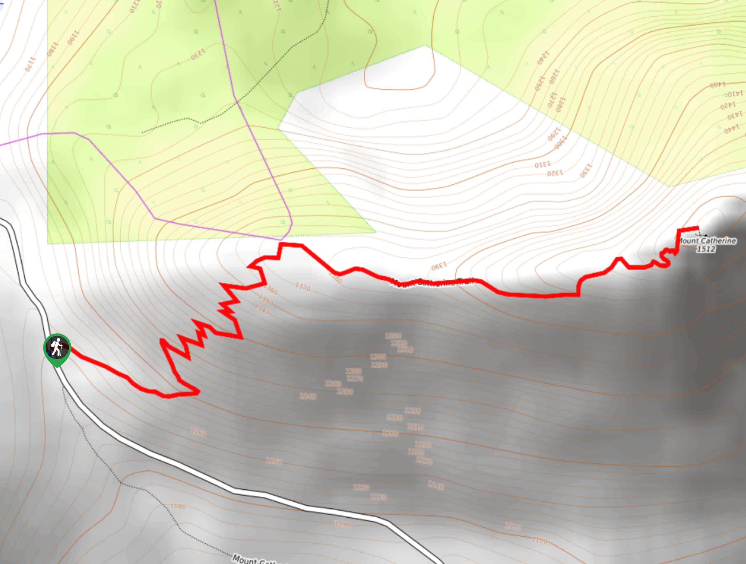
Mount Catherine Trail
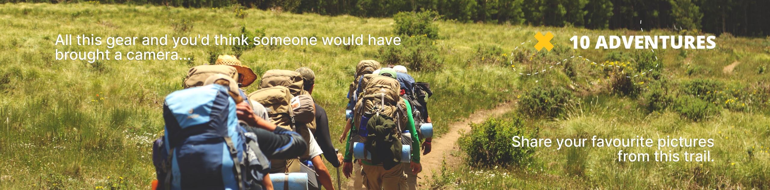
View Photos
Mount Catherine Trail
Difficulty Rating:
Mount Catherine Trail is a moderate hike, with 3.1mi of distance and 1309ft of elevation gain. It’s easy enough for beginners, but it doesn’t compromise on views. The forest is lovely and the views of the Cascades are even better. There is a rope at the end of the trail that might make you think you need to scramble, but you could easily reach the top without it.
Getting there
The trailhead for the Mount Catherine Trail is on Forest Road 9070. There is no designated parking so you’ll have to park along the road.

About
| Backcountry Campground | No |
| When to do | May-October |
| Pets allowed | Yes - On Leash |
| Family friendly | Older Children only |
| Route Signage | Average |
| Crowd Levels | High |
| Route Type | Out and back |
Mount Catherine Trail
Elevation Graph
Weather
Mount Catherine Trail Description
Mount Catherine Trail is a very picturesque trail that can be completed in a short afternoon. It’s not a difficult hike, with consistent elevation gain and no technical sections. Keep an eye out for blueberries and huckleberries if you’re hiking in the late summer.
The trail begins from the roadside, heading east into the forest before winding up some switchback turns. The elevation gain is consistent but very manageable. Watch for peeks of the mountains as you hike through the forest.
The trail straightens out on the approach to the top. There is a rope to assist on the steepest section just before the summit, but this part isn’t actually too difficult and you should be able to get up to the summit without it. Enjoy the views up here before retracing your steps back down through the trees to the trailhead.
Similar hikes to the Mount Catherine Trail hike

Lakes Dorothy, Bear, Deer, and Snoqualmie Hike
The Lakes Dorothy, Bear, Deer, and Snoqualmie Hike provides access to Lake Dorothy, Bear Lake, Deer Lake, and Snoqualmie Lake.…

Gold Creek Trail to Joe Lake
Gold Creek Trail to Joe Lake is not a hike for the faint of heart. This lightly trafficked trail is…

Basin Lake via Bullion Basin Trail
Basin Lake via Bullion Basin Trail is a 12.2mi hike that, with 2900ft of elevation gain,…
Comments