McClellan Butte Trail
View Photos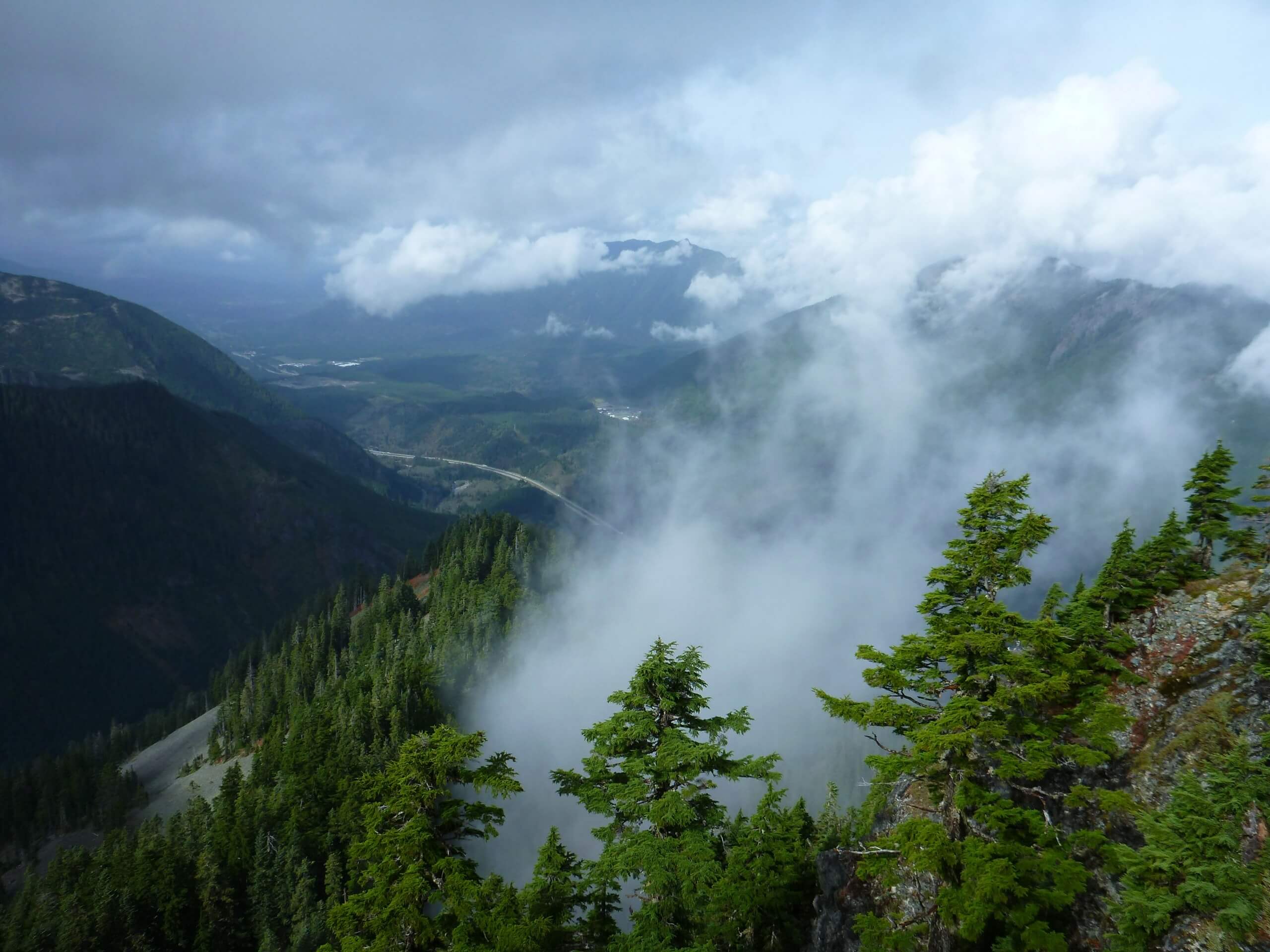
McClellan Butte Trail
Difficulty Rating:
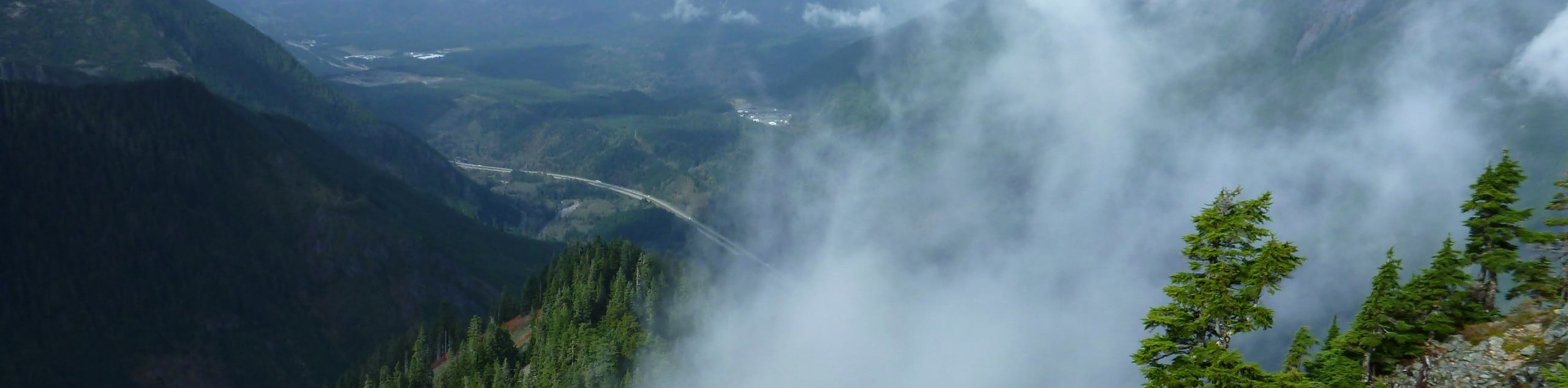
McClellan Butte Trail is a heavily trafficked out-and-back trail in Mount Baker-Snoqualmie National Forest that is rated as hard. This hike is a great way to try out your first real scramble, with a final rocky push required to reach the summit. If the scramble is too intimidating, you can still enjoy a solid workout most of the way up the mountain.
Getting there
The trailhead for the McClellan Butte Trail is in a parking area off Tinkham Road.

About
| Backcountry Campground | Alice Creek Campsite |
| When to do | April-October |
| Pets allowed | Yes - On Leash |
| Family friendly | No |
| Route Signage | Good |
| Crowd Levels | High |
| Route Type | Out and back |
McClellan Butte Trail
Elevation Graph
Weather
McClellan Butte Trail Description
McClellan Butte Trail is ideal for hikers looking for a solid workout with a little bit of technical flair. The distance and elevation to the summit will get you sweating, and a fun scramble to the top gives you some hands-on time.
The trail begins from the parking loop, skirting Alice Creek Campsite and then slowly switchbacking right up the butte face. The trail is steep and tiring—no way around that! Traverse across the eastern face below the summit, crossing several streams, which are variably high depending on recent rainfall.
The trail wraps around the foot of the ridge before ascending just below the crest on the left side. Take a short scramble to the ridgetop and celebrate your ascent! When you’re ready, carefully downclimb and then retrace your steps to the trailhead.
Similar hikes to the McClellan Butte Trail hike

Lakes Dorothy, Bear, Deer, and Snoqualmie Hike
The Lakes Dorothy, Bear, Deer, and Snoqualmie Hike provides access to Lake Dorothy, Bear Lake, Deer Lake, and Snoqualmie Lake.…

Gold Creek Trail to Joe Lake
Gold Creek Trail to Joe Lake is not a hike for the faint of heart. This lightly trafficked trail is…

Basin Lake via Bullion Basin Trail
Basin Lake via Bullion Basin Trail is a 12.2mi hike that, with 2900ft of elevation gain,…
Comments