Heybrook Ridge Trail
View Photos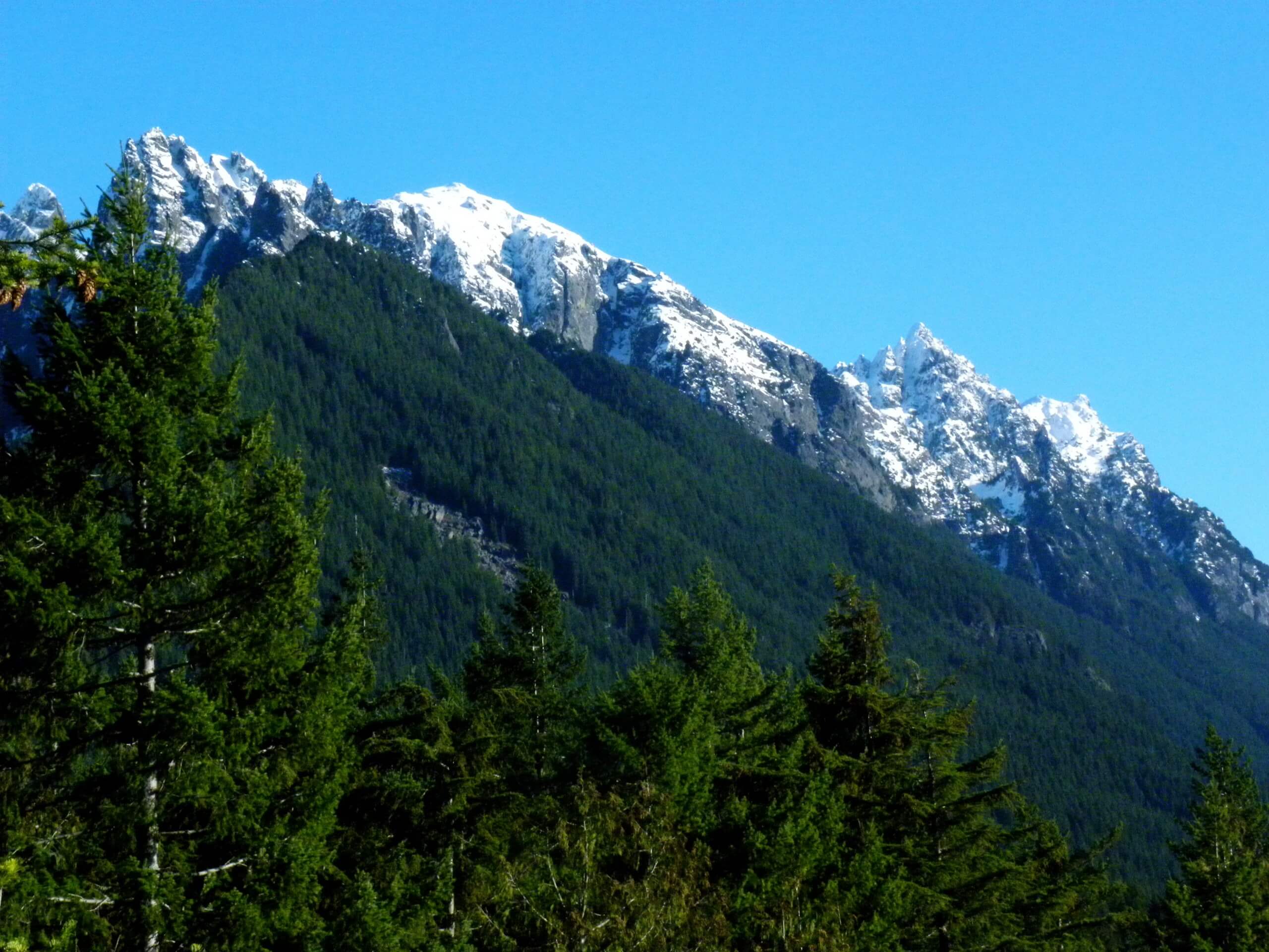
Heybrook Ridge Trail
Difficulty Rating:
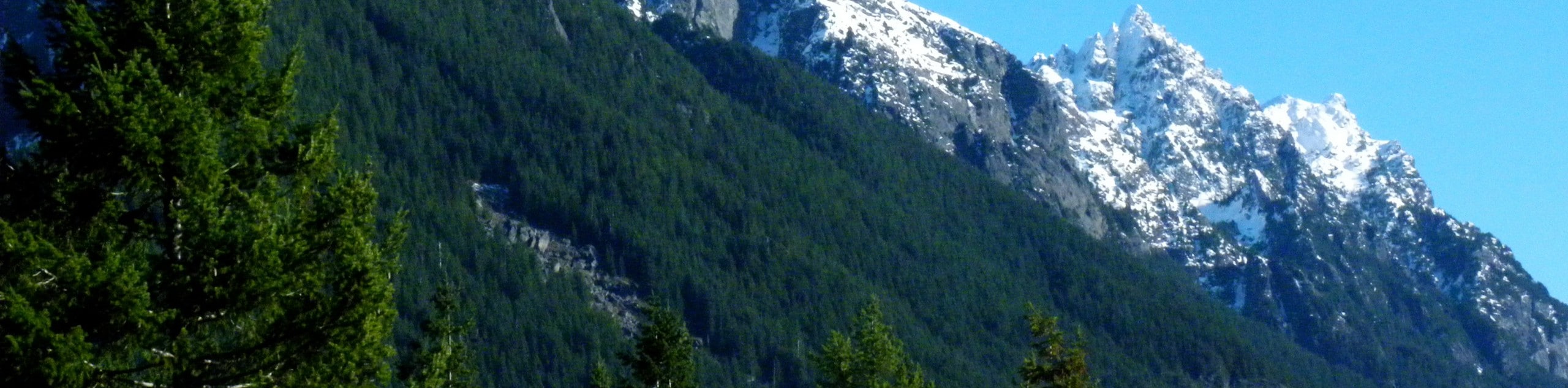
The Heybrook Ridge Trail is a heavily trafficked out-and-back trail in the Mount Baker-Snoqualmie National Forest that is rated as moderate. This hike is short, and while a bit of steeper hiking is required near the end, it’s not an overly difficult hike. The main view is of Bridal Veil Falls and the surrounding mountains.
Note that this is not the Heybrook Lookout hike, although we do offer a route guide for that trail as well.
Getting there
The trailhead for the Heybrook Ridge Trail is off Index-Galena Road across the river from Index. There is a small parking area.

About
| Backcountry Campground | No |
| When to do | April-October |
| Pets allowed | Yes - On Leash |
| Family friendly | Older Children only |
| Route Signage | Good |
| Crowd Levels | High |
| Route Type | Out and back |
Heybrook Ridge Trail
Elevation Graph
Weather
Heybrook Ridge Trail Description
The hike to Heybrook Ridge is fairly quick and moderate, with some more tiring elevation gain at the end of the hike. Hikers do report feeling ambivalent towards the beginning of the trail, as road noise and logging noise take a while to fade away on this hike. Remember that peace and quiet await at the top!
Start by heading roughly south out of the parking area, keeping right at the junction onto Heybrook Ridge Trail. Cruise through the noisy sections as fast as you can before beginning to switchback up the ridge face. The trail steepens here.
Keep going to the ridgetop, where you’ll have a perfect vantage point overlooking Bridal Veil Falls and the valley below.
When you’re ready, make the jaunt back to the parking lot via the same trail you took on the way up.
Similar hikes to the Heybrook Ridge Trail hike

Lakes Dorothy, Bear, Deer, and Snoqualmie Hike
The Lakes Dorothy, Bear, Deer, and Snoqualmie Hike provides access to Lake Dorothy, Bear Lake, Deer Lake, and Snoqualmie Lake.…

Gold Creek Trail to Joe Lake
Gold Creek Trail to Joe Lake is not a hike for the faint of heart. This lightly trafficked trail is…

Basin Lake via Bullion Basin Trail
Basin Lake via Bullion Basin Trail is a 12.2mi hike that, with 2900ft of elevation gain,…
Comments