Franklin Falls via National Forest Development Road 58
View Photos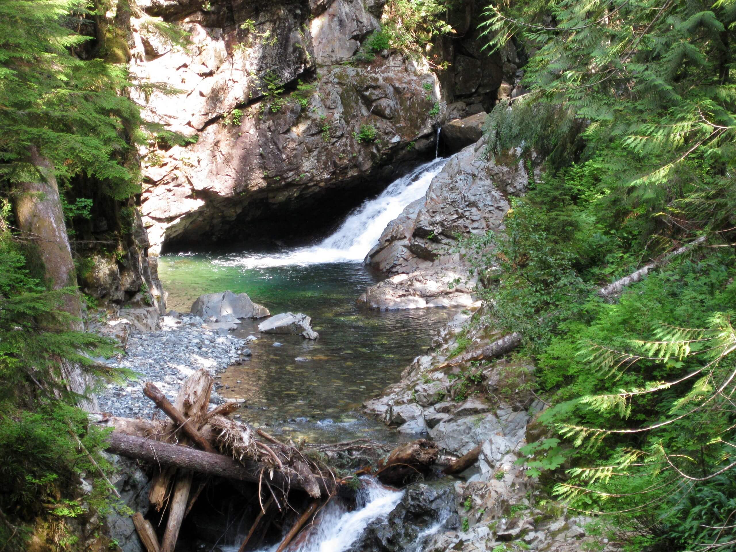
Franklin Falls via National Forest Development Road 58
Difficulty Rating:
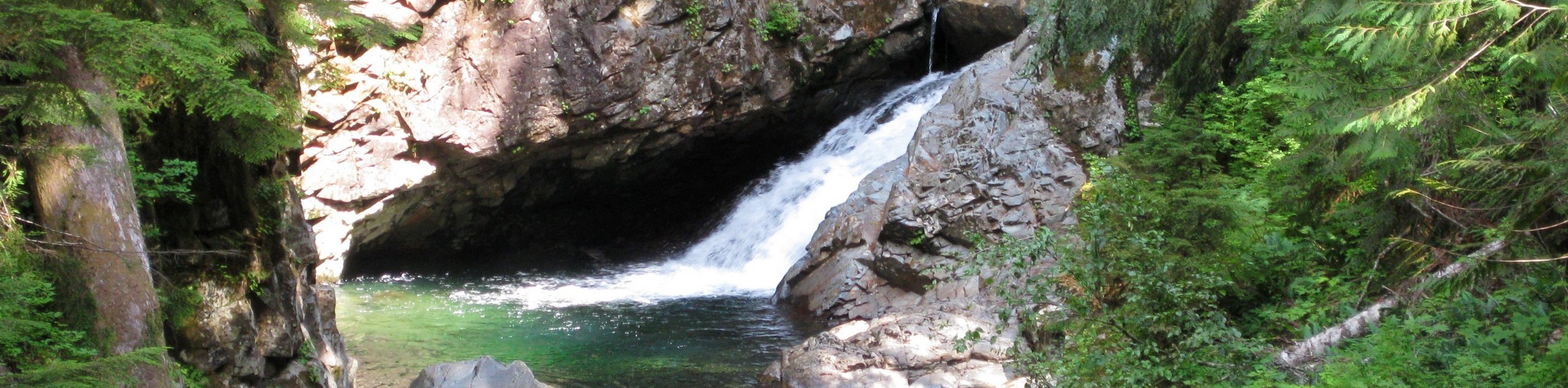
Franklin Falls via National Forest Development Road 58 is a heavily trafficked out-and-back trail in Mount Baker-Snoqualmie National Forest that features a waterfall. This is an easy trail suitable for families with children and it is accessible in most seasons. The waterfall is beautiful and refreshing to enjoy on a hot day, and many families and beginner hikers will find this trail doable and simple. This is a unique approach versus the normal access to the falls.
Getting there
The trailhead for the hike to Franklin Falls on National Forest Development Road starts in Snoqualmie Pass. Park near the US Forest Service Information Center.

About
| Backcountry Campground | None |
| When to do | Year-round |
| Pets allowed | Yes - On Leash |
| Family friendly | Yes |
| Route Signage | Average |
| Crowd Levels | High |
| Route Type | Out and back |
Franklin Falls via National Forest Development Road 58
Elevation Graph
Weather
Franklin Falls via National Forest Development Road 58 Description
Waterfall hikes are some of the best to enjoy in Washington, and Franklin Falls is hugely popular with locals and visitors to the area alike. This simple, quick trail is a joy for families and hikers of all levels. With no difficult or technical sections and only modest elevation gain, little ones and beginners are especially likely to enjoy this trail. It does get busy in peak hours, so try coming early in the morning or later in the afternoon to enjoy a less busy experience. Note that this route accesses the falls a different way than the regular Denny Creek starting point. This route is the one to take if you’re starting in Snoqualmie Pass.
Hike along SR 906 north from near the Forest Service Information Center. Cross I-90 and then go left onto Forest Road 58, where you can see Denny Creek Falls. This trail continues between the roads along the river, looping down south and then back north to join Franklin Falls Trail. This path takes you right up to the falls.
Enjoy the rushing falls and the cool mist. Keep an eye on little ones around the falls, as the rocks can become slippery in the mist. Once you’re ready to head back, simply turn around and retrace your steps back to the parking lot.
Similar hikes to the Franklin Falls via National Forest Development Road 58 hike

Lakes Dorothy, Bear, Deer, and Snoqualmie Hike
The Lakes Dorothy, Bear, Deer, and Snoqualmie Hike provides access to Lake Dorothy, Bear Lake, Deer Lake, and Snoqualmie Lake.…

Gold Creek Trail to Joe Lake
Gold Creek Trail to Joe Lake is not a hike for the faint of heart. This lightly trafficked trail is…

Basin Lake via Bullion Basin Trail
Basin Lake via Bullion Basin Trail is a 12.2mi hike that, with 2900ft of elevation gain,…
Comments