Lower Tuscohatchie Lake Hike
View Photos
Lower Tuscohatchie Lake Hike
Difficulty Rating:
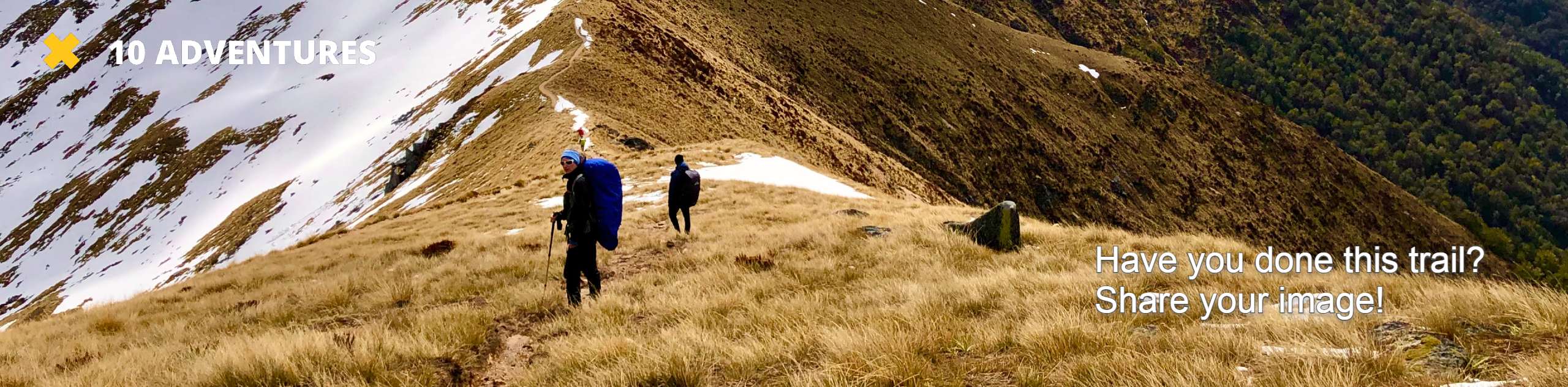
The hike to Lower Tuscohatchie Lake is a hard 12.1mi with 3320ft of elevation gain, but it’s a great trip to make in a full day or for a backpacking trip. This trail sees moderate traffic that tends to thin out the closer to the lake you get, and you’ll enjoy the serenity of the lakeshore with a waterfall to boot.
Getting there
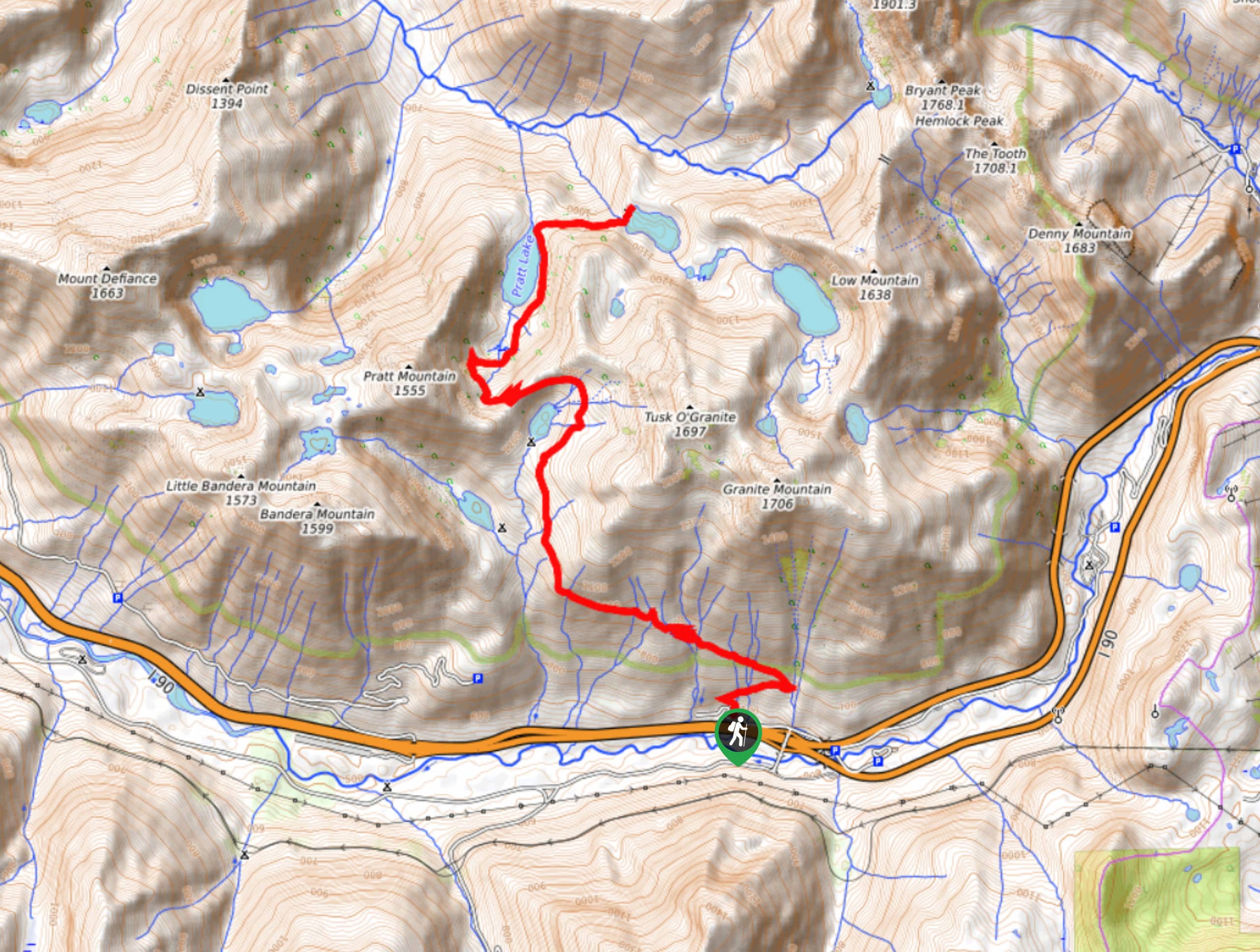
The trailhead for the hike to Lower Tuscohatchie Lake is on National Forest Development Road 9034 off I-90.

About
| Backcountry Campground | Pratt Lake Backcountry, Lower Tuscohatchie Lake Backcountry |
| When to do | April-October |
| Pets allowed | Yes - On Leash |
| Family friendly | Older Children only |
| Route Signage | Average |
| Crowd Levels | Moderate |
| Route Type | Out and back |
Lower Tuscohatchie Lake Hike
Elevation Graph
Weather
Lower Tuscohatchie Lake Hike Description
The hike to Lower Tuscohatchie Lake is a perfect full-day trip or backpacking adventure to a pretty lake with a waterfall. You’ll pass Pratt Lake on the way, but the crowds definitely thin out the closer to your destination you get, giving you a relaxing experience on the lakeshore.
The hike begins from the Granite Mountain Trailhead. Take Pratt Lake Trail #1007 north, crossing the stream and then curving back to cross it again, then two more. This is a common theme: there are lots of water crossings on this hike!
After a wide left turn, you’ll traverse west, gaining elevation and crossing countless streams and creeks. The trail curves north again around the foot of the mountain beside you, and you should be able to see Talapus Lake below on your left.
Wrap around the north end of Olallie Lake, switchbacking to lose a bit of elevation into the valley that Pratt Lake sits in. Even more creek crossings bring you around the eastern shore of the lake. The talus field that leads you into the Pratt Lake Basin may be challenging for some, but just take your time.
The half-mile climb from Pratt Lake to Lower Tuscohatchie is a harder finish, but you’ll just need to take Melakwa Lake Trail directly east to reach it. From the lakeshore, you’ll retrace your steps back to the trailhead.
Similar hikes to the Lower Tuscohatchie Lake Hike hike

Lakes Dorothy, Bear, Deer, and Snoqualmie Hike
The Lakes Dorothy, Bear, Deer, and Snoqualmie Hike provides access to Lake Dorothy, Bear Lake, Deer Lake, and Snoqualmie Lake.…

Gold Creek Trail to Joe Lake
Gold Creek Trail to Joe Lake is not a hike for the faint of heart. This lightly trafficked trail is…

Basin Lake via Bullion Basin Trail
Basin Lake via Bullion Basin Trail is a 12.2mi hike that, with 2900ft of elevation gain,…
Comments